Mount Coeur d'Alene (439)
Total Miles
9.5
Technical Rating
Best Time
Summer, Fall
Trail Type
Full-Width Road
Accessible By
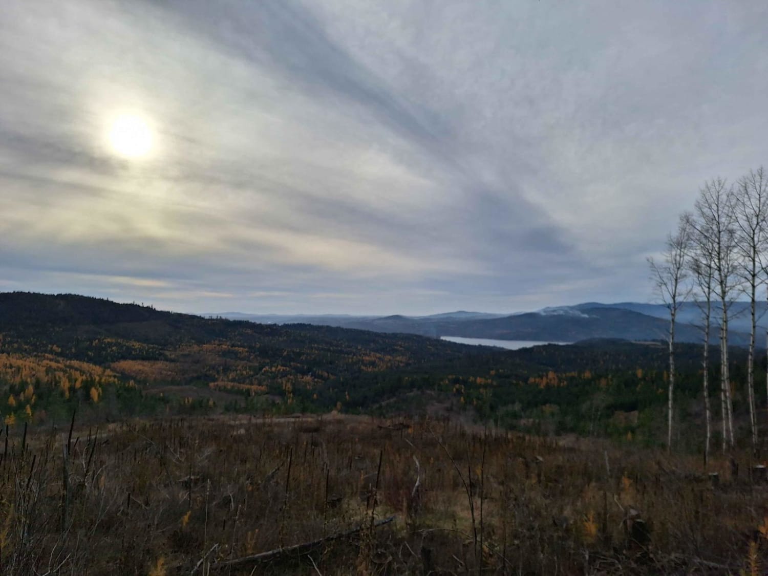
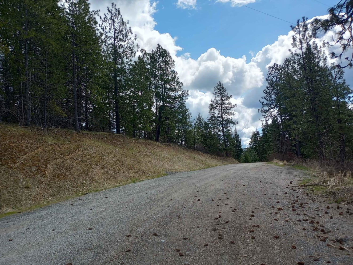
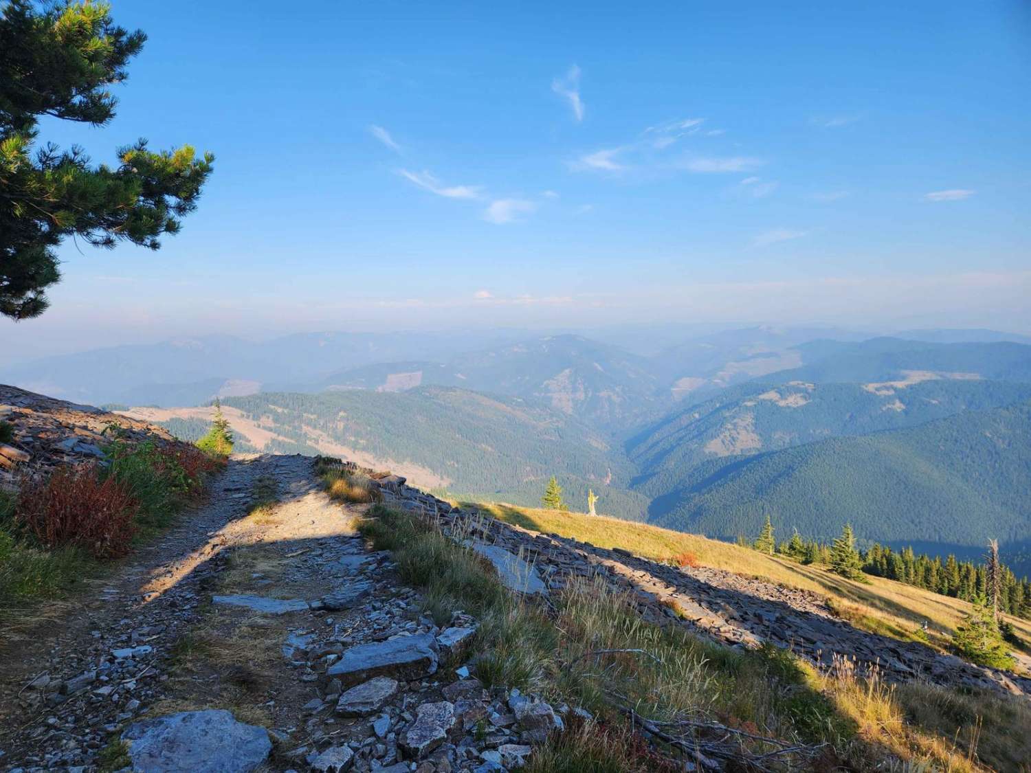
Trail Overview
Mount Coeur d'Alene (439) is a single-width road that begins off East Burma Road and heads east up Mount Coeur d'Alene. After the peak of Mount Coeur d'Alene, it continues towards Red Horse Mountain, ending near Beauty Saddle at a large 4-way intersection with plenty of room to park and some breathtaking views. From this point, there are multiple routes to take-you can head north or south on Divide (614) or head back the way you came. The fastest route back is west on Beauty Creek (438) for two miles where you'll hit pavement.
Photos of Mount Coeur d'Alene (439)
Difficulty
The road is single-width and some areas will prove difficult to pass oncoming traffic. There are some washouts and ruts up to a foot deep. This road is not maintained in winter; seasonal snow and mud may increase the difficulty.
Status Reports
Mount Coeur d'Alene (439) can be accessed by the following ride types:
- High-Clearance 4x4
- SUV
- SxS (60")
- ATV (50")
- Dirt Bike
Mount Coeur d'Alene (439) Map
Popular Trails

Hard Creek Basin
South Fork of the Salmon River Trail

Crooked Ridge - FS 258
The onX Offroad Difference
onX Offroad combines trail photos, descriptions, difficulty ratings, width restrictions, seasonality, and more in a user-friendly interface. Available on all devices, with offline access and full compatibility with CarPlay and Android Auto. Discover what you’re missing today!