Moose Creek Upper Road Track
Total Miles
3.2
Technical Rating
Best Time
Summer, Spring, Fall
Trail Type
50" Trail
Accessible By
Trail Overview
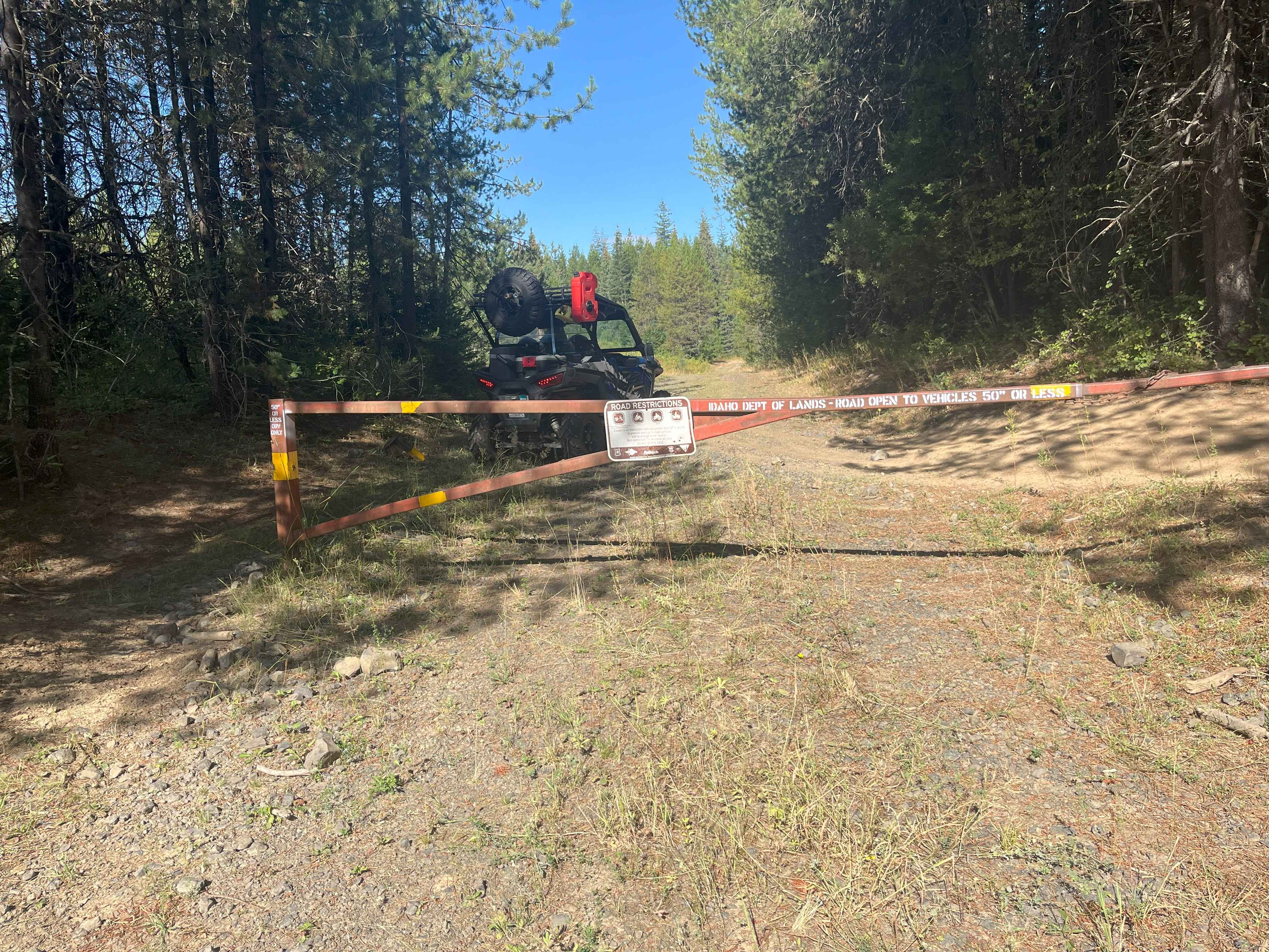
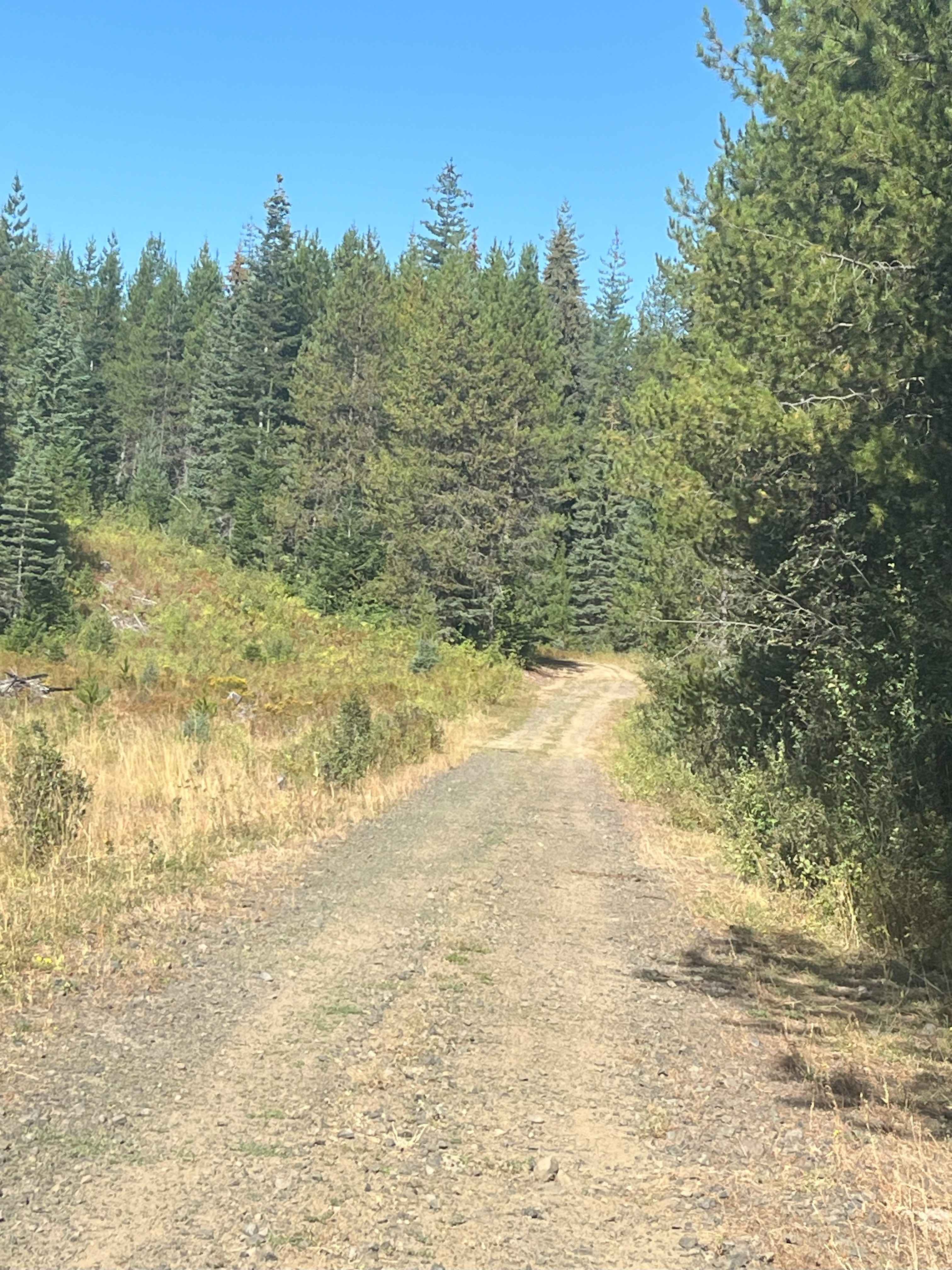
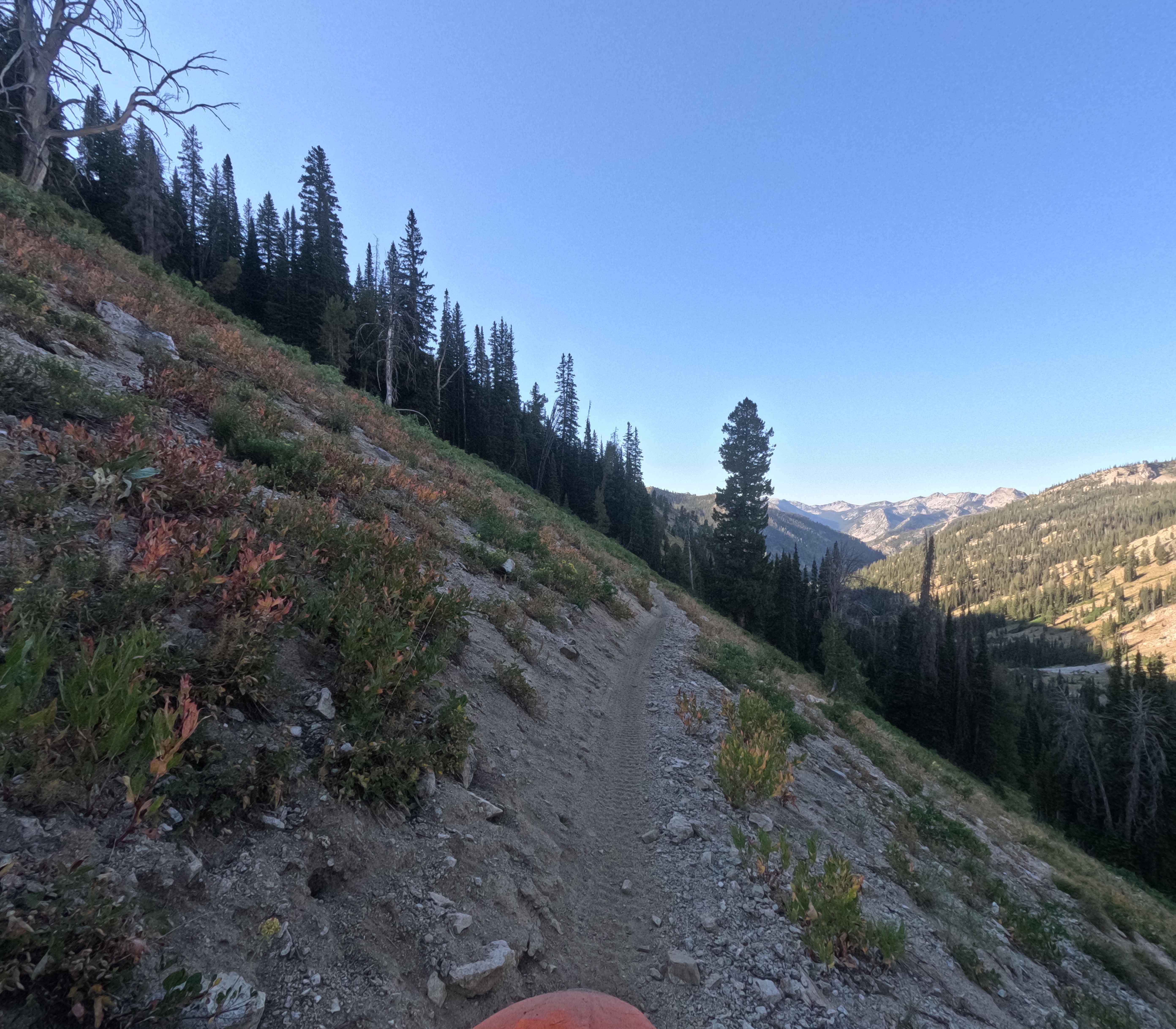
This gated road, managed by the Idaho Department of Lands, is limited to 50-inch or smaller vehicles with nearby parking available. The dirt road is generally wide, with some bumps and runoff areas, and it winds through a mix of forest and open terrain. Several spur roads branch off along the way. At the fork, this route continues for about three miles one way, ending where the road narrows into dense woods. Wildlife is often seen along the route.
Photos of Moose Creek Upper Road Track
Difficulty
The trail is generally easy but has uneven sections, and conditions can vary from year to year depending on runoff.
Status Reports
Moose Creek Upper Road Track can be accessed by the following ride types:
- ATV (50")
- Dirt Bike
Moose Creek Upper Road Track Map
Popular Trails
North Fork Ross Fork - FS 7226

Ames Ridge NRT

St Joe Divide NRT ATV (Kellogg Saddle to Dam Creek)
The onX Offroad Difference
onX Offroad combines trail photos, descriptions, difficulty ratings, width restrictions, seasonality, and more in a user-friendly interface. Available on all devices, with offline access and full compatibility with CarPlay and Android Auto. Discover what you’re missing today!