Missouri Mine Trail
Total Miles
8.6
Technical Rating
Best Time
Spring, Summer, Fall
Trail Type
High-Clearance 4x4 Trail
Accessible By
Trail Overview
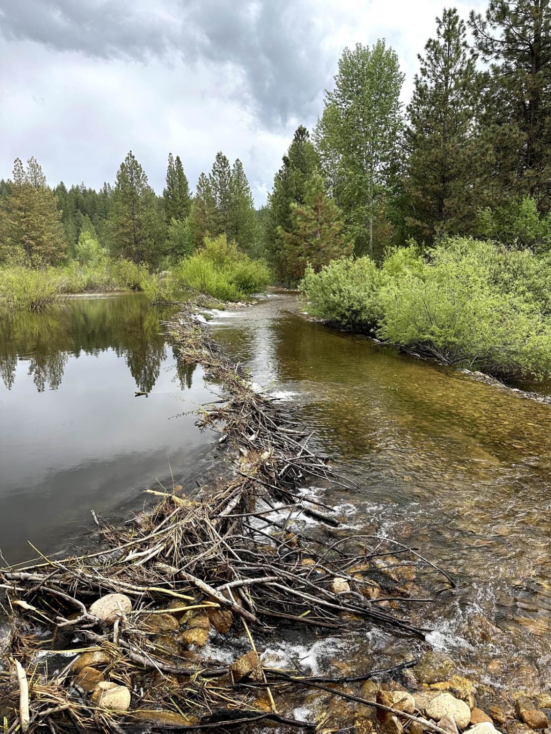
This 8.7-mile point-to-point trail starts at the top of Grimes Pass and heads back down to Pioneerville. This fun short trail is passable by High-clearance 4X4 vehicles but has a lot of overgrowths that may cause pin-stripping. This trail has several sharp switchbacks as you leave the ridge line for the valley. There is a water crossing at the Pioneerville end of the trail that can be close to 12" in depth during the spring months or after heavy rainfall which gives this trail its rating.
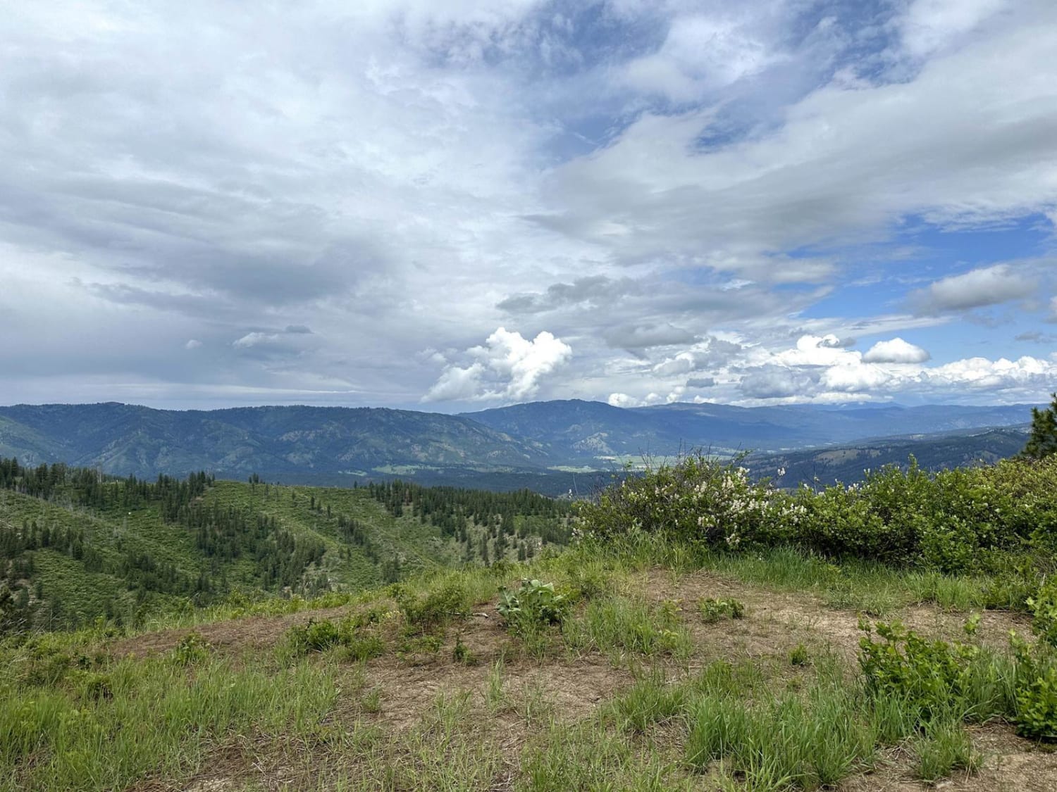
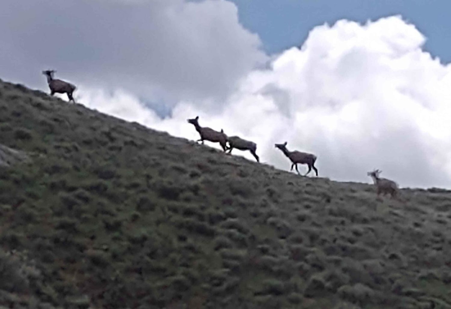
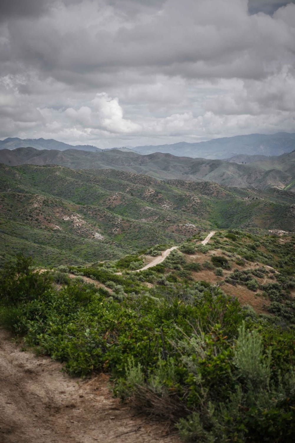
Photos of Missouri Mine Trail
Difficulty
Water crossing that can be close to 12" in depth.
Status Reports
Missouri Mine Trail can be accessed by the following ride types:
- High-Clearance 4x4
- SxS (60")
- ATV (50")
- Dirt Bike
Missouri Mine Trail Map
Popular Trails
Arco Pass to Horsethief Spur #3

Eleven Mile - Martin Creek
The onX Offroad Difference
onX Offroad combines trail photos, descriptions, difficulty ratings, width restrictions, seasonality, and more in a user-friendly interface. Available on all devices, with offline access and full compatibility with CarPlay and Android Auto. Discover what you’re missing today!