Midland #3309
Total Miles
5.1
Technical Rating
Best Time
Summer, Fall
Trail Type
50" Trail
Accessible By
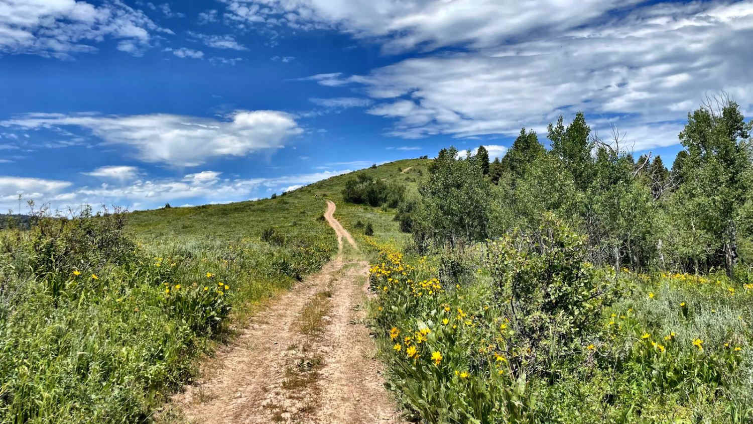
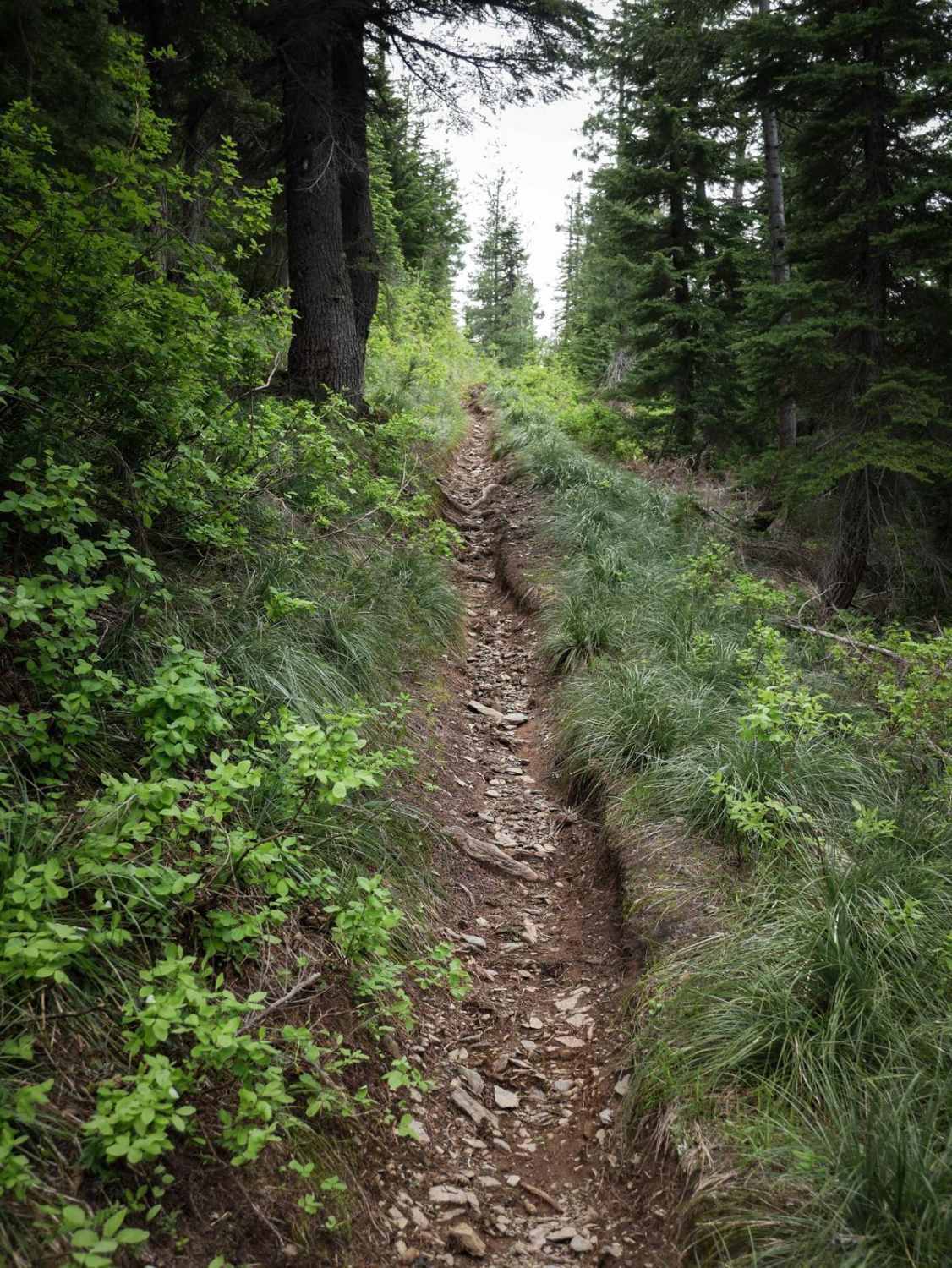
Trail Overview
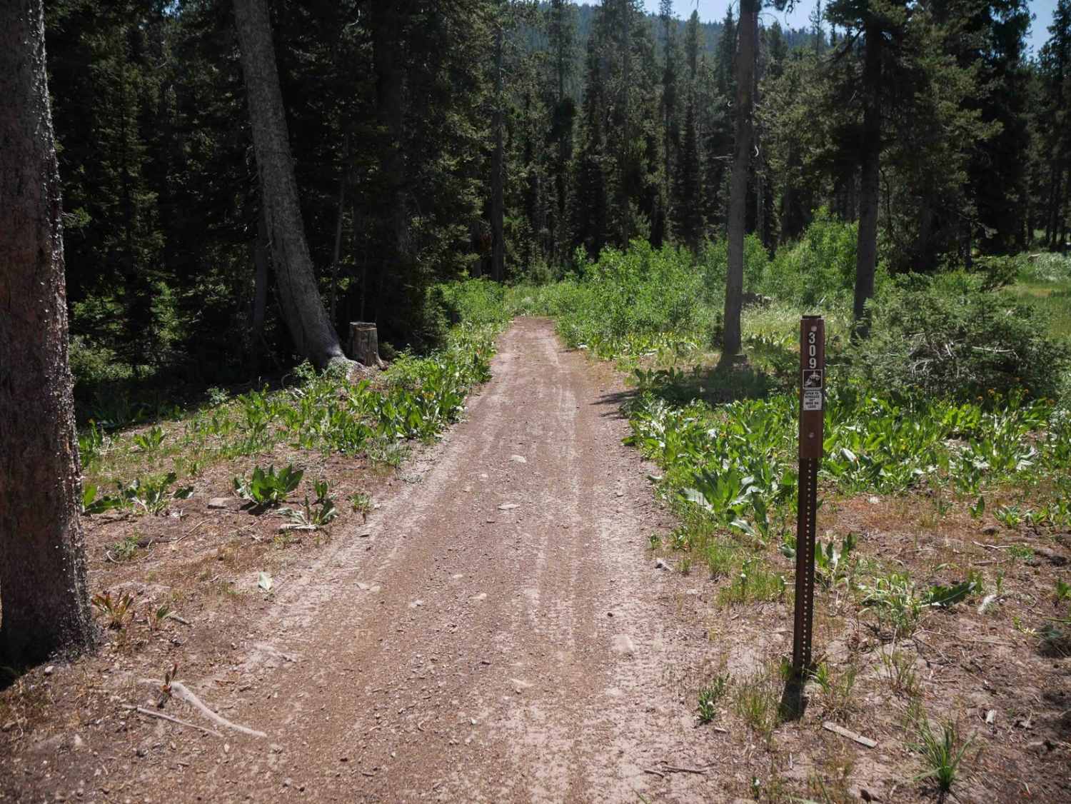
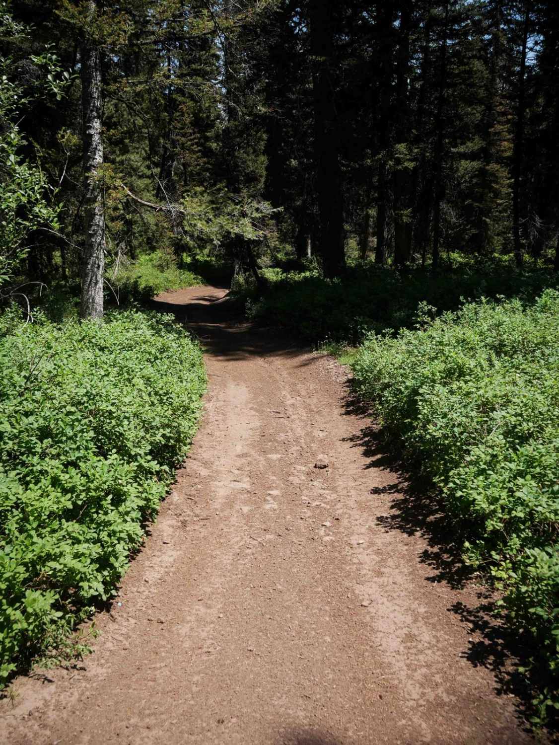
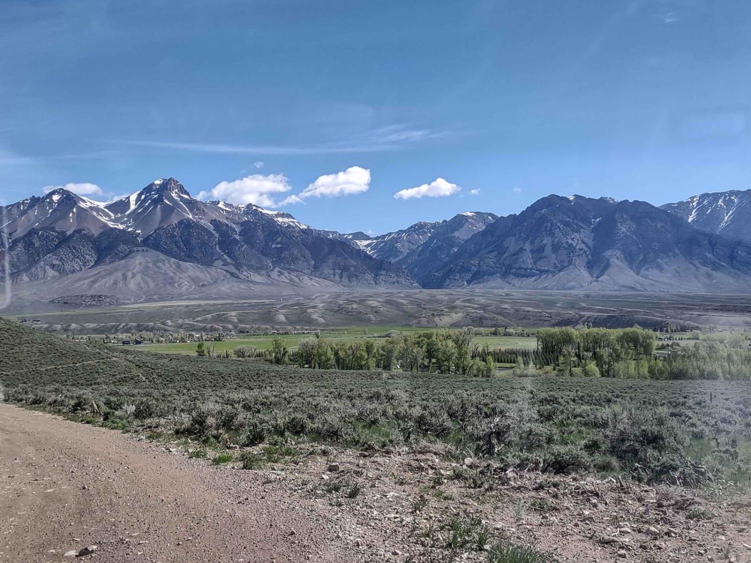
Midland #3309 is a 5.1-mile-long ATV trail that begins at the Emigration Winter Sports Parking Area and travels south through a mix of forest and open hillsides. The trail starts as a wide, easy dirt track with big waterbars and several embedded rock sections that are easy to ride over. The route meanders gradually through forested terrain, following a ravine with shallow ruts, small roots, and some banked curves. Marked intersections make navigation straightforward, though there is occasional potential for downed logs that could obstruct the trail for 50-inch vehicles if not cleared. As the trail progresses, it includes wide, gradual hairpin turns and a few 50-inch pinch point cattle grates. The southern end descends through sagebrush-covered hillsides with expansive views, steeper grades, tighter switchbacks, and a couple of small wooden bridge crossings before ending at Mahogany Basin Road #30939.
Photos of Midland #3309
Difficulty
This is an easy trail due to its gradual grades, wide layout, and absence of major technical features. Minor challenges include embedded rock, waterbars, and a few tighter turns on the southern descent.
Status Reports
Midland #3309 can be accessed by the following ride types:
- ATV (50")
- Dirt Bike
Midland #3309 Map
Popular Trails
Leslie to Mackay
Indian Hot Springs-Hagerman Route
Old Man Ridge
Flume Creek ATV
The onX Offroad Difference
onX Offroad combines trail photos, descriptions, difficulty ratings, width restrictions, seasonality, and more in a user-friendly interface. Available on all devices, with offline access and full compatibility with CarPlay and Android Auto. Discover what you’re missing today!