Hammond Canyon To Appendicitis Hill
Total Miles
4.0
Technical Rating
Best Time
Spring, Summer, Fall
Trail Type
High-Clearance 4x4 Trail
Accessible By
Trail Overview
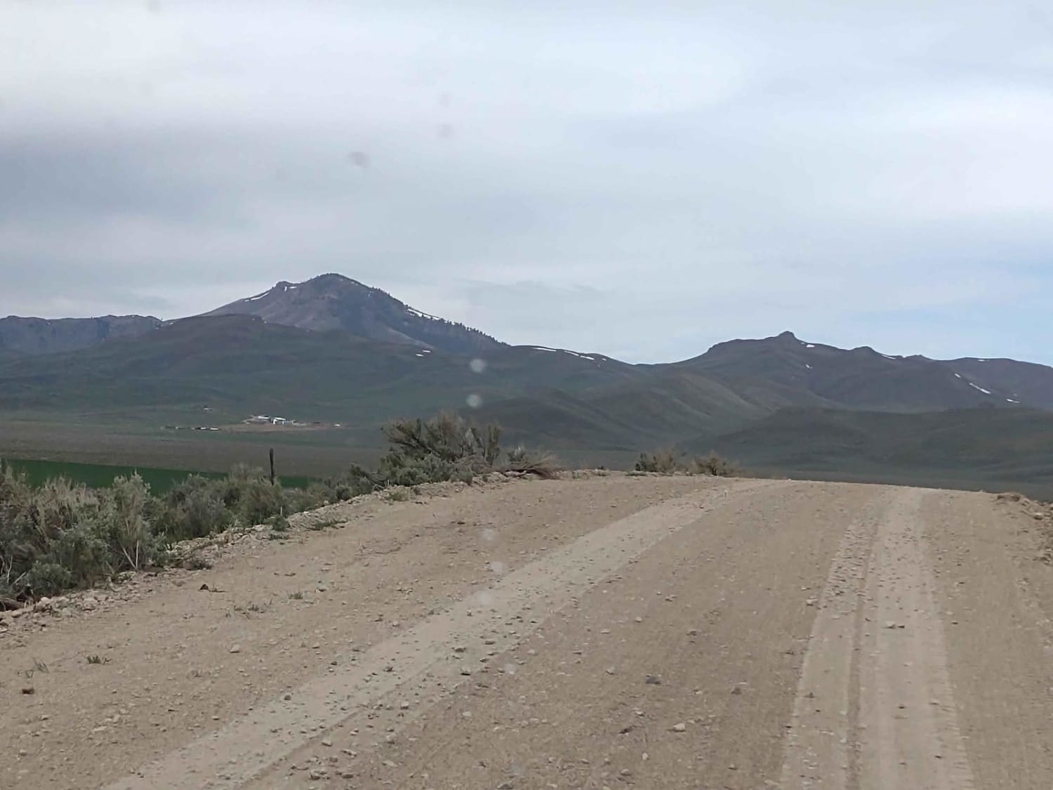
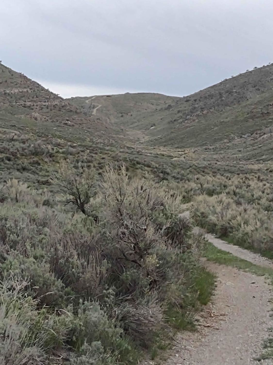
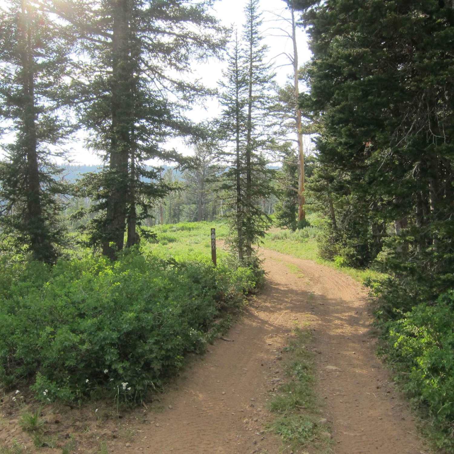
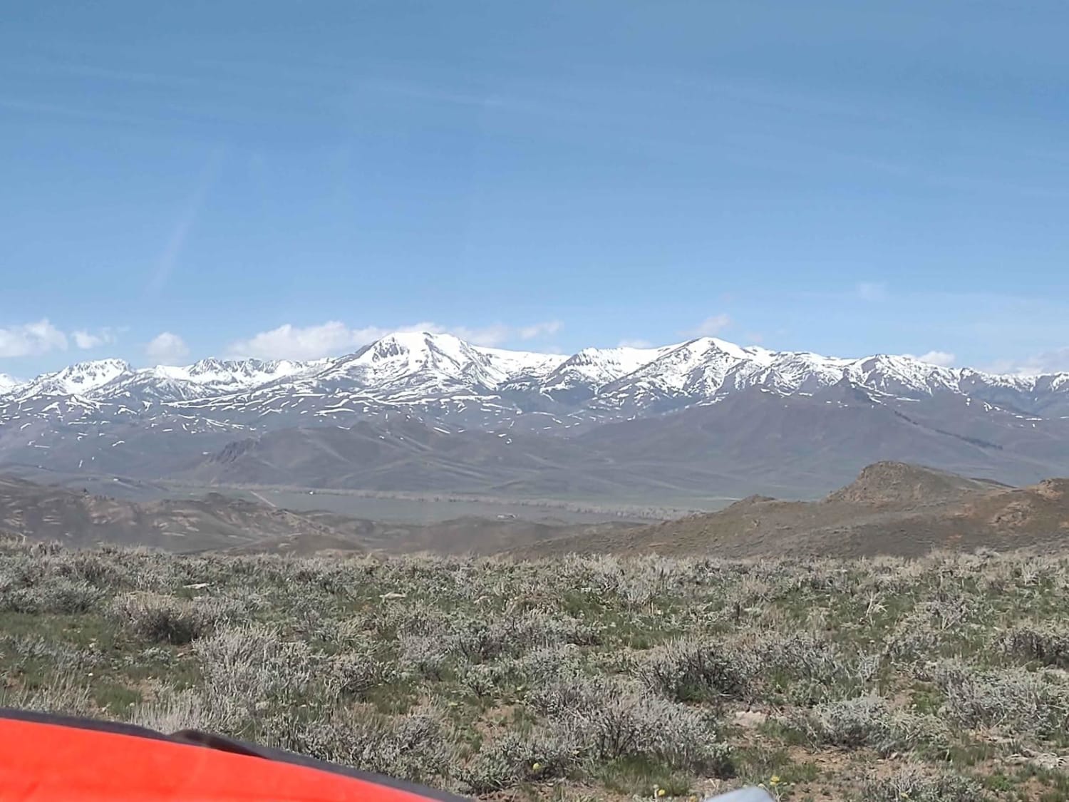
West of Arco, Idaho, Hammond Canyon Road takes you onto BLM lands around Appendicitis Hill. This 4-mile trail connects to Appendicitis Hill Spurs #1 - #6, and it generally follows Hammond Canyon Road into the Appendicitis Hill Wilderness Study Area. The wildlife in this area includes deer and elk. The area is steep and rugged, so hiking and backpacking are challenging. The views from the high ridges and peaks are spectacular.
Photos of Hammond Canyon To Appendicitis Hill
Difficulty
This trail is easy, unless it's rained recently or the spring runoff is afoot. Then the trail will be muddy.
History
Appendicitis Hill got its name from a USGS surveyor, T.M. Bannon, who suffered an attack of appendicitis while surveying the peak. BLM manages roughly 22K acres in the Appendicitis Hill Wilderness Study Area. This area also includes Crawford Peak, at 8500 feet, overlooking Antelope Valley.
Status Reports
Hammond Canyon To Appendicitis Hill can be accessed by the following ride types:
- High-Clearance 4x4
- SxS (60")
- ATV (50")
- Dirt Bike
Hammond Canyon To Appendicitis Hill Map
Popular Trails

Deadwood Creek

Dry Gulch Bypass OHV
Church Hollow Trail
Hammond Canyon to Spur 7
The onX Offroad Difference
onX Offroad combines trail photos, descriptions, difficulty ratings, width restrictions, seasonality, and more in a user-friendly interface. Available on all devices, with offline access and full compatibility with CarPlay and Android Auto. Discover what you’re missing today!