Fish Butte Saddle
Total Miles
3.2
Technical Rating
Best Time
Fall, Summer
Trail Type
50" Trail
Accessible By
Trail Overview
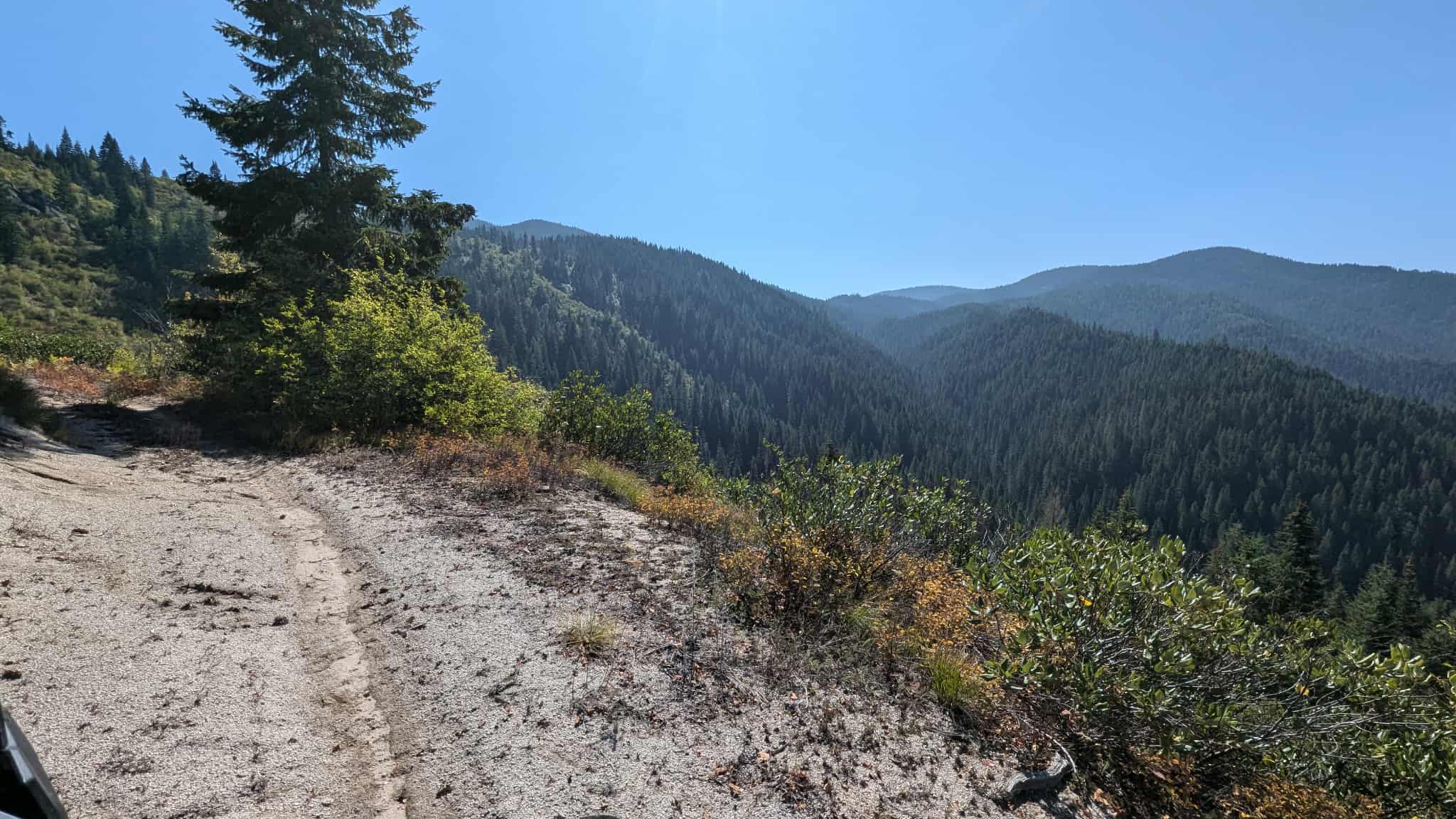
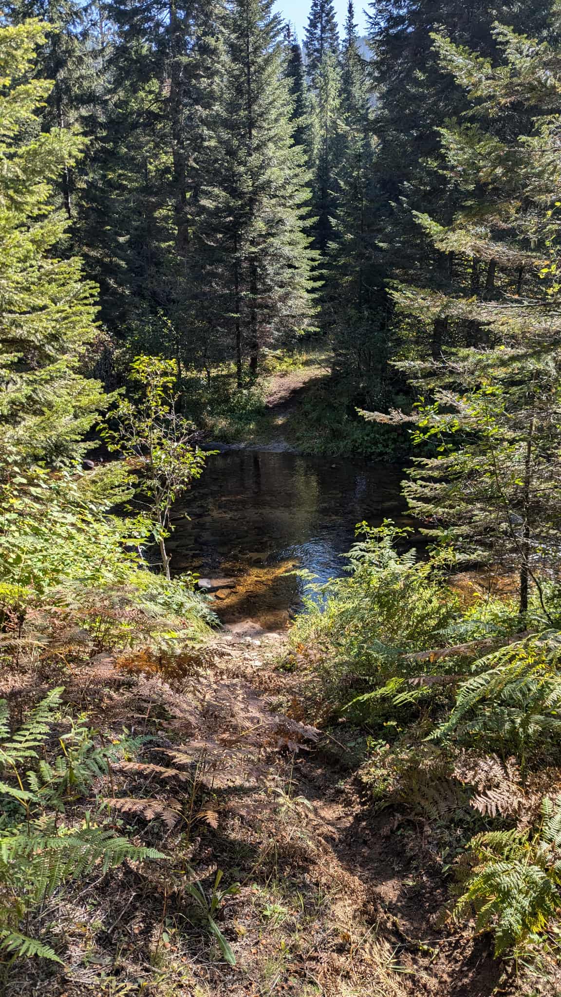
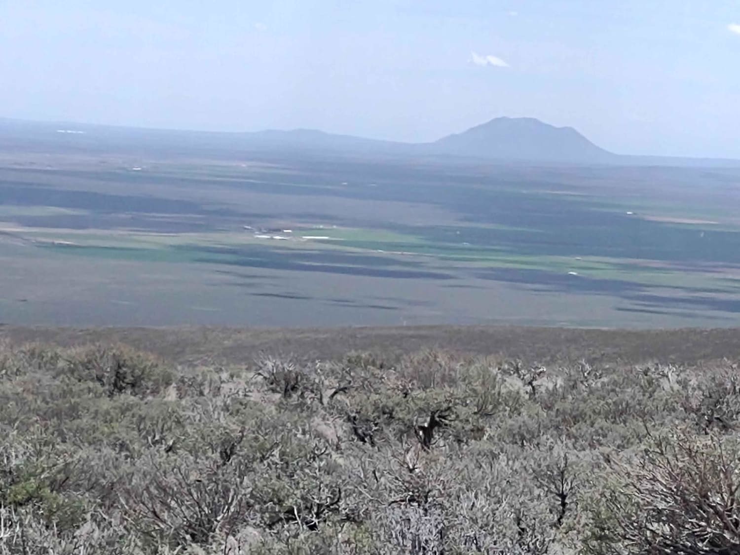
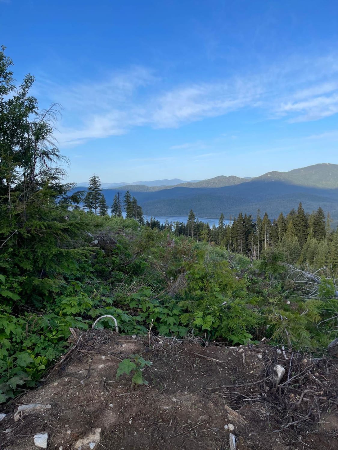
Turn off of Fish Creek trail at and cross Fish Creek to reach the Fish Buttle Saddle ATV trail at the following coordinates: 46.34508, -115.42648. This trail climbs 3.4 miles up to Middle Butte Road. The ATV trail is beautiful and follows an ATV trail deep in the forest. Continue up Middle Butte road to the top of Fish Butte. Included are photos of the Fish Creek crossing and views from the top of Fish Butte. I used Fish Butte Saddle ATV trail to connect Fish Creek trail to Fish Butte trail for an excellent loop.
Photos of Fish Butte Saddle
Difficulty
This ATV trail is very mellow, though it is recommended that riders bring a saw to clear any deadfall along the way.
Status Reports
Fish Butte Saddle can be accessed by the following ride types:
- ATV (50")
- Dirt Bike
Fish Butte Saddle Map
Popular Trails
Appendicitis Hill WSA Spur #7
Lucky Creek Road

Montini Cabin Homestead Loop

Smitty's Upper
The onX Offroad Difference
onX Offroad combines trail photos, descriptions, difficulty ratings, width restrictions, seasonality, and more in a user-friendly interface. Available on all devices, with offline access and full compatibility with CarPlay and Android Auto. Discover what you’re missing today!