Camas Creek Trail
Total Miles
2.4
Technical Rating
Best Time
Summer, Fall
Trail Type
50" Trail
Accessible By
Trail Overview
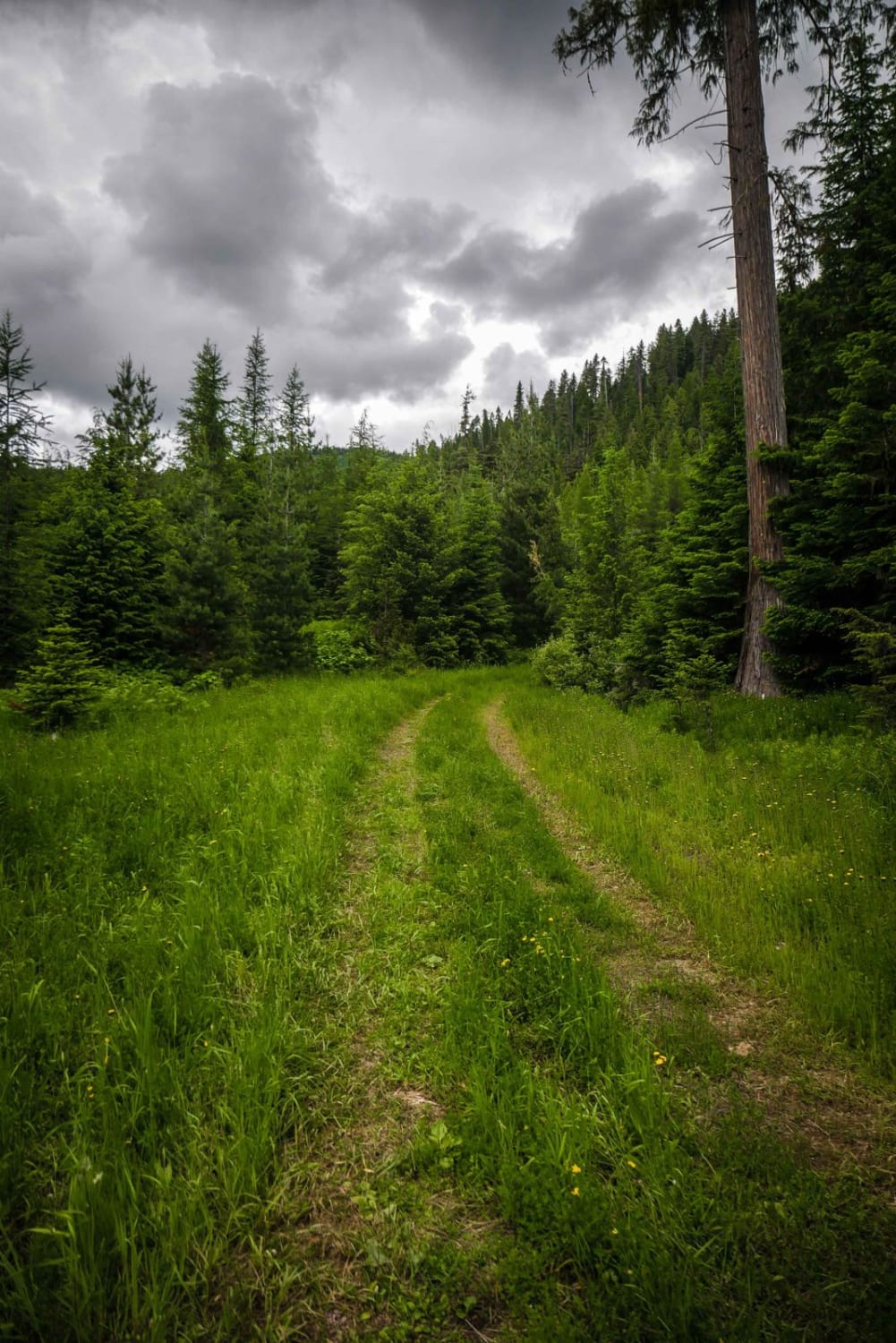
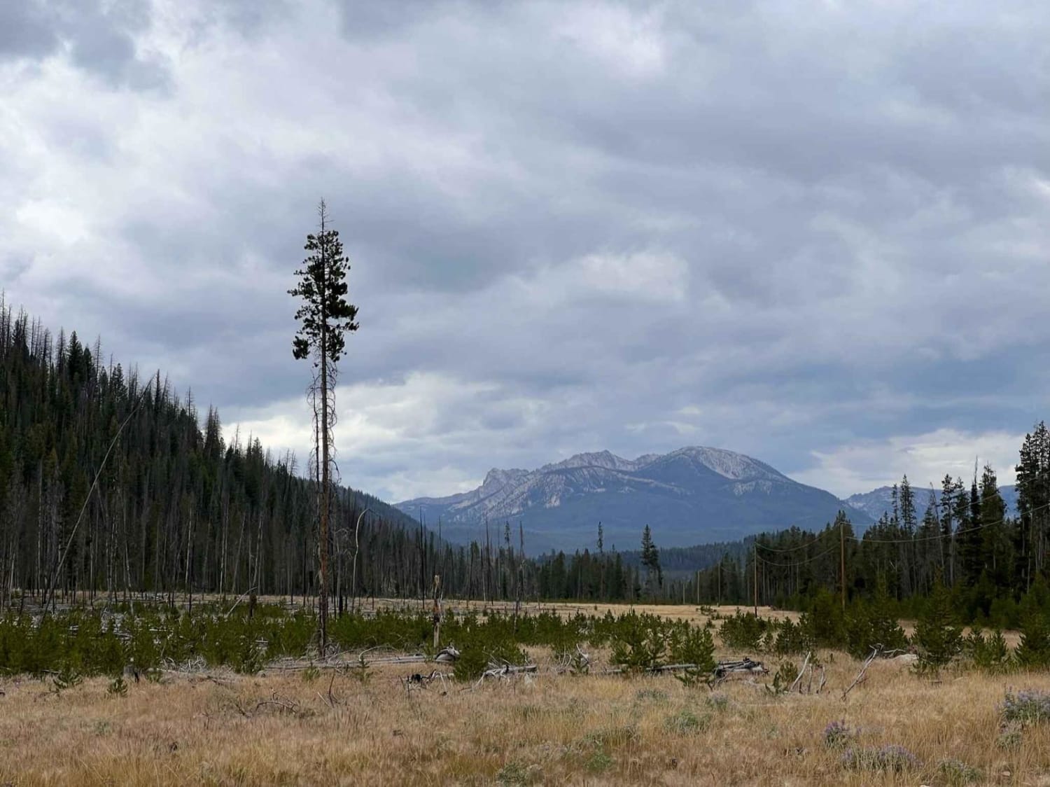
This trail takes off from the end of the Camas Creek Road and steadily climbs to the Continental Divide at an elevation of 8,167 feet. The lower portion of the road winds its way through dense forest; the middle portion of the road passes through thinner stands of trees alternating with subalpine meadows, and the upper portion of the road finds its way through open grasslands. At the end of this trail, there is a very steep climb to the Continental Divide with some large rocks to bump over at the top of the grade.
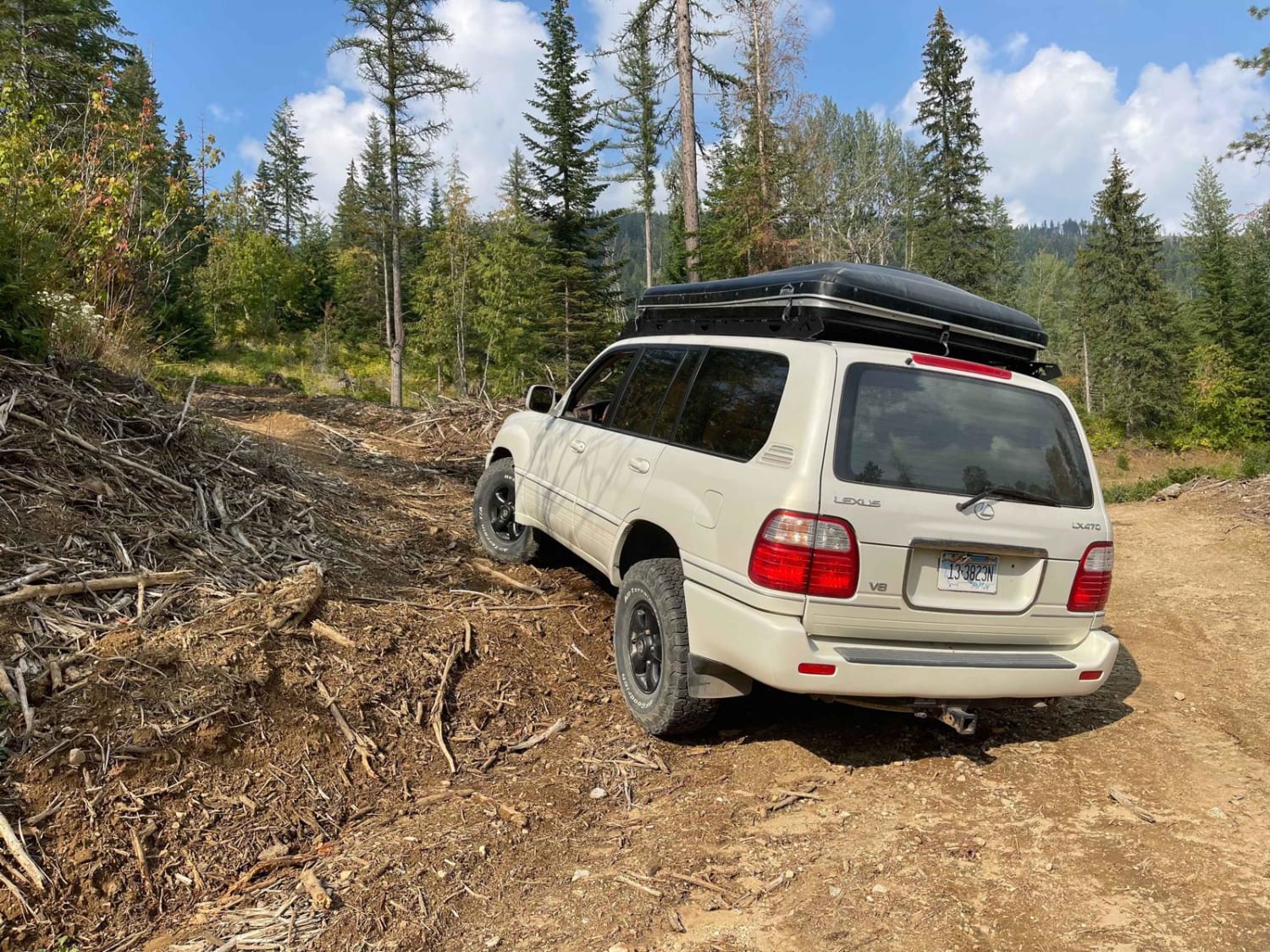
Photos of Camas Creek Trail


Difficulty
With the exception of the steep final grade, this trail is a pleasant easy ride.
Status Reports
Camas Creek Trail can be accessed by the following ride types:
- ATV (50")
- Dirt Bike
Camas Creek Trail Map
Popular Trails

West Fork of Kelly Creek (Trail 7038)
Panhandle Overland Rally Official Offroad Course
Lower Dennis OHV - 3594
Valley Spur A
The onX Offroad Difference
onX Offroad combines trail photos, descriptions, difficulty ratings, width restrictions, seasonality, and more in a user-friendly interface. Available on all devices, with offline access and full compatibility with CarPlay and Android Auto. Discover what you’re missing today!