Butcher Knife
Total Miles
5.0
Technical Rating
Best Time
Spring, Fall, Summer
Trail Type
Single Track
Accessible By
Trail Overview
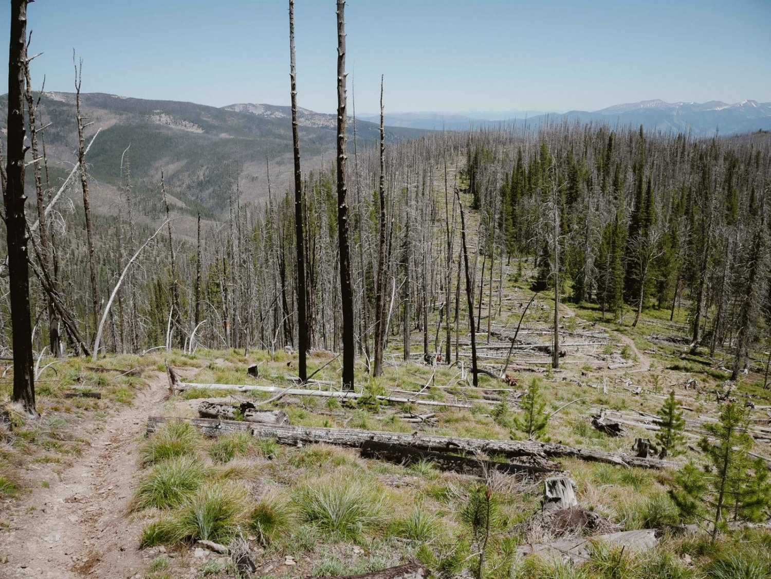
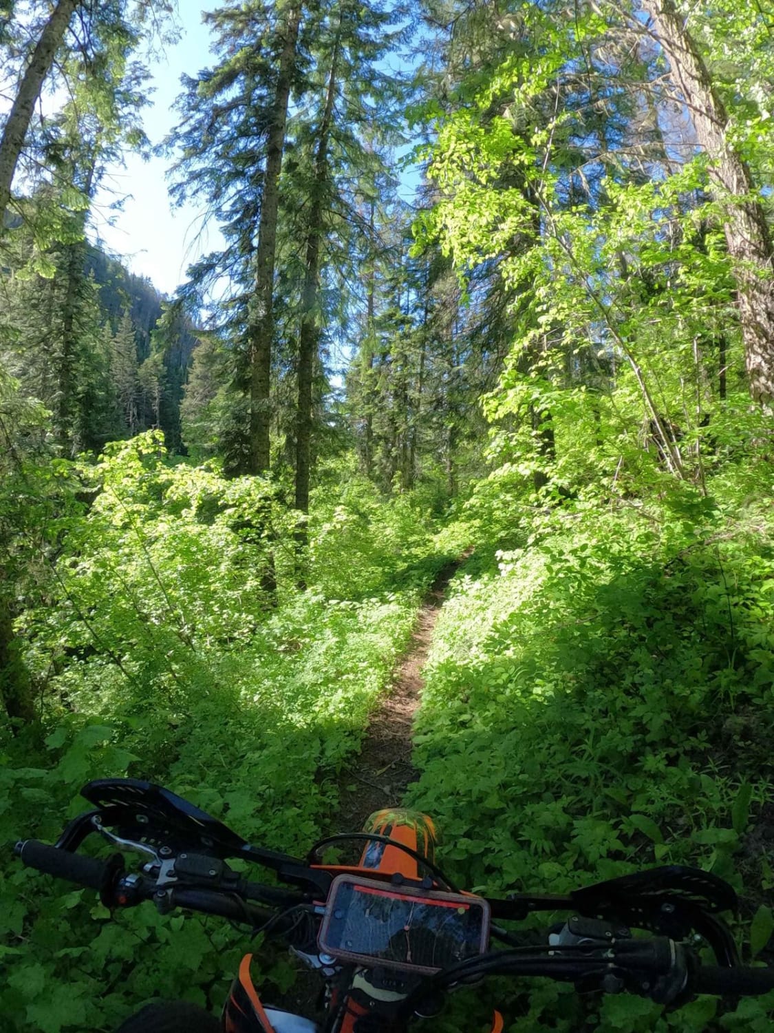
This 5-mile-long single track starts on the north end at the intersection with the Divide NRT single track, at the edge of a burn area from the 2012 Mustang Fire. It drops down from Divide NRT, meandering along a mountaintop ridgeline, through fast and flowy sections of grassy meadows. There are a few little rocks in the trail, but it's pretty smooth and easy. It gradually loses 1,000 feet of elevation over 5 miles as it heads south, so it feels pretty flat along the mountain spine. Since this trail goes along an old fire break, there's potential for tons of downed logs that need to be cut each season.
Photos of Butcher Knife
Difficulty
This trail is pretty consistently easy, with some narrow and shelfy sections but no specific obstacles.
Status Reports
Butcher Knife can be accessed by the following ride types:
- Dirt Bike
Butcher Knife Map
Popular Trails
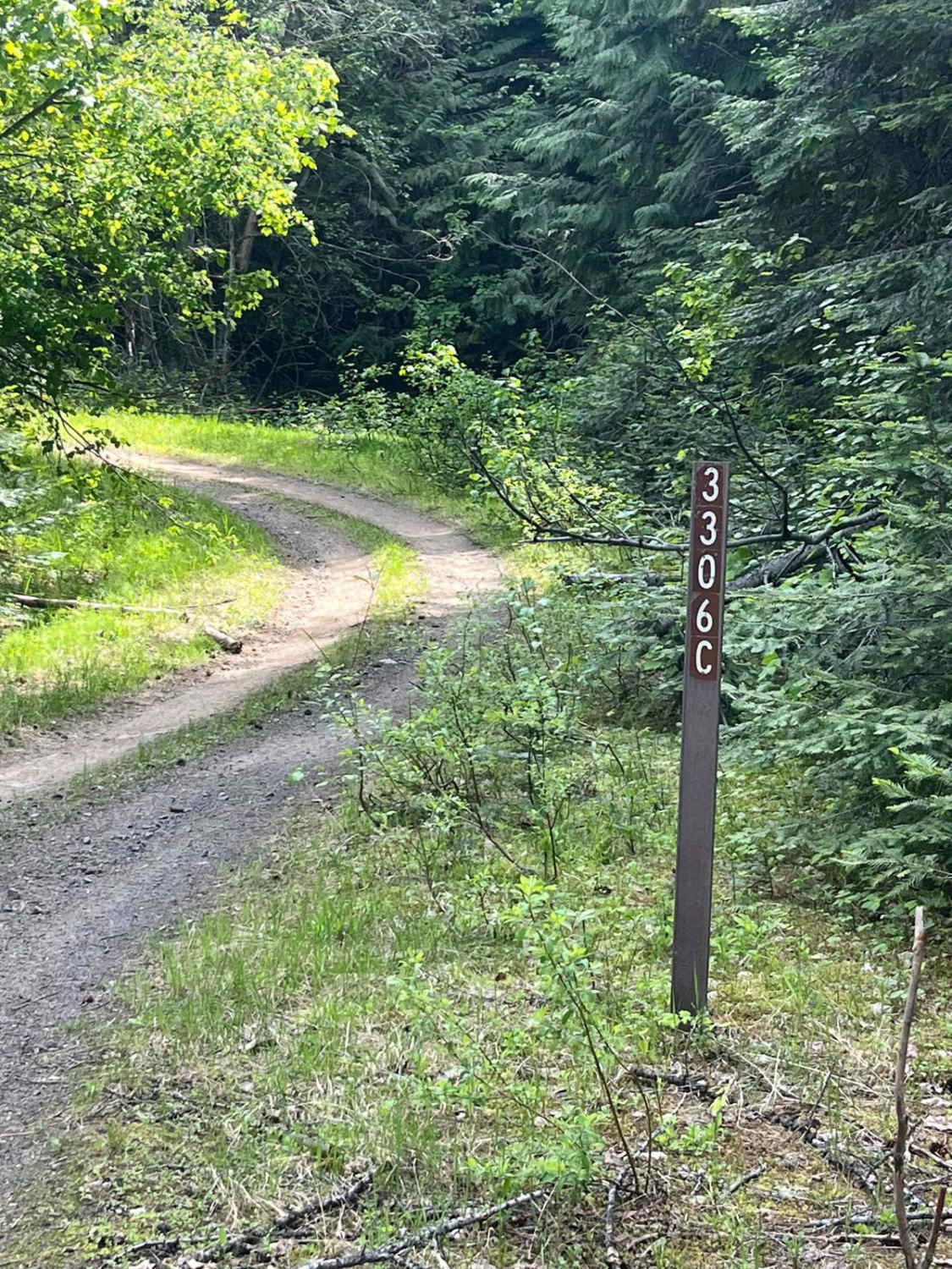
Forest Service Road 3306C
Box Canyon Trailhead
The onX Offroad Difference
onX Offroad combines trail photos, descriptions, difficulty ratings, width restrictions, seasonality, and more in a user-friendly interface. Available on all devices, with offline access and full compatibility with CarPlay and Android Auto. Discover what you’re missing today!

