Burnt Knob
Total Miles
1.6
Technical Rating
Best Time
Summer
Trail Type
Full-Width Road
Accessible By
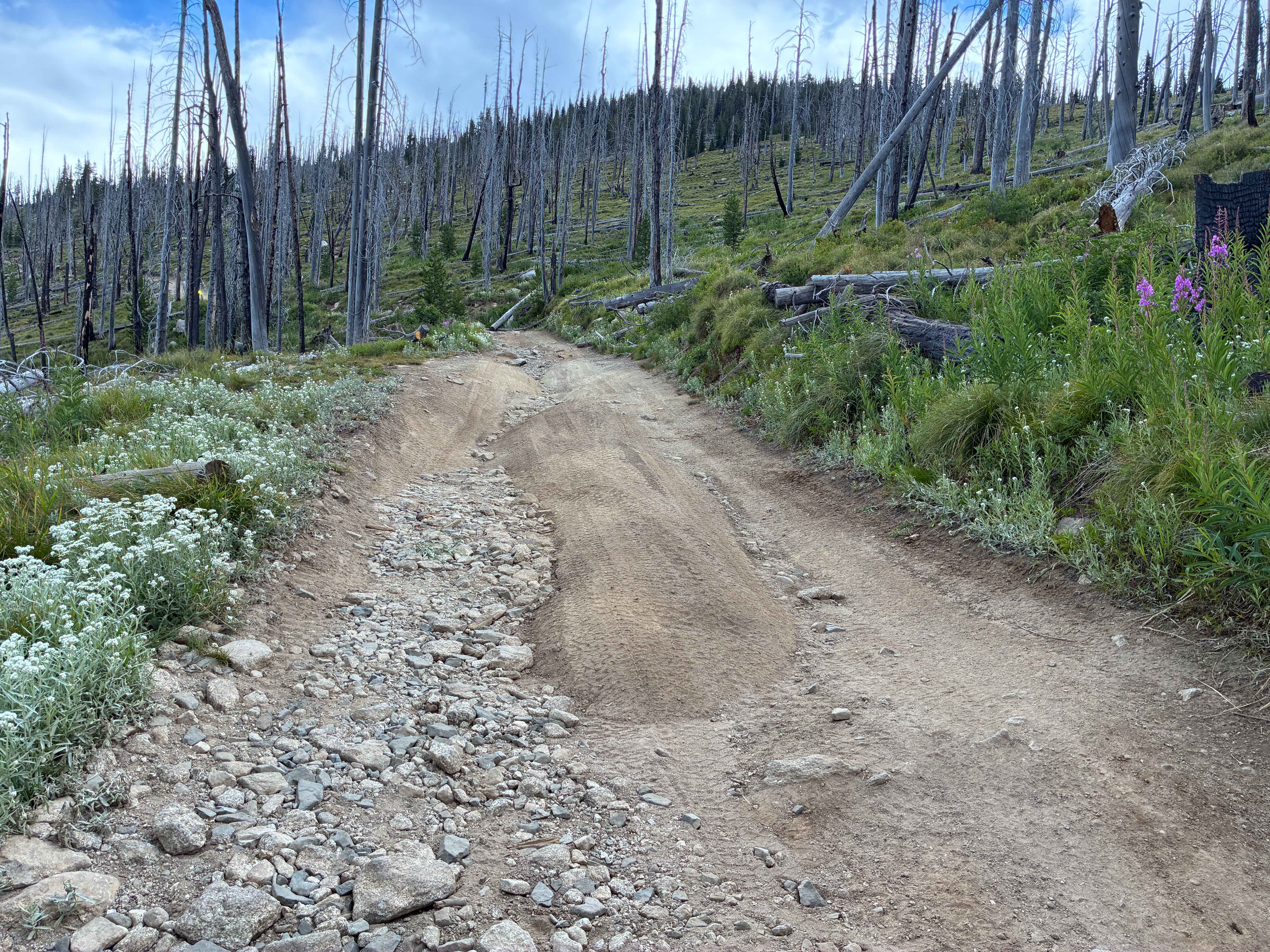
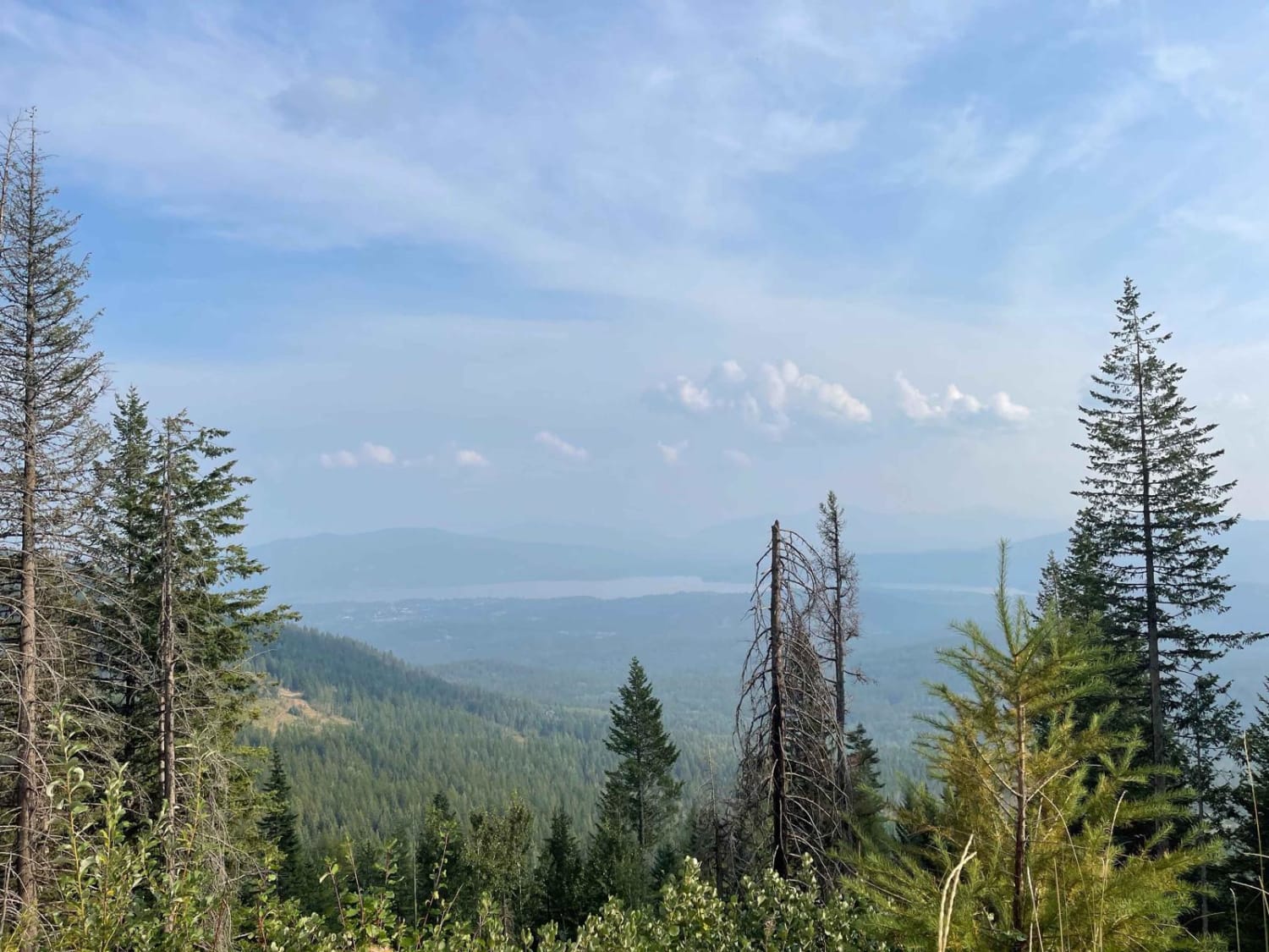
Trail Overview
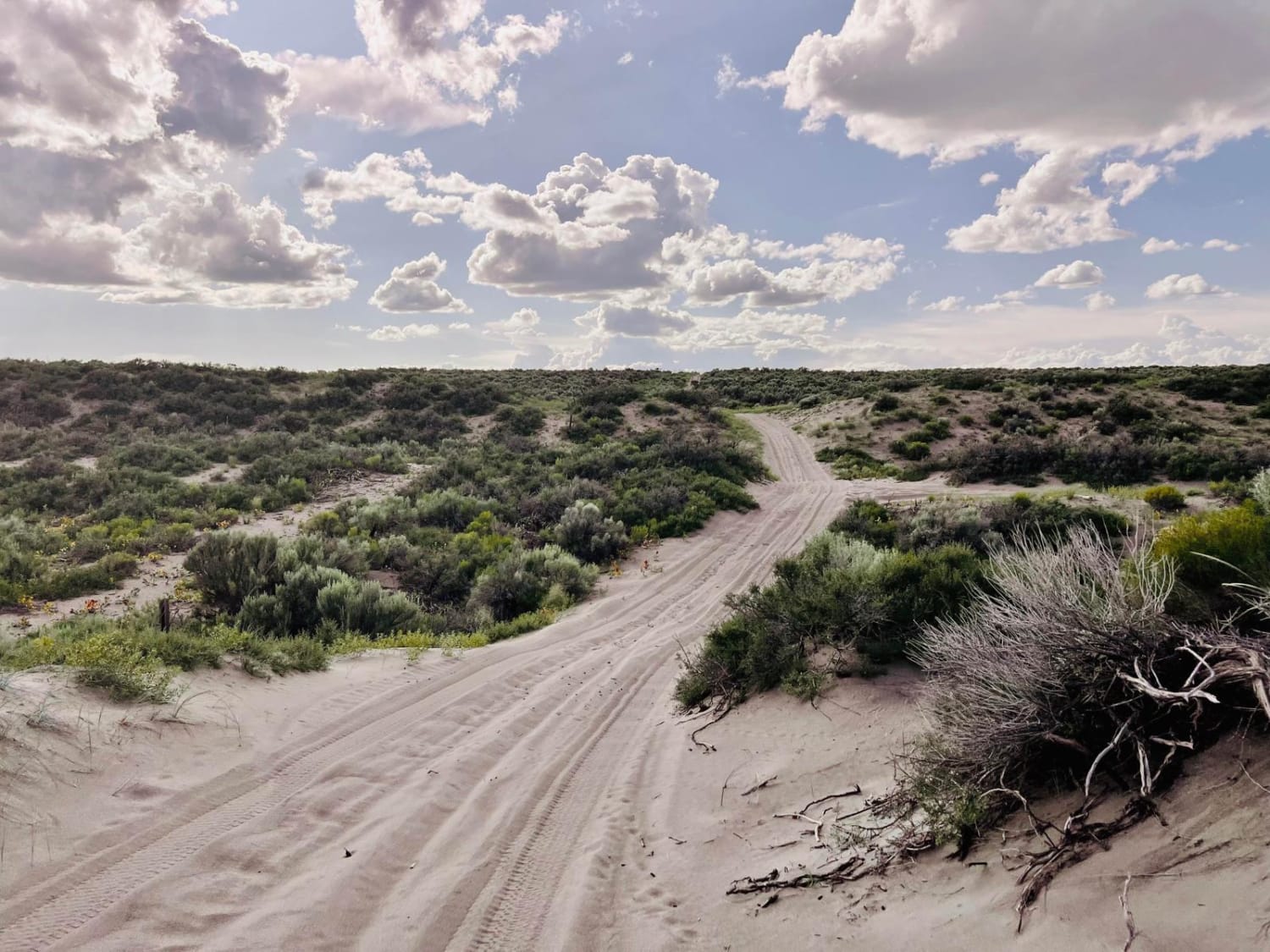
This trail is a 1.6-mile steep trek to the top of Burnt Knob off the Magruder Corridor. The trail is narrow, with very minimal opportunities to pass other traffic. If you can make it up, it is well worth the short detour. The trail starts off sandy with loose rock and gets progressively harder as it goes, with more and more rock obstacles. Near the top are larger rocks to climb over, where wheel placement will be important depending on your available ground clearance. Once you start, there is no option to turn around until you reach the top.
Photos of Burnt Knob

Difficulty
Slow and steady wins the race! There are rock faces, obstacles up to 18 inches, and sections of washout. This trail is slightly harder in the rain due to the slickness of the rocks, and would be very difficult with snowfall.
History
Burnt Knob was first just an alidade back in 1922. In 1930, the current log cabin was built atop this granite ridge overlooking McArthur, Stillman, and Burnt Knob lakes. In 1964, the lookout was put on emergency status.
Burnt Knob can be accessed by the following ride types:
- High-Clearance 4x4
- SUV
- SxS (60")
- ATV (50")
- Dirt Bike
Burnt Knob Map
Popular Trails
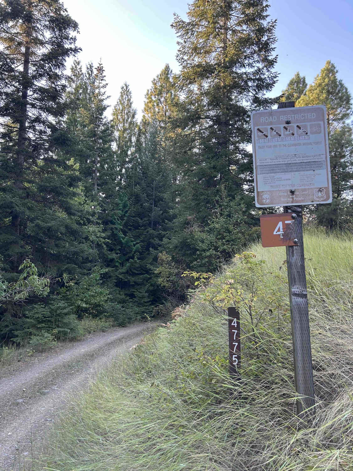
Carrico Mine - FS 4775
Panhandle Overland Rally Scenic Loop
St. Anthony Sand Dunes Western Access
The onX Offroad Difference
onX Offroad combines trail photos, descriptions, difficulty ratings, width restrictions, seasonality, and more in a user-friendly interface. Available on all devices, with offline access and full compatibility with CarPlay and Android Auto. Discover what you’re missing today!