Burchertt Spring #5236
Total Miles
2.3
Technical Rating
Best Time
Summer, Fall
Trail Type
50" Trail
Accessible By
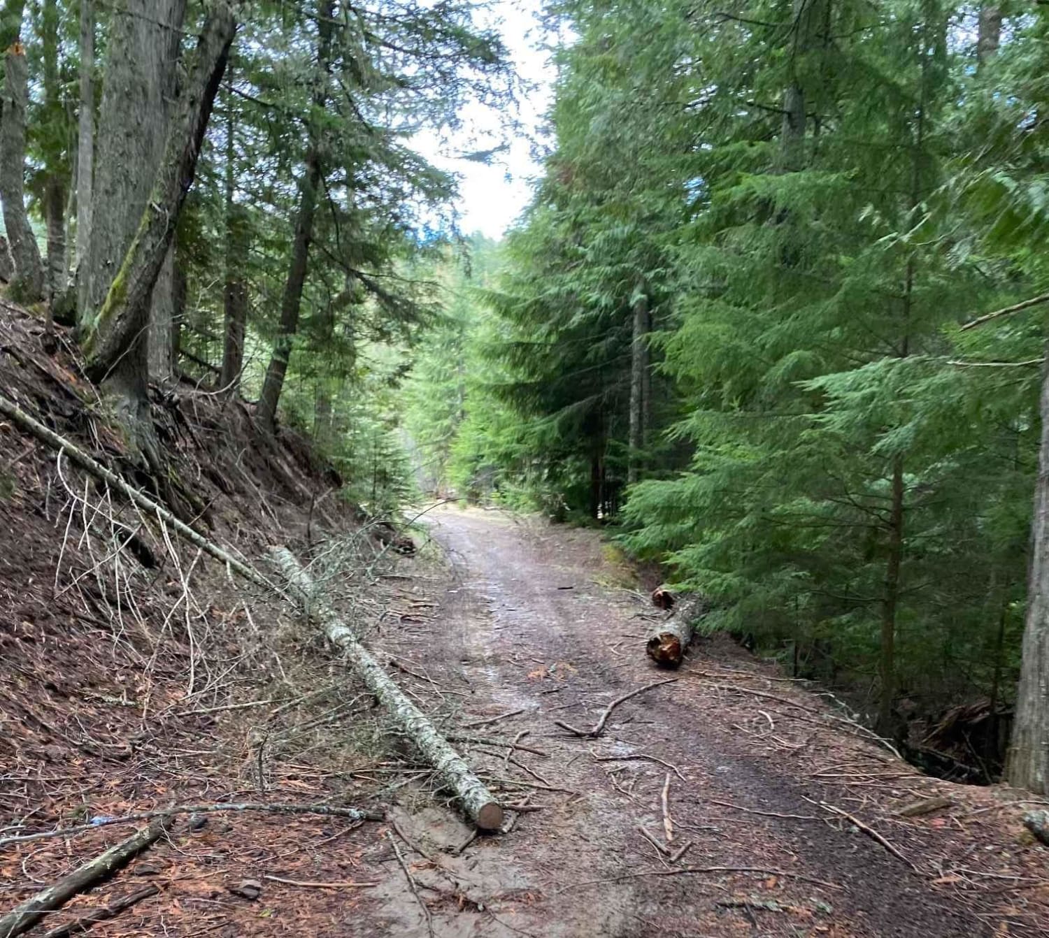
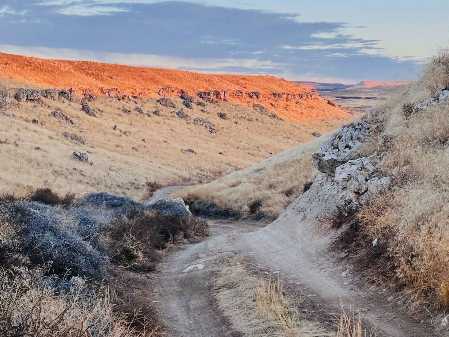
Trail Overview
Burchertt Spring #5236 is an intermediate 2.4-mile ATV trail through the Caribou National Forest, mostly descending from south to north, as it passes through a mix of aspen groves, pine forest, and wide open hillsides. The trail begins at the south end off Big Basin Ridge Road #51251 and intersects with South Sulphur Road #50177 after 0.5 miles, offering an easy connection to trail #5237. From there, it continues into a forested descent with tighter turns and more pronounced rain ruts. Bigger root bands create small drop-offs, and scattered embedded rocks add to the technical feel. The trail remains scenic throughout, with views across the surrounding mountain landscape.
Photos of Burchertt Spring #5236


Difficulty
This is an intermediate trail due to its descending grade combined with roots, rain ruts, and embedded rock. While not overly challenging, the combination of these features adds moderate difficulty.
Status Reports
Burchertt Spring #5236 can be accessed by the following ride types:
- ATV (50")
- Dirt Bike
Burchertt Spring #5236 Map
Popular Trails

Cedar Mountain 389
IWS Camp Trail

Anderson Mountain Trail
The onX Offroad Difference
onX Offroad combines trail photos, descriptions, difficulty ratings, width restrictions, seasonality, and more in a user-friendly interface. Available on all devices, with offline access and full compatibility with CarPlay and Android Auto. Discover what you’re missing today!