Bugle Creek
Total Miles
19.1
Technical Rating
Best Time
Summer
Trail Type
Full-Width Road
Accessible By
Trail Overview
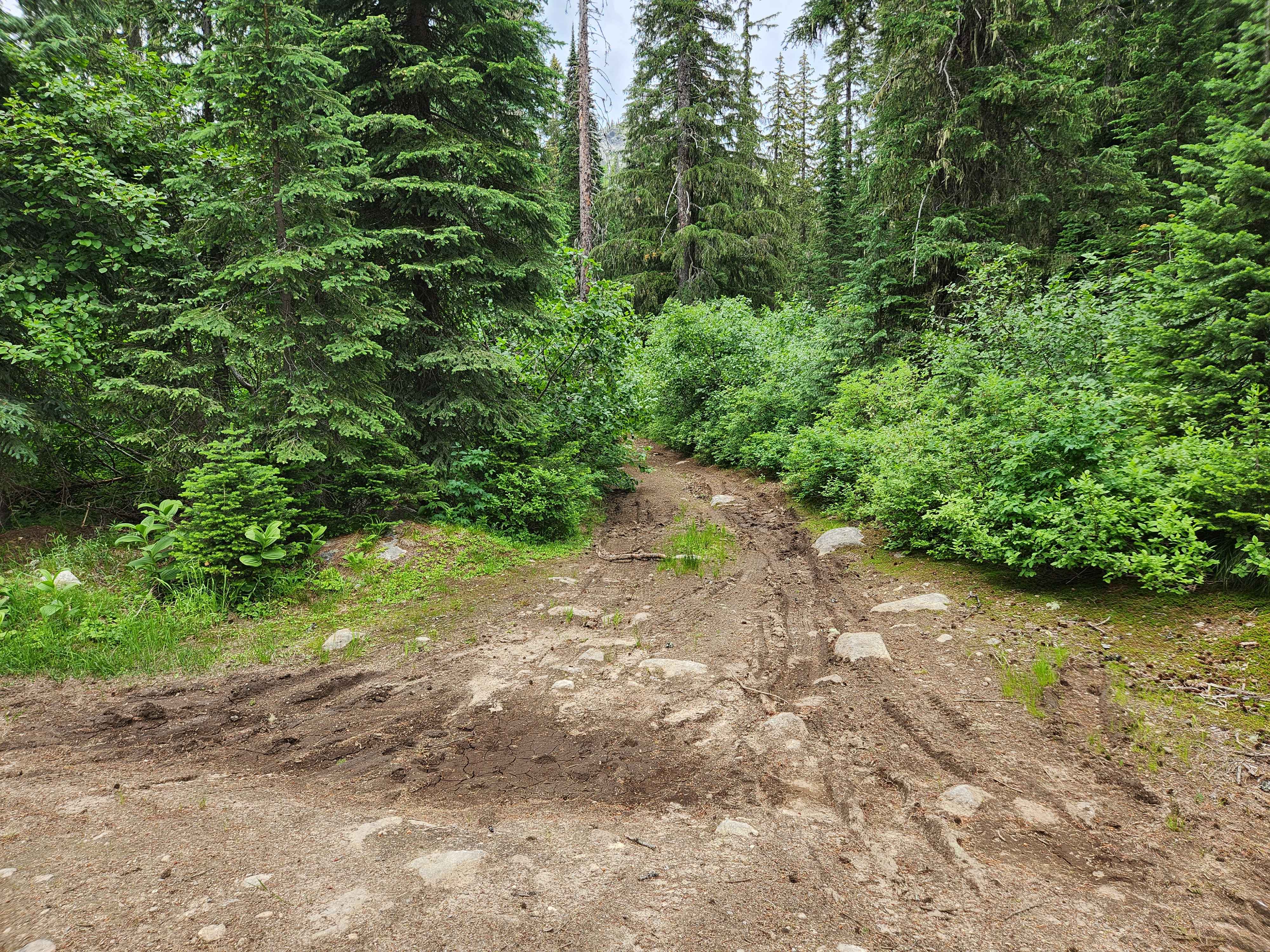
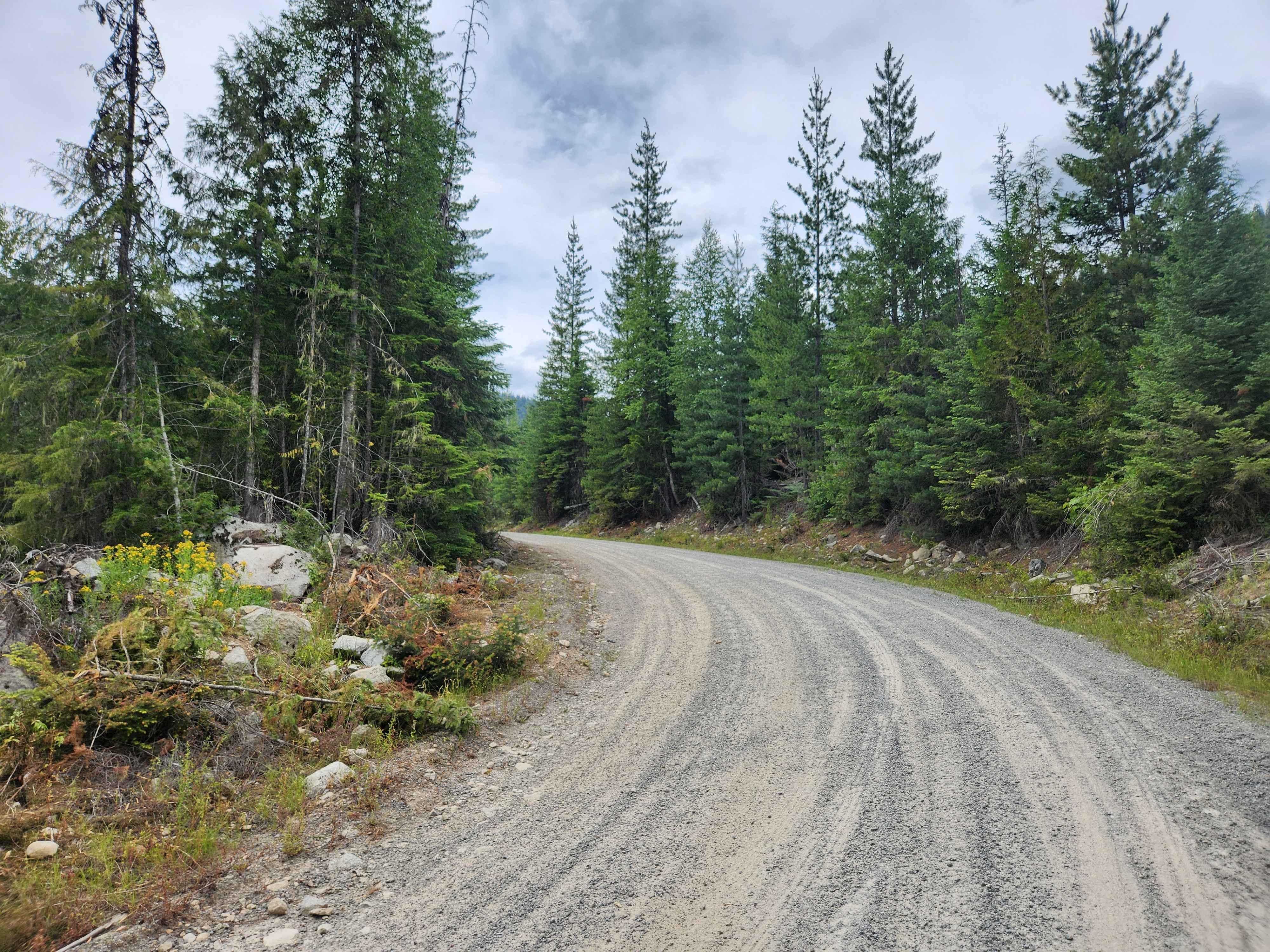
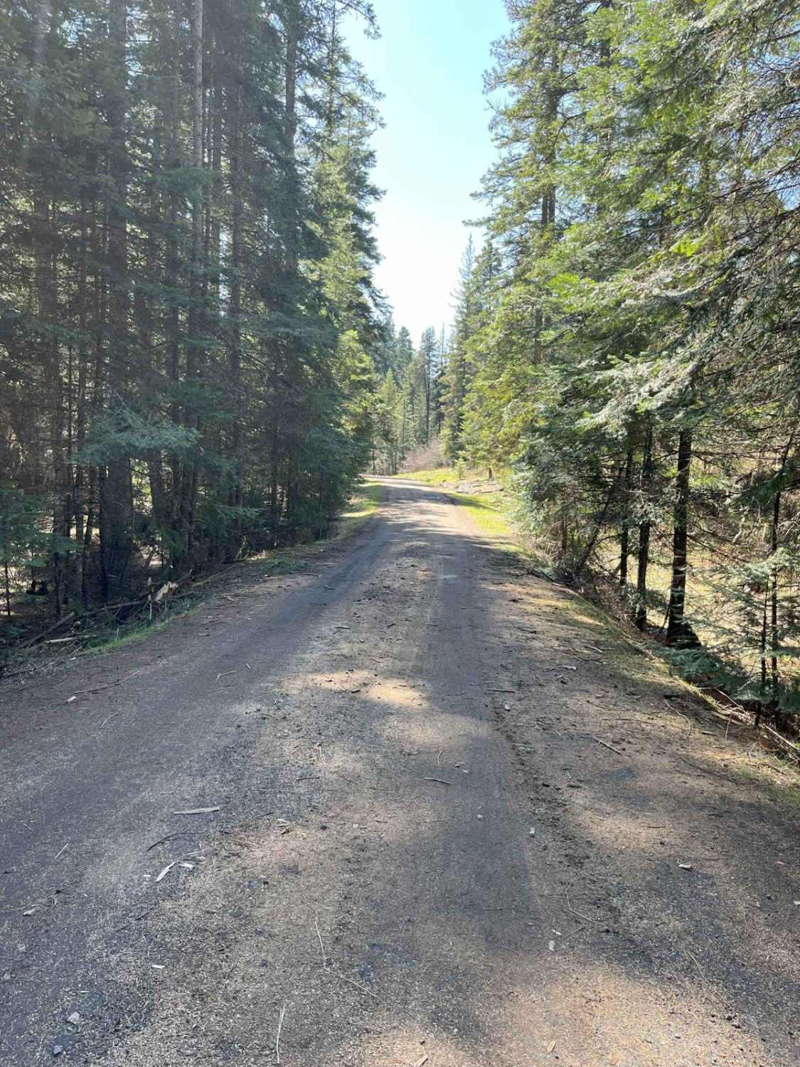
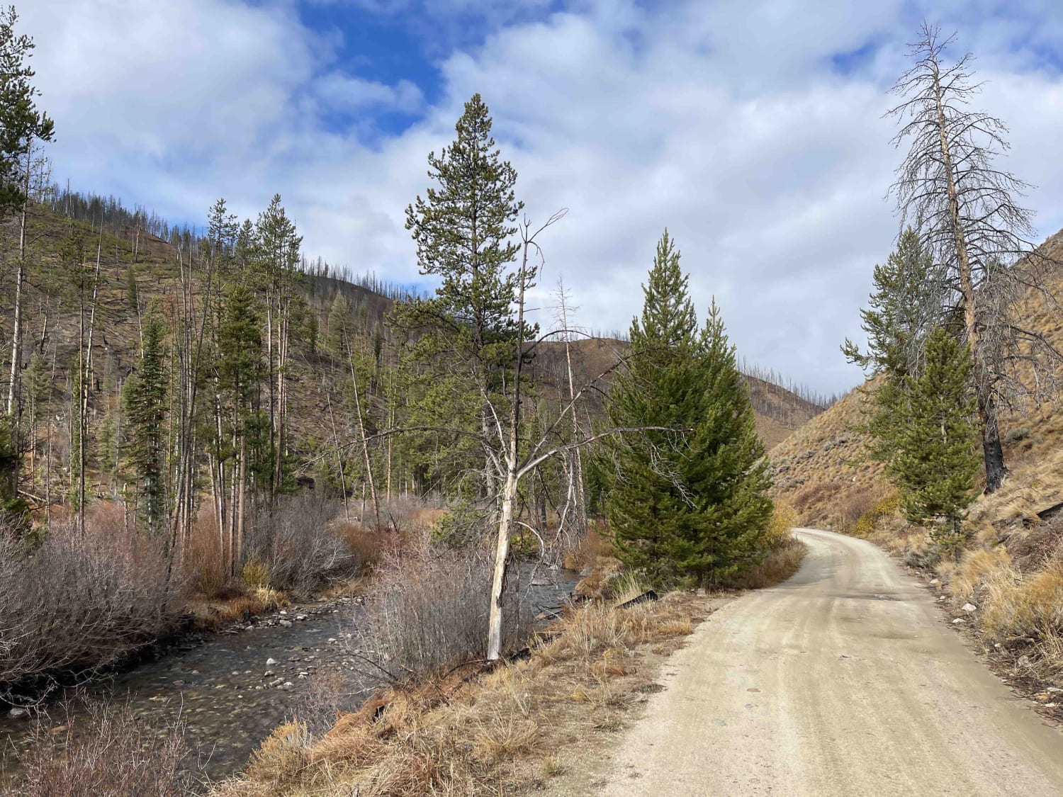
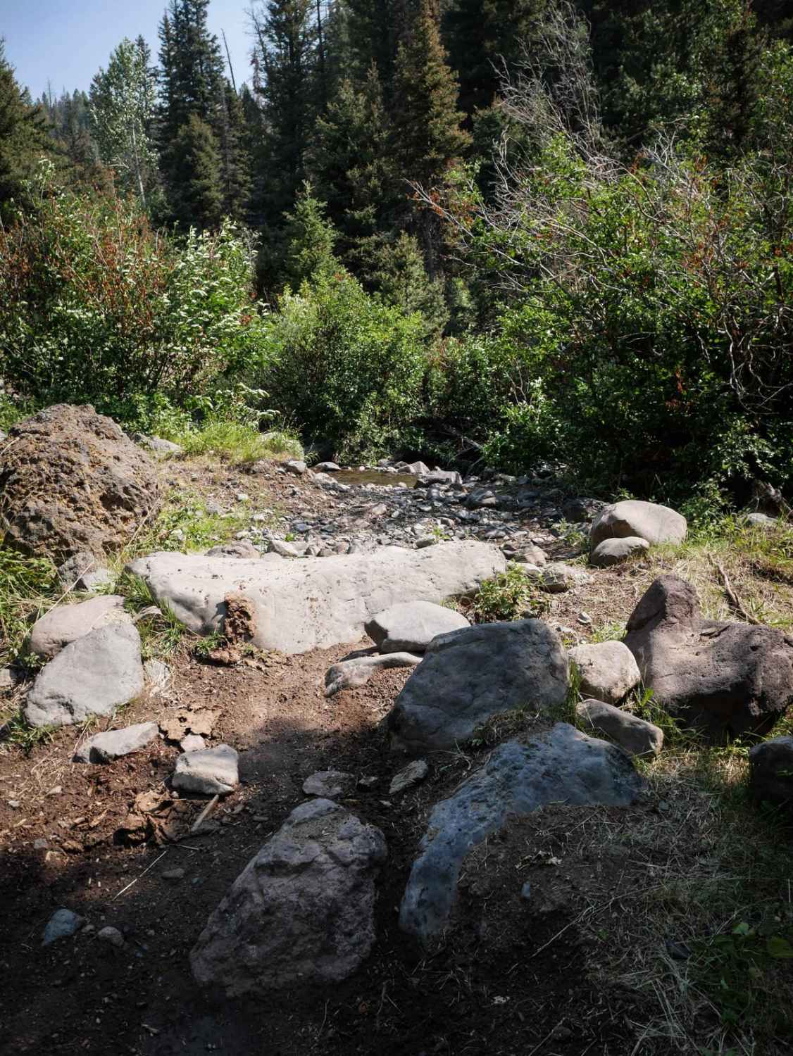
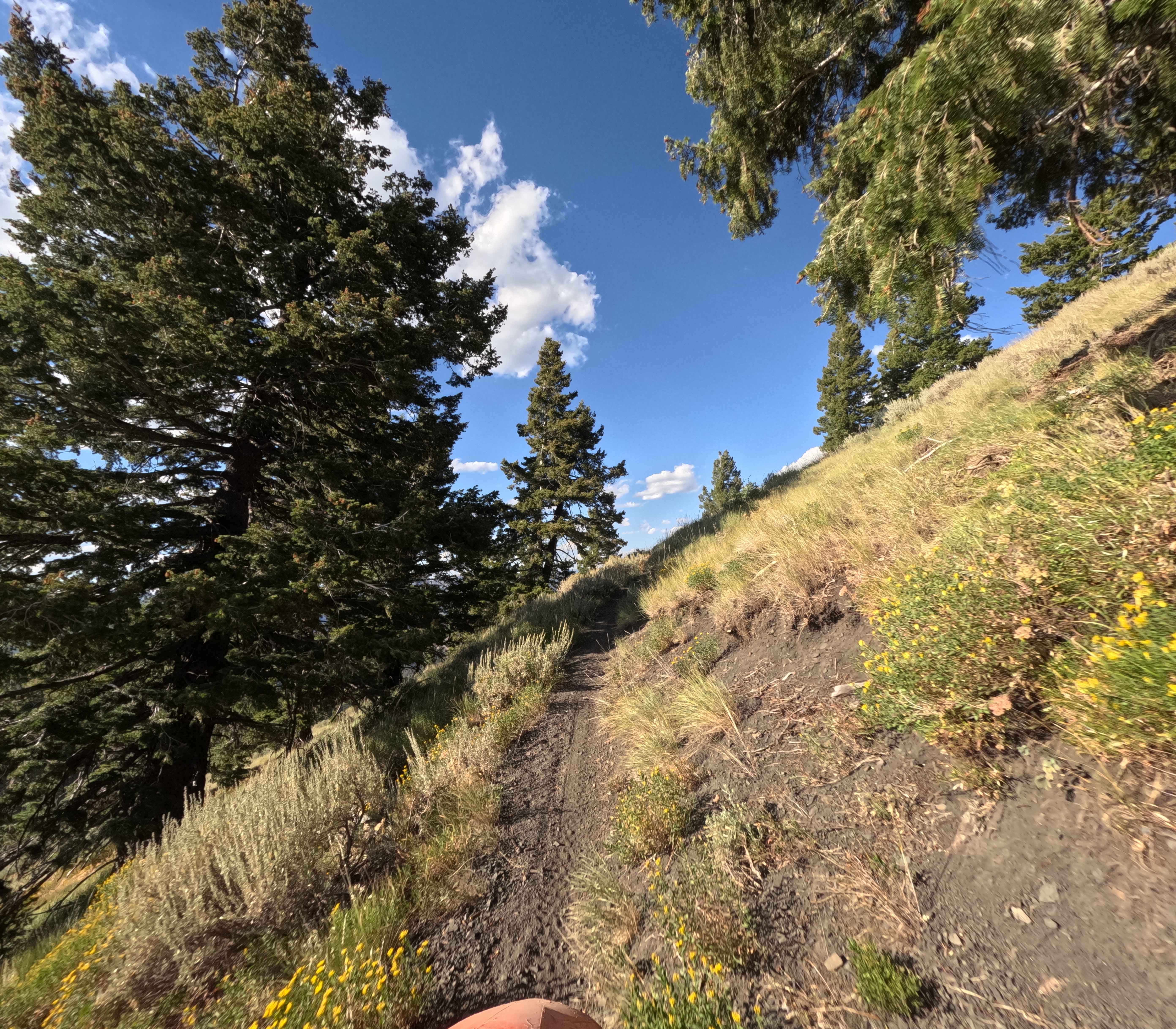
Bugle Creek (FS 655) ascends into the Kaniksu National Forest north of Priest Lake and forms part of a loop that encircles Upper Priest Lake in the farthest northwest corner of the Idaho Panhandle. The route is well defined but can vary from wide with room for two vehicles to pass, to a narrow shelf road with mild ledges to climb. Early in the route, at 9.1 miles, the main roadbed veers hard left to terminate in the forest at logging operations, while the route around the lake takes a right on a narrow, steeper track. At 15.4 miles, there is an open warming hut for snowmobilers and those seeking shelter from the elements. Bugle Creek terminates at a T-junction of Upper Priest River Road (FS 1013). There are Deer, Elk, Mountain Lion, and Bear in the vicinity. Occasionally, there are dispersed campsites along the route, but no vault toilets or amenities. Cell service is spotty or unavailable.
Photos of Bugle Creek
Difficulty
This trail is generally easy, but inclement weather may temporarily increase the difficulty and reduce traction.
Status Reports
Bugle Creek can be accessed by the following ride types:
- High-Clearance 4x4
- SUV
- SxS (60")
- ATV (50")
- Dirt Bike
Bugle Creek Map
Popular Trails
East Fork Big Bear Creek
Middle Fork-South Fork 2 - FS 7199
The onX Offroad Difference
onX Offroad combines trail photos, descriptions, difficulty ratings, width restrictions, seasonality, and more in a user-friendly interface. Available on all devices, with offline access and full compatibility with CarPlay and Android Auto. Discover what you’re missing today!