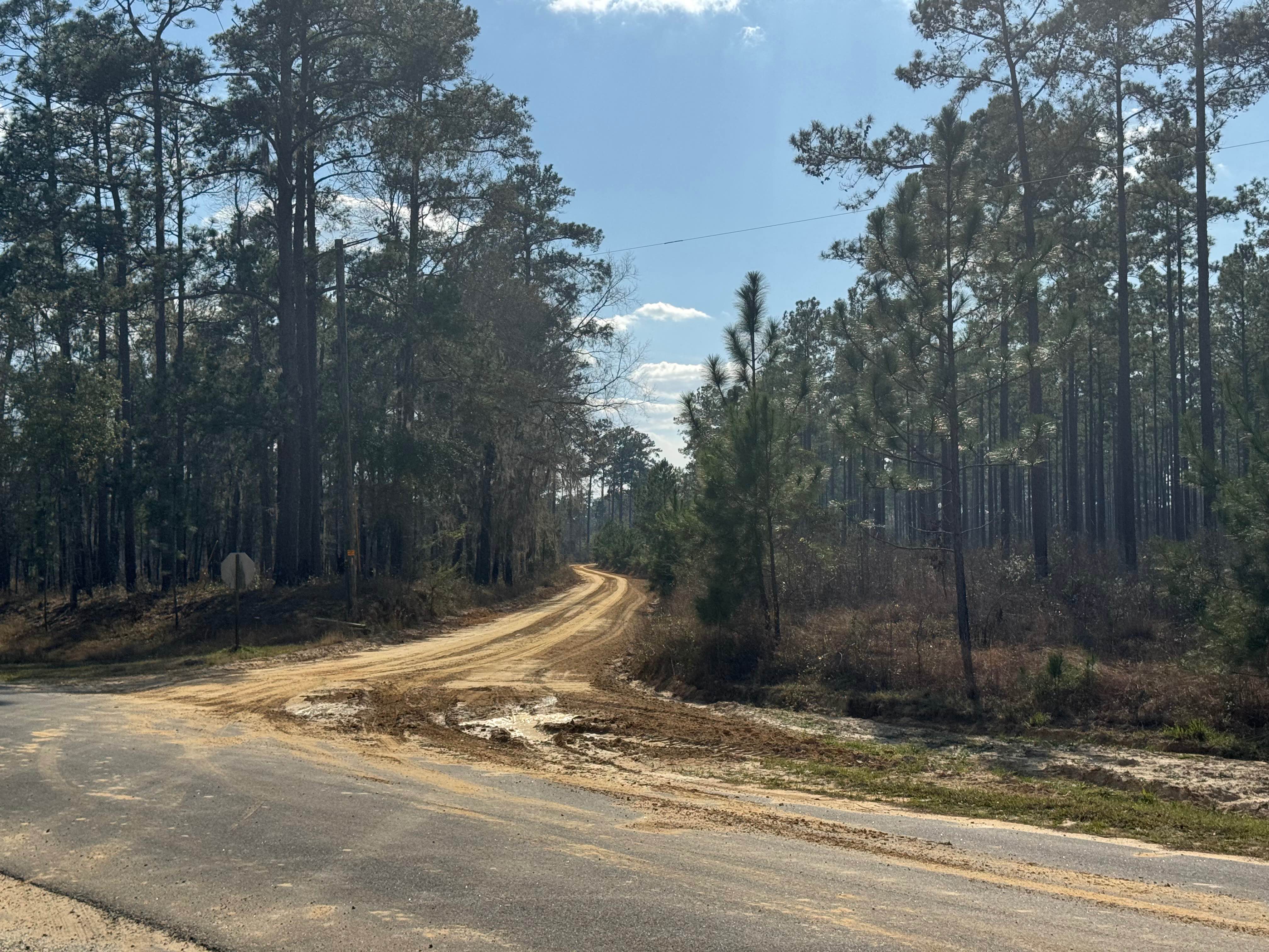
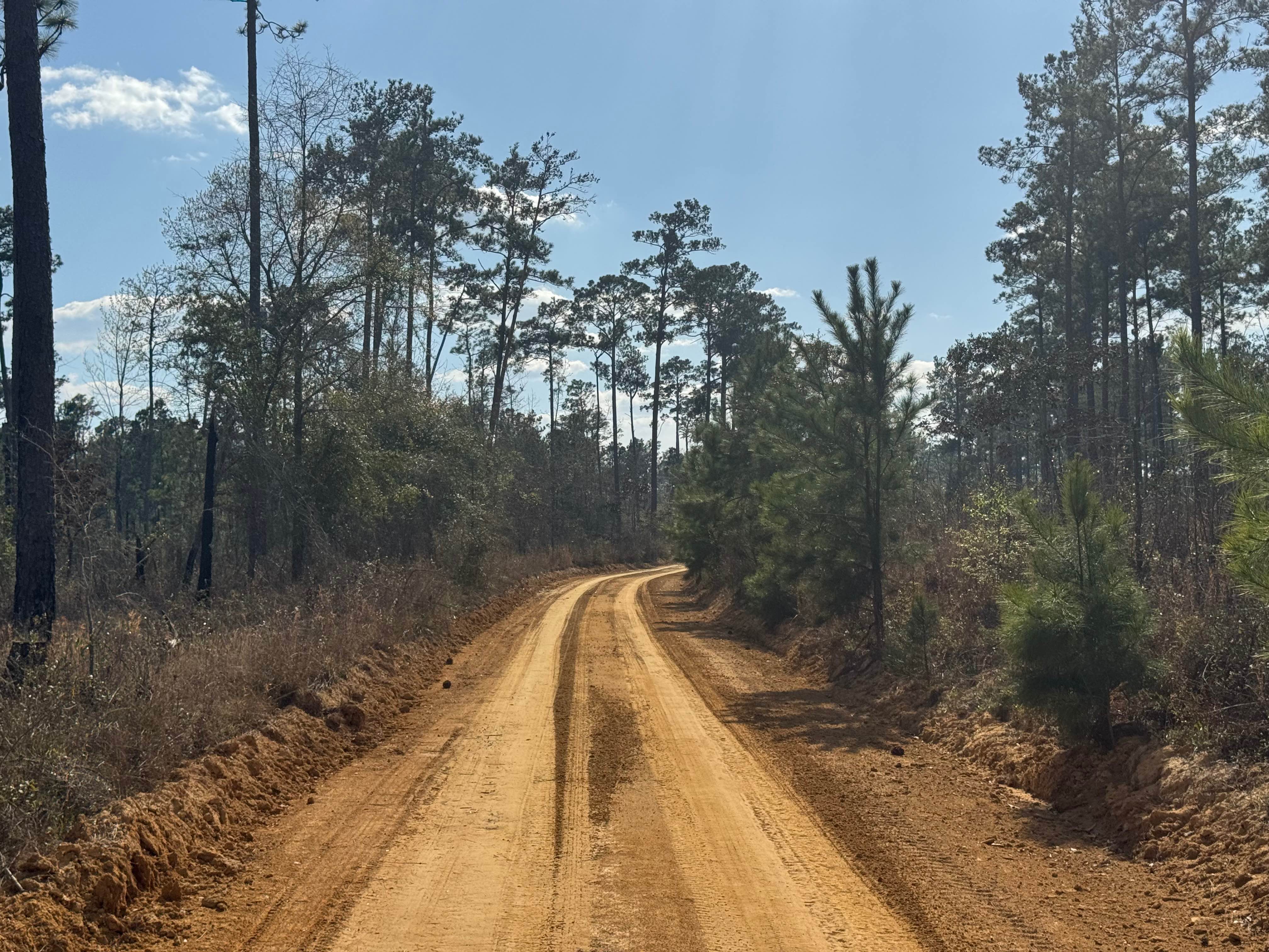
Ten Mile Still Road
Total Miles
1.7
Technical Rating
Best Time
Spring, Summer, Fall, Winter
Trail Type
Full-Width Road
Accessible By
Trail Overview
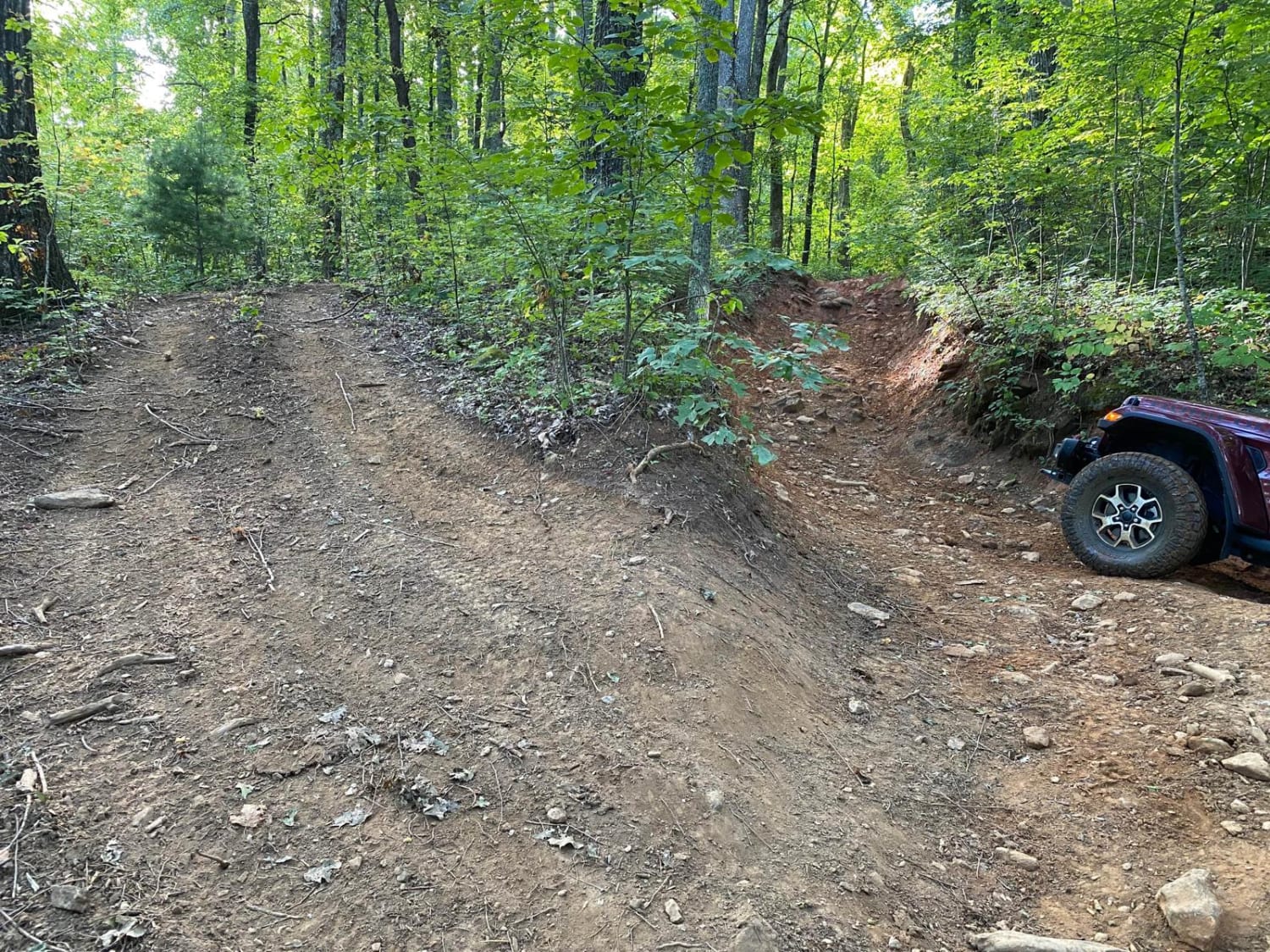
With a name like Ten Mile Still Road, you would think there was some interesting history to go along with the name. Unfortunately, an internet search came up empty. The fact that the distance from its intersection with Hwy 253 to the end at the Ten Mile Still boat ramp is right at ten miles might give a clue to the earlier activities at the end of the road. Ten Mile Still Road, as an offroad trail, begins where it crosses Yates Spring Road. The trail is packed with Georgia clay base with sand mixed in and is generally maintained by regular grading. It is two vehicles wide along its entire length, which makes for easy travel to the primitive boat ramp. There are several swampy areas along the trail and a few small lakes that provide habitat to a variety of local bird species. As with most Georgia WMAs, a valid hunting or fishing license is required to access the WMA property.
Photos of Ten Mile Still Road
Difficulty
This road is two vehicles wide and usually graded.
Status Reports
Ten Mile Still Road can be accessed by the following ride types:
- High-Clearance 4x4
- SUV
Ten Mile Still Road Map
Popular Trails
Hightower Loop Connector Trail D
Glenwood Springs Road

Old CCC Camp Road
Beasley Knob 93a
The onX Offroad Difference
onX Offroad combines trail photos, descriptions, difficulty ratings, width restrictions, seasonality, and more in a user-friendly interface. Available on all devices, with offline access and full compatibility with CarPlay and Android Auto. Discover what you’re missing today!