Clay Hill
Total Miles
3.0
Technical Rating
Best Time
Spring, Summer, Fall, Winter
Trail Type
Full-Width Road
Accessible By
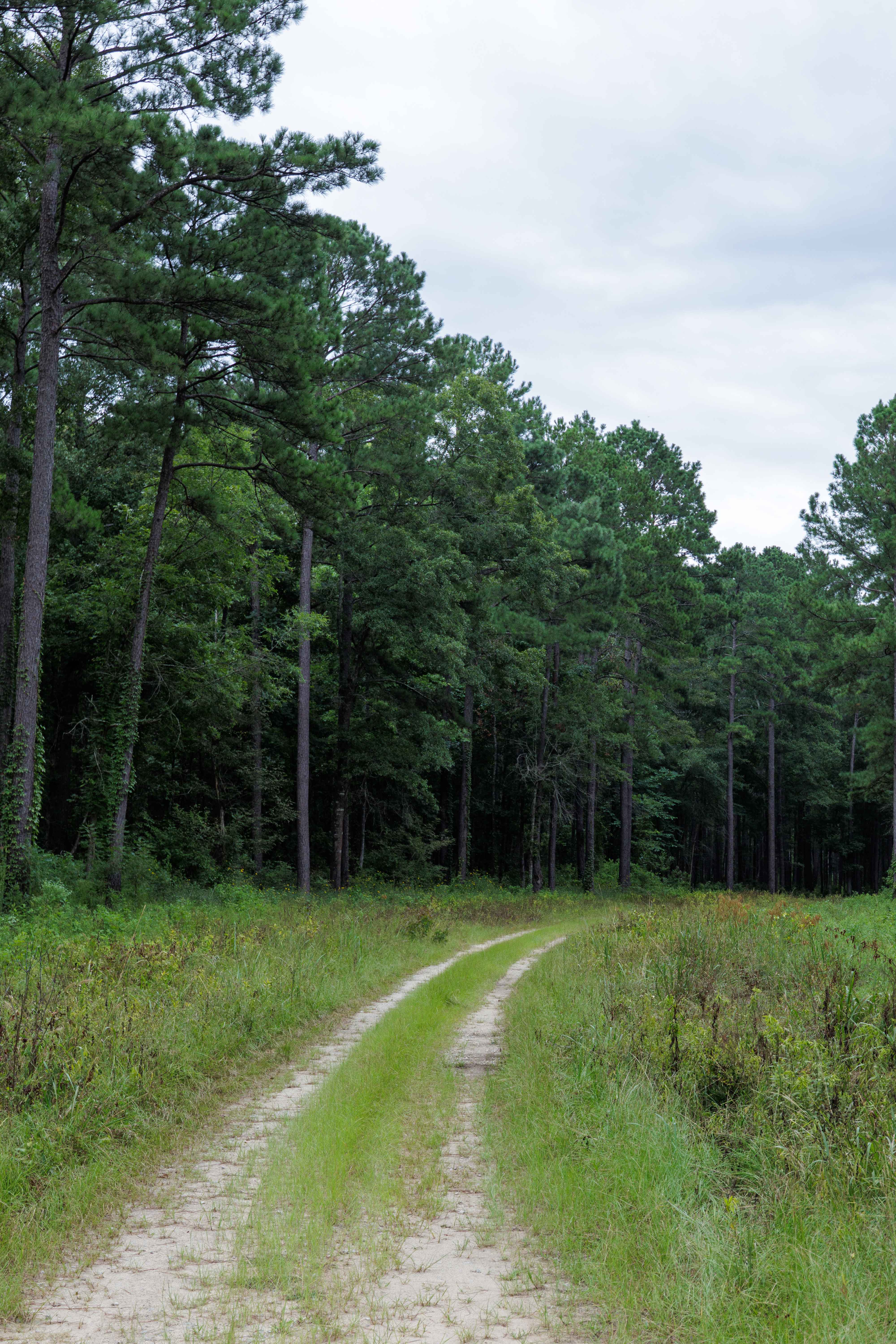
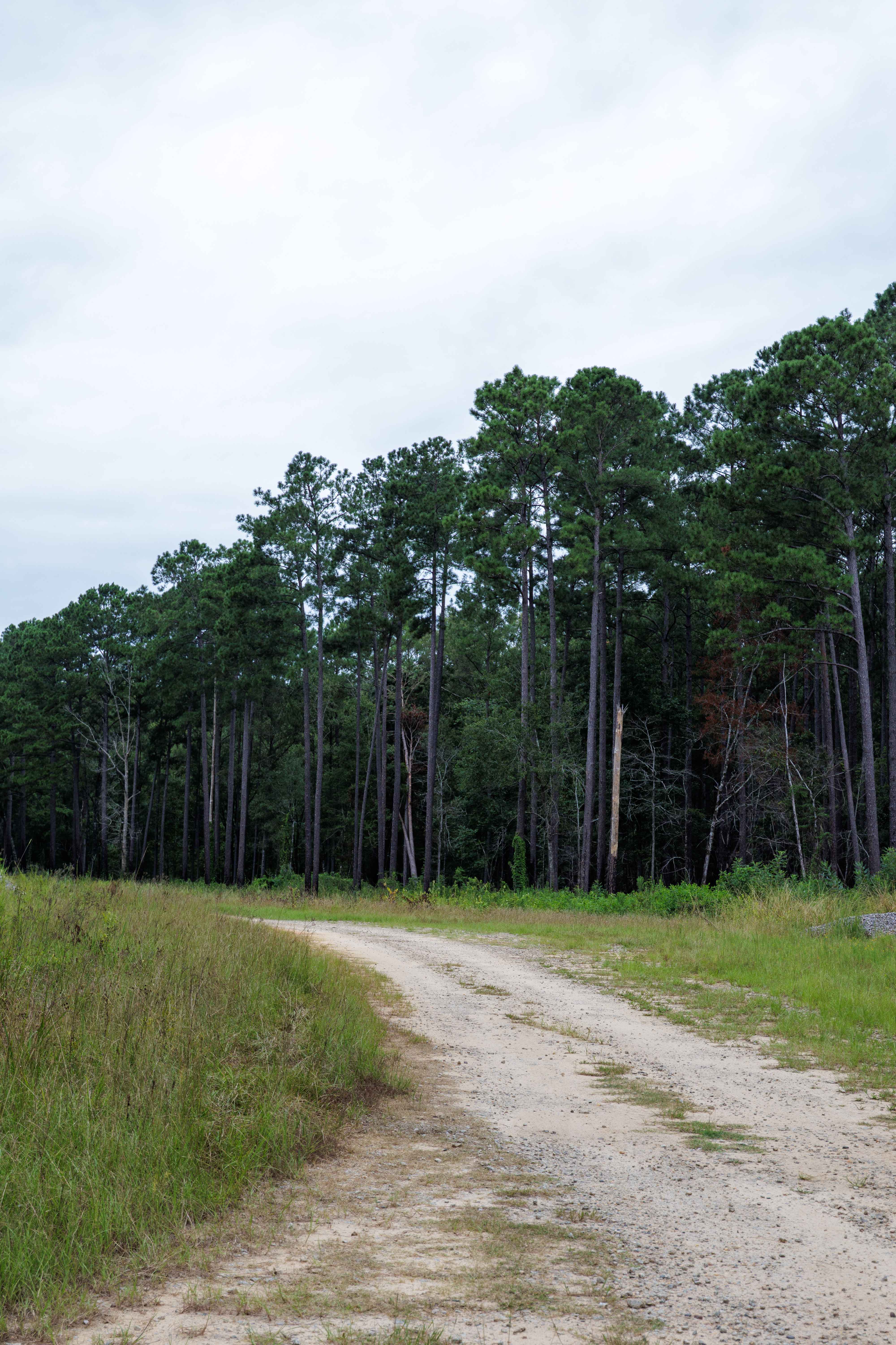
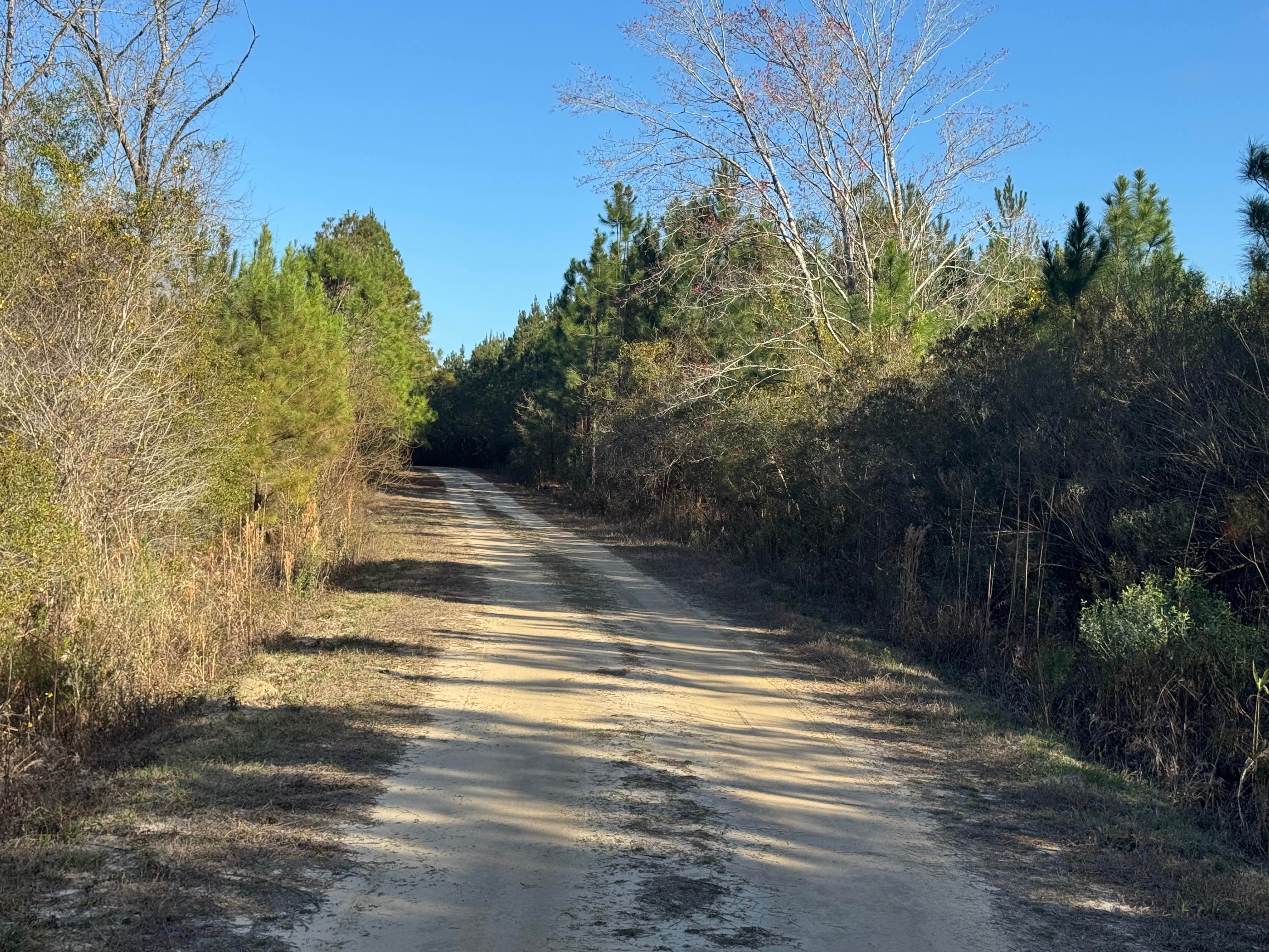
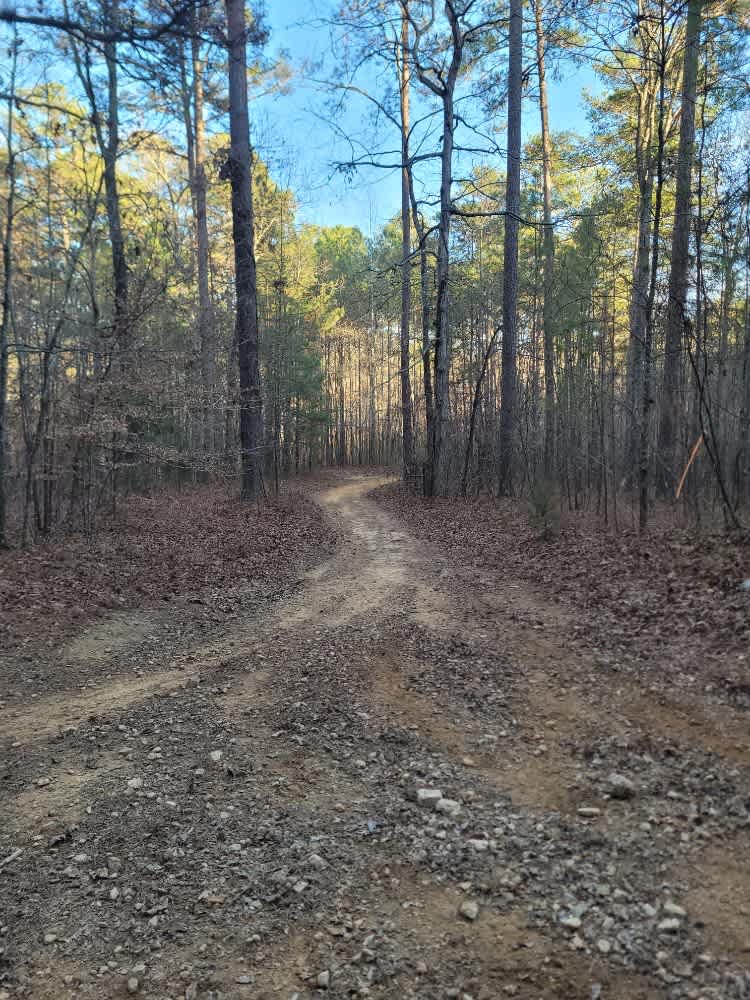
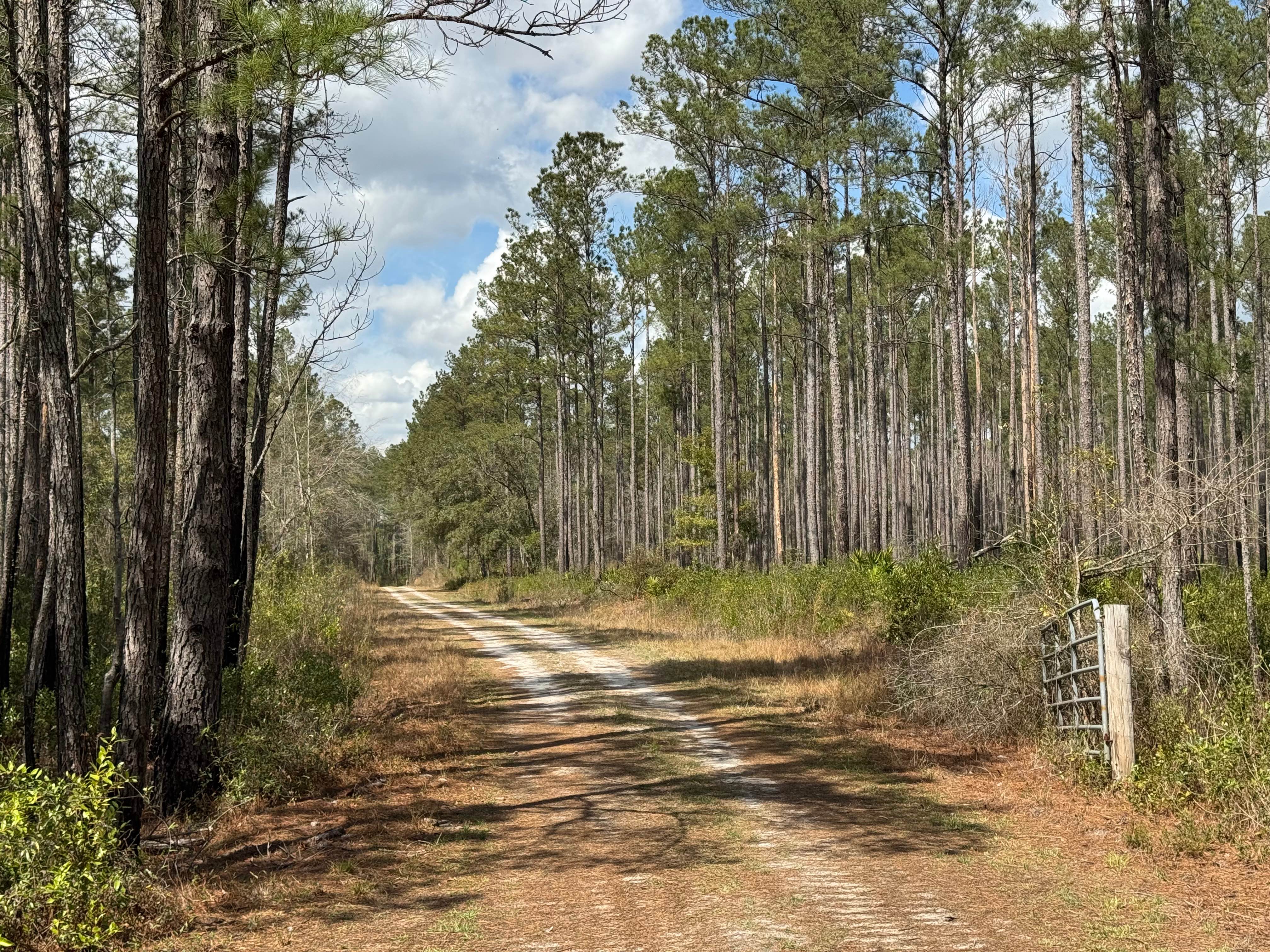
Trail Overview
This route is entirely within the Tuckahoe Wildlife Management Area, a 15,000-acre property bordering the Savannah River. A fishing and/or hunting license is required to legally enter the property and can be obtained via georgiawildlife.com/tuckahoe-wma. Camping is only permitted in one of the two designated camping areas within the property. This route connects the Revolutionary War Memorial area to the swampy sections of the Northern property. Along the route are both the start and finish of the River Road Route, which offers opportunities to drive along the Savannah River and numerous lakes.
Photos of Clay Hill
Difficulty
This route is well maintained by the Georgia DNR and is mostly a large gravel road. Some clearance is necessary due to the larger-sized nature of the gravel used, about softball-sized.
Status Reports
Clay Hill can be accessed by the following ride types:
- High-Clearance 4x4
- SUV
- SxS (60")
- ATV (50")
- Dirt Bike
Clay Hill Map
Popular Trails

Lick Log Creek
Jackson Island Road
181-N-O Unlabeled
Cement Bridge Road
The onX Offroad Difference
onX Offroad combines trail photos, descriptions, difficulty ratings, width restrictions, seasonality, and more in a user-friendly interface. Available on all devices, with offline access and full compatibility with CarPlay and Android Auto. Discover what you’re missing today!