Tates Hell Creek Route
Total Miles
3.2
Technical Rating
Best Time
Summer, Fall, Winter, Spring
Trail Type
Full-Width Road
Accessible By
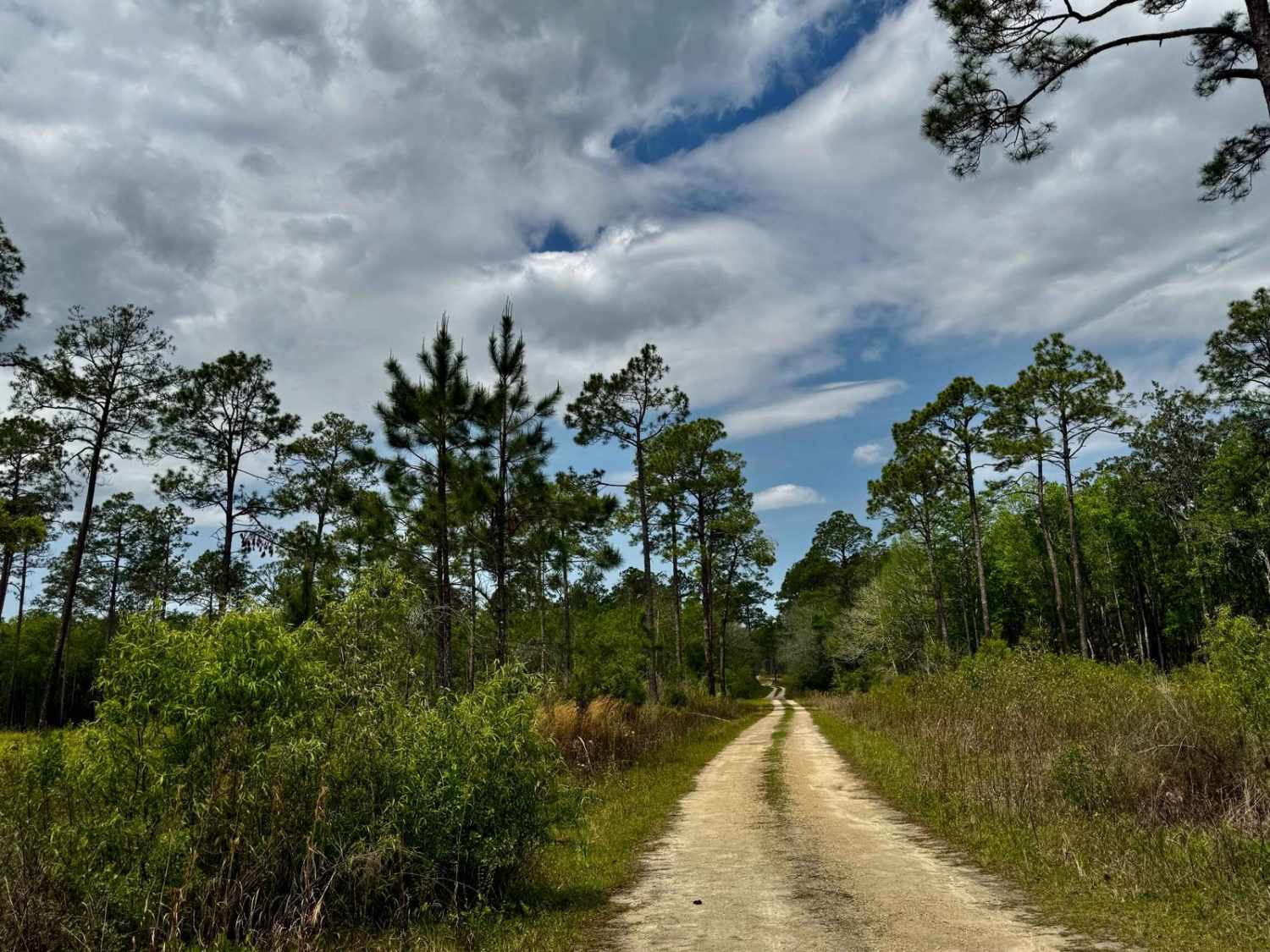
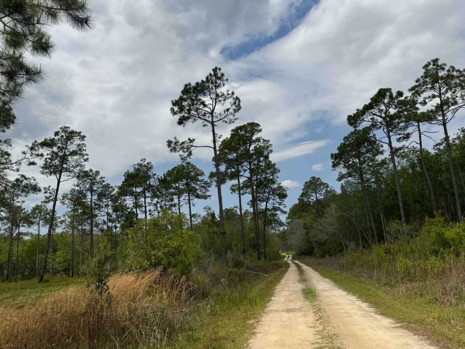
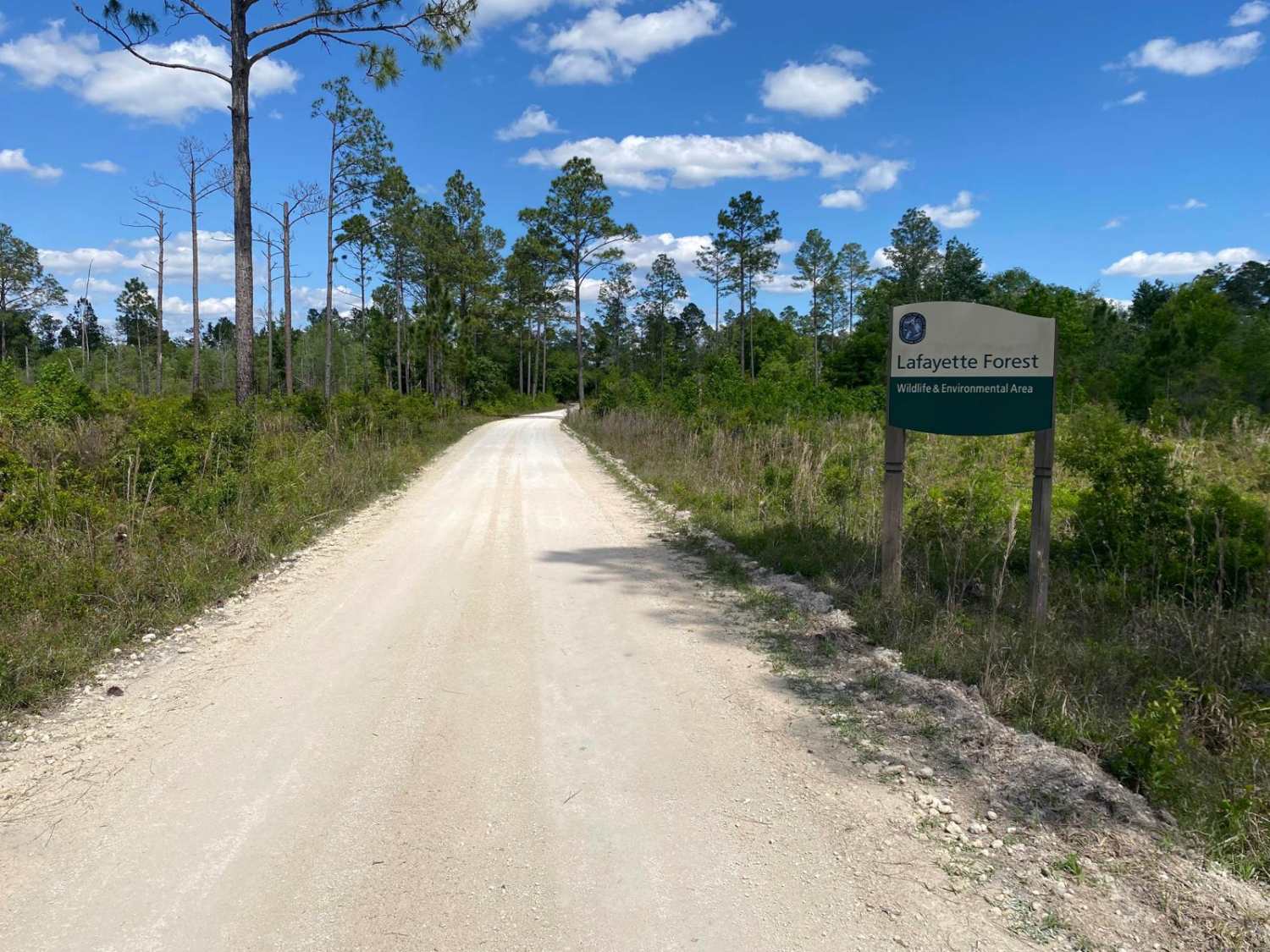
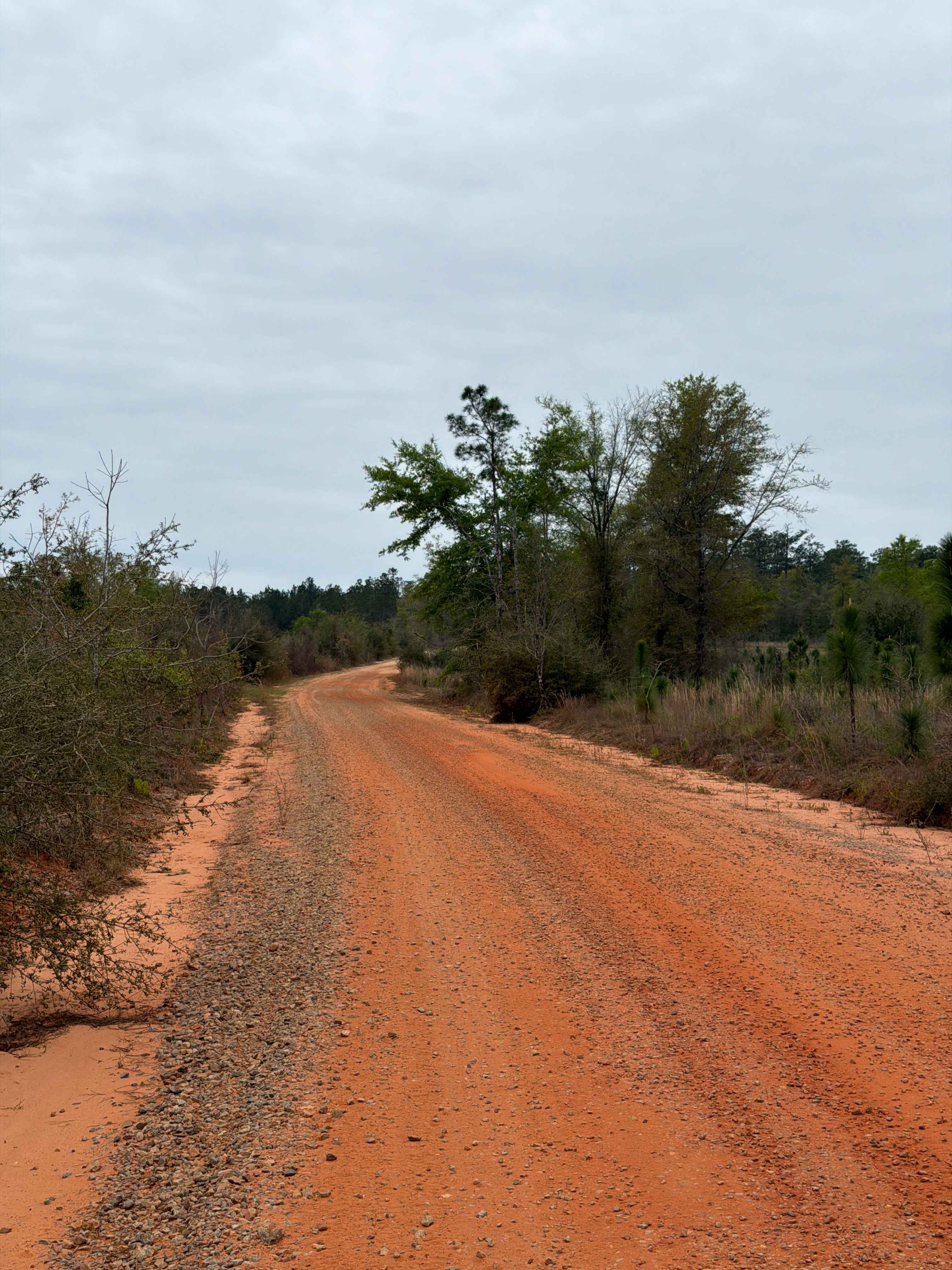
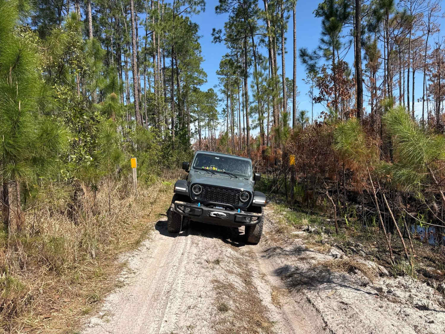
Trail Overview
This rugged two-track trail traverses the western section of Tate's Hell State Forest, connecting State Highway 65 to Bloody Bluff Road. The route is renowned for its numerous water crossings, some of which can reach depths of up to 4 feet during the rainy season. The trail surface varies from hard-packed sand to muddy stretches, with rocky creek beds adding to the challenge. Limited bypass options mean that drivers should be prepared to navigate directly through these obstacles. The surrounding environment features dense pine flatwoods and swampy underbrush, offering a secluded and immersive off-road experience. Given the potential for rapidly changing conditions, it's advisable to check current trail and weather reports before embarking on this route. High-clearance, four-wheel-drive vehicles equipped with appropriate recovery gear are strongly recommended. Pack in, pack out, leave no trace, and tread lightly.
Photos of Tates Hell Creek Route
Difficulty
This trail has deep water to be cautious of.
Status Reports
Tates Hell Creek Route can be accessed by the following ride types:
- High-Clearance 4x4
- SUV
- SxS (60")
- ATV (50")
- Dirt Bike
Tates Hell Creek Route Map
Popular Trails

Bear Road- FS 111-E
East River Road - ONF 74
The onX Offroad Difference
onX Offroad combines trail photos, descriptions, difficulty ratings, width restrictions, seasonality, and more in a user-friendly interface. Available on all devices, with offline access and full compatibility with CarPlay and Android Auto. Discover what you’re missing today!