Sandy Road
Total Miles
4.7
Technical Rating
Best Time
Spring, Summer, Fall, Winter
Trail Type
Full-Width Road
Accessible By
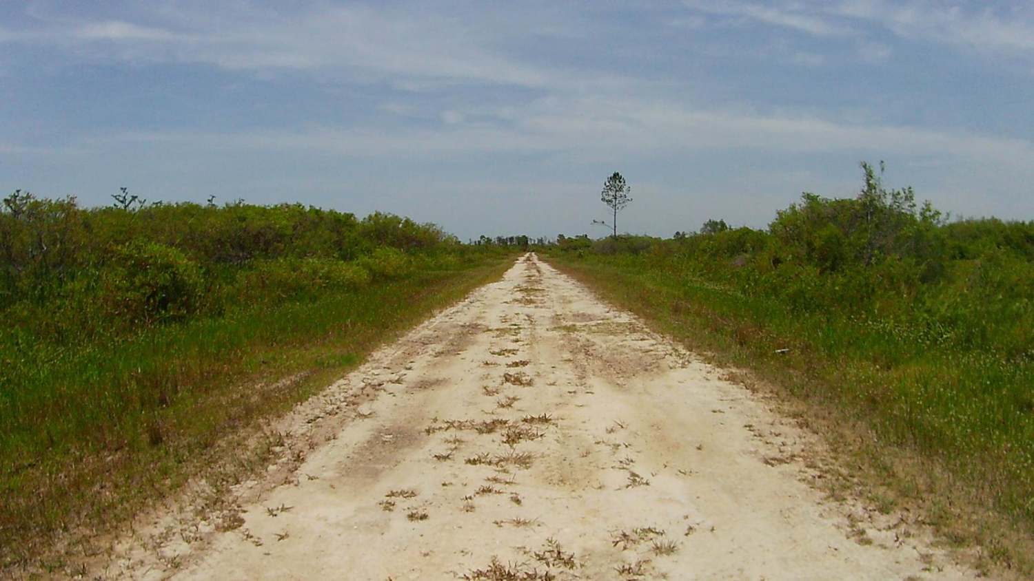
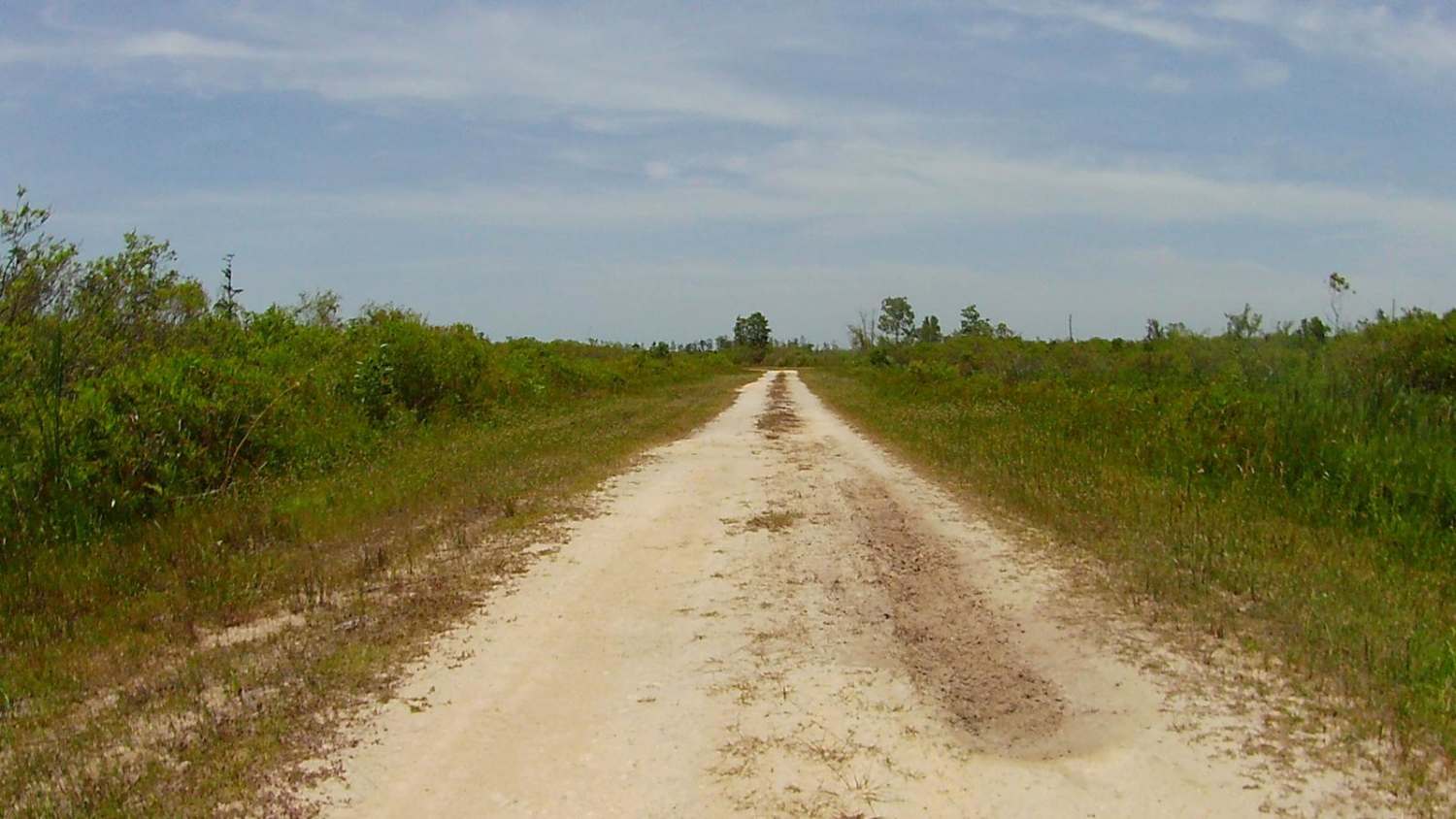
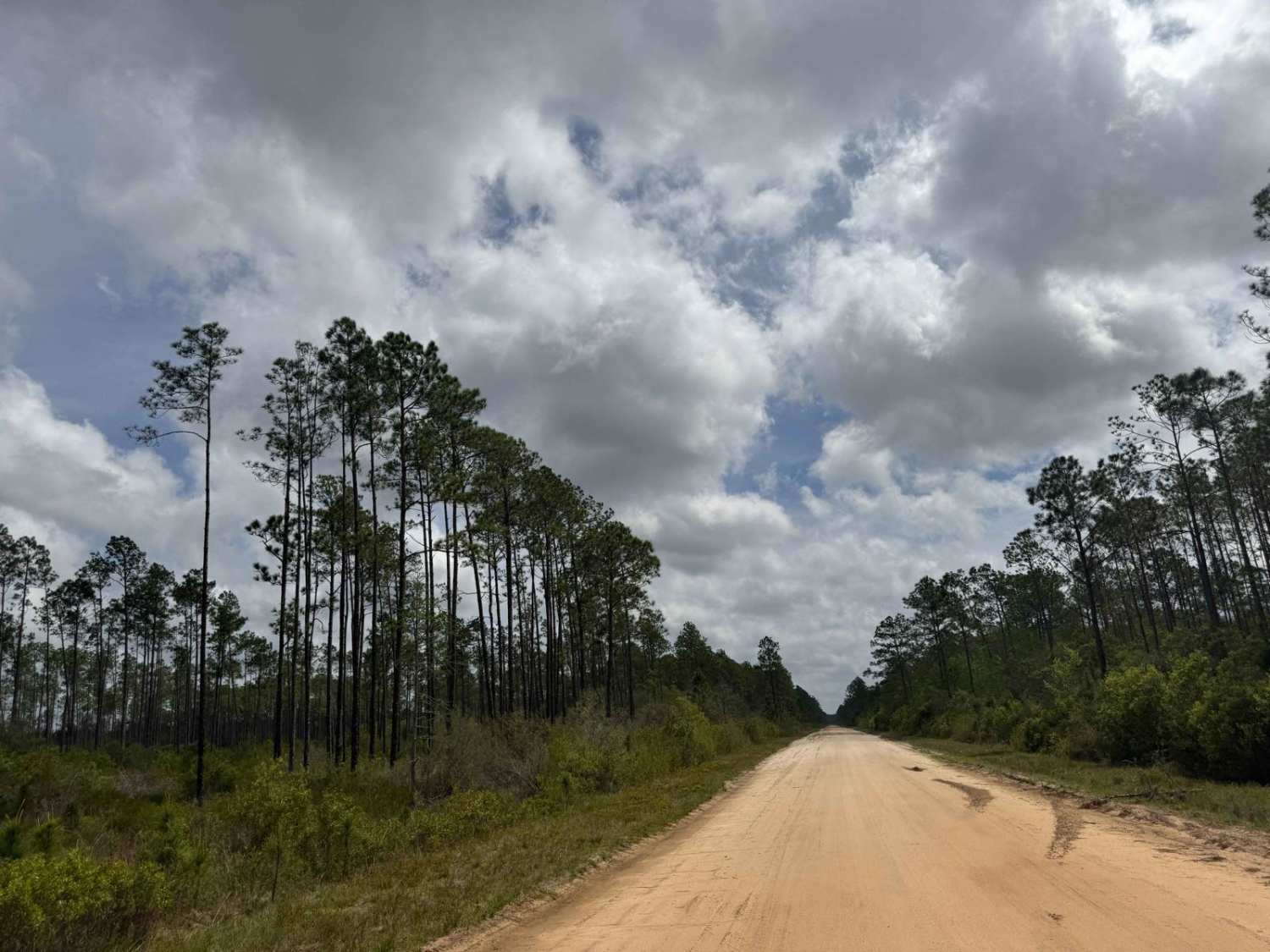
Trail Overview
This trail is one of many in the vast network of trails located within the Mallory Swamp Wildlife Management Area (WMA). Public access is open year-round from 1 1/2 hours before sunrise until 1 1/2 hours after sunset on all trails that are not signed as closed/restricted or private property. ATVs, SxS, or unlicensed or unregistered motorcycles are permitted following the close of Spring Turkey season until the beginning of the Fall black powder hunting season. The use of airboats and tracked vehicles is prohibited. Class 1 electric bicycles may be operated according to rules for traditional, non-motorized bicycles. All other electric bicycles may be operated only on named or numbered roads open to motorized vehicles. The trail is one of the many trails depicted on the area's ATV Access and WMA maps that are not marked in the field. The portion of Sandy Road east of Mainline is private property, and access is not permitted. The remainder of Sandy from Mainline to Crapp's Tower has open access year-round. Sandy Road is a very scenic, winding dirt trail that is mostly single vehicle wide. There are plenty of potholes and wheel ruts that remain muddy even during the dry season. During the wet season or following rain events, expect numerous areas of standing water. The pull-offs for passing are mainly limited to soft shoulder areas abutting drop-offs into the adjacent swamp. The shoulders are soft and muddy. There are plenty of deep ruts where vehicles have pulled off and sunk deep into the soil. The trail is very scenic. Wildlife is abundant along the trail, and on numerous occasions, deer or turkeys crossed the trail.
Photos of Sandy Road
Difficulty
Uneven, rutted dirt trail with potential for loose rocks and sandy washes. Water crossings and/or standing water up to a foot deep are possible following rain events or during the wet season. Potential for mud holes and trail obstacles up to 12 inches, including ledges and short, steep grades. Roads are typically one vehicle wide with places to pass.
Status Reports
Sandy Road can be accessed by the following ride types:
- High-Clearance 4x4
- SUV
- SxS (60")
- ATV (50")
- Dirt Bike
Sandy Road Map
Popular Trails

Gully Creek - FS 136

New River Road

Blackwater North Bypass Route
The onX Offroad Difference
onX Offroad combines trail photos, descriptions, difficulty ratings, width restrictions, seasonality, and more in a user-friendly interface. Available on all devices, with offline access and full compatibility with CarPlay and Android Auto. Discover what you’re missing today!