Road 55 Loop
Total Miles
2.9
Technical Rating
Best Time
Spring, Fall, Winter
Trail Type
Full-Width Road
Accessible By
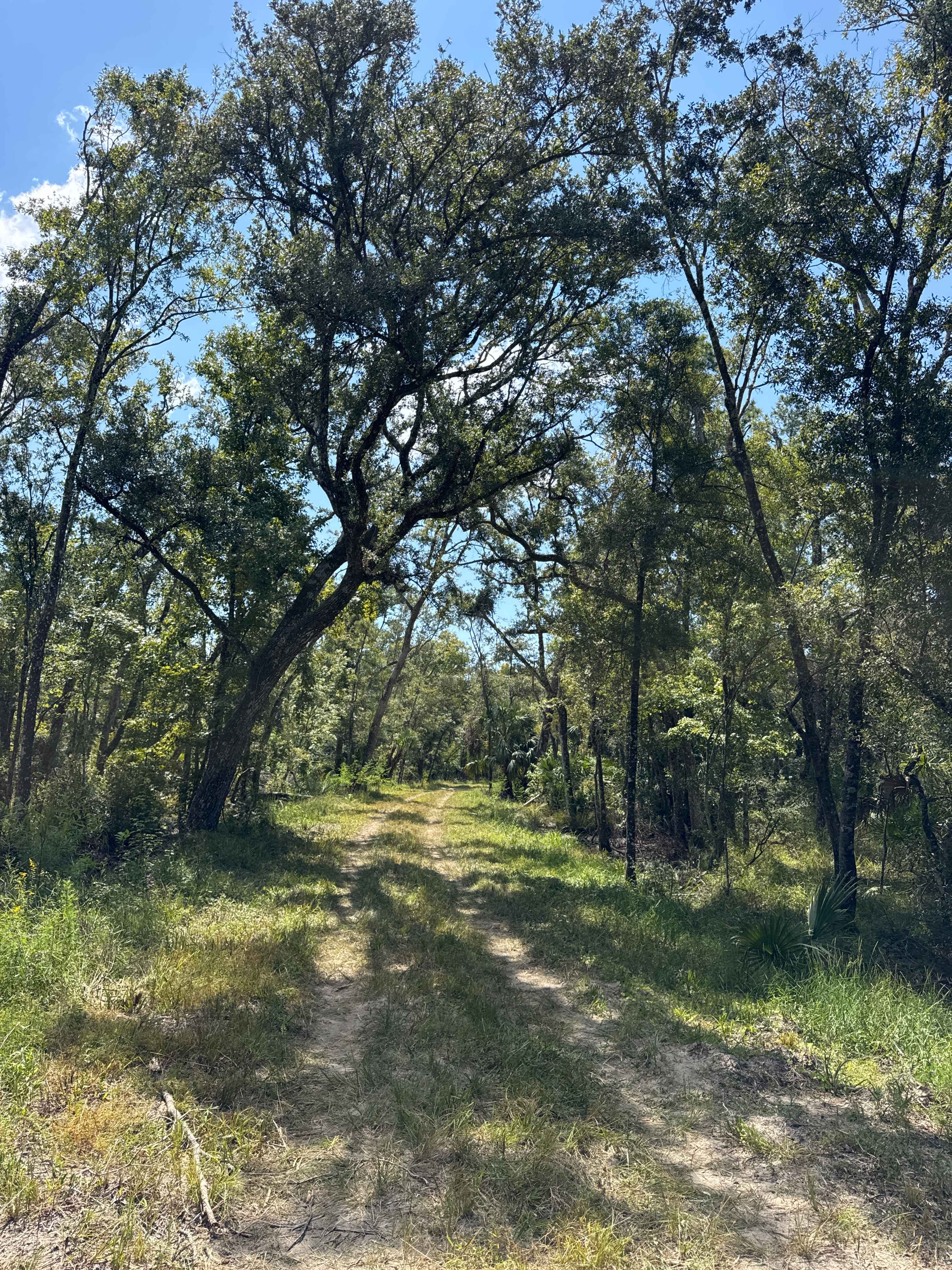
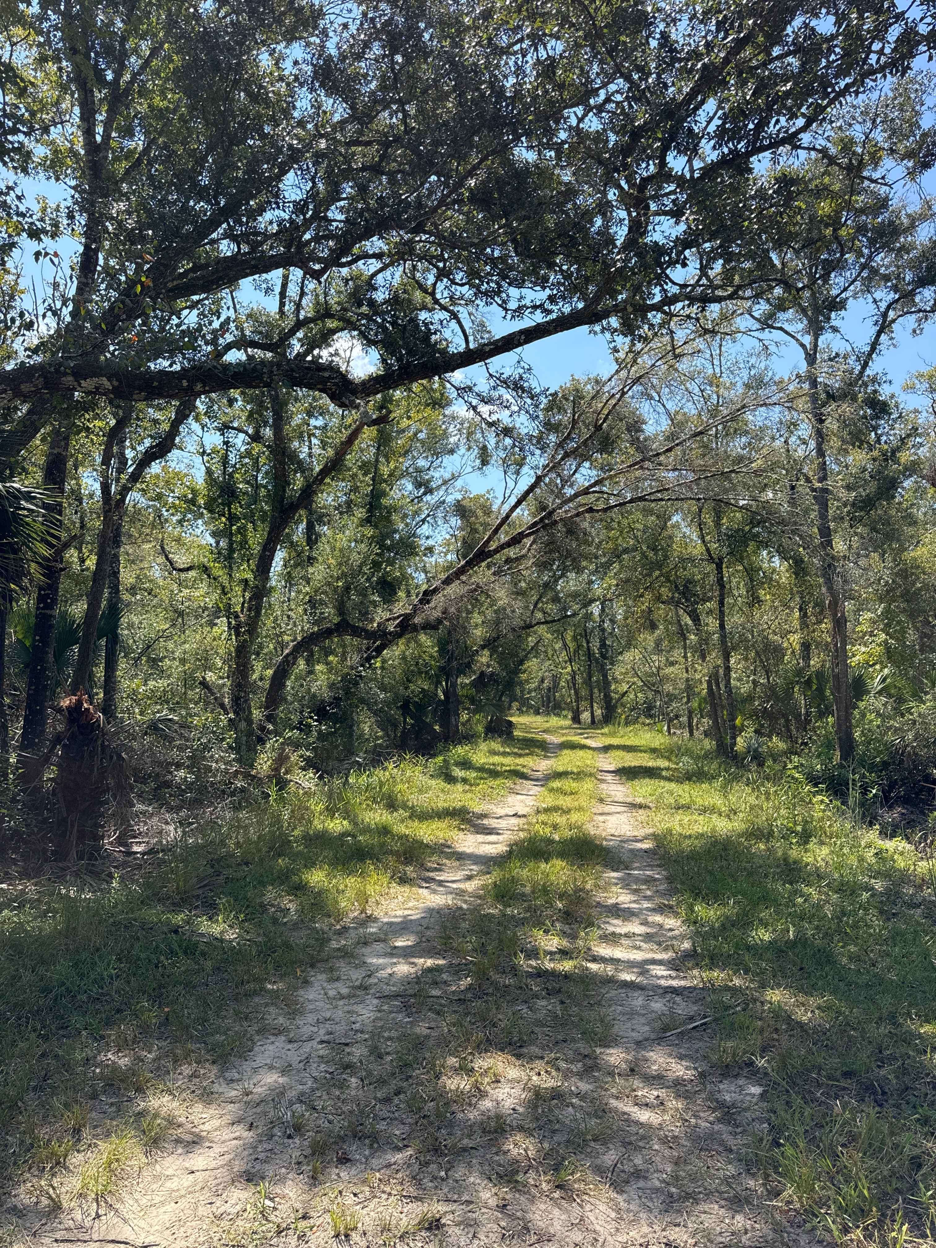
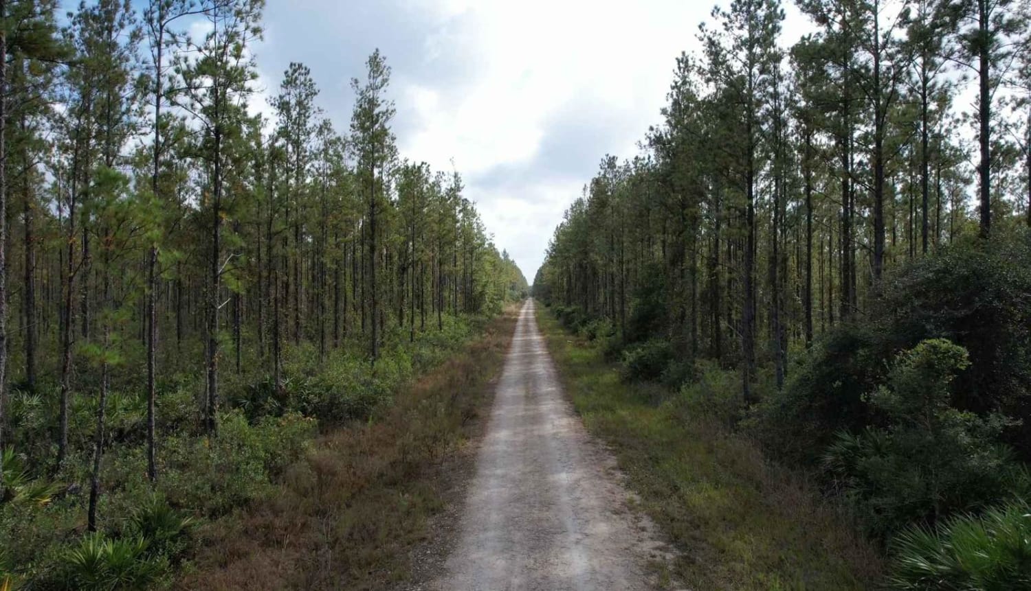
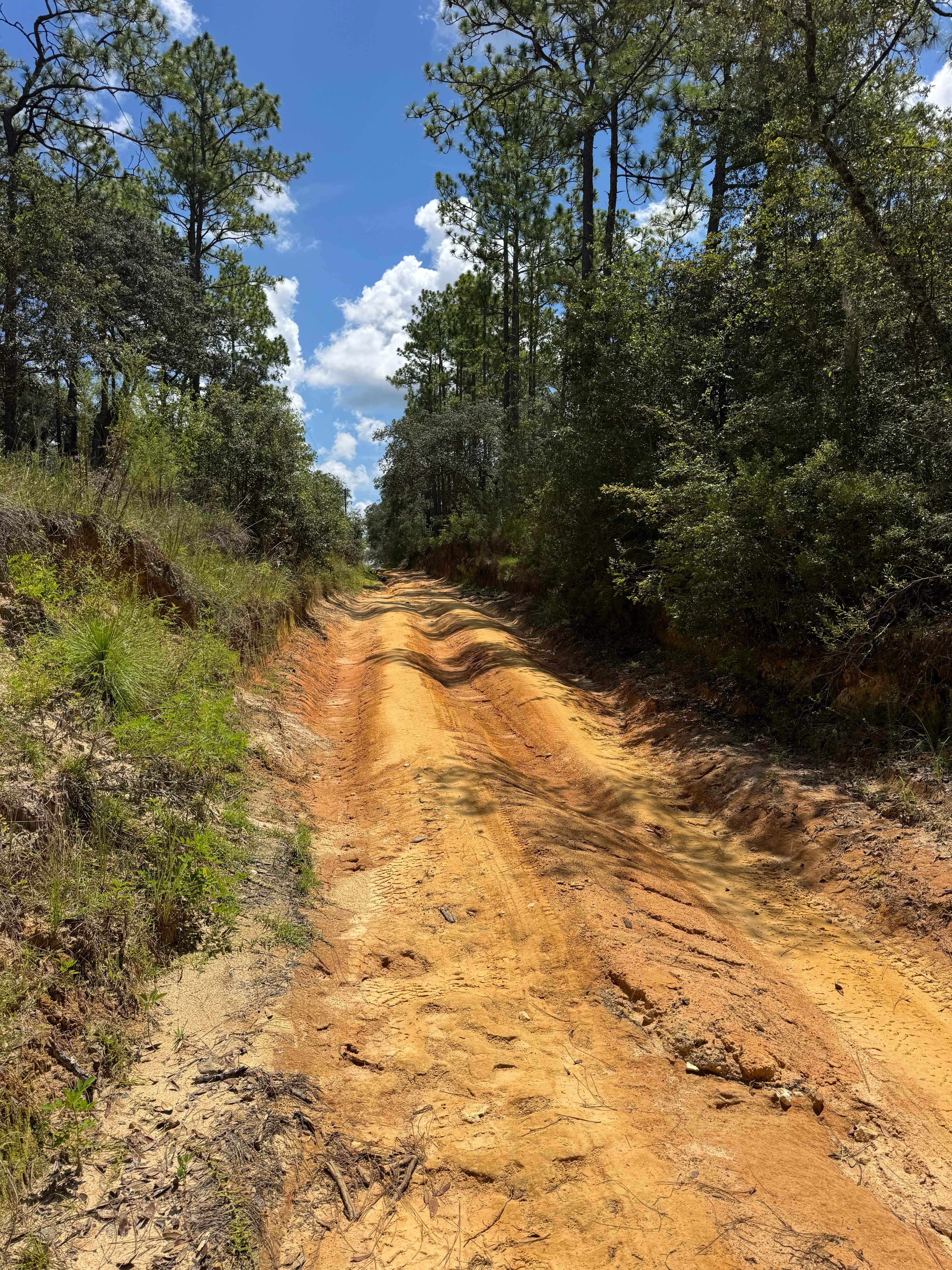
Trail Overview
The Road 55 Loop is a dirt road through the northern part of the Steinhatchee Springs in the Suwannee River WMD. The trail starts and ends on South Canal Road and gives you access to several hiking trails, two huge ponds, and primitive boat ramps along the Steinhatchee River. The road conditions are a mixture of packed sand, loose sand, and some deep holes that can turn into 2-foot deep mud holes after rainy days. The road is not always wide enough for two vehicles to pass. 4WD and high clearance are recommended. All vehicles must be street legal. Motorized vehicles may be operated only on named or numbered roads. The use of tracked vehicles, airboats, motorcycles, or all-terrain vehicles (ATVs) is prohibited. Steinhatchee Springs Wildlife Management Area spans over 20,000 acres of floodplain forest, cypress swamps, xeric hammocks, and pine plantations surrounding the Steinhatchee River in Lafayette, Dixie, and Taylor counties. The 28-mile-long river originates in the upper reaches of Mallory Swamp in Lafayette County and discharges to the Gulf. The river goes underground north of Tennille and rises again about a half mile south.
Photos of Road 55 Loop
Difficulty
This is an easy, non-technical trail unless after heavy rain. Be aware that you're driving through a swamp area. The road conditions can change quickly.
History
District lands have limited access due to their swampy nature and lack of roads into their interiors. Entrances and river access points are open for fishing and nature study every day and are located off Florida Route 51 and the graded roads adjacent to the river. Look for the brown public river access signs to direct you.
Status Reports
Road 55 Loop can be accessed by the following ride types:
- High-Clearance 4x4
- SUV
Road 55 Loop Map
Popular Trails
Gaston Road

North South Spur Road - Four Creeks State Forest

Lawhorn Bay - FS 357
Trail 10 - Citrus WMA
The onX Offroad Difference
onX Offroad combines trail photos, descriptions, difficulty ratings, width restrictions, seasonality, and more in a user-friendly interface. Available on all devices, with offline access and full compatibility with CarPlay and Android Auto. Discover what you’re missing today!