Ocala National Forest Road 58
Total Miles
7.5
Technical Rating
Best Time
Spring, Fall, Winter
Trail Type
Full-Width Road
Accessible By
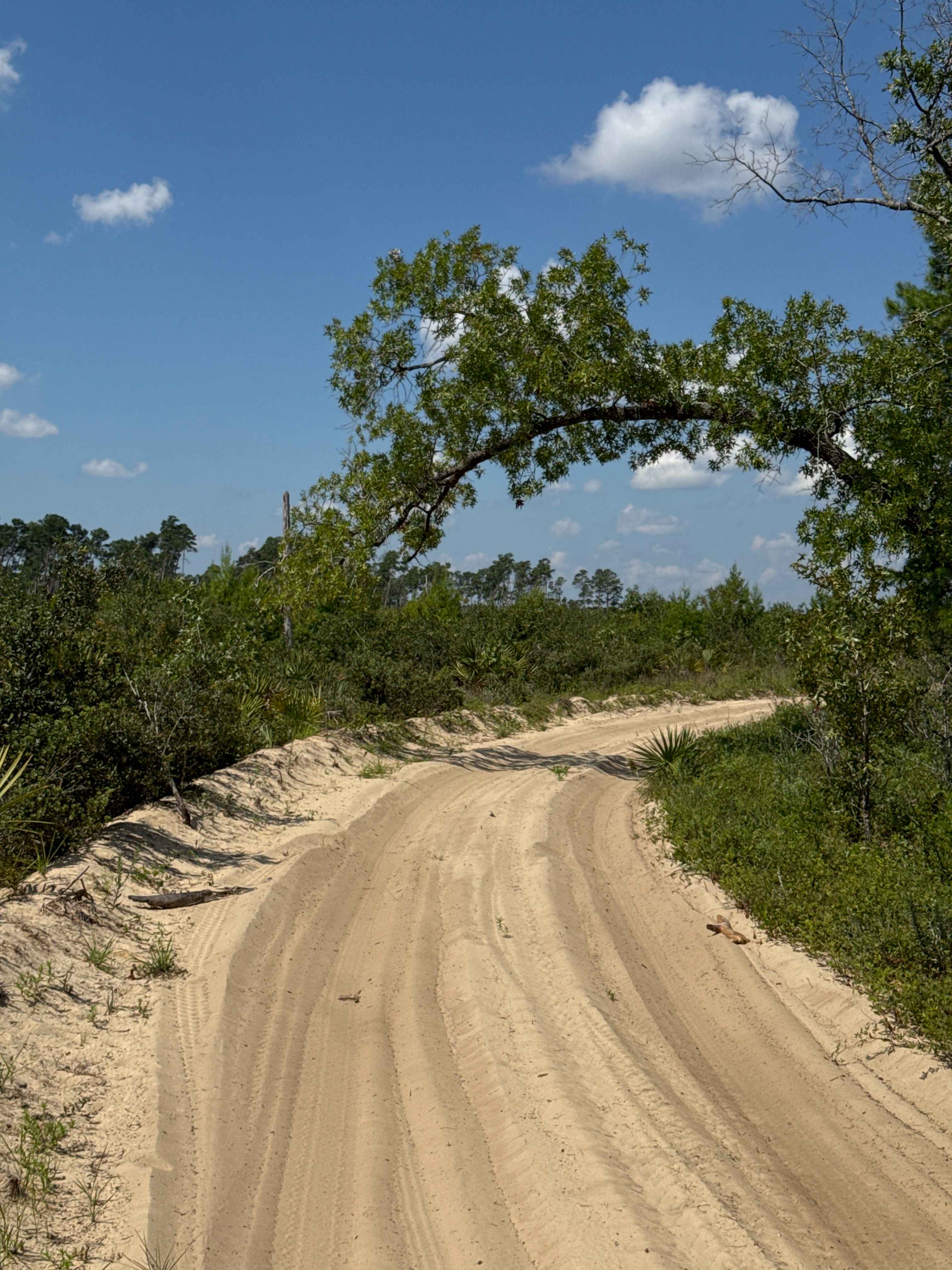
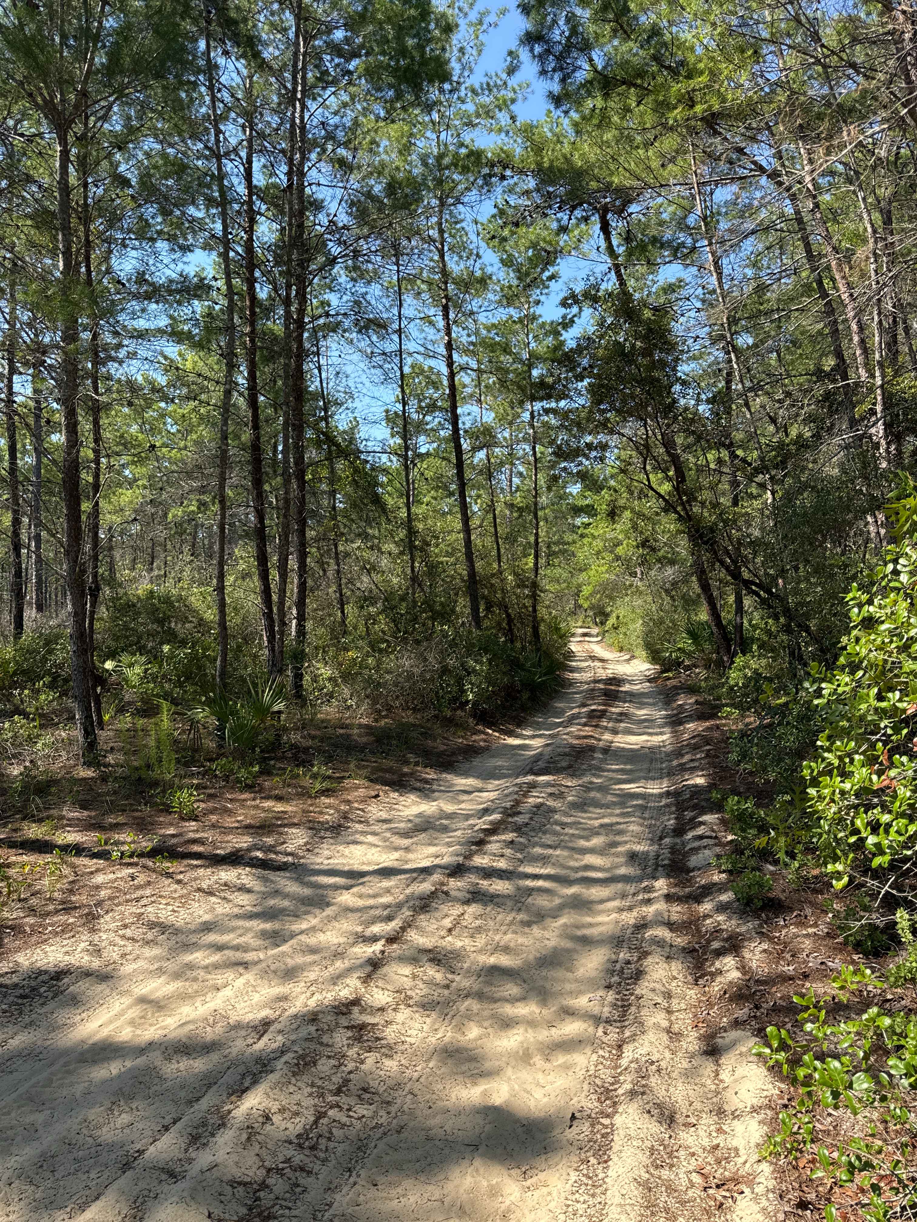
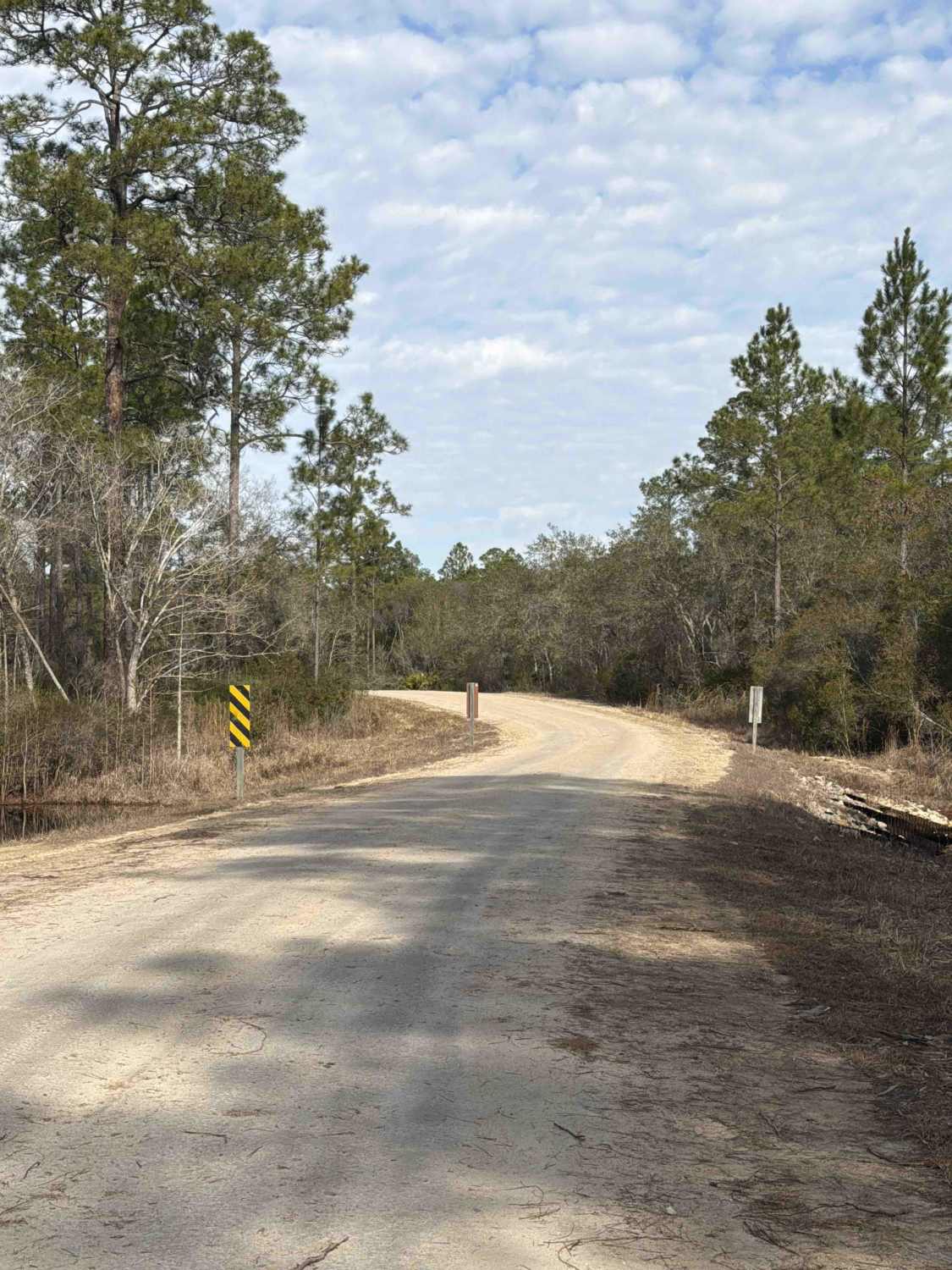
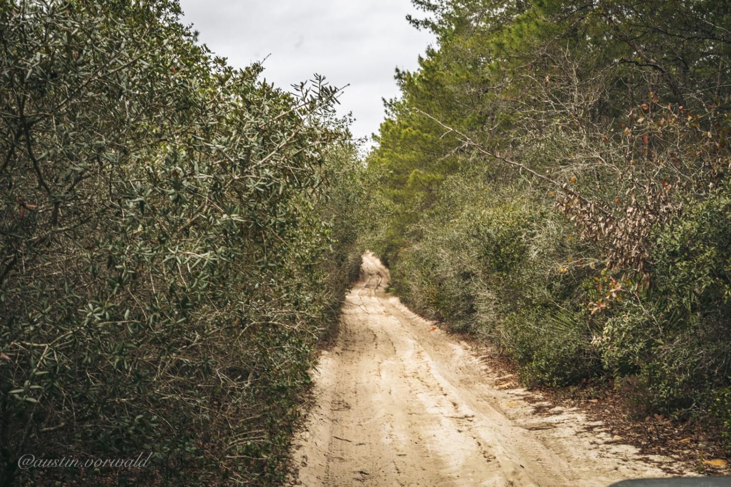
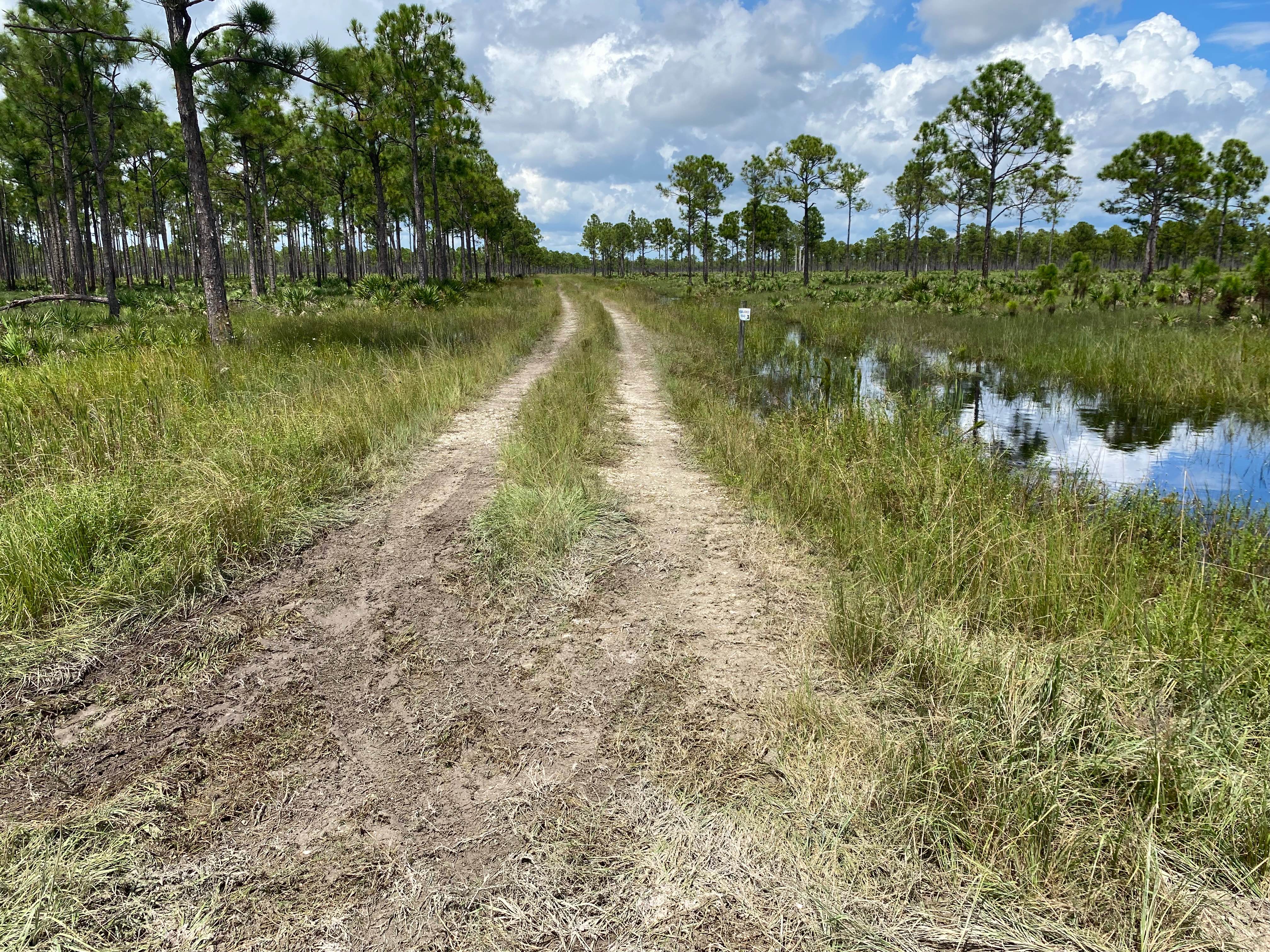
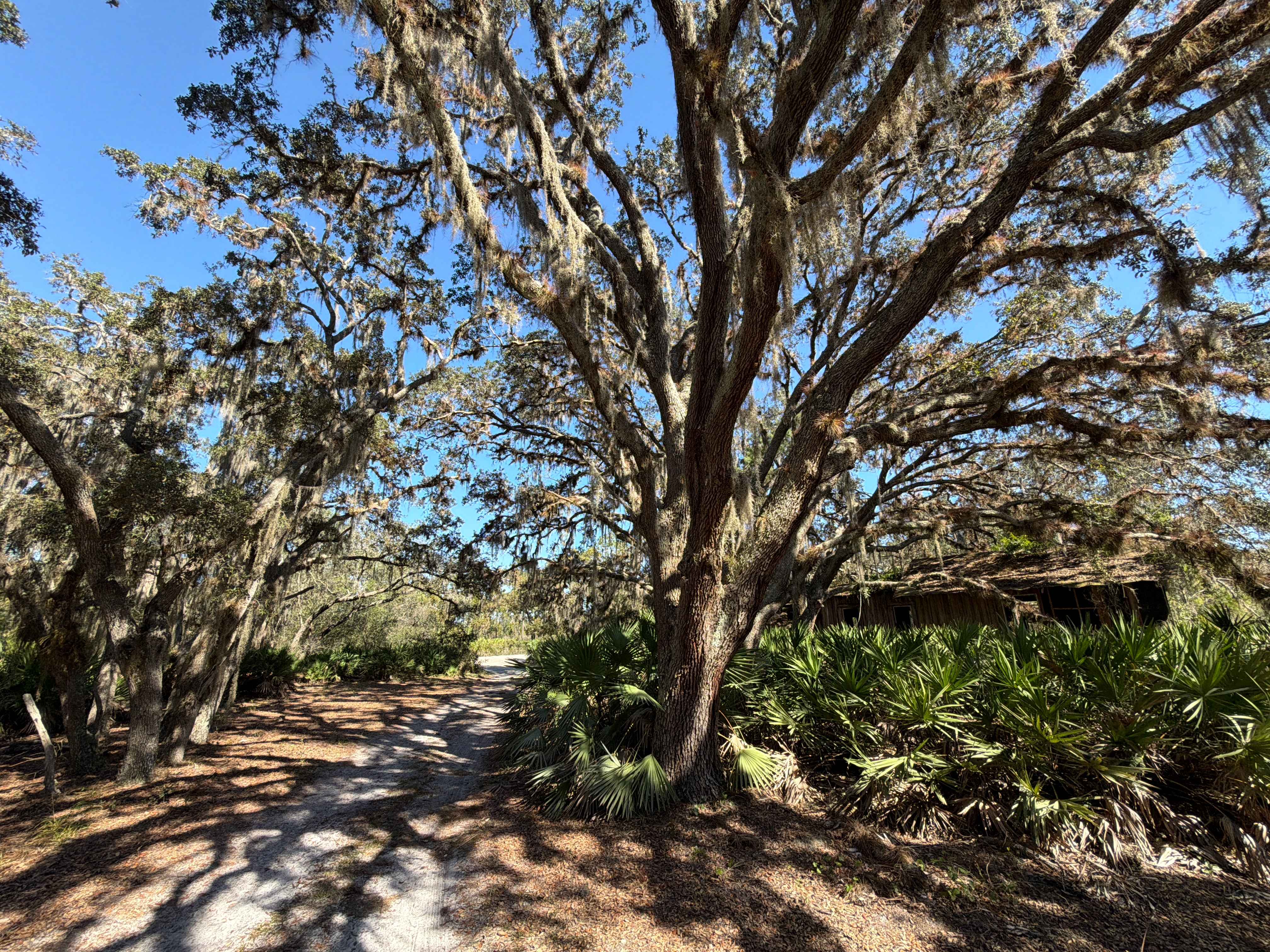
Trail Overview
The Ocala National Forest Road 58 connects FR 11 at the north end and the ONF 314-16.7 Trail at the south end of the trail in the northeast part of the ONF. The trail takes you along Talt Springs Island and allows rare views over the valley. The road conditions are a mixture of packed sand, loose sand, and some deep holes that can turn into 3-foot deep mud holes after rainy days. Some obstacles require High Clearance and 4WD during the rainy season. The road is narrow and not wide enough for two vehicles to pass. The trail shares a few miles with the Tread Lightly! Four Wheel Drive Way (Florida's only Jeep Badge of Honor trail). All vehicles must be street legal. Ocala National Forest is in Florida, north of Orlando. It's known for its large areas of sand pine scrub forest. The Juniper Springs, Alexander Springs, and Salt Springs recreation areas have natural pools and canoe runs. Hundreds of lakes and ponds include Lake Kerr and the enormous Lake George.
Photos of Ocala National Forest Road 58
Difficulty
Flooded and deep sand areas require High Clearance and 4WD, especially during rain season.
Status Reports
Ocala National Forest Road 58 can be accessed by the following ride types:
- High-Clearance 4x4
- SUV
- SxS (60")
- ATV (50")
- Dirt Bike
Ocala National Forest Road 58 Map
Popular Trails
Gore - FS 353
FR 46/Pats Island Rd
Long Loop Road 4 - Three Lakes WMA
The onX Offroad Difference
onX Offroad combines trail photos, descriptions, difficulty ratings, width restrictions, seasonality, and more in a user-friendly interface. Available on all devices, with offline access and full compatibility with CarPlay and Android Auto. Discover what you’re missing today!