McKinney Sink Road
Total Miles
3.0
Technical Rating
Best Time
Spring, Winter
Trail Type
Full-Width Road
Accessible By
Trail Overview
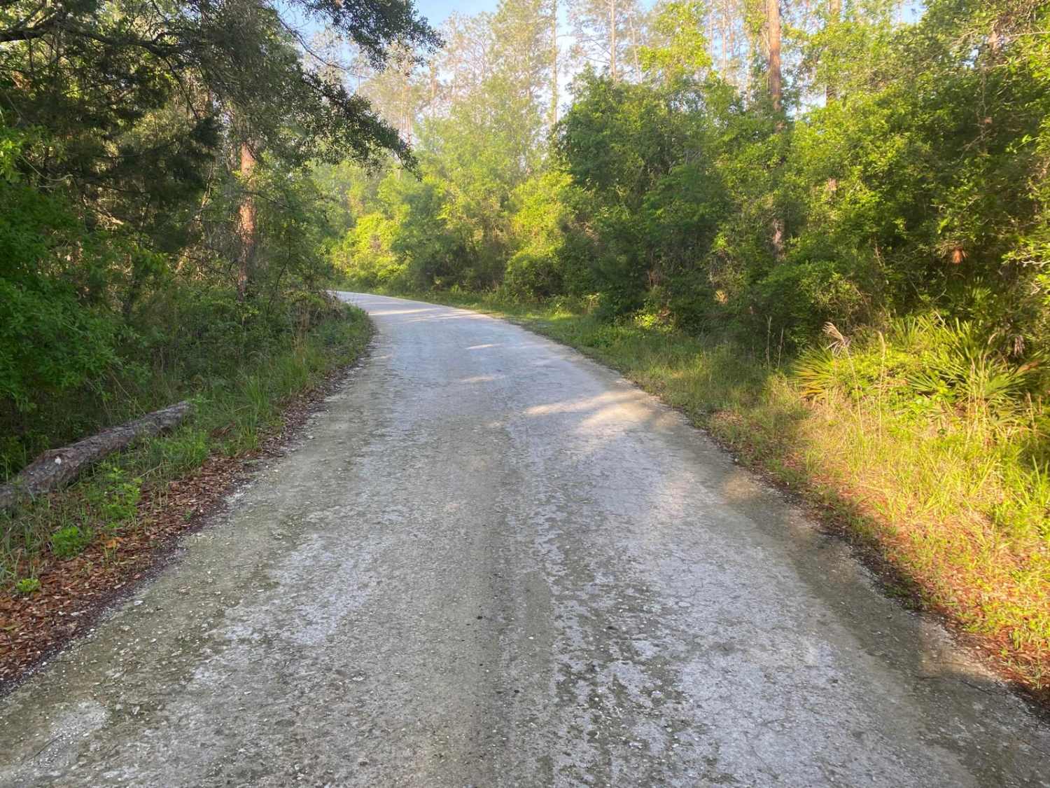
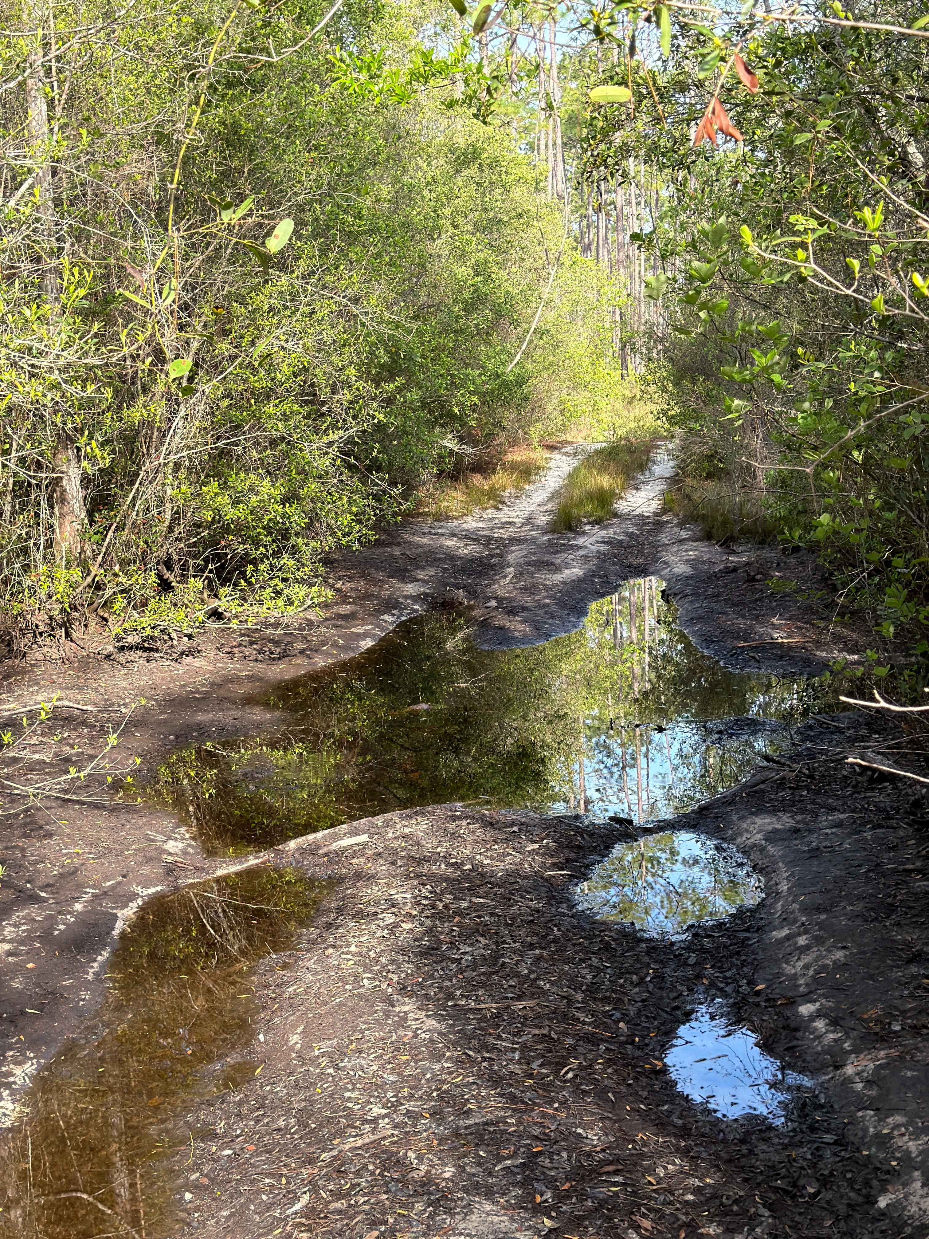
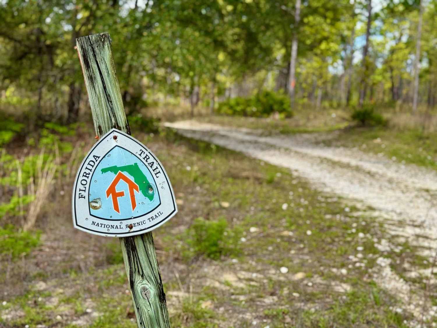
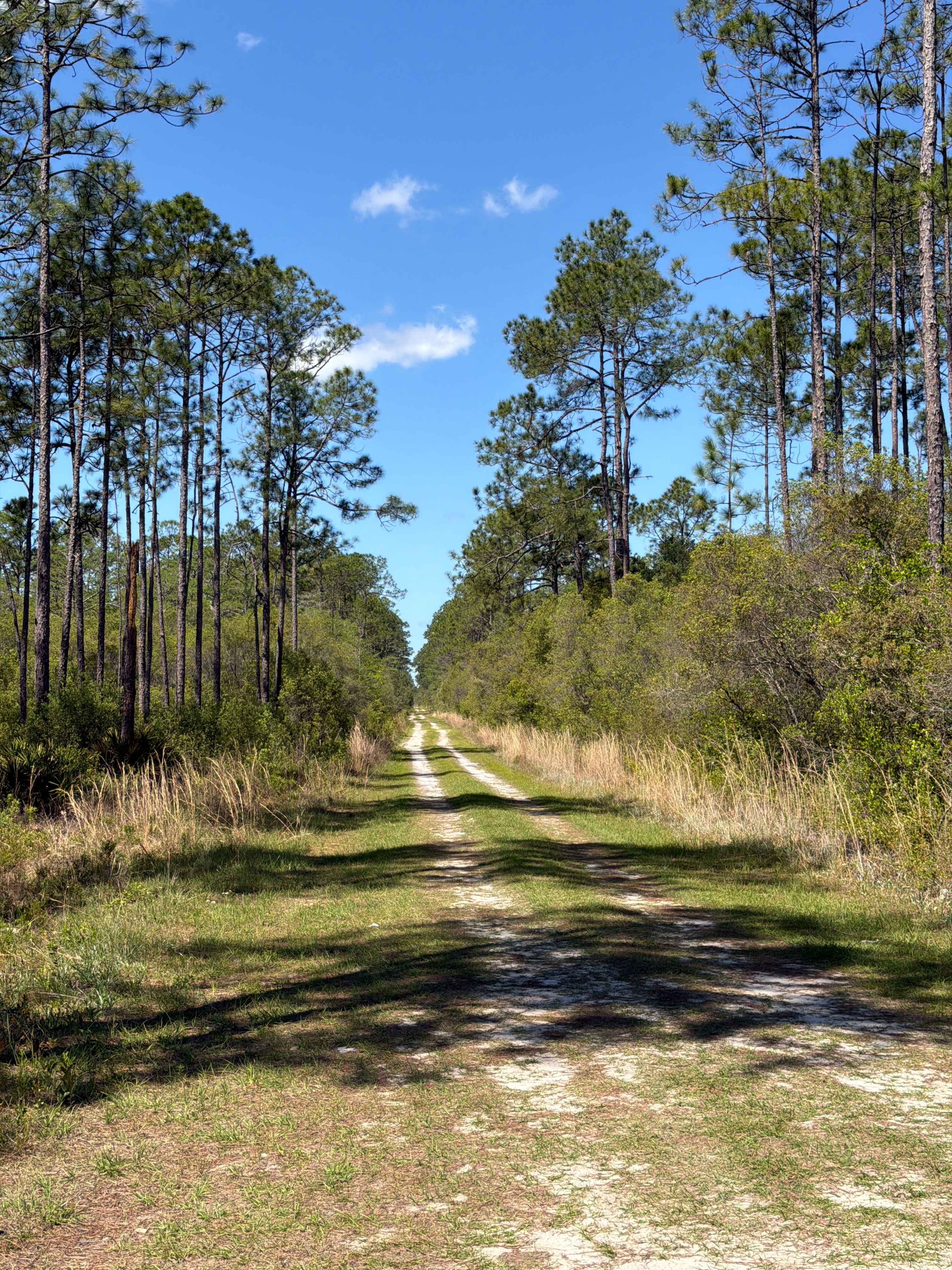
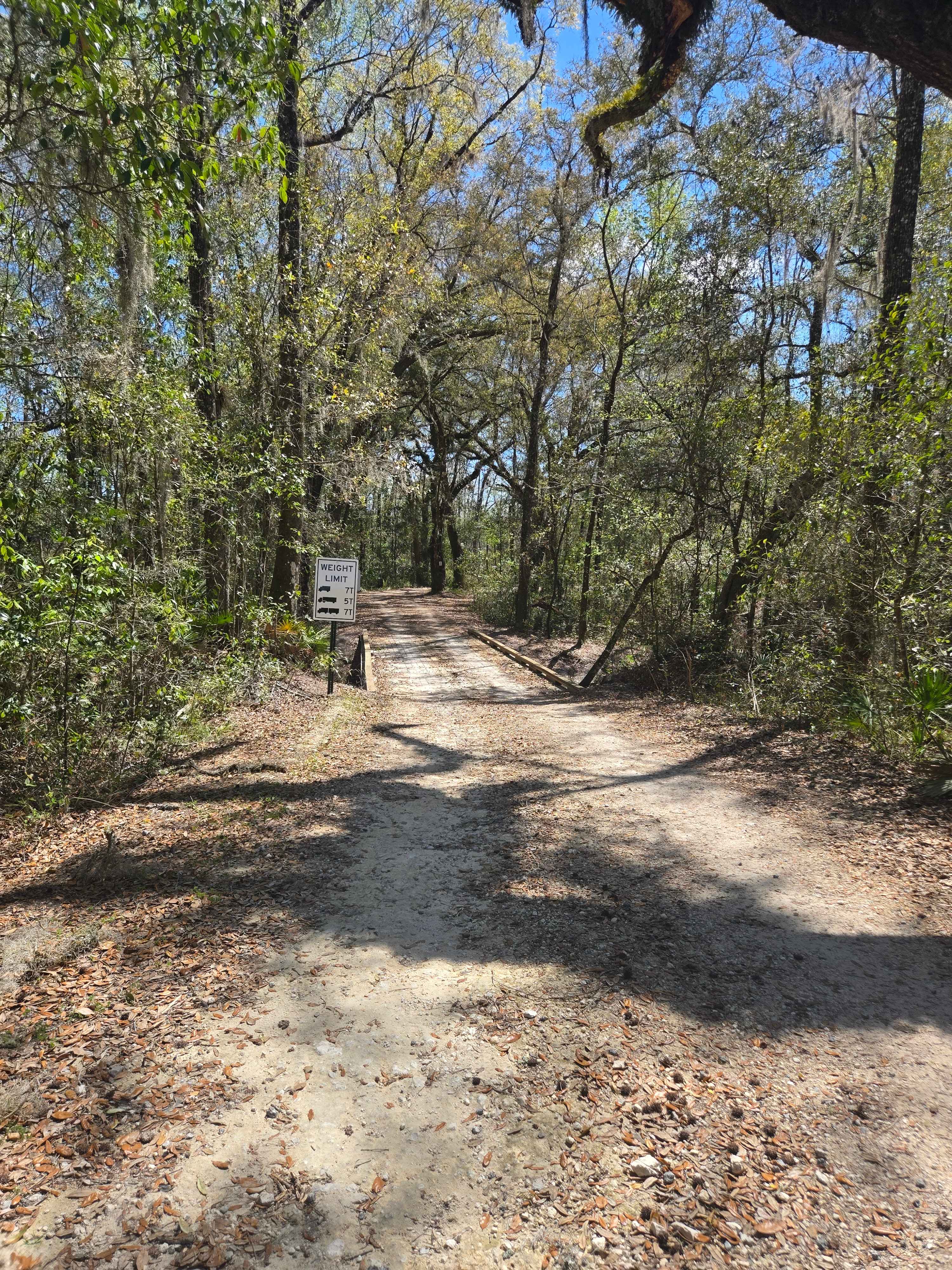
This trail is located within the Florida Fish and Wildlife Commission's (FWC) Richloam Wildlife Management Area (WMA), which is one of seven tracts that compose Withlacoochee State Forest. The Richloam tract consists of 58,000-plus acres crossing over four counties in northcentral Florida. Public access is open year-round to all forms of off-roading. Class 1 electric bicycles may be operated according to rules for traditional, non-motorized bicycles. All other electric bicycles may be operated only on named or numbered roads open to motorized vehicles. The trails traverse across a variety of wildlife habitats ranging from cypress swamps, strand bottomland hardwoods, pine land flats, and oak hammocks. The trail is primarily one vehicle wide, having lots of blind corners and rolling hills. Some trails have no signage, others have hand-marked tin signs, or are marked via blazed trees. Watch for horseback riders, dirt bikes, ATVs, and SxS, which can abruptly appear around corners or at intersecting trails. Pull-off areas for passing are limited, those locations are often on shoulder areas that are soft soils or mud. The trail is dirt/mud or soft sand. Some segments of the trail are compacted gravel/stone. The FWC WMA brochure defines this trail as an improved road/trail. The trail has numerous deep, muddy ruts and potholes. Pockets of soft sand or dirt. During the wet season, expect the trail to be sticky with numerous mudholes, potential mudholes, or water crossings deeper than 12". Trail obstacles such as rocks, large tree roots, or fallen trees greater than 12 inches in diameter are possible. Following rain or storm events, maintenance of the trail may be limited to only removing debris that is impeding or blocking trail access and may not occur immediately. Wildlife observation opportunities abound. There is a possibility of observing a variety of wildlife. This is an active WMA and preservation area; several open hunting seasons start late summer and extend through Spring.
Photos of McKinney Sink Road

Difficulty
The trail is primarily one vehicle wide, having lots of blind corners and rolling hills. Some trails have no signage, others have hand-marked tin signs, or are marked via blazed trees. Watch for horseback riders, dirt bikes, ATVs, and SxS, which can abruptly appear around corners or at intersecting trails. Pull-off areas for passing are limited, those locations are often on shoulder areas that are soft soils or mud. The trail is dirt/mud or soft sand. Some segments of the trail are compacted gravel/stone. The FWC WMA brochure defines this trail as an improved road/trail. The trail has numerous deep, muddy ruts and potholes. Pockets of soft sand or dirt. During the wet season, expect the trail to be sticky with numerous mudholes, potential mudholes, or water crossings deeper than 12 inches. Trail obstacles such as rocks, large tree roots, or fallen trees greater than 12 inches in diameter are possible. Following rain or storm events, maintenance of the trail may be limited to only removing debris that is impeding or blocking trail access and may not occur immediately.
Status Reports
McKinney Sink Road can be accessed by the following ride types:
- High-Clearance 4x4
- SUV
- SxS (60")
- ATV (50")
- Dirt Bike
McKinney Sink Road Map
Popular Trails
Mini Shot Trail - FS 105K
Queens Bay - FS 107
West V Road
The onX Offroad Difference
onX Offroad combines trail photos, descriptions, difficulty ratings, width restrictions, seasonality, and more in a user-friendly interface. Available on all devices, with offline access and full compatibility with CarPlay and Android Auto. Discover what you’re missing today!