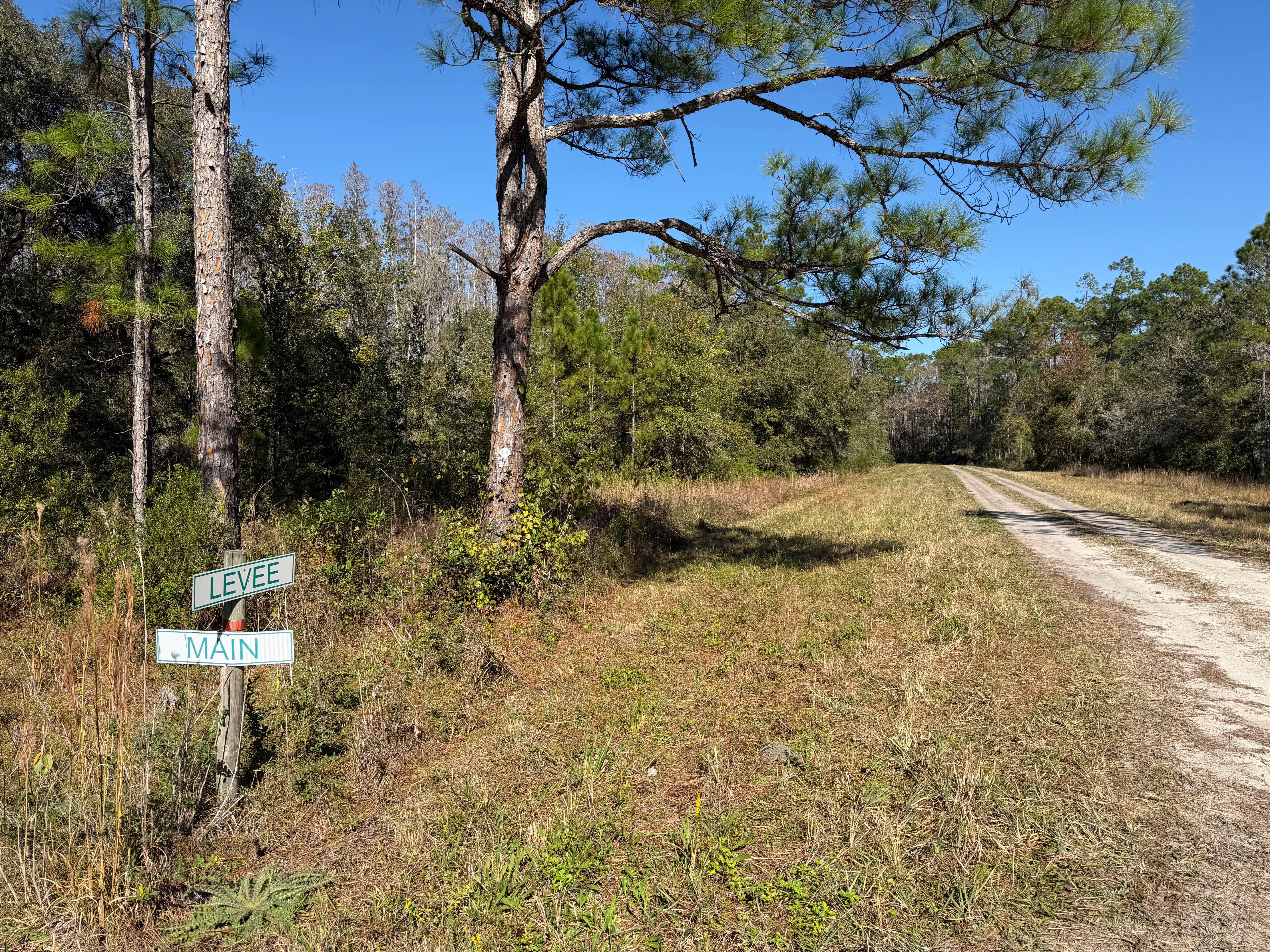
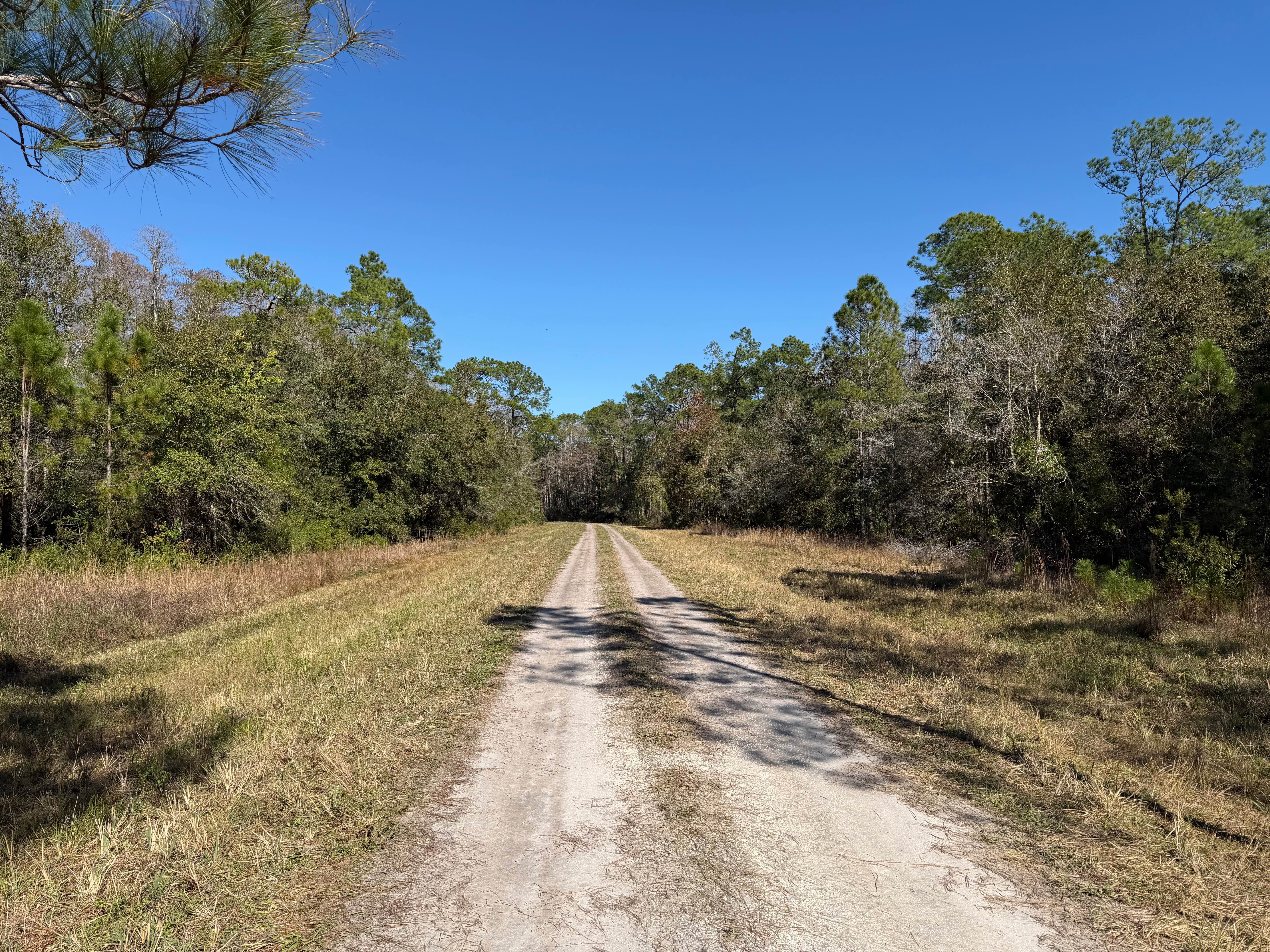
Levee Road
Total Miles
6.6
Technical Rating
Best Time
Spring, Summer, Fall, Winter
Trail Type
Full-Width Road
Accessible By
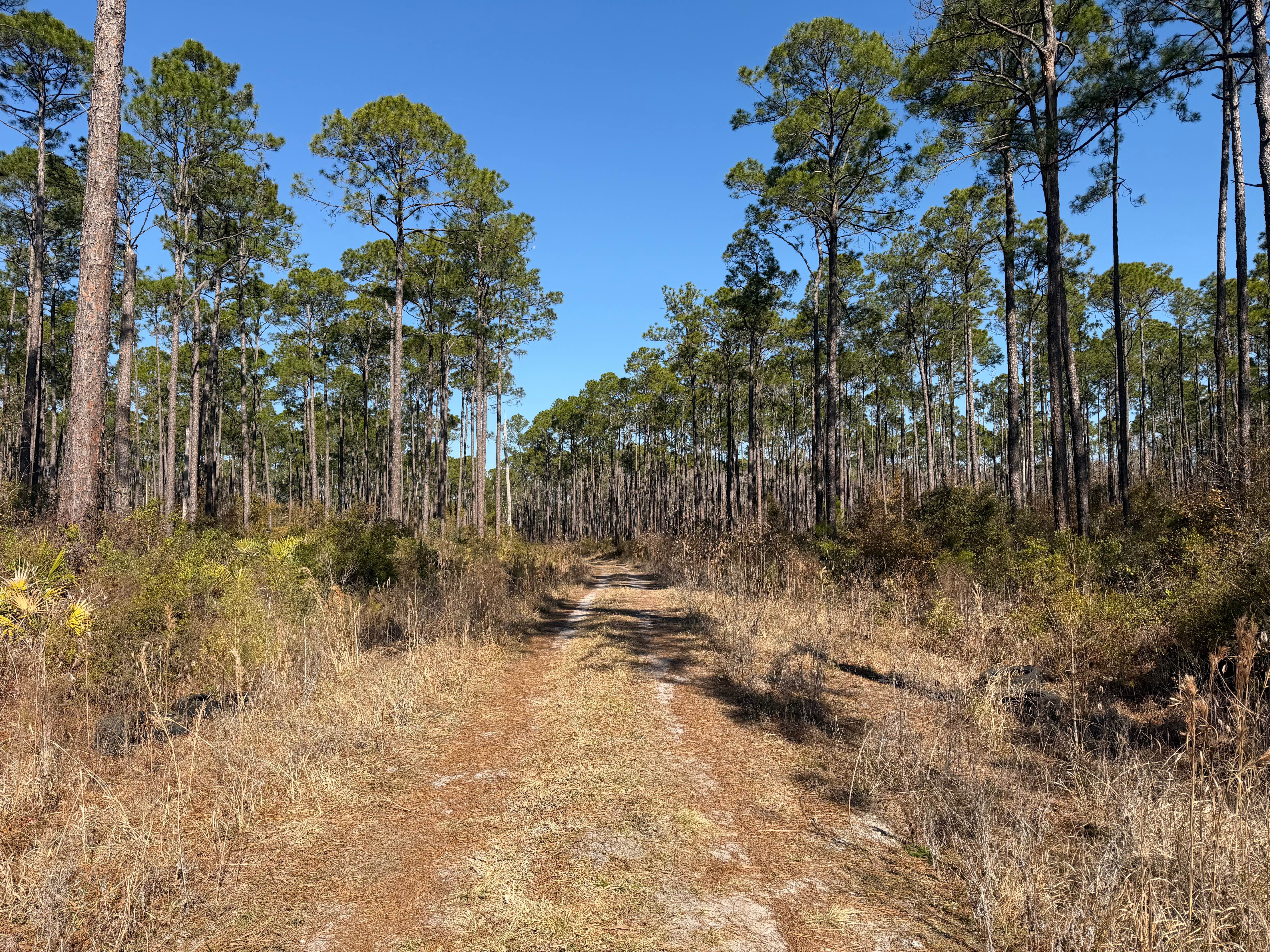
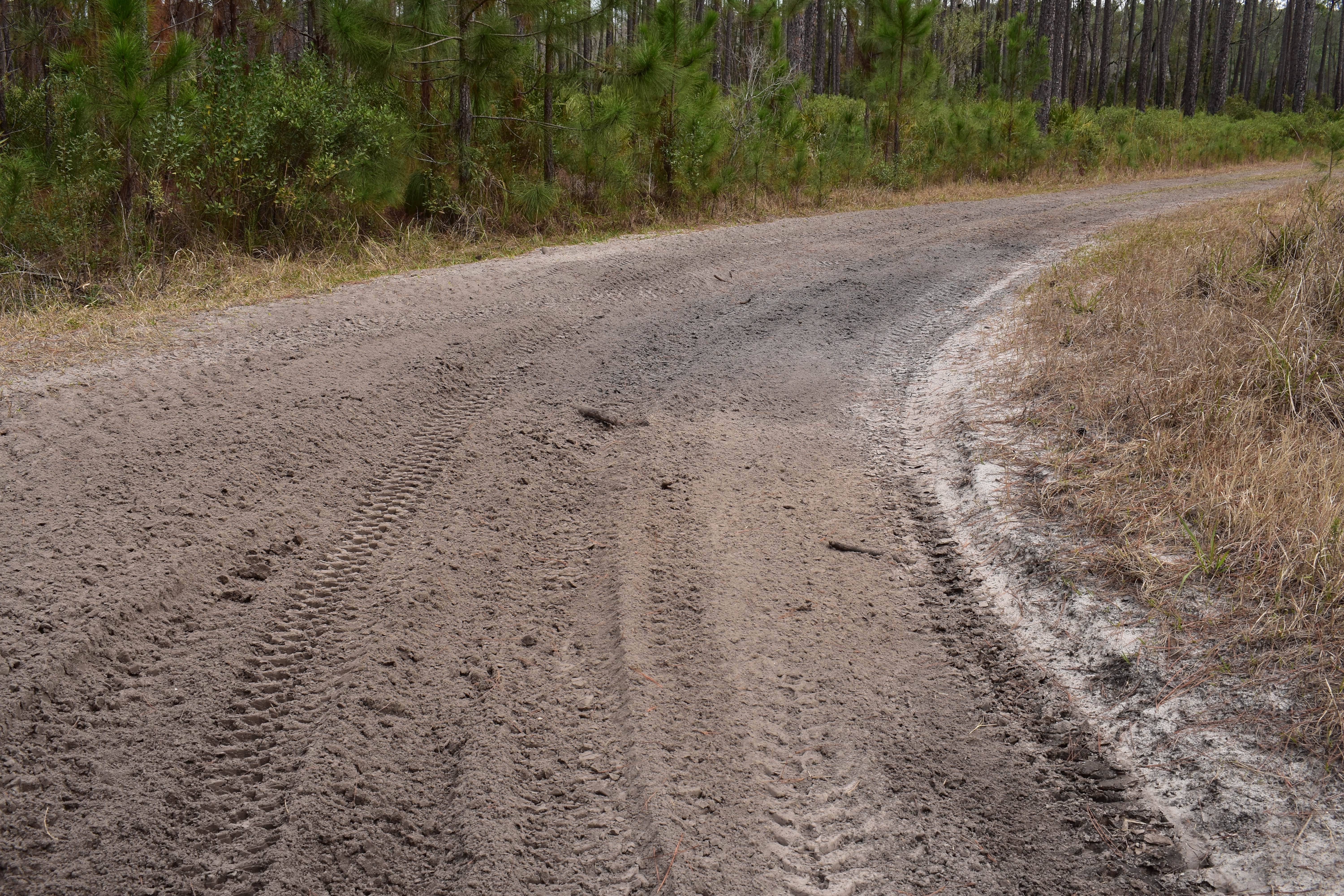
Trail Overview
This trail is located within the Green Swamp Wildlife Management Area (WMA), also known as Green Swamp East. Access is limited to specific periods of the year. Some of those periods require special quota permits issued by the Florida Fish and Wildlife Commission (FWC). Public access is limited to periods open for scouting or hunting, and during fishing and frogging season. Verify those dates with the FWC, as they may change each year or season. The area is also accessible during periods open to camping. Again, verify with the FWC website regarding those dates, as they are subject to change. Utilizing the area requires a WMA permit, which currently is $50 per individual. This permit is applied for and is obtained through the FWC. In addition to the WMA permit, certain periods, as mentioned above, may require the possession of a limited-entry quota permit. Only registered street-legal vehicles are permitted access when opened for vehicular traffic. Levee Road is a scenic dirt and mud trail leading to the northern end of the WMA and the southern boundary of the Richloam WMA. The trail ranges from compacted dirt trail, to loose fine sugar sand, to deep wet mud segments. The trail is mostly single vehicle wide, and the shoulders are narrow, soft dirt, or muddy areas. There are several inclines that have blind passages over the vertical curves. These inclines have steep/sharp side slopes, which limit segments to single vehicle clearance. Obstacles up to 12 inches may be encountered. Several segments of the Florida Trail join or parallel the trail.
Photos of Levee Road
Difficulty
The trail is mostly single vehicle wide, with potential for soft dirt or muddy areas, and the shoulders are narrow. There are several inclines that have blind passages over the vertical curves. These inclines have steep/sharp side slopes, which limit segments to single vehicle clearance. Obstacles up to 12 inches may be encountered.
Levee Road can be accessed by the following ride types:
- High-Clearance 4x4
- SUV
- SxS (60")
Levee Road Map
Popular Trails
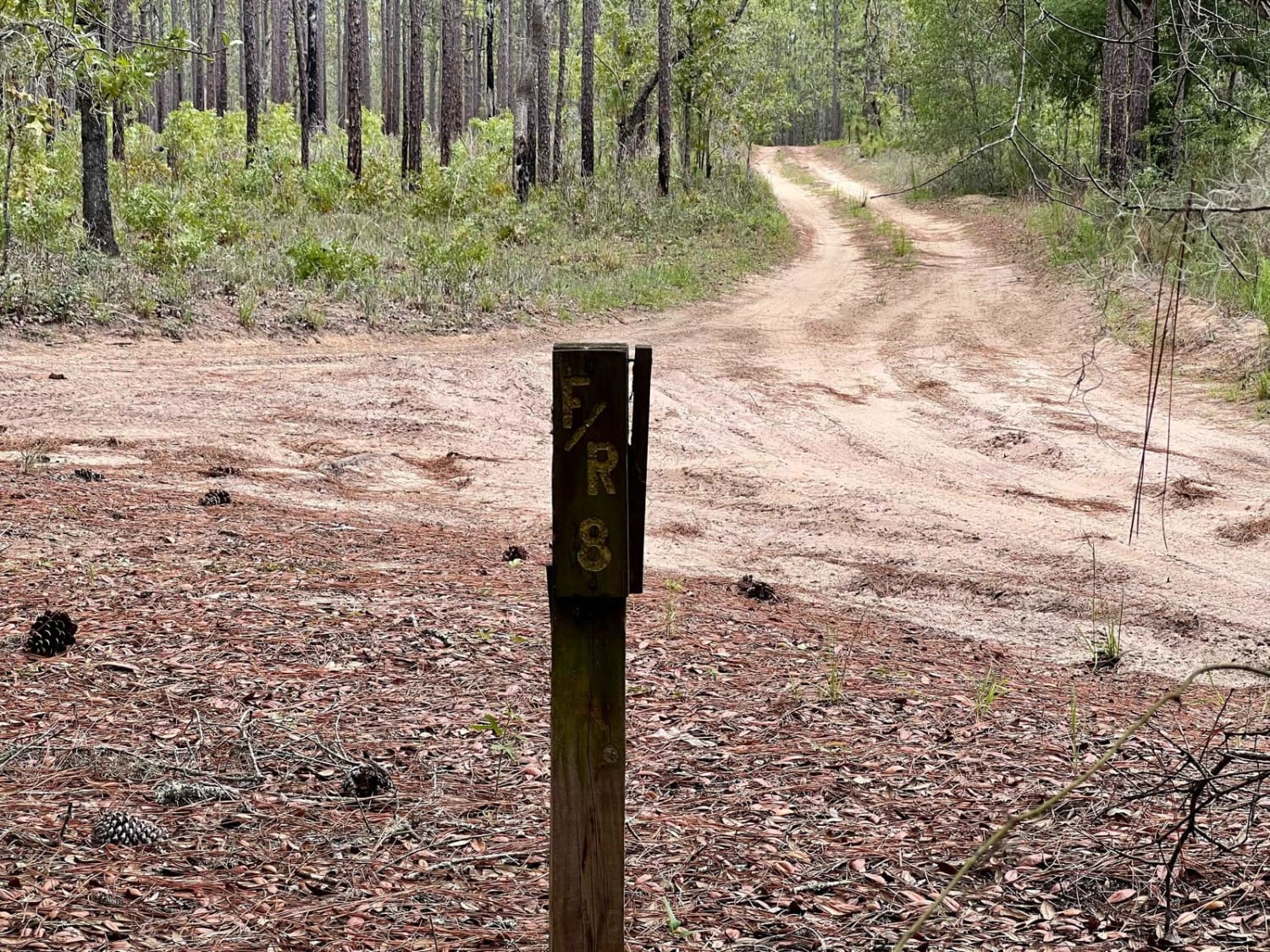
Crooms Wildlife Management | Trail 8
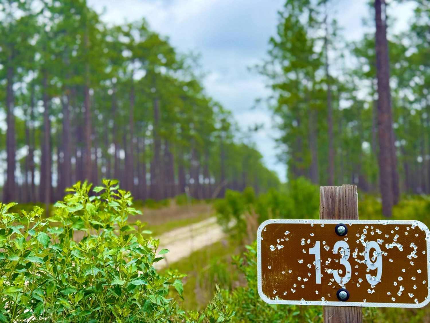
Martha - FS 139
The onX Offroad Difference
onX Offroad combines trail photos, descriptions, difficulty ratings, width restrictions, seasonality, and more in a user-friendly interface. Available on all devices, with offline access and full compatibility with CarPlay and Android Auto. Discover what you’re missing today!