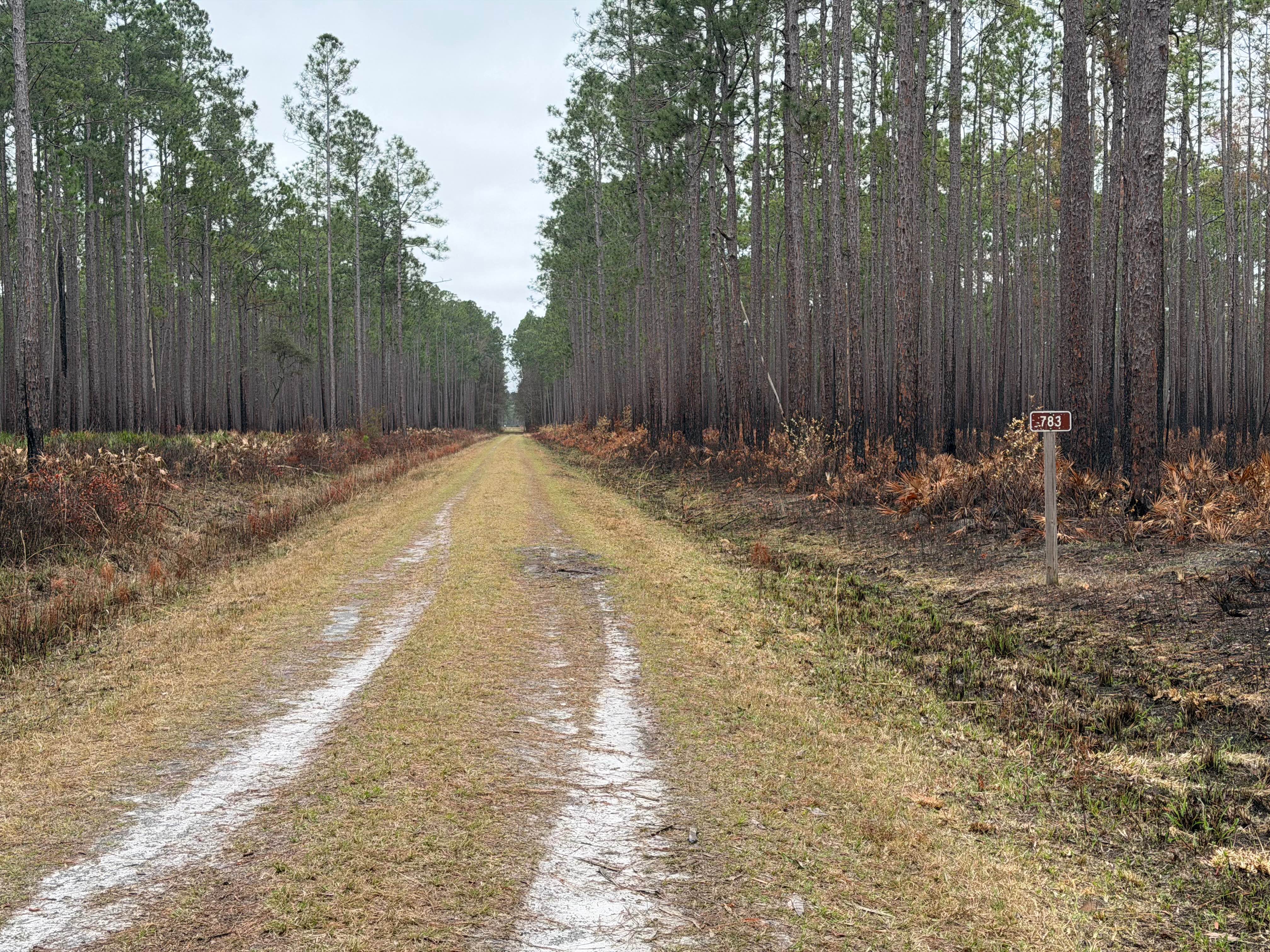
FR 783
Total Miles
0.9
Technical Rating
Best Time
Spring, Summer, Fall, Winter
Trail Type
Full-Width Road
Accessible By
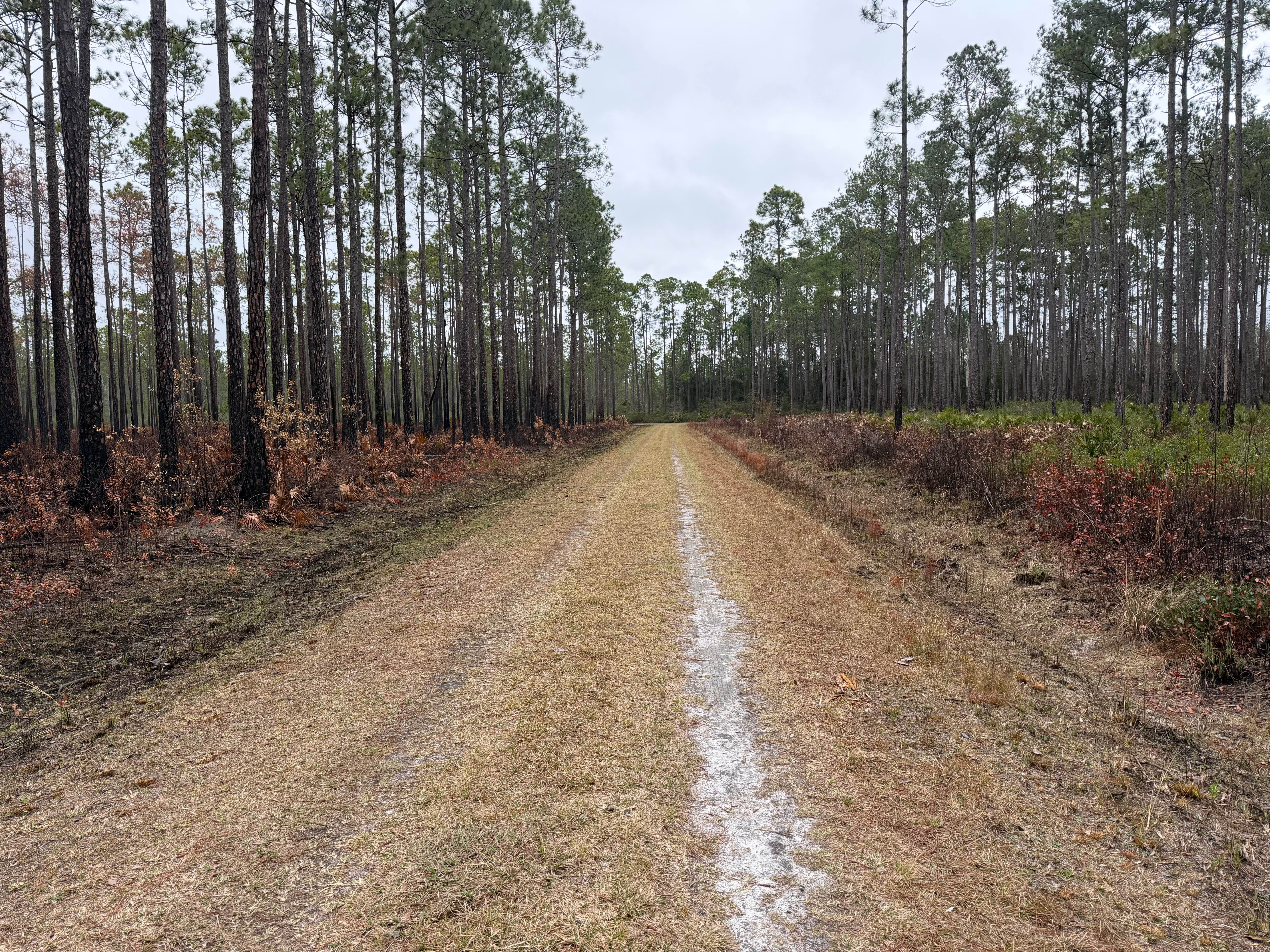
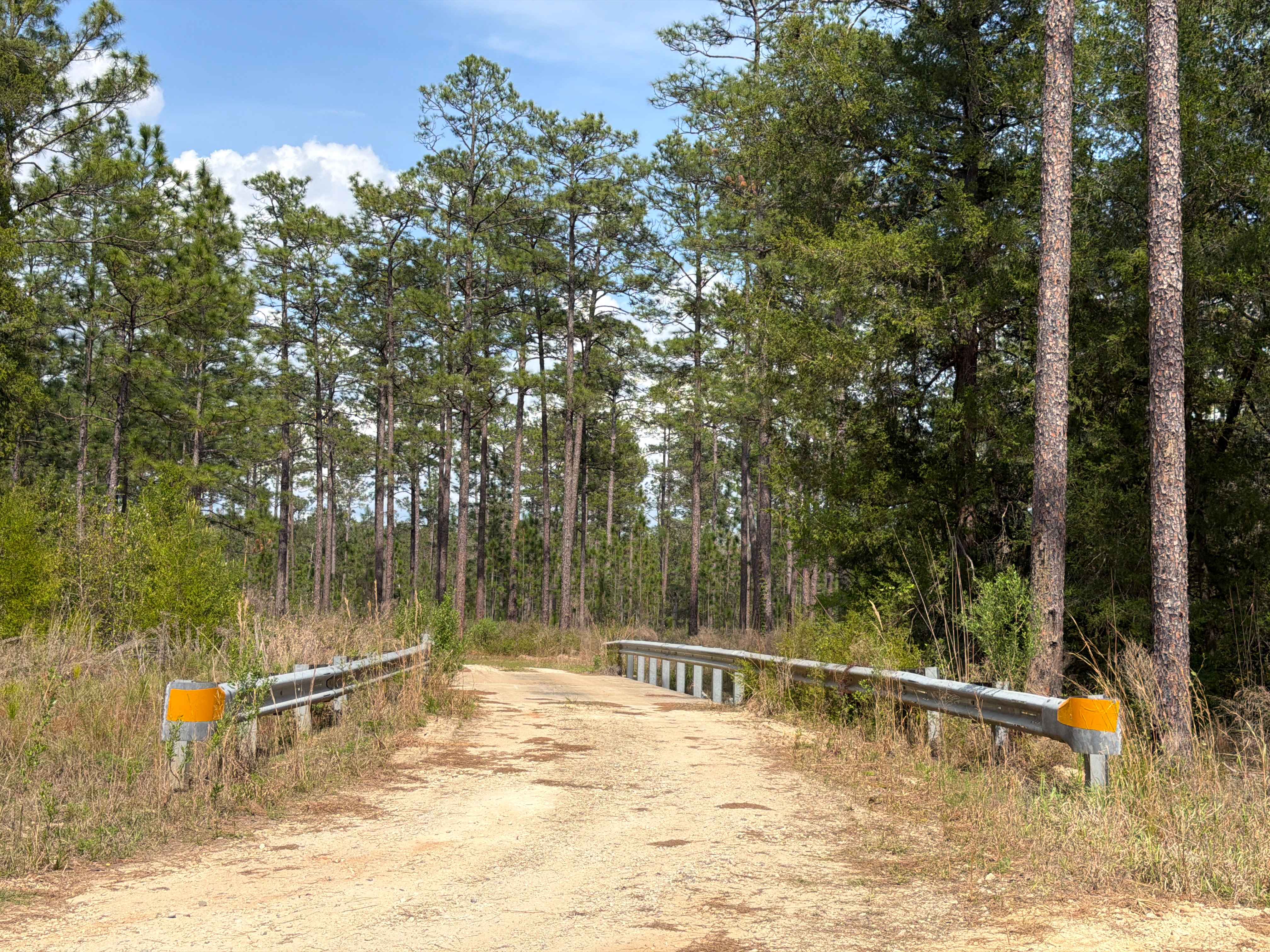
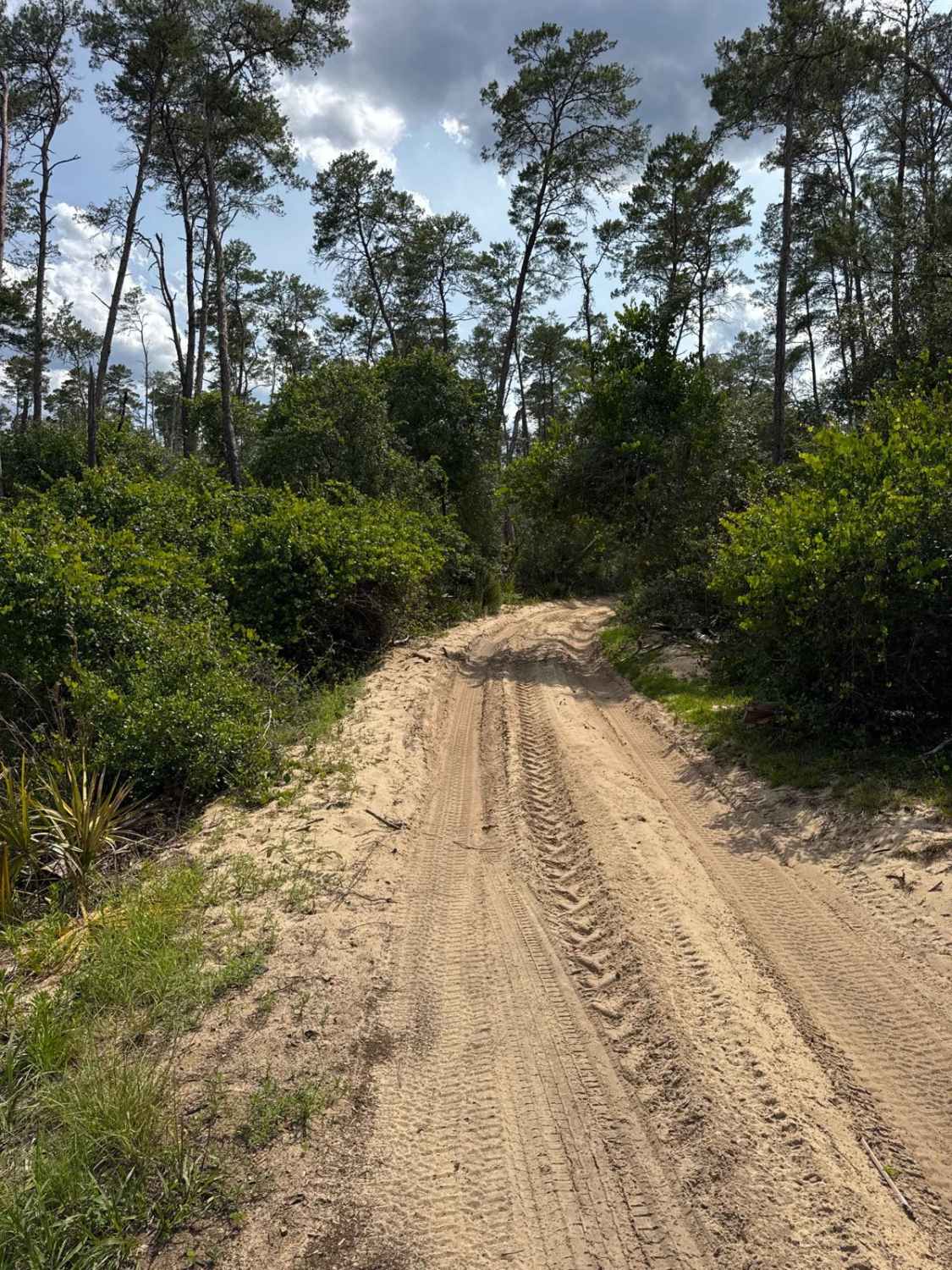
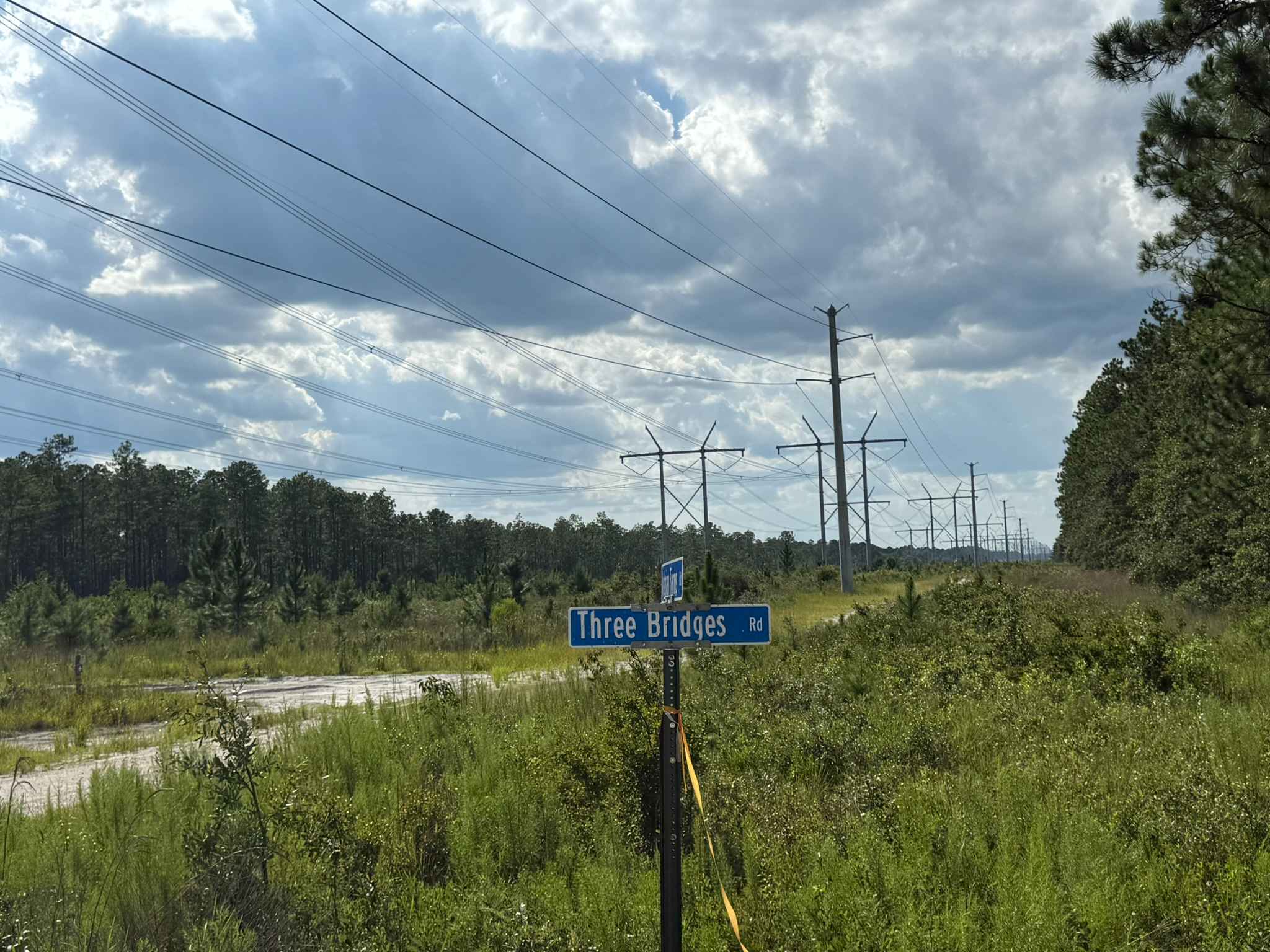
Trail Overview
This trail runs through the Osceola National Forest (NF) and Wildlife Management Area (WMA). The trail is open to public access year-round unless otherwise posted. The trail is open only to registered highway legal motor vehicles. All-terrain vehicles (ATV's), Off-Highway Vehicles (OHV's), Side-by-sides (SXS), and unlicensed or unregistered motorcycles are not permitted. The USDA Forest Service has published a free online "Motor Vehicle Use Map (MVUM), Osceola National Forest" that reflects and identifies this as one of the restricted access trails for highway legal vehicles only. There are no off-road vehicle (ORV) permits required, making Osceola NF the only NF in the state that does not require an ORV permit. Access to trails are year round, unless otherwise posted. The shoulders are somewhat steep and, when wet, can be slippery, so making the transition from asphalt to the grassed shoulder could be tricky during periods of rain or heavy moisture. This trail is mostly a single vehicle-wide trail, having shoulders and areas to pull off for passing. In some areas, the vegetation is tight and overgrown, and some pin striping may be experienced. Trail is a combination of sand and dirt with whoops, potholes, and minor off-camber sections that can contribute to some very minor cabin roll. Cabin roll would be almost enough to splash a drink in the cup holder, but nothing more serious. What the trail lacks in challenges, it makes up for in scenery and wildlife viewing. It leads through a variety of landscapes, ranging from pine/oak Hammocks, hardwood swamps, and wetland/marsh areas. Following rains and or storms, the trail may go unmaintained. The Department of Forestry (DNF) cautions on their website and published maps that the designation of a road or trail should not be interpreted as the trail is passable, actively maintained, or safe for travel. Seasonal weather may rapidly change the trail conditions. Following rains or storms, water crossings 12 inches or more are possible. Also, following rains or storms, areas of washes or fallen debris up to 18 inches or more are likely. Trail conditions can deteriorate rapidly and may limit access to only high-clearance 4WD. Following storms or rain events, trails may become impassable. Maintenance of trails is limited due to limited available resources. Following storms or seasonal weather events, the trails may go unmaintained.
Photos of FR 783
Difficulty
Unimproved, uneven, rutted dirt/rock road with potential for loose debris (e.g. rock, tree branches, washes, etc.). Water crossings less than 12 inches, areas of loose sand or sandy washes, potential for mudholes or obstacles up to 12 inches. The road has ledges and steep grades. The trail is mostly single vehicle wide with areas to pull off. Following storms or seasonal weather events, the trails may go unmaintained.
Status Reports
FR 783 can be accessed by the following ride types:
- High-Clearance 4x4
- SUV
- SxS (60")
- ATV (50")
- Dirt Bike
FR 783 Map
Popular Trails
Mashourn Forks Road
North Prairie West-East - ONF 170 AV-0.7

Fort Gates Ferry Road - ONF 29
Three Brides Road
The onX Offroad Difference
onX Offroad combines trail photos, descriptions, difficulty ratings, width restrictions, seasonality, and more in a user-friendly interface. Available on all devices, with offline access and full compatibility with CarPlay and Android Auto. Discover what you’re missing today!