Mashourn Forks Road
Total Miles
3.2
Technical Rating
Best Time
Spring, Fall, Winter
Trail Type
Full-Width Road
Accessible By
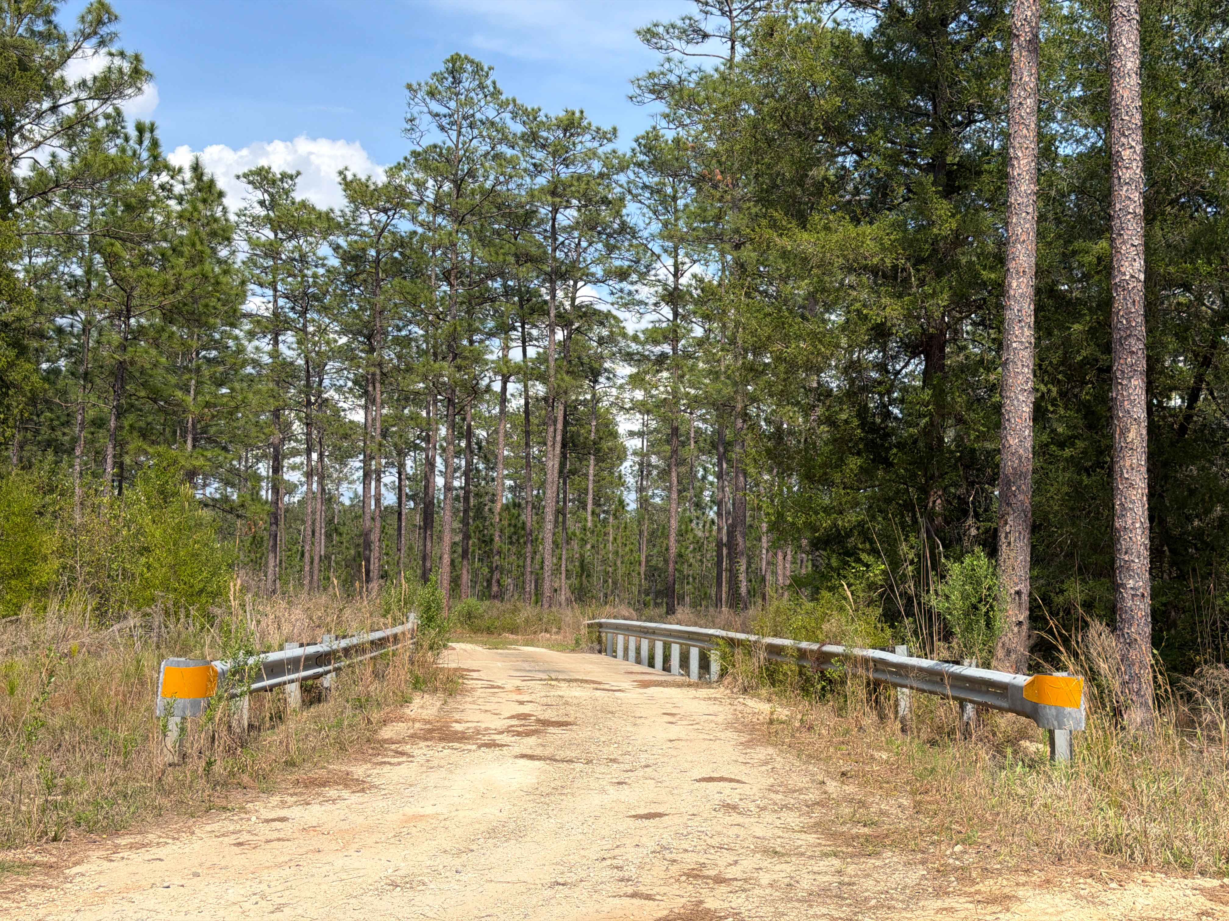
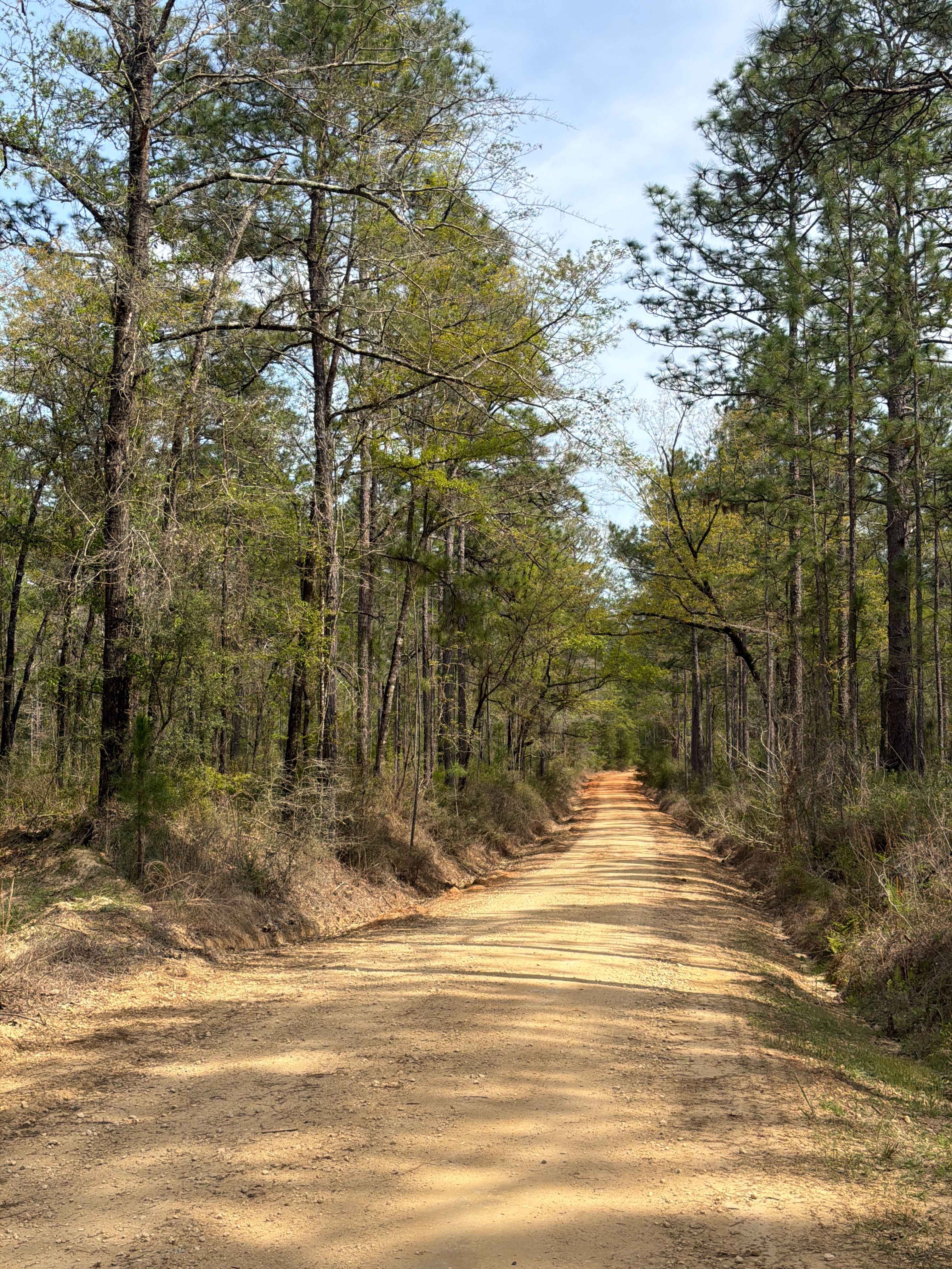
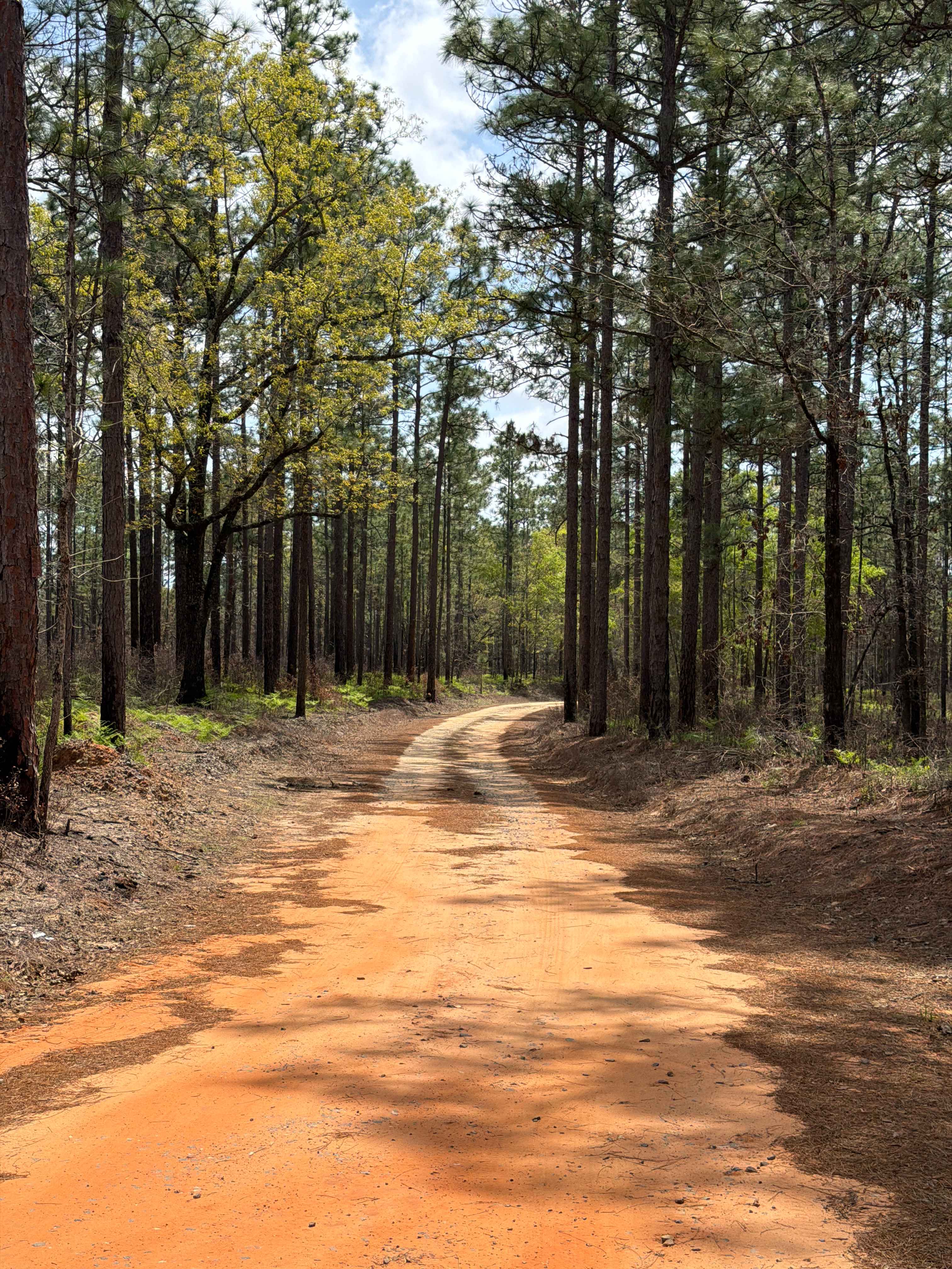
Trail Overview
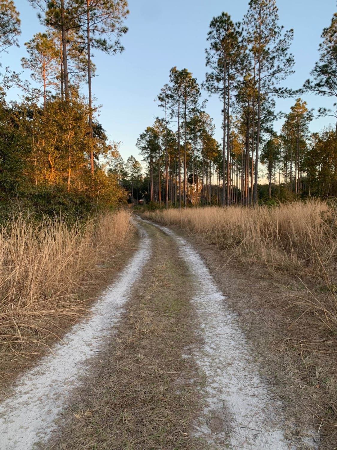
Mashourn Forks Road starts at Bullard Church Road and builds a loop with Forest Road R 17 if you don't want to turn around. It is a 3-mile trail that takes you through the northeast part of the Blackwater River State Forest along the west side of the Blackwater River and gives you access to a beautiful camping and swimming spot. The road conditions are a mixture of packed sand, loose sand, and some deep holes that can turn into 2-foot deep mud holes after rainy days. The road is not always wide enough for two vehicles to pass. 4WD and high clearance are recommended. All vehicles must be street legal. Please be aware that the cellphone reception is weak and the next gas station might be far. Blackwater River State Forest is one of the largest State Forests in Florida and is named for the Blackwater River. It is located in the Florida Panhandle, northeast of Pensacola.
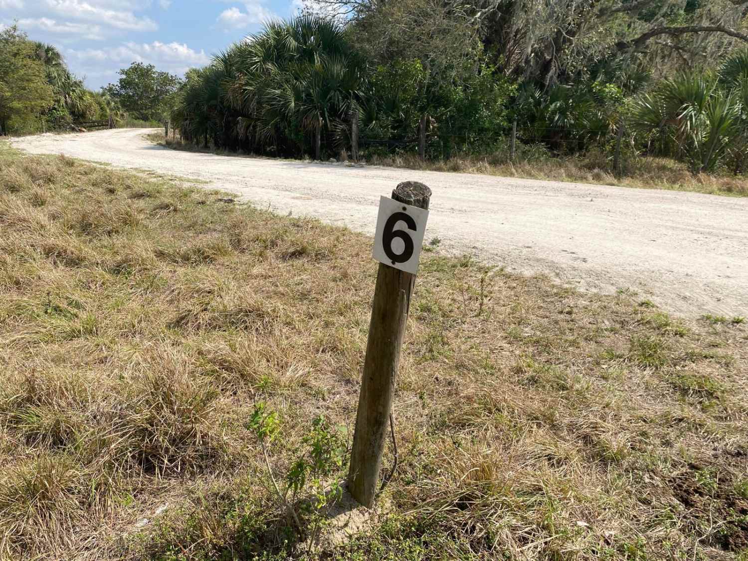
Photos of Mashourn Forks Road
Difficulty
This is an easy but narrow, non-technical trail unless after heavy rain.
History
Blackwater River is one of the few shifting sand-bottom streams that remains in its natural state for nearly its entire length. The topography of the forest is gently rolling, and various natural communities are represented. Blackwater River State Forest is known for its longleaf pine/wiregrass ecosystem, which, in combination with the Conecuh National Forest to the north and Eglin Air Force Base to the south, is the largest contiguous ecological community of this type in the world. Longleaf pines once covered over 60 million acres in the Southeastern Coastal Plains of the United States. Less than 5 percent of the original acreage now remains. Longleaf pine communities are rich in plant and animal life, including many species classified as endangered, threatened, or of special concern.
Status Reports
Mashourn Forks Road can be accessed by the following ride types:
- High-Clearance 4x4
- SUV
- SxS (60")
- ATV (50")
- Dirt Bike
Mashourn Forks Road Map
Popular Trails
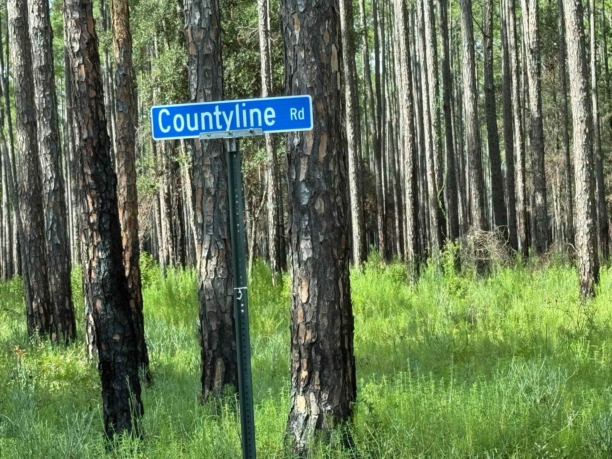
Countyline Road
Lochloosa WCA North
Hurricane Lake North R 171
The onX Offroad Difference
onX Offroad combines trail photos, descriptions, difficulty ratings, width restrictions, seasonality, and more in a user-friendly interface. Available on all devices, with offline access and full compatibility with CarPlay and Android Auto. Discover what you’re missing today!