CC Road
Total Miles
3.1
Technical Rating
Best Time
Spring, Summer, Fall, Winter
Trail Type
Full-Width Road
Accessible By
Trail Overview
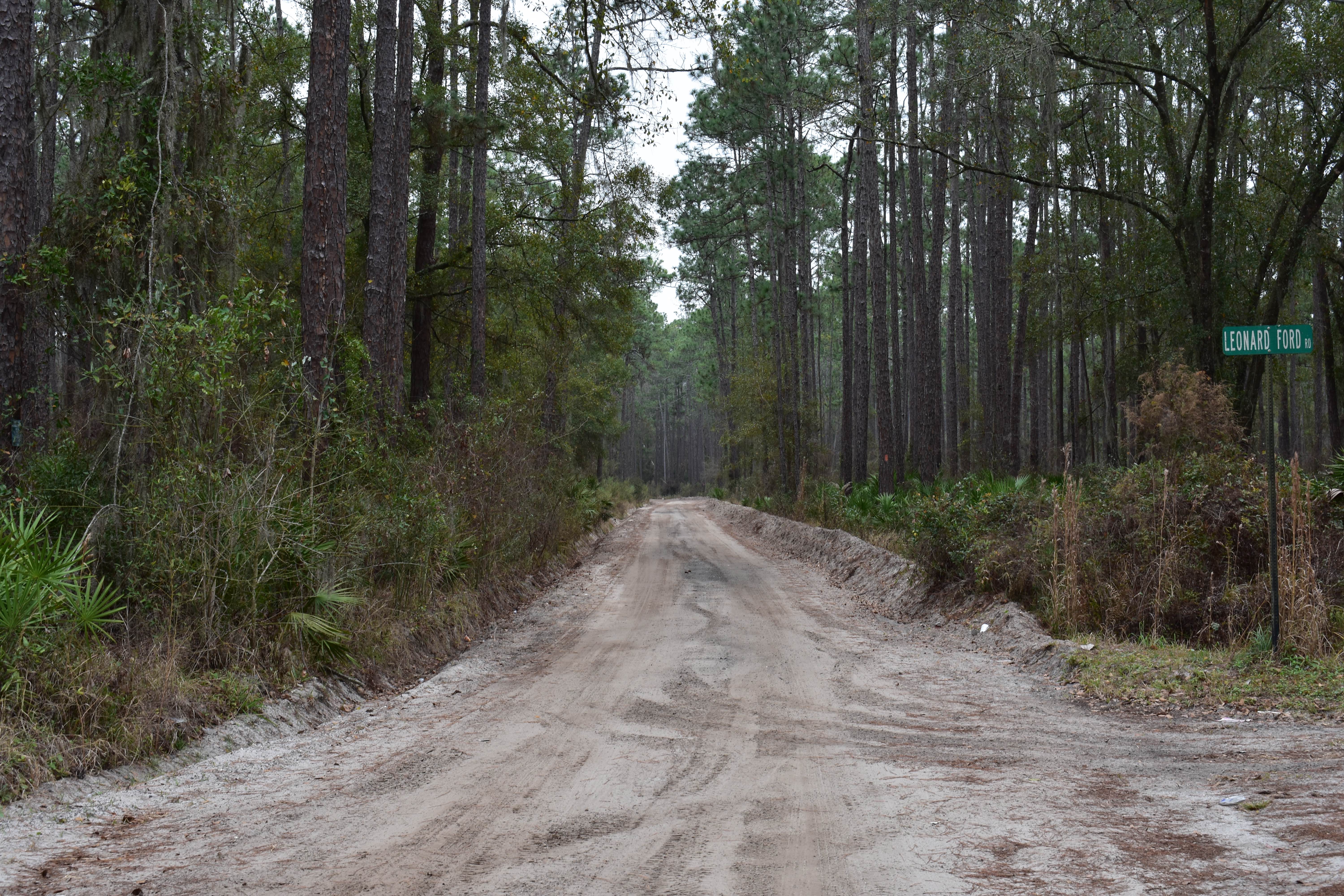
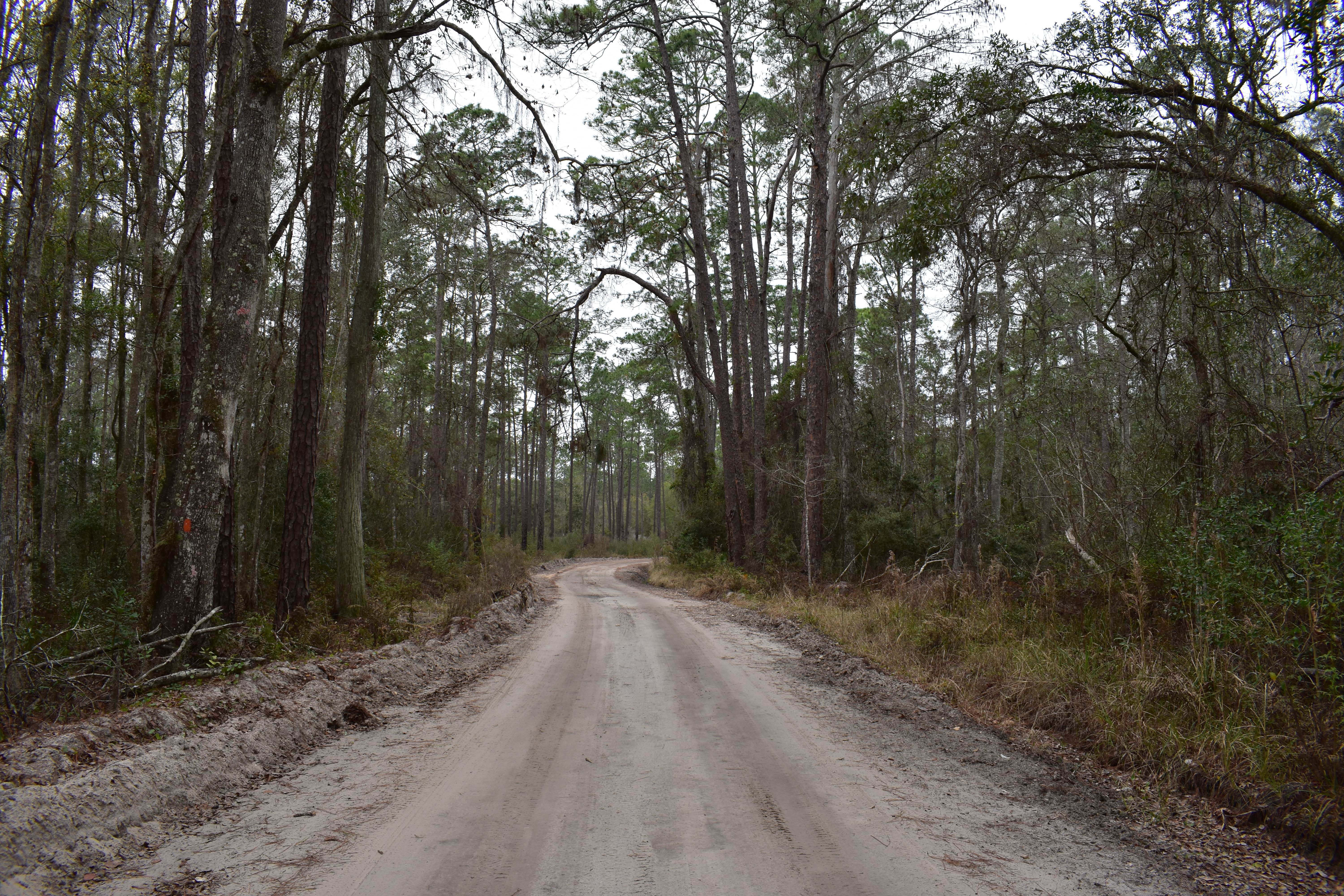
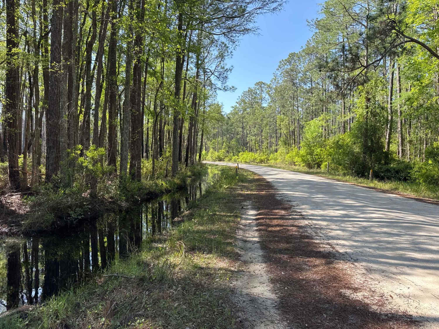
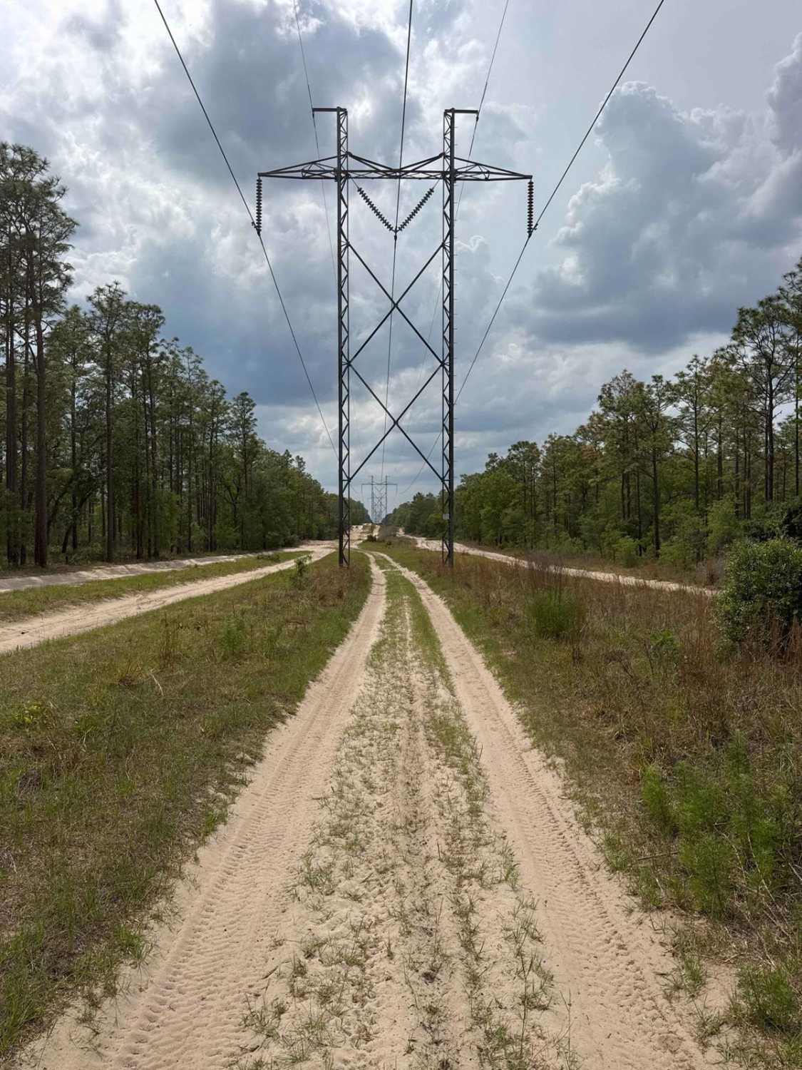
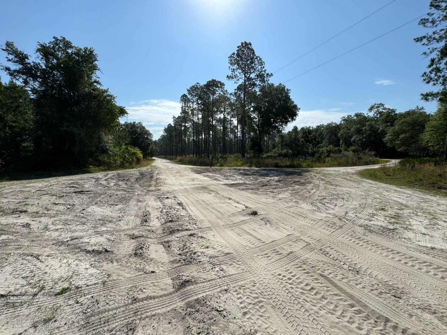
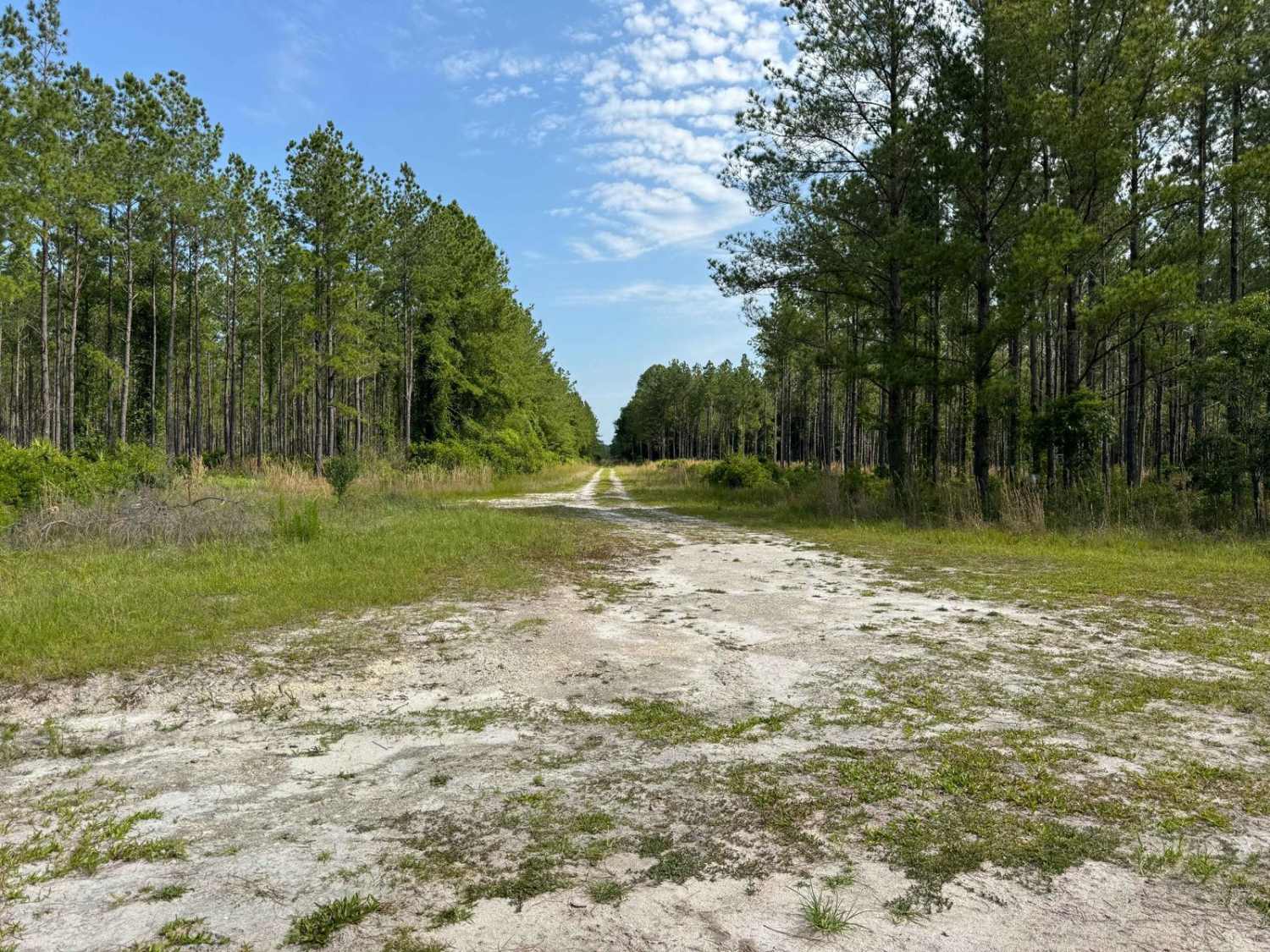
This trail borders the Osceola National Forest (NF), the Osceola Wildlife Management Area (WMA), and private forest lands. The trail is a public easement/county right of way that is open to public access year-round. Being a county/public easement, the trail is only open to registered/licensed street-legal vehicles and motorcycles. Check with the local authorities prior to accessing this trail with an unregistered or non-licensed off road/off-highway (OHV) vehicle. No permit fees are required for this trail. This trail is primarily graded sand. Some of the areas are rutted and soft. Navigating through those areas in a low clearance or 2WD vehicle might be challenging, especially following rains or periods of prolonged drought. These conditions may increase rutting or the softness of the sand, which would require high clearance or 4WD. The width of the trail is mostly two vehicles wide, and the edges can be soft and rutted. The trail has limited traffic, so passing is not a major issue. There are some whoops and grade changes in addition to the areas of soft material and ruts. Wildlife is very prevalent, and multiple occurrences of deer and hogs crossed the trail. Rating this trail a 3 based on the rating criteria; however, for the majority of the year, it would be a 1 to 2. Safe preparation is to plan for a 3 in difficulty due to possible condition changes depending on the season, but in reality, expect a 1 in difficulty once on the trail. The trail terminates at the powerline crossing.
Photos of CC Road
Difficulty
Uneven, rutted dirt trail road with potential for loose debris (e.g. rock, tree branches, washes, etc.). Seasonal water crossings less than 12 inches, areas of loose sand or sandy washes, potential for mudholes or obstacles (e.g. downed trees, stumps, rocks, etc.) up to 12 inches. The road is mainly two vehicles wide, having soft and rutted edges. Following rain and storms trail is likely to go unmaintained.
Status Reports
CC Road can be accessed by the following ride types:
- High-Clearance 4x4
- SUV
- Dirt Bike
CC Road Map
Popular Trails
Coleman - Osceola NF 215
Wandering Wiregrass - ONF 10
Fish Camp Road South - Lochloosa WMA West
Grove Park WMA West Trail
The onX Offroad Difference
onX Offroad combines trail photos, descriptions, difficulty ratings, width restrictions, seasonality, and more in a user-friendly interface. Available on all devices, with offline access and full compatibility with CarPlay and Android Auto. Discover what you’re missing today!