West Pinos Travers
Total Miles
10.3
Technical Rating
Best Time
Spring, Summer, Fall
Trail Type
Full-Width Road
Accessible By
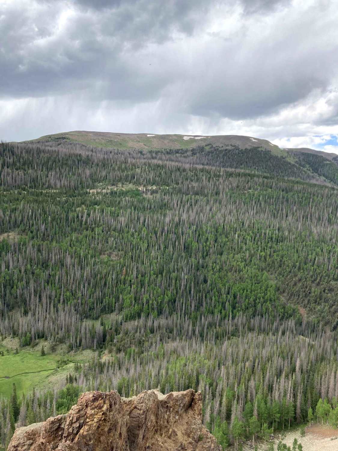
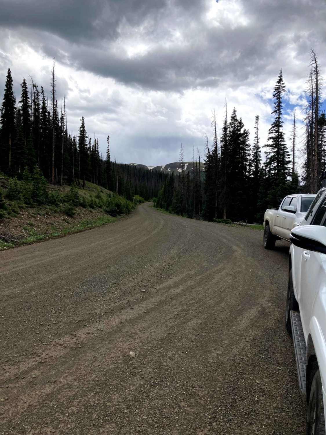
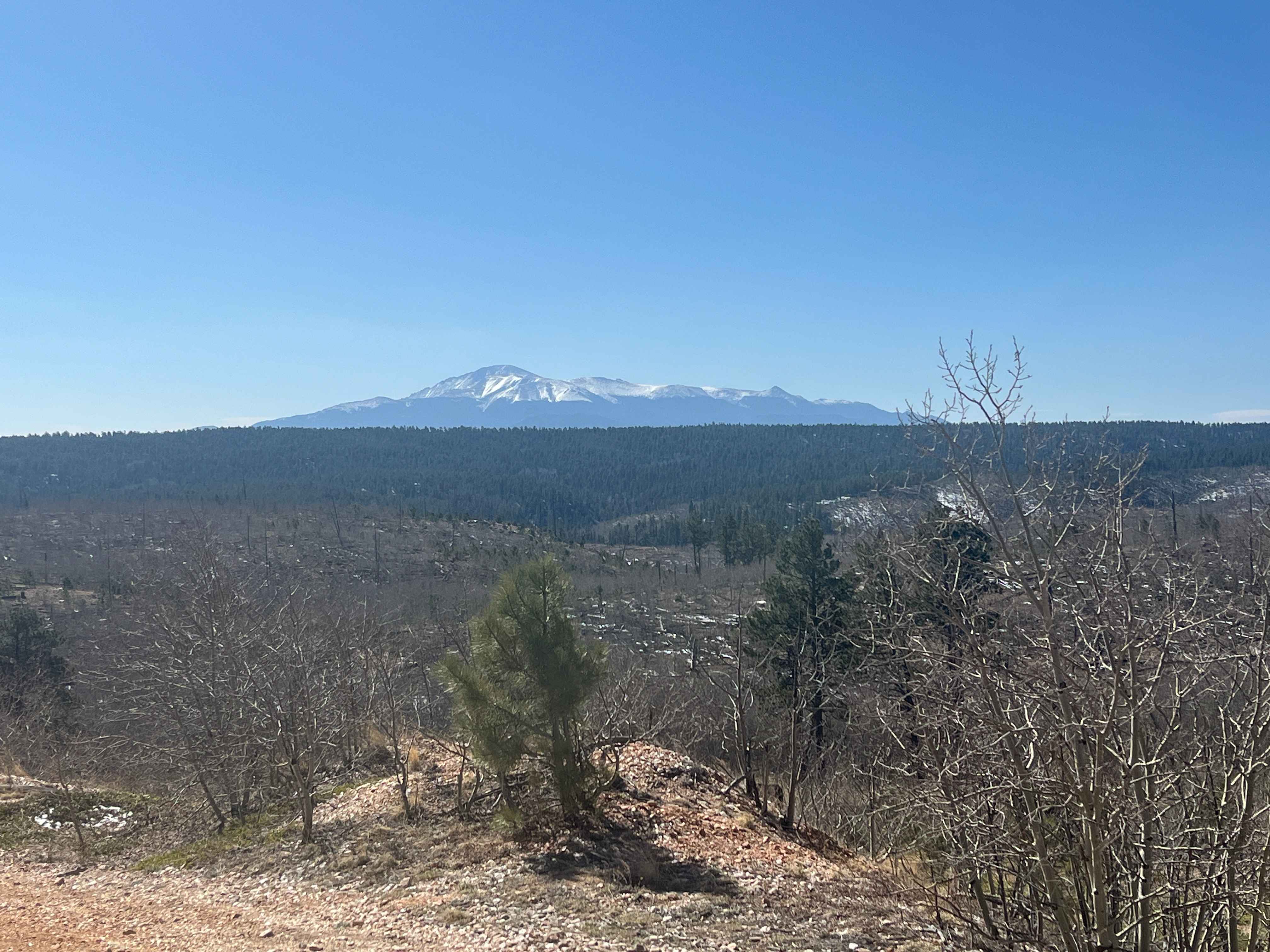
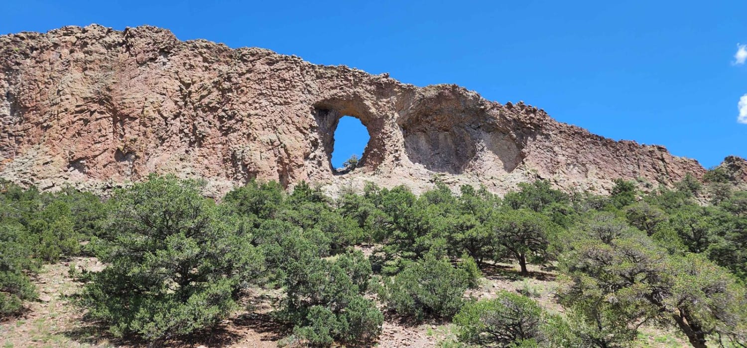
Trail Overview
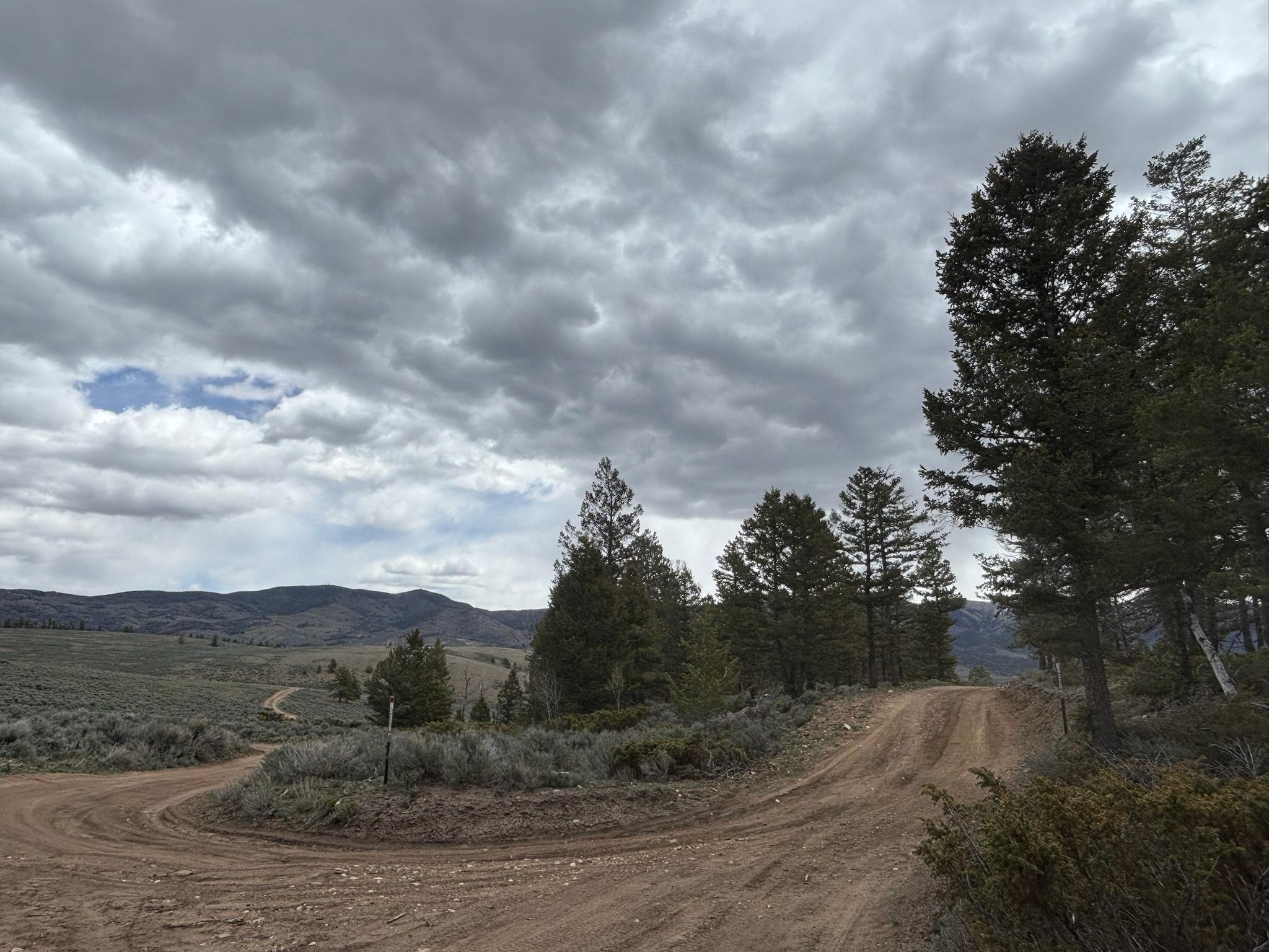
Similar to the other trails in the area, West Pinos Travers is graded and an easy trail that almost any car could get up. The trail connects between Pinos Creek and Summitville Roads and Beaver Creek Trail, sticking to above 11,000 ft most of the time. There are lots of good spots for camping along the trail and great views.
Photos of West Pinos Travers
Difficulty
The road is graded and very easy with minimal large climbs, it can be a little washed out in the early season, though, so wait till the middle of summer if a small car wants to complete the trail, as it could be rutted still before that point.
Status Reports
West Pinos Travers can be accessed by the following ride types:
- High-Clearance 4x4
- SUV
- SxS (60")
- ATV (50")
- Dirt Bike
West Pinos Travers Map
Popular Trails

Bear Creek ATV 709
Raghorn Road
The onX Offroad Difference
onX Offroad combines trail photos, descriptions, difficulty ratings, width restrictions, seasonality, and more in a user-friendly interface. Available on all devices, with offline access and full compatibility with CarPlay and Android Auto. Discover what you’re missing today!