Tomichi Pass
Total Miles
16.3
Technical Rating
Best Time
Summer, Fall
Trail Type
High-Clearance 4x4 Trail
Accessible By
Trail Overview
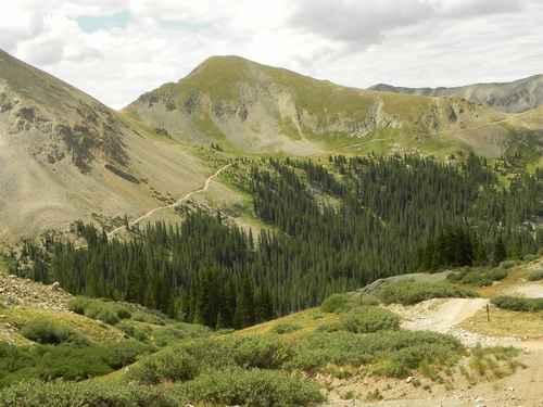
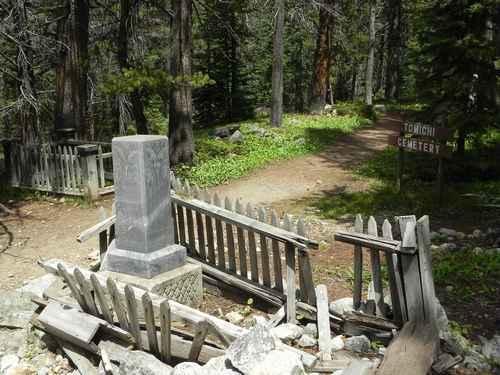
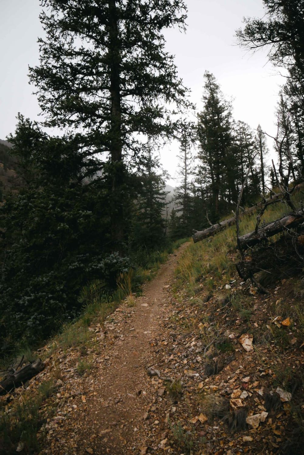
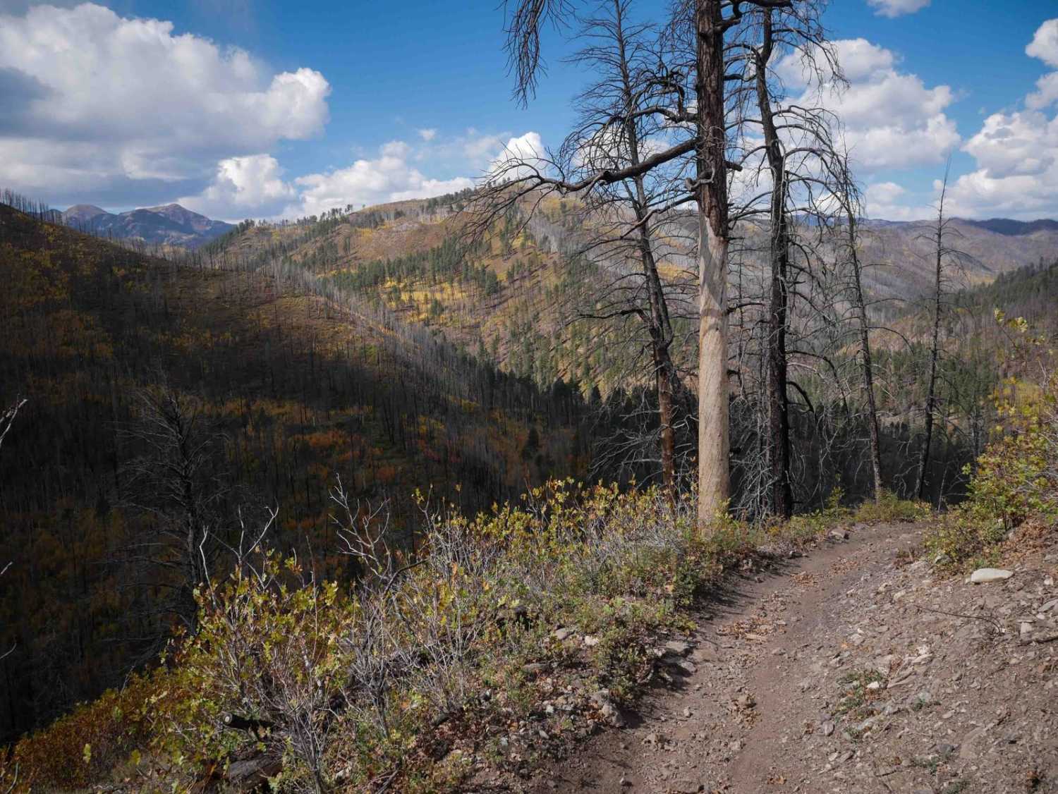
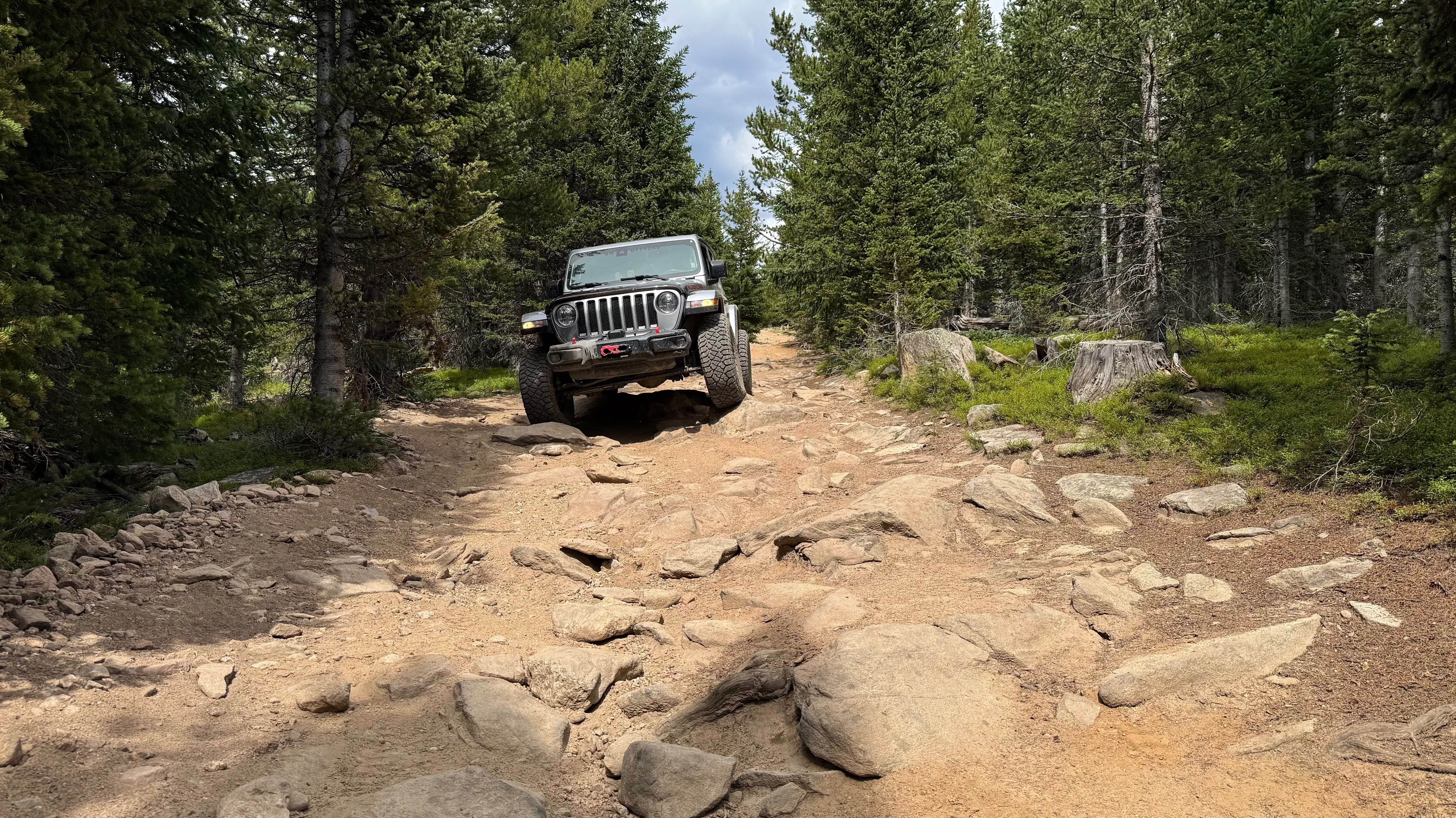
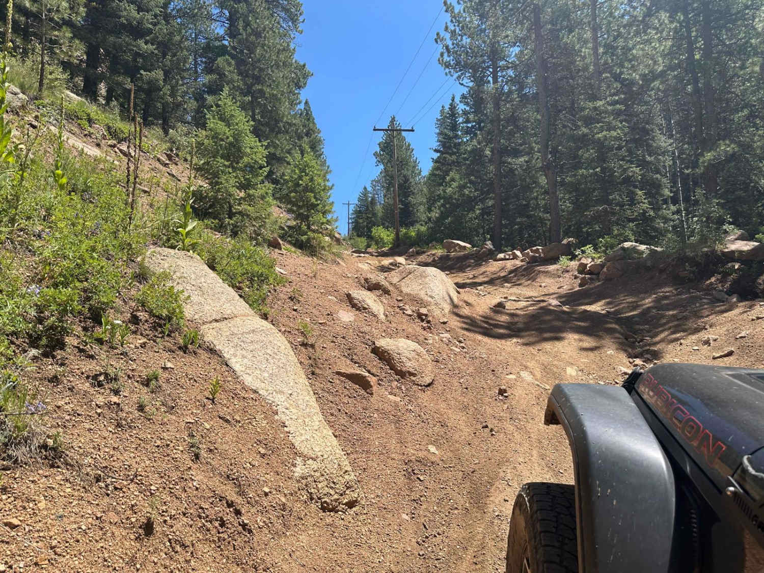
Tomichi Pass divides Middle Quartz Creek to the north from Tomichi Creek to the south. From Brittle Silver Basin at the north end, you reach the top of Tomichi Pass quickly. The 4WD road comes out of Brittle Silver Basin near a mine and heads up a narrow ledge road toward Tomichi Pass between Paywell Mountain and Central Mountain. As you climb higher past the timberline, the Jeep trail becomes a single lane. Be aware of oncoming traffic. The top of Tomichi Pass is short with very little room for vehicles. You will have a great view of the west side of Hancock Pass and Middle Quartz Creek. Continuing over the pass, the road follows a valley down to the timberline and ties in with the Tomichi Creek drainage. At the southern end of Tomichi Pass is the old Tomichi Cemetery.
Photos of Tomichi Pass
Difficulty
This is a narrow and loose shelf road with exposure.
Status Reports
Tomichi Pass can be accessed by the following ride types:
- High-Clearance 4x4
- SxS (60")
- ATV (50")
- Dirt Bike
Tomichi Pass Map
Popular Trails
Miners Creek Trail
Nunn Creek Cutoff Road
Fern Creek Road
The onX Offroad Difference
onX Offroad combines trail photos, descriptions, difficulty ratings, width restrictions, seasonality, and more in a user-friendly interface. Available on all devices, with offline access and full compatibility with CarPlay and Android Auto. Discover what you’re missing today!