Speed Ridge
Total Miles
1.2
Technical Rating
Best Time
Fall, Spring
Trail Type
50" Trail
Accessible By
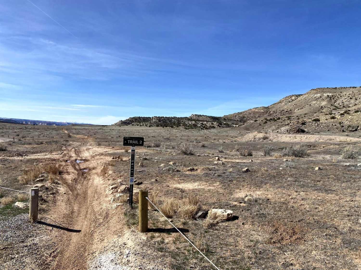
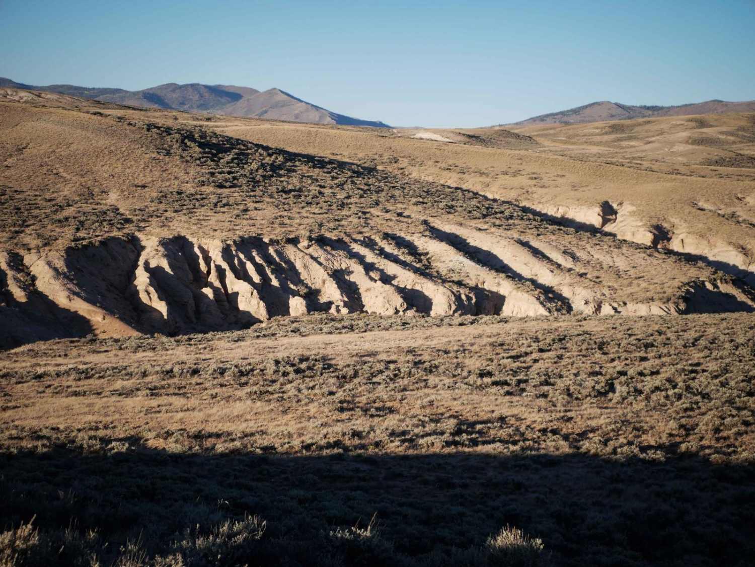
Trail Overview
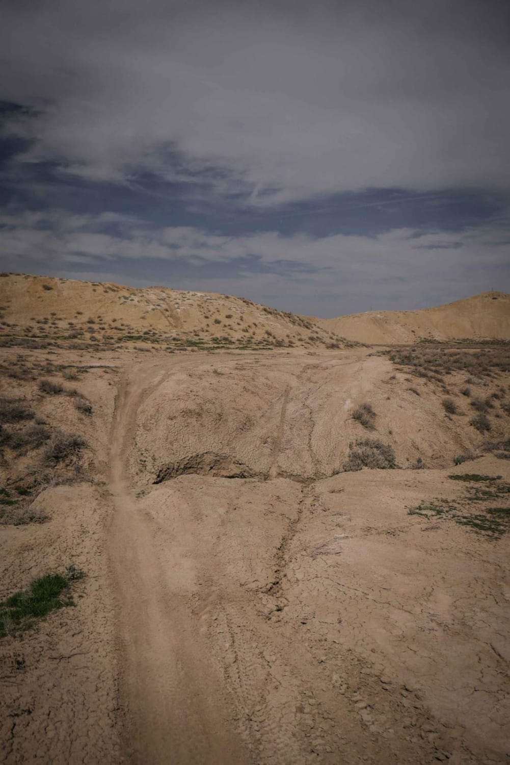
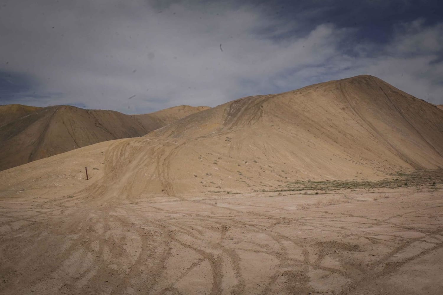
Speed Ridge is a short ATV trail on an adobe ridge line in the Flat Top - Peach Valley Recreation Area. The trail is two-track width, but not overly wide, with some whoops. It starts from Elephant Skin Road near the staging area and goes until it intersects with Kings Ditch. It starts in the valley below the adobe hills, made up of soft clay soil with some green vegetation. There are two ditch crossings that are more narrow and washed out with one off-camber section that could be difficult for an ATV. Then it climbs up the adobe hills and has gradual small hill climbs and descends along the ridge line. The trail looks like it's mostly ridden by dirt bikes and would be very easy on a dirt bike, but could be slightly more difficult for an ATV.
Photos of Speed Ridge
Difficulty
There are two ditch crossings that are more narrow and washed out with one off-camber section that could be difficult for an ATV. Easy trail for a dirt bike.
Status Reports
Speed Ridge can be accessed by the following ride types:
- ATV (50")
- Dirt Bike
Speed Ridge Map
Popular Trails
The onX Offroad Difference
onX Offroad combines trail photos, descriptions, difficulty ratings, width restrictions, seasonality, and more in a user-friendly interface. Available on all devices, with offline access and full compatibility with CarPlay and Android Auto. Discover what you’re missing today!