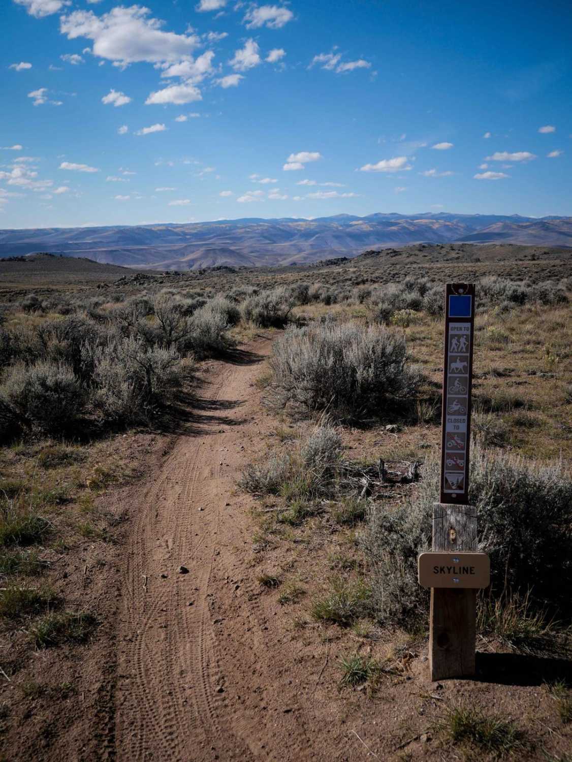
Skyline
Total Miles
1.9
Technical Rating
Best Time
Spring, Summer, Fall
Trail Type
Single Track
Accessible By
Trail Overview
Skyline is a 2-mile trail that goes south to north through Hartman Rocks, with a bailout part of the way through it. The south end starts out very easy, as a fast trail through the flat sagebrush desert terrain. There's one rocky obstacle after the Connector trail which is a one-foot-tall blunt rock ledge that you have to ride up. As it goes north there are a few sections that have more loose rock in the trail, but it's still mostly easy with smooth dirt through sagebrush.
Photos of Skyline

Difficulty
The majority of this trail is a 2 difficulty, as it is mostly fast and flowy through flat sagebrush desert, but there is one rock obstacle that makes it a bit harder. The obstacle is a 1 foot rock ledge that is more blunt and will require some experience to get up. You can take an even harder line up the steepest part of the obstacle if looking for more of a challenge.
Status Reports
Skyline can be accessed by the following ride types:
- Dirt Bike
Skyline Map
Popular Trails

Iron Chest Mine
Curecanti Creek Road FR 720
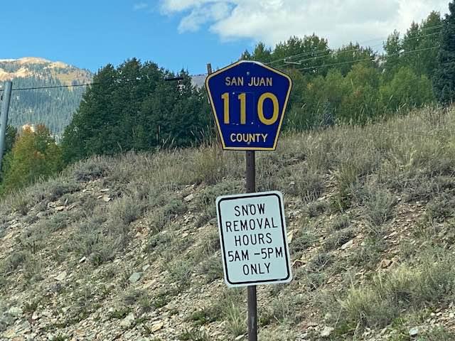
County Road 110
The onX Offroad Difference
onX Offroad combines trail photos, descriptions, difficulty ratings, width restrictions, seasonality, and more in a user-friendly interface. Available on all devices, with offline access and full compatibility with CarPlay and Android Auto. Discover what you’re missing today!