Rocky Canyon
Total Miles
4.5
Technical Rating
Best Time
Summer, Fall
Trail Type
50" Trail
Accessible By
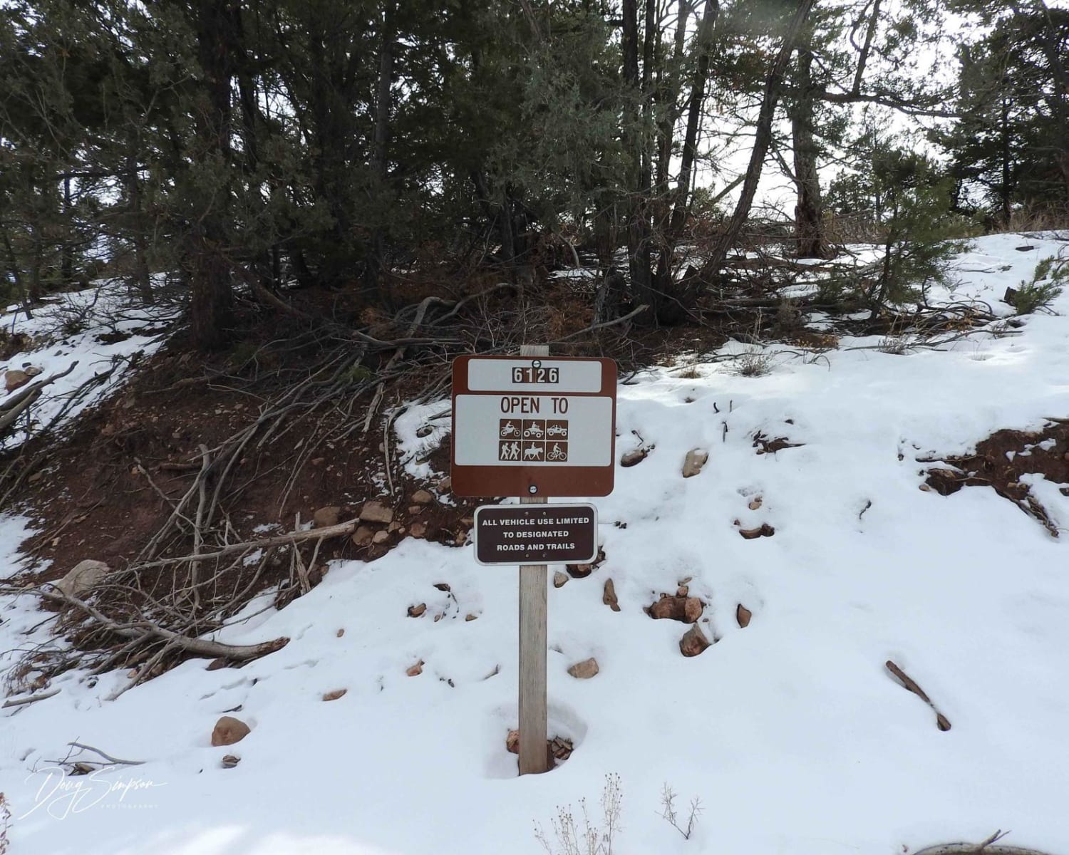
Trail Overview
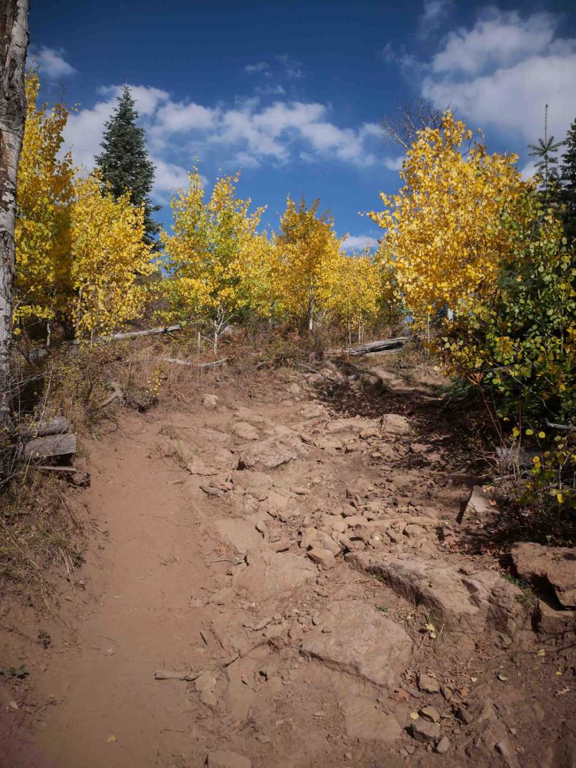
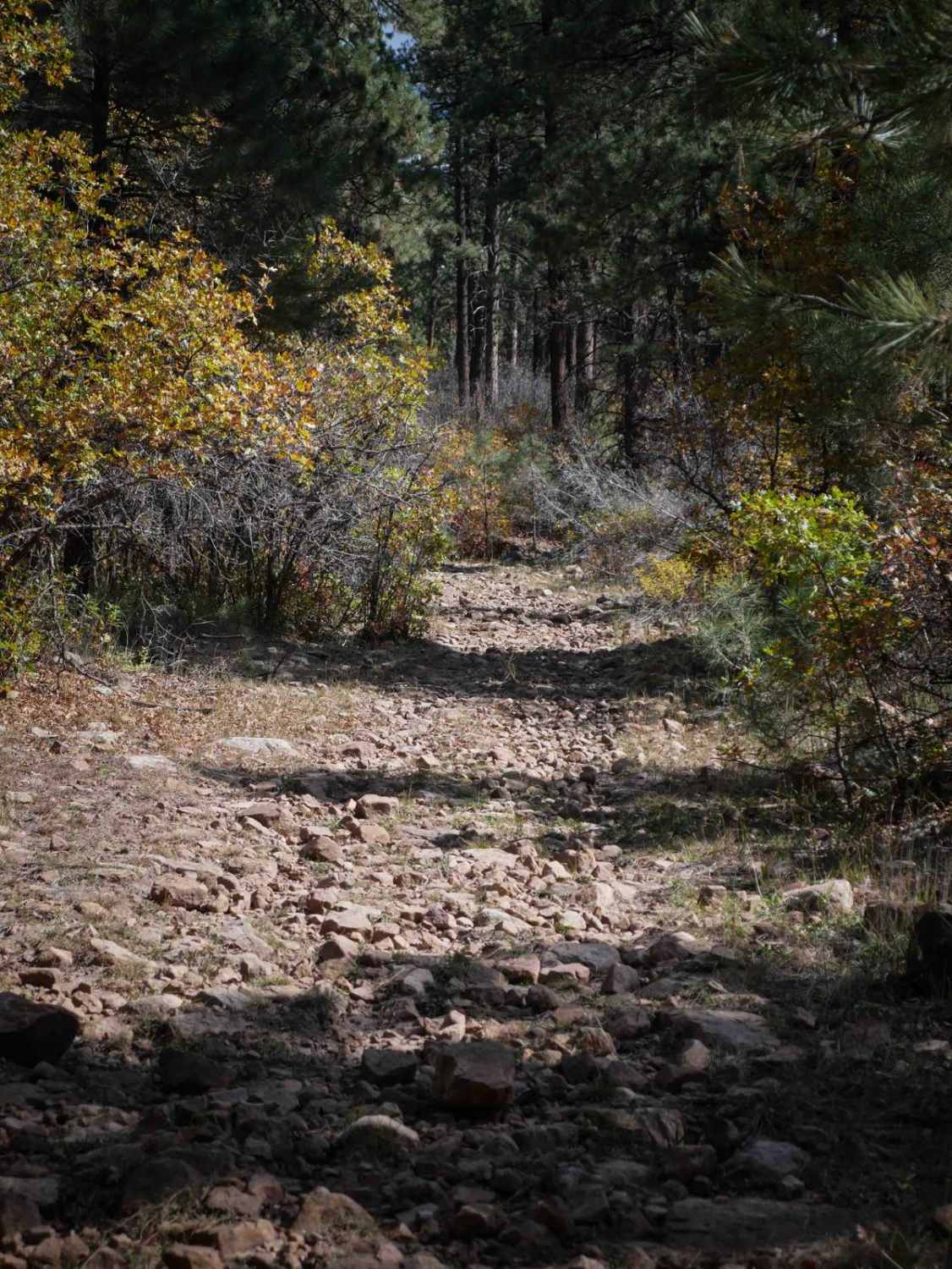
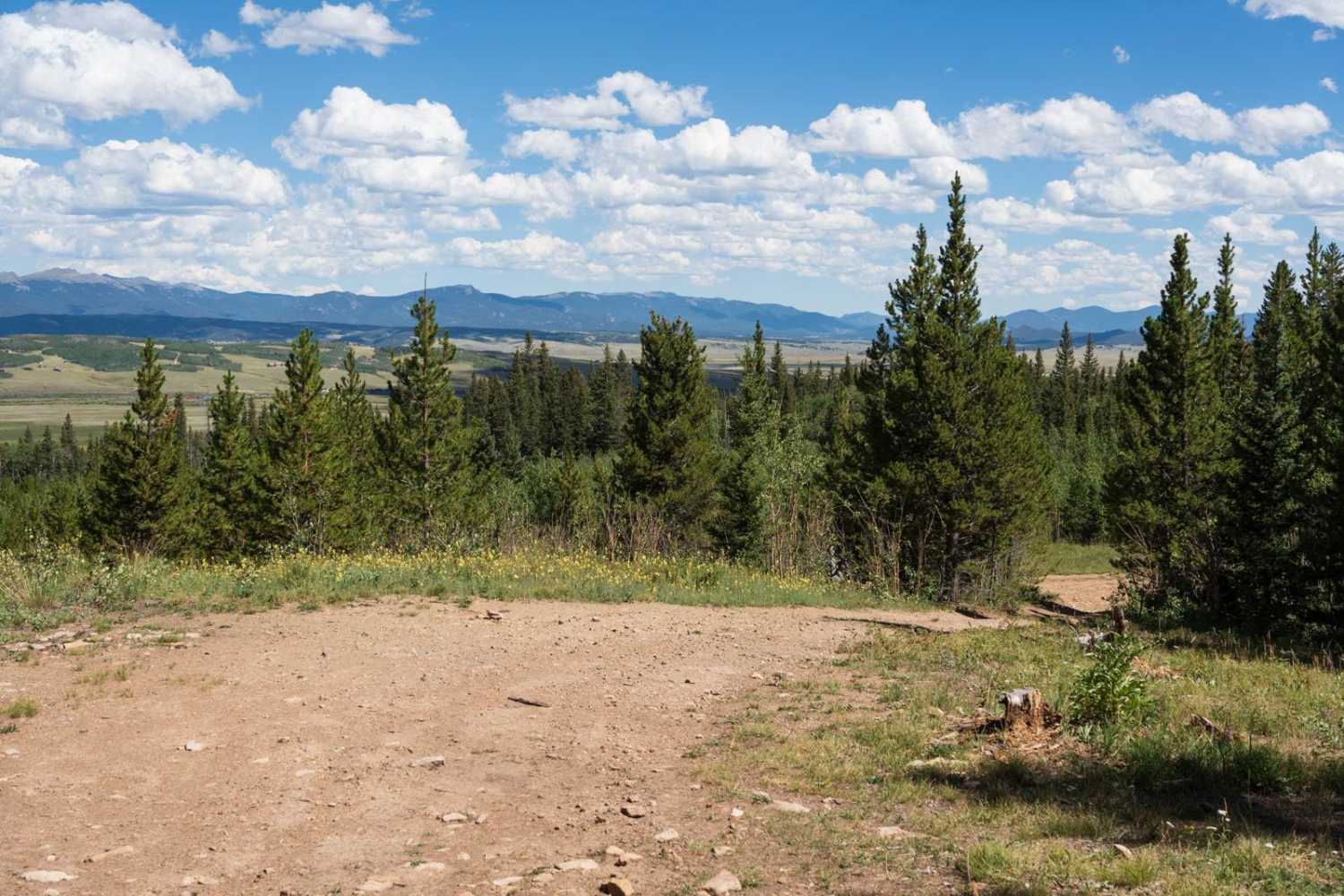
Rocky Canyon is a 4.5-mile-long ATV trail through the San Juan National Forest near Bayfield, Colorado. The west end starts of Beaver Meadows Road and gets pretty rocky immediately. It starts climbing up the mountain on a two-track with ruts filled in with big loose rocks. There are milder and smoother sections as it weaves through the forest, then comes up to more rocky sections. Big embedded slabs, flat boulders, more enormous loose rocks, and scraggly gamble oak branches are sticking over the trail. It crosses Jungle Connect Road, keeps climbing up the mountain, then curves around and descends through the forest for the last mile until it ends on Little Beaver Road. There are more rocky sections on the east half, having to drop down embedded rock ledges that are about a foot tall. It goes through some scenic sections of young aspen trees. It's a fun and scenic trail with some decent challenges, and it is one of the more demanding ATV trails in the area.
Photos of Rocky Canyon
Difficulty
This is an intermediate trail because there are more challenging rocky sections all throughout the route. There are ledges less than a foot tall from embedded rock layers, and steeper hills with lots of loose rocks.
Status Reports
Rocky Canyon can be accessed by the following ride types:
- ATV (50")
- Dirt Bike
Rocky Canyon Map
Popular Trails
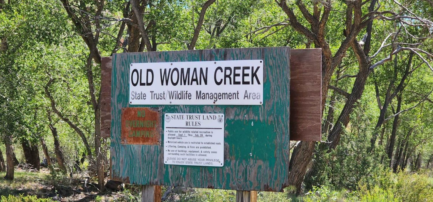
Old Woman Creek
The onX Offroad Difference
onX Offroad combines trail photos, descriptions, difficulty ratings, width restrictions, seasonality, and more in a user-friendly interface. Available on all devices, with offline access and full compatibility with CarPlay and Android Auto. Discover what you’re missing today!