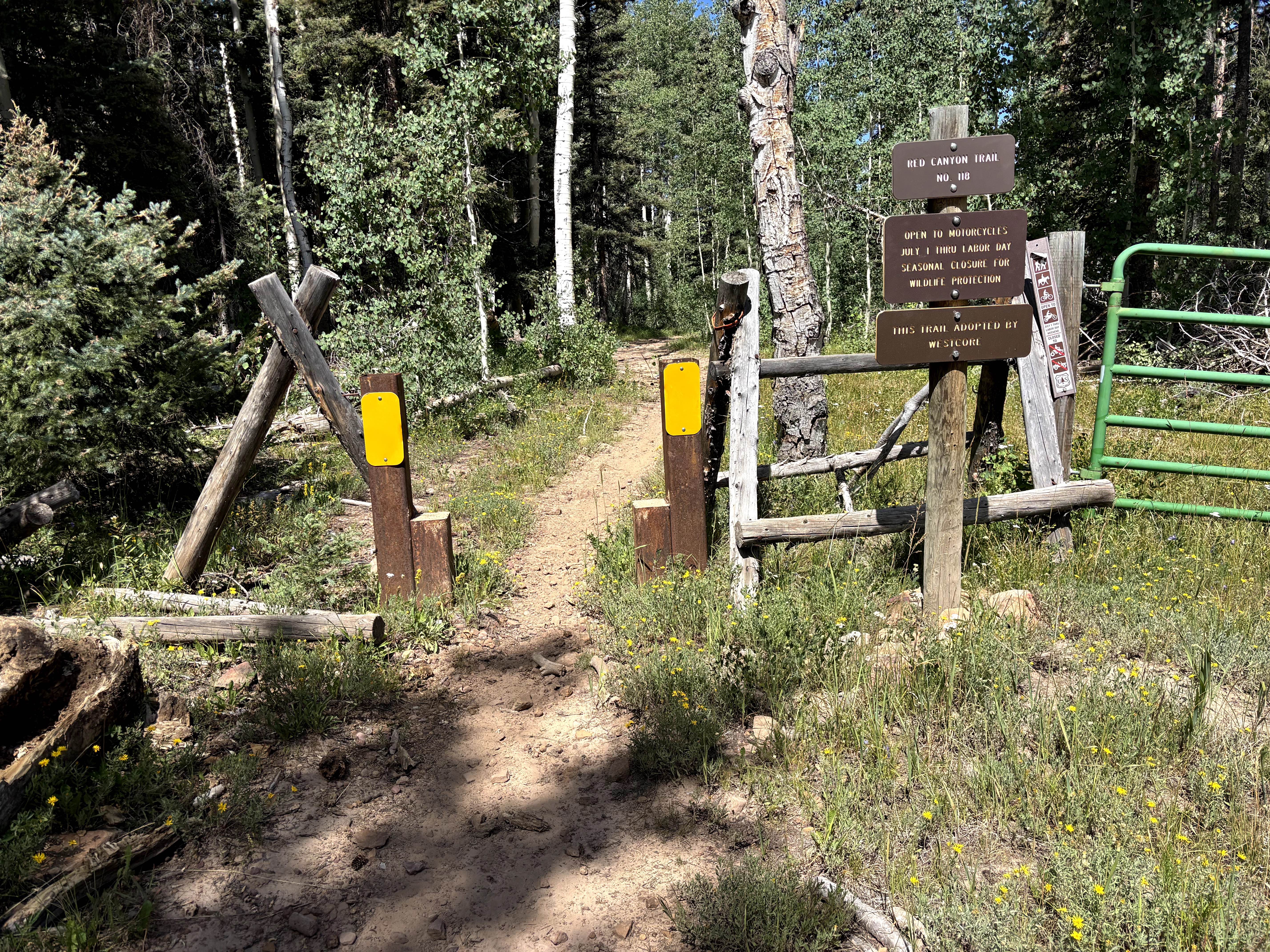
Red Canyon Trail
Total Miles
7.0
Technical Rating
Best Time
Summer
Trail Type
Single Track
Accessible By
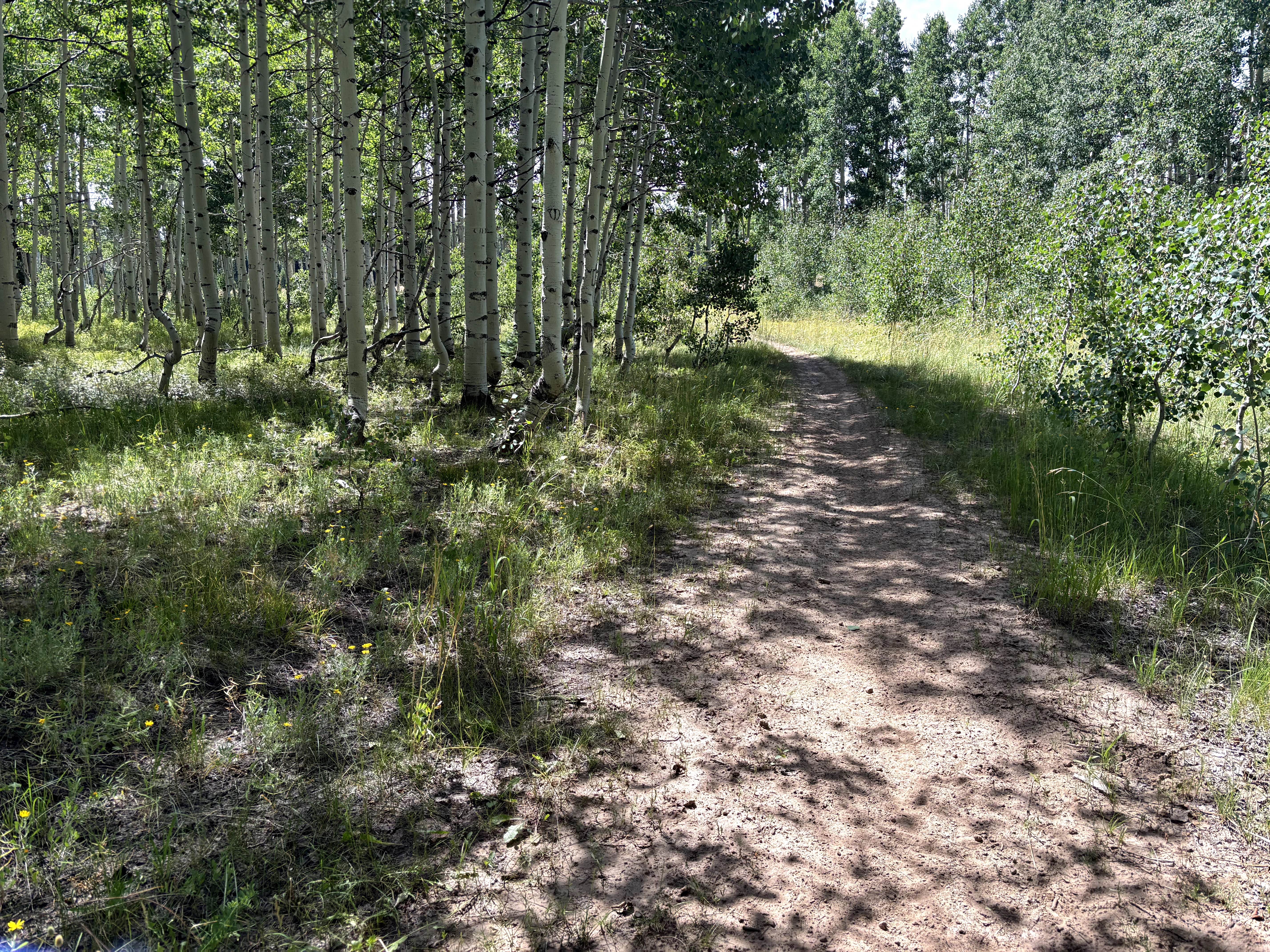
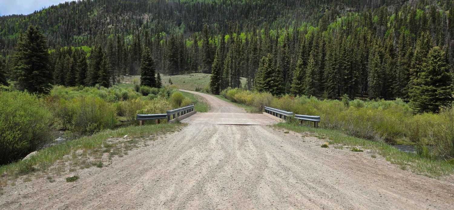
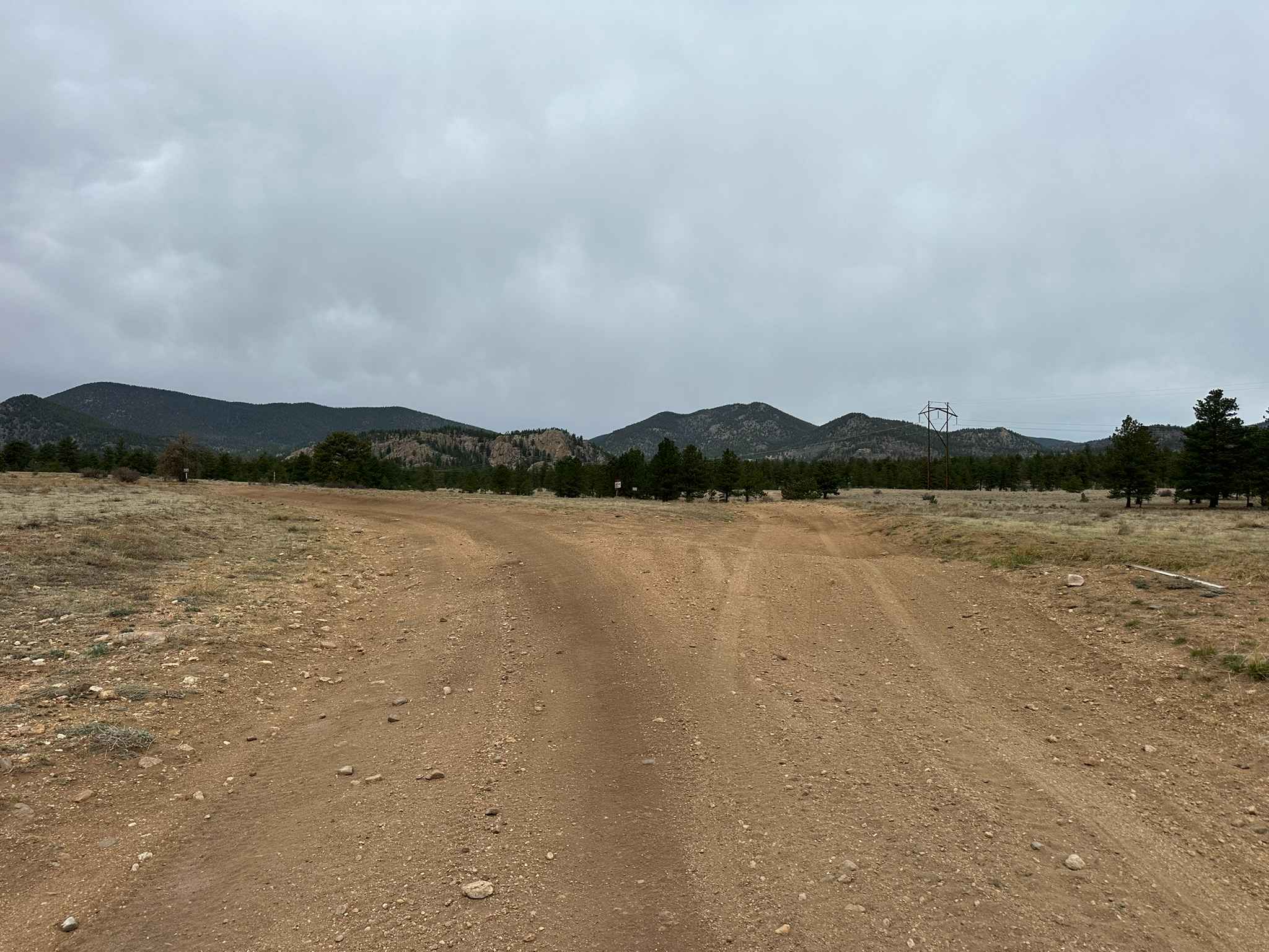
Trail Overview
When ridden north to south, the trail starts off very wide and fast for the first 2 miles. It then begins a long and gradual descent with only the occasional small feature. This is with the exception of one more challenging area where there is a much steeper, approximately 30-foot grade with a few 12-18 inch rocks to navigate. There is a small stream crossing at the bottom before you begin a loose and rocky climb back up to the road, which is fairly easy as it is consistent and not particularly steep. The eastern end of the trail features a great viewpoint to the south - be sure to stop and enjoy! This trail makes a nice loop with the Powerline Trail, or as an out-and-back to connect with the area's other trails.
Photos of Red Canyon Trail
Difficulty
This trail features rutted sections with very loose rocks and short, steep grades with a couple of features greater than 12 inches.
Status Reports
Red Canyon Trail can be accessed by the following ride types:
- Dirt Bike
Red Canyon Trail Map
Popular Trails

The Crown: BLM Road #8320
Fox Mountain Road

West Jackson Creek Road to Hidden Valley Road
Marksbury West Road
The onX Offroad Difference
onX Offroad combines trail photos, descriptions, difficulty ratings, width restrictions, seasonality, and more in a user-friendly interface. Available on all devices, with offline access and full compatibility with CarPlay and Android Auto. Discover what you’re missing today!