High Park Road FR 441
Total Miles
4.1
Technical Rating
Best Time
Summer, Fall
Trail Type
High-Clearance 4x4 Trail
Accessible By
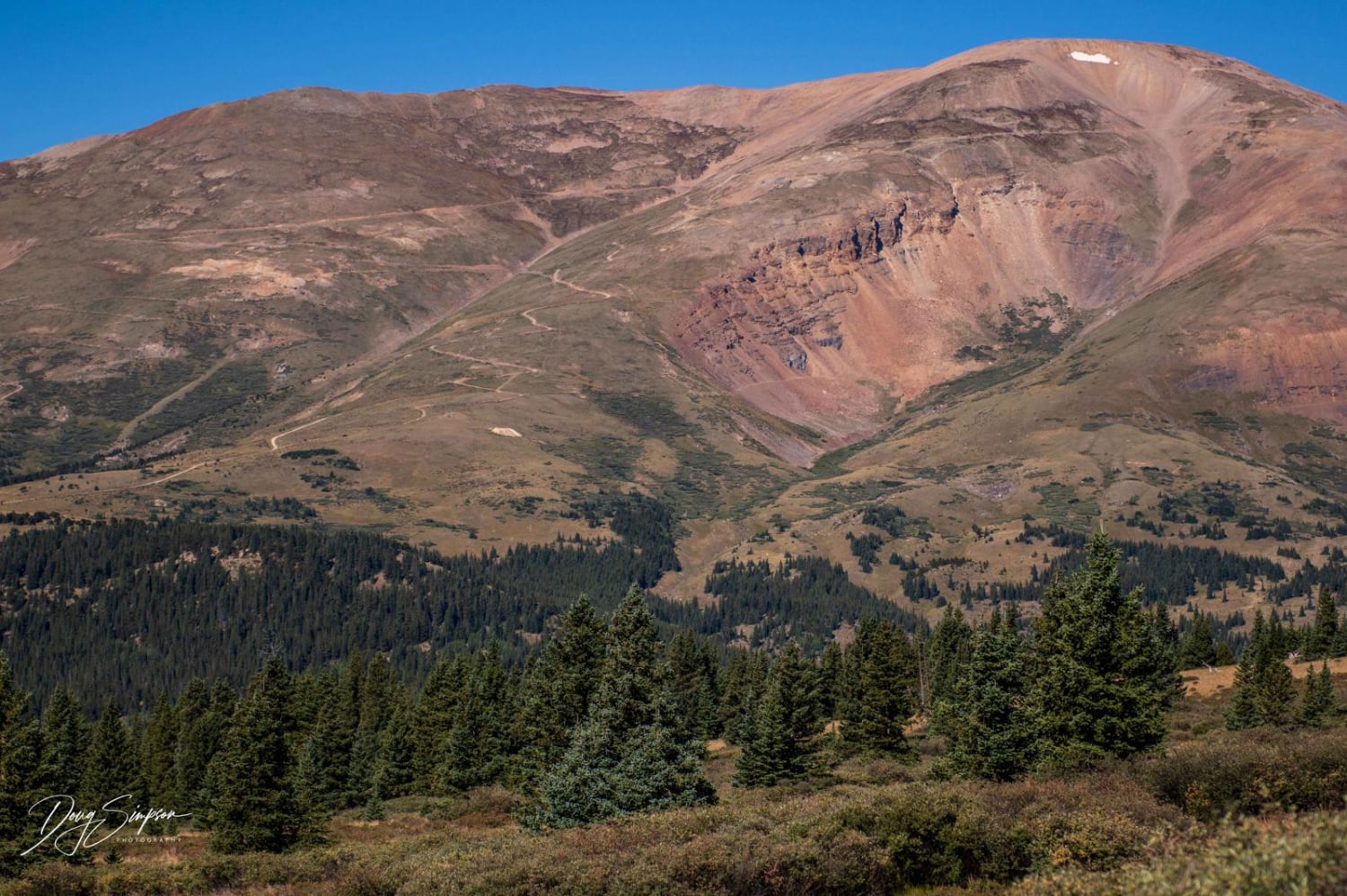
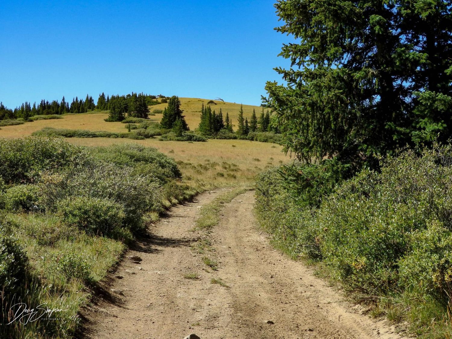
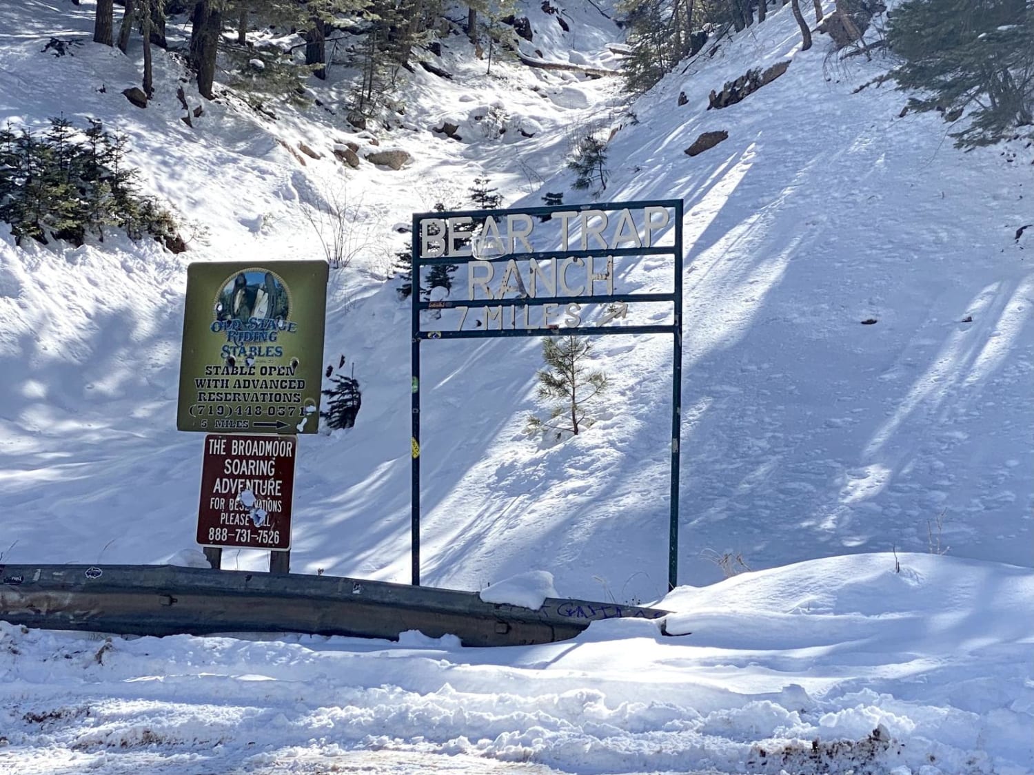
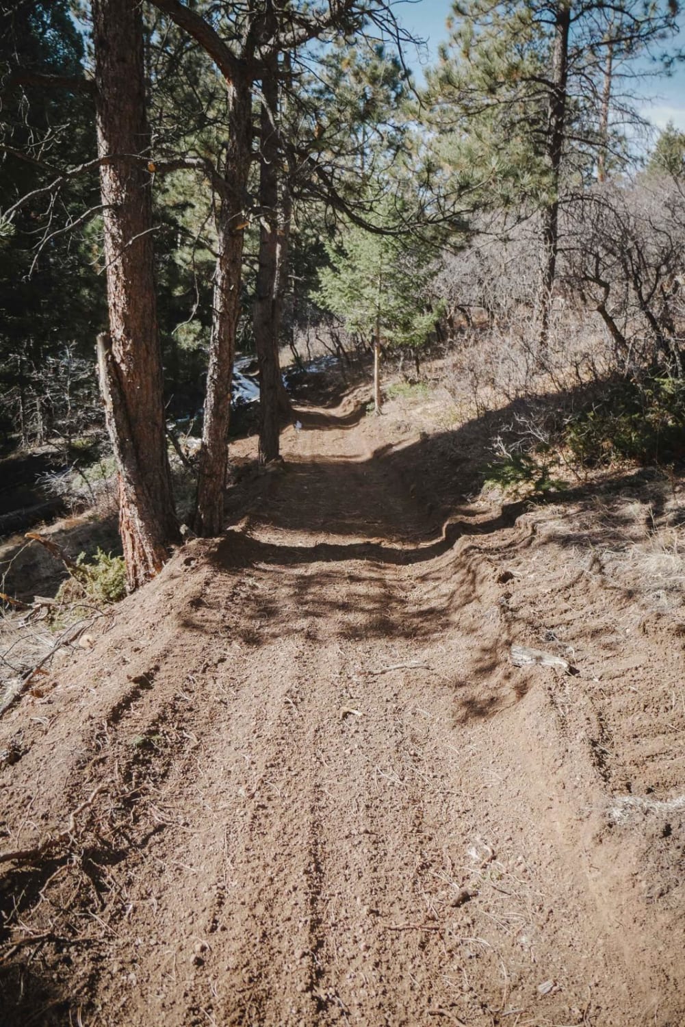
Trail Overview
This road is closed where it meets State Highway 9. The new location is between Mile Markers 69 and 70, which is 0.5 miles from the town of Alma. The road is not marked. It is easier to start at the top of the road off Beaver Creek Lane Road. The lower section of the road for about 1-2 miles is loose river rock combined with a steep grade, making it very challenging. Once you get above this section, the road is mostly 2-track with some rocky sections, and the areas with trees are really tight for full-size trucks. There is some cell service. This road is also closed to non-licensed vehicles. Be aware of seasonal closures from January 1 to June 1.
Photos of High Park Road FR 441
Difficulty
The lower section has a steep grade with loose rock and may need at least a rear locker to climb. It is easier to do from the top down.
High Park Road FR 441 can be accessed by the following ride types:
- High-Clearance 4x4
High Park Road FR 441 Map
Popular Trails

Guernsey Road - FS 810
Scotty's Cutoff ATV Trail

Switzerland Trail
The onX Offroad Difference
onX Offroad combines trail photos, descriptions, difficulty ratings, width restrictions, seasonality, and more in a user-friendly interface. Available on all devices, with offline access and full compatibility with CarPlay and Android Auto. Discover what you’re missing today!