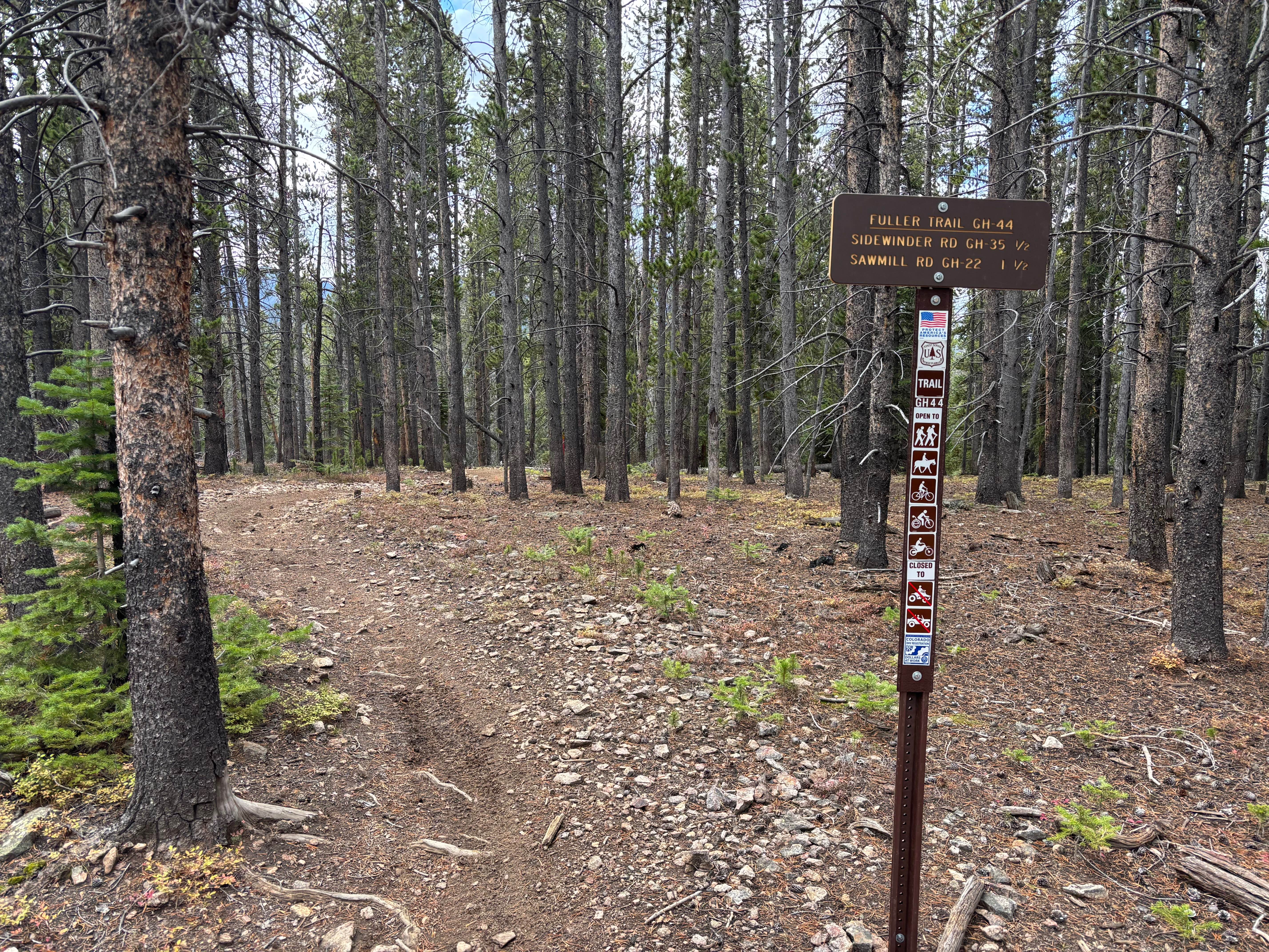
Fuller Trail
Total Miles
1.7
Technical Rating
Best Time
Summer, Fall
Trail Type
Single Track
Accessible By
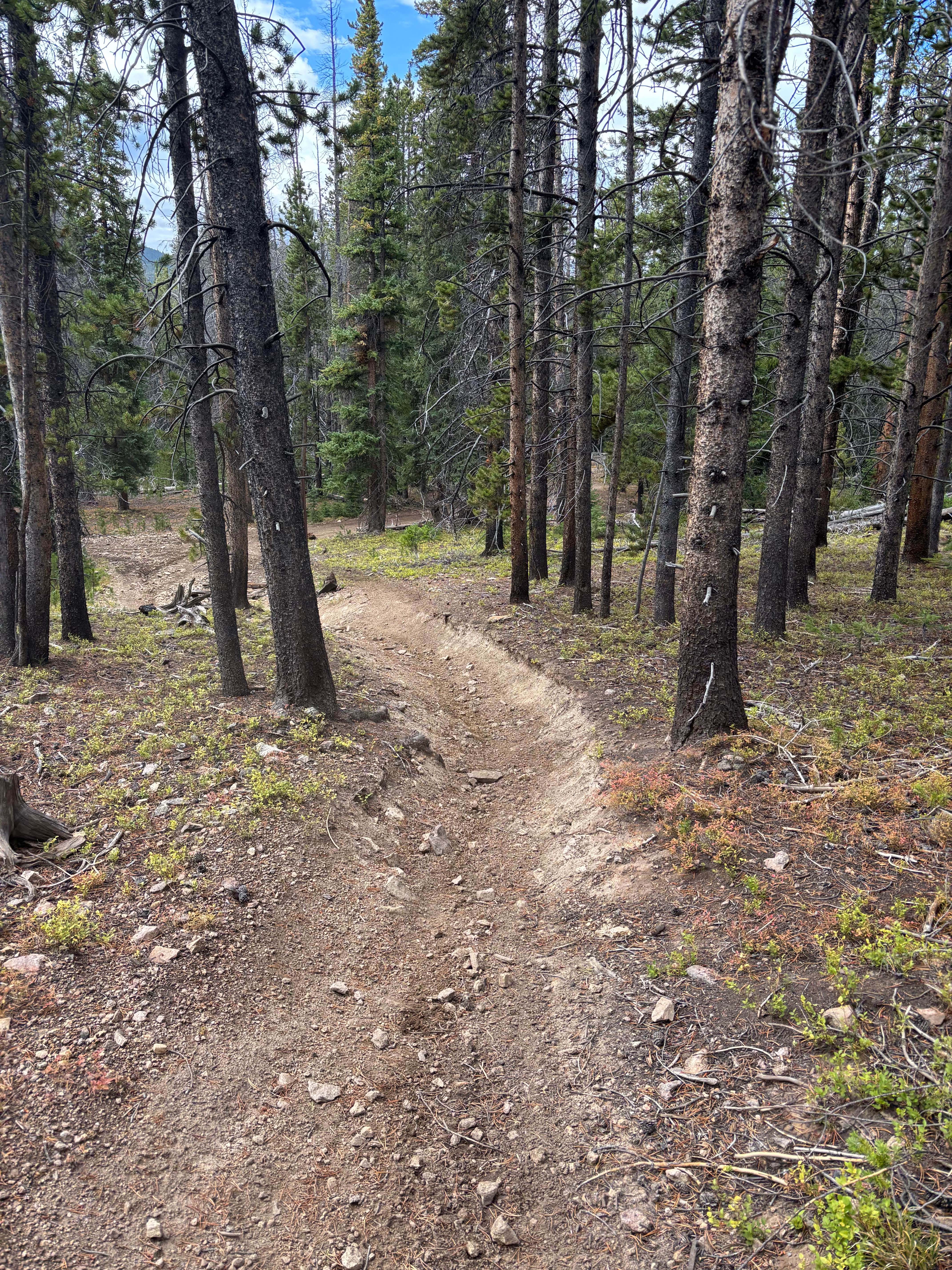
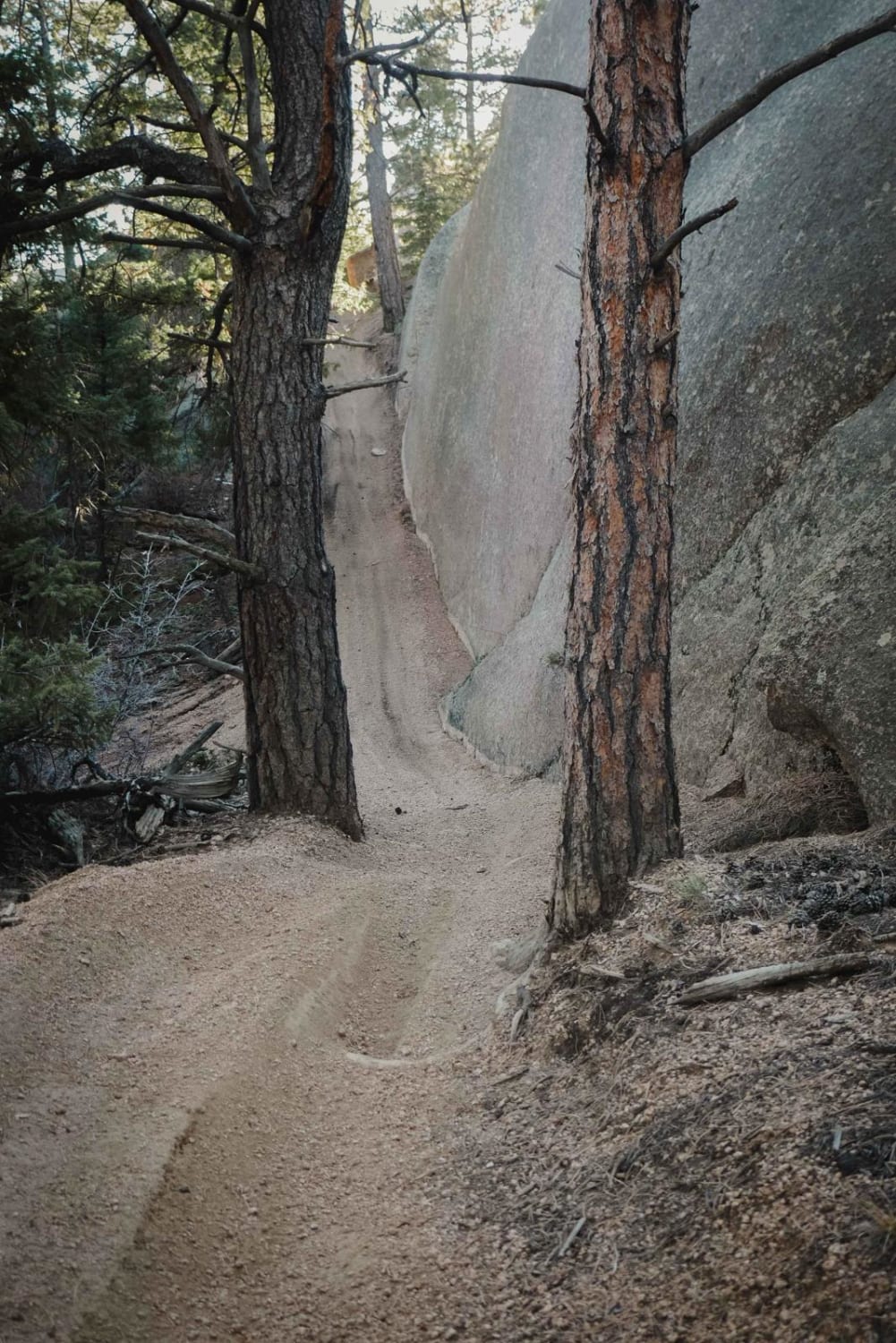
Trail Overview
Fuller Trail is likely the most challenging trail in the Summit County Trail System. It features a few longer and steeper grades with a lot of softball-sized rocks. Some tighter switchbacks are mildly steep and fairly loose. The trail is also notably rutted in areas. Rock and root obstacles up to 12-14" in height. Fuller has one road crossing on GH-38, and the crossing is slightly offset;you'll need to hop on the road for approximately 50 yards to reconnect. It is an awesome trail and fun in both directions!
Photos of Fuller Trail
Difficulty
Rutted, steep loose grades, loose switchbacks, and obstacles ~14" tall.
Status Reports
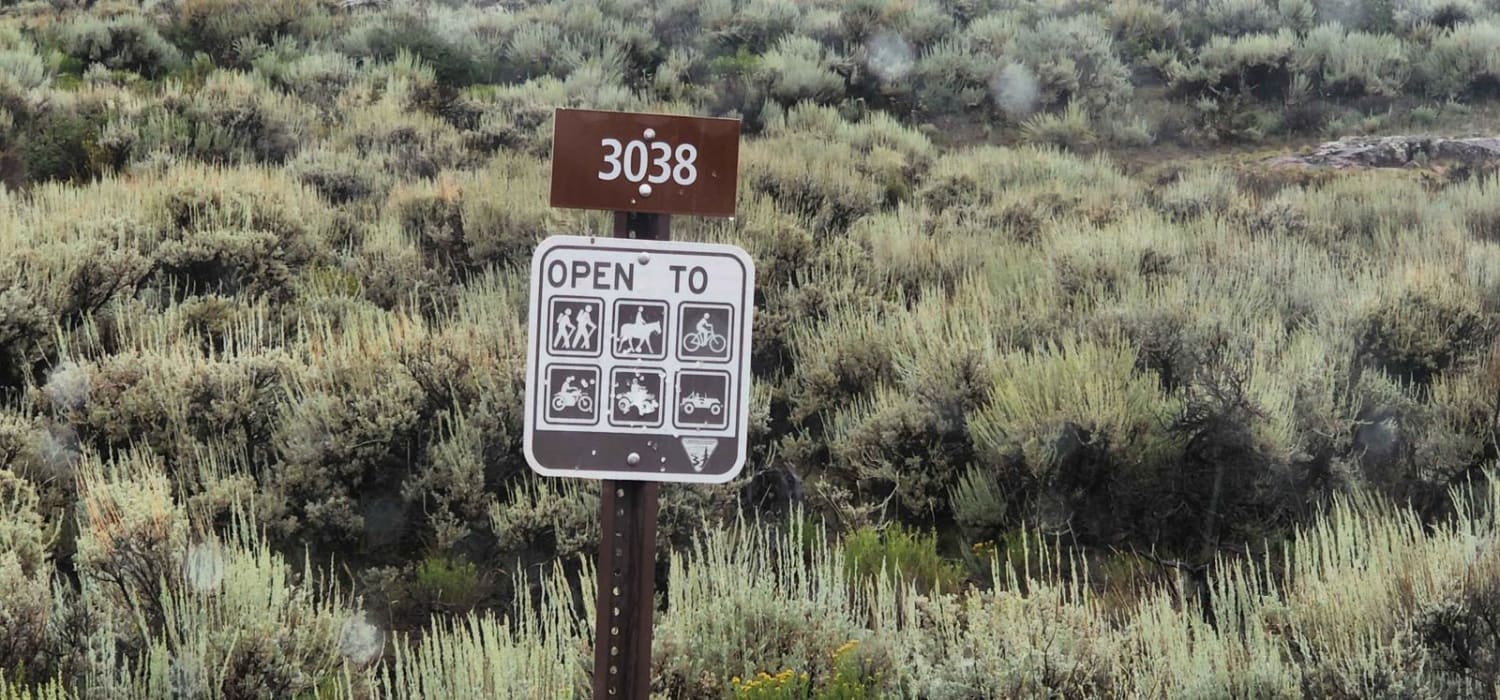
Fuller Trail can be accessed by the following ride types:
- Dirt Bike
Fuller Trail Map
Popular Trails

Sand Road - BLM 5980
679 Dutch Fred ATV Trail

Tenderfoot Mountain
The onX Offroad Difference
onX Offroad combines trail photos, descriptions, difficulty ratings, width restrictions, seasonality, and more in a user-friendly interface. Available on all devices, with offline access and full compatibility with CarPlay and Android Auto. Discover what you’re missing today!