Fr Road 664
Total Miles
14.0
Technical Rating
Best Time
Fall, Summer, Spring
Trail Type
Full-Width Road
Accessible By
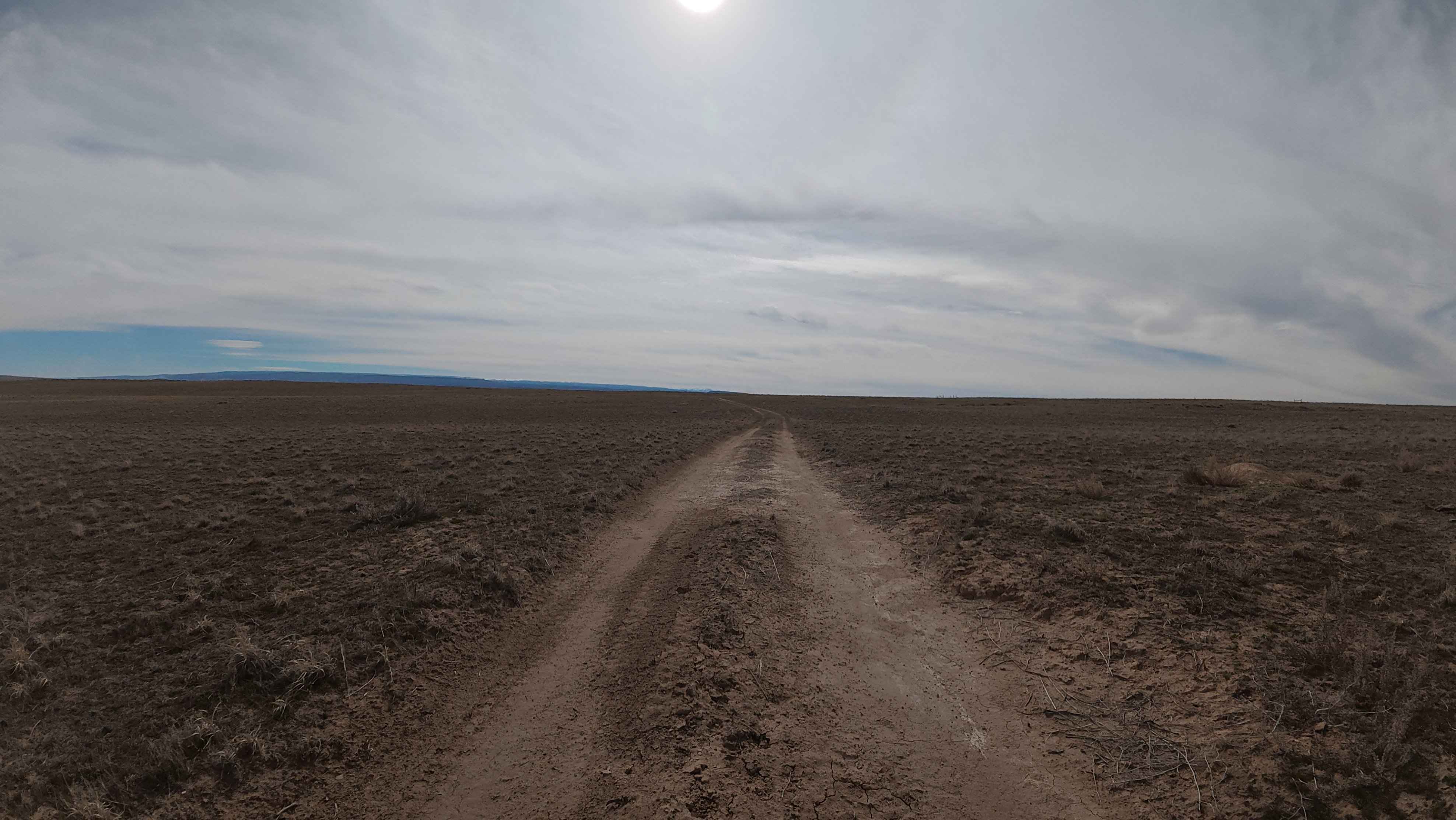
Trail Overview
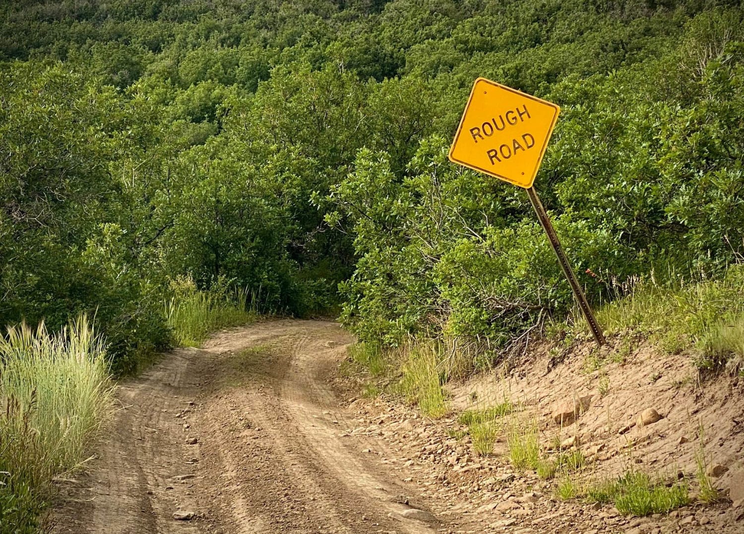
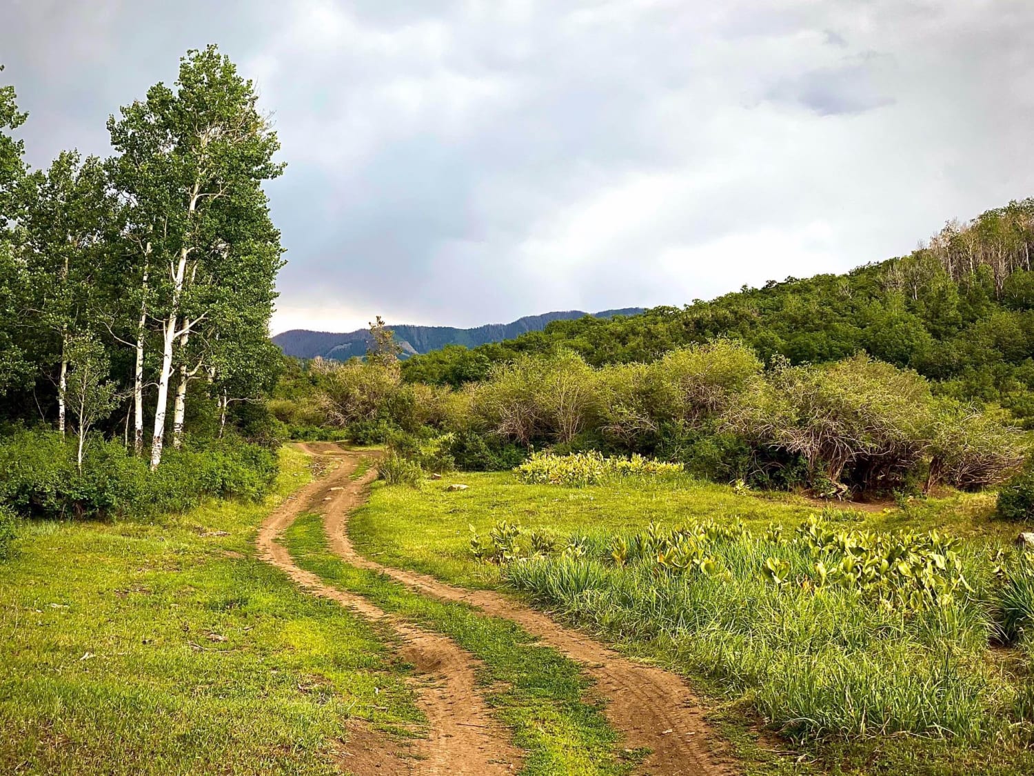
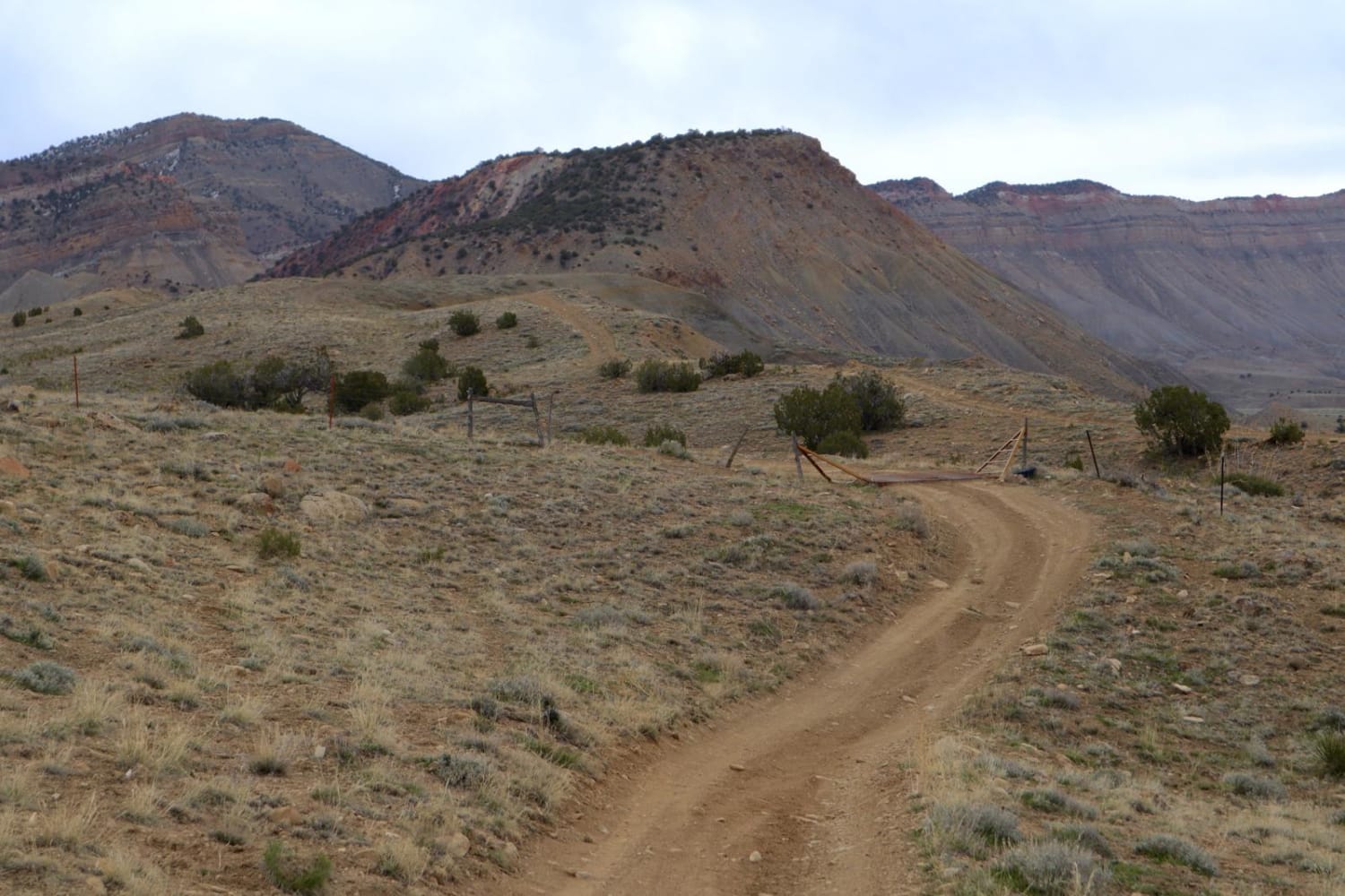
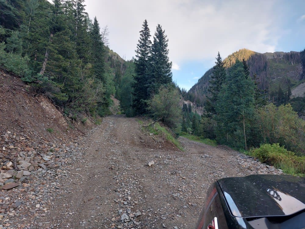
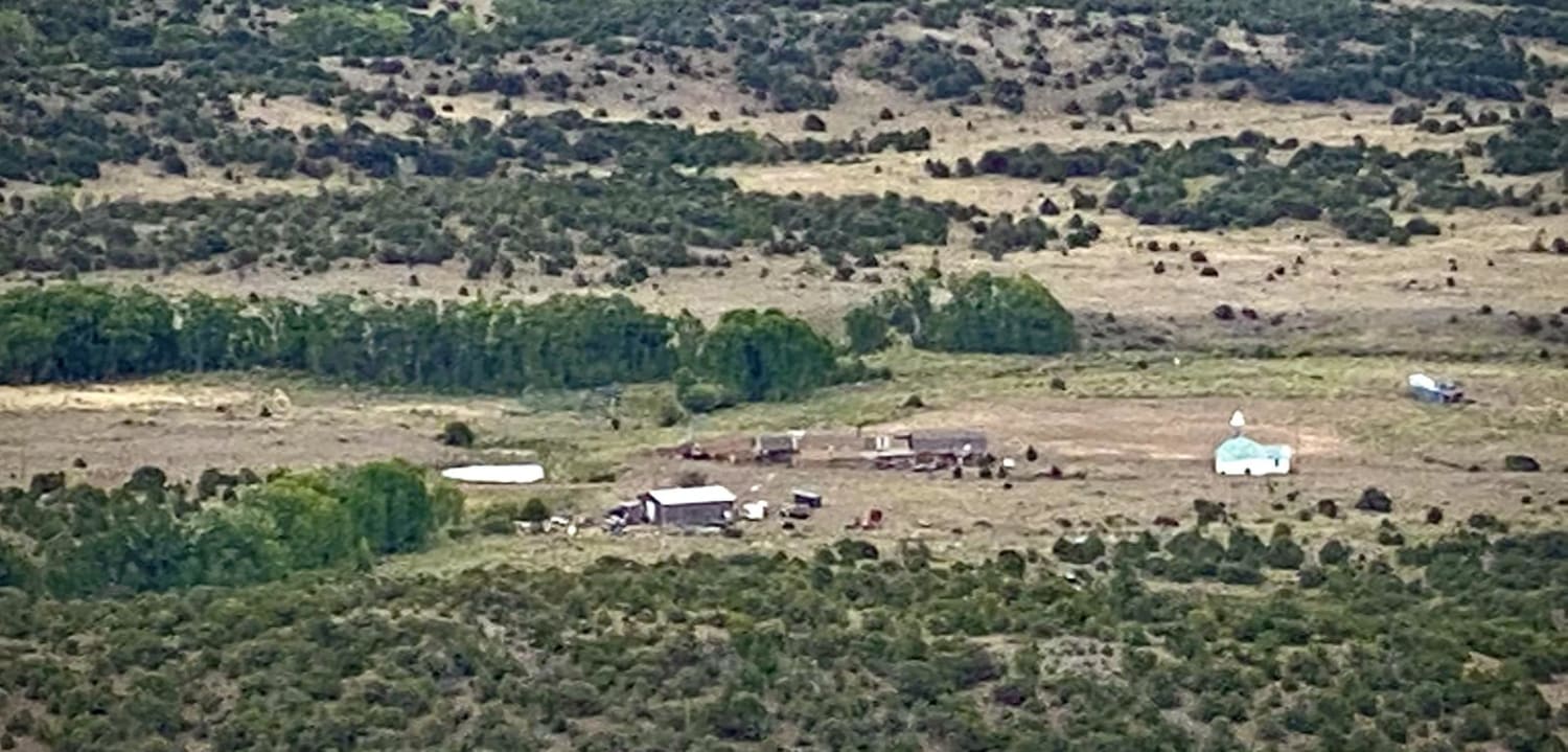
Big Branch road runs from Buckles Lake road (#663) to the Blue Creek road (#612). Right as you start the trail it warns of a rough road, following are several spots with large dips from the beginning, after that it becomes rut roads with a few rocks and possible mud holes. The trail crosses several meadows and spots with a few disturbed primitive campsites, one site was set up for hunting with a game rack. The Blue Creek ATV trail connects 2/3rd of the way to the Blue Creek road bisecting the two trails. There is no discernible change from Big Branch to Blue Creek road except that the trail gets a little rougher with more dips, twists and turns. As/if you continue along what is now the Blue Creek road (#612) you will reach the Blanco River crossing. DO NOT ATTEMPT TO CROSS THE BLANCO RIVER DURING SPRING SNOWMELT. THE CURRENT IS TOO SWIFT. LIVES HAVE BEEN LOST. Be sure to check out the information about the Blue Creek trail. It is a real rollercoaster 4x4 trail, very different from the Big Branch road with driver attention needed.
Photos of Fr Road 664
Difficulty
The road is rougher in the beginning with its dips, after that while small rocks and small mud puddles the rut road could be all driven in 2WD.
History
A section of what is now Big Branch 4x4 trail was once part of the main road from Chama, NM to Pagosa Springs
Status Reports
Fr Road 664 can be accessed by the following ride types:
- High-Clearance 4x4
- SUV
- SxS (60")
- ATV (50")
- Dirt Bike
Fr Road 664 Map
Popular Trails
25 and 27 1/4 Connector
Ruby Mine Trail
Agua Ramon Mountain - Fr 630
The onX Offroad Difference
onX Offroad combines trail photos, descriptions, difficulty ratings, width restrictions, seasonality, and more in a user-friendly interface. Available on all devices, with offline access and full compatibility with CarPlay and Android Auto. Discover what you’re missing today!