2 trails found in Colorado
Which "engineer pass" are you looking for?
We found 2 off-road trails in Colorado matching your search. Pick the one you're looking for below.
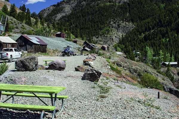
County Road 2 Connector - Silverton to Animas Forks and Engineer Pass
County Road 2 out of Silverton is part of the Alpine Loop Scenic Byway. It is an historic mining road that connects to many side trails, while following part of an old railroad grade and mines. The road itself is almost three different trails, as it changes in terrain and difficulty. The first secti...
Learn more about County Road 2 Connector - Silverton to Animas Forks and Engineer Pass
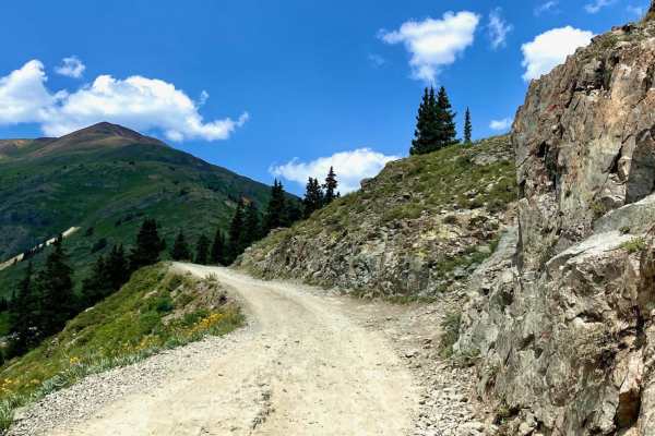
Engineer Pass
Engineer Pass is a legendary high-altitude offroad route for intermediate drivers seeking breathtaking San Juan Mountain vistas and deep historical roots along Colorado's famous Alpine Loop. Connecting Lake City with the high country near Silverton and Ouray, this iconic trail offers a classic Rocky...
Learn more about Engineer Pass