Cow Gulch
Total Miles
1.6
Technical Rating
Best Time
Spring, Summer, Fall
Trail Type
Single Track
Accessible By
Trail Overview
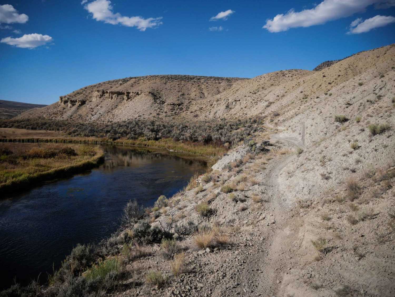
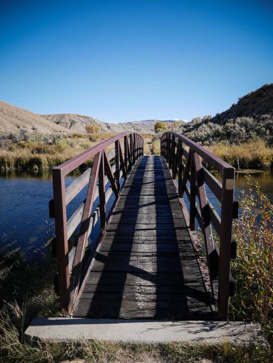
This single track starts the dirt County Highway 224 on a wide path in sagebrush desert terrain above a ravine, going flat and straight. It goes through a fence, then along the wall. The trail has whoops, ruts, loose rocks, and troughs down the middle of the path. It gets narrower as it heads west and has a section that is pretty narrow along the river, going along the edges of the small rolling dirt hills, following the contour of the Muddy Creek. As it turns south, it goes through an extensive, vast, open meadow. At the intersection with the ATV trail, it goes south across a long wooden bridge over the river. It continues to parallel the river, where you may see hikers, and it ends at a trailhead with a dirt parking area and pit toilet next to the river.
Photos of Cow Gulch
Difficulty
This is an easier single track through a low sage brush desert. The hardest part is when it gets narrow as it parallels the river before it crosses the bridge. Otherwise it has no rocks or obstacles.
Status Reports
Cow Gulch can be accessed by the following ride types:
- Dirt Bike
Cow Gulch Map
Popular Trails

Old Highway
Devil Mountain-Fr Rd 626

East Animas Road
The onX Offroad Difference
onX Offroad combines trail photos, descriptions, difficulty ratings, width restrictions, seasonality, and more in a user-friendly interface. Available on all devices, with offline access and full compatibility with CarPlay and Android Auto. Discover what you’re missing today!