BLM 8624
Total Miles
2.3
Technical Rating
Best Time
Fall, Summer, Spring
Trail Type
Single Track
Accessible By
Trail Overview
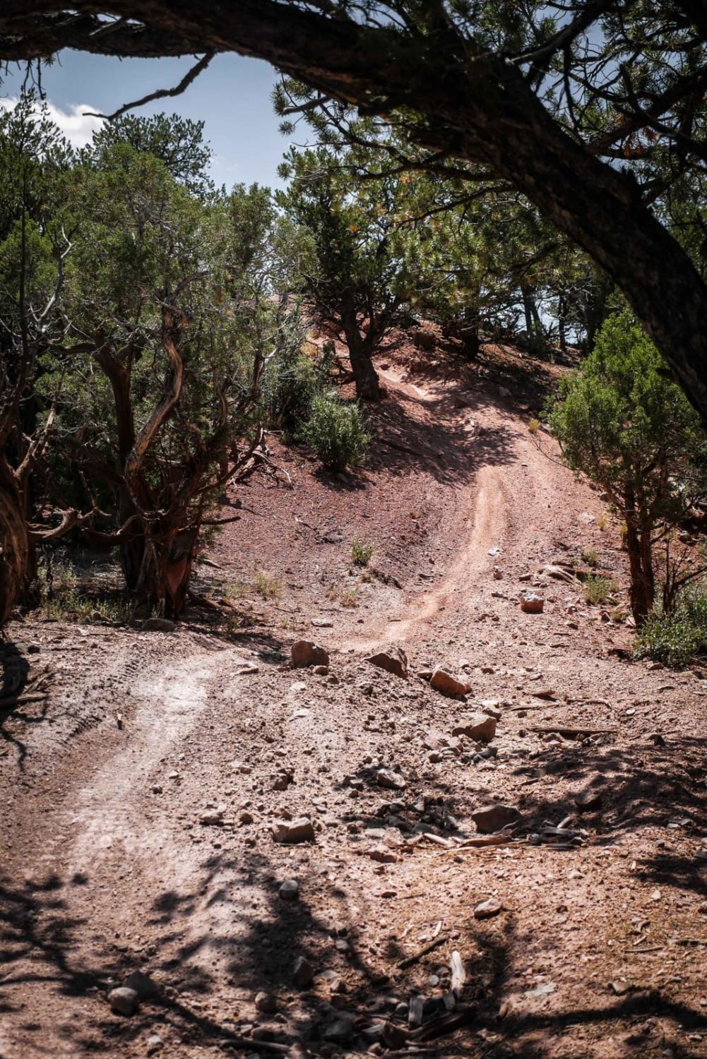
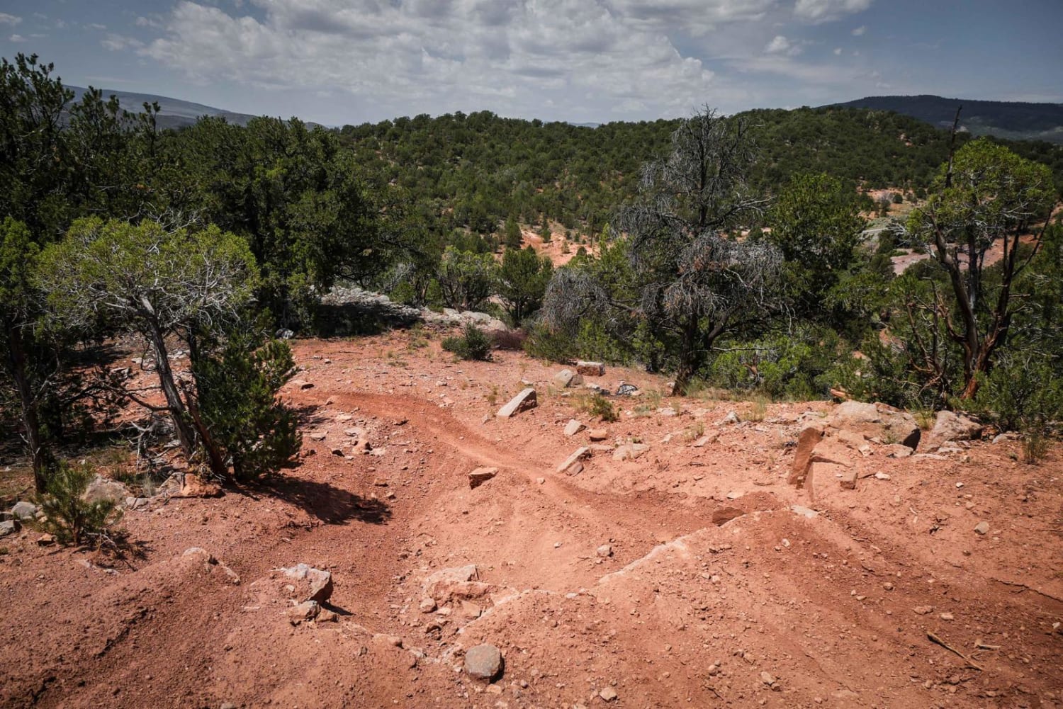
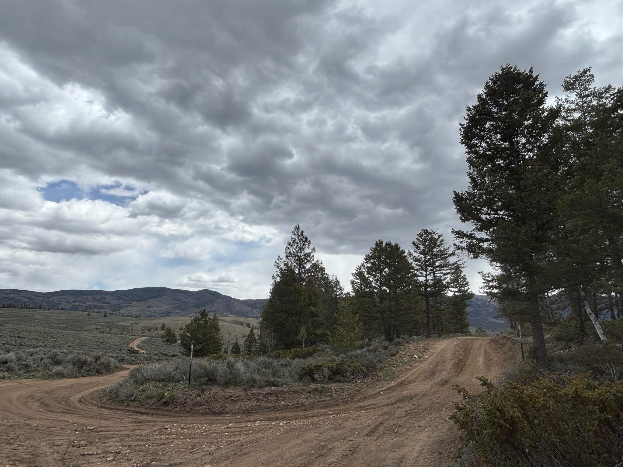
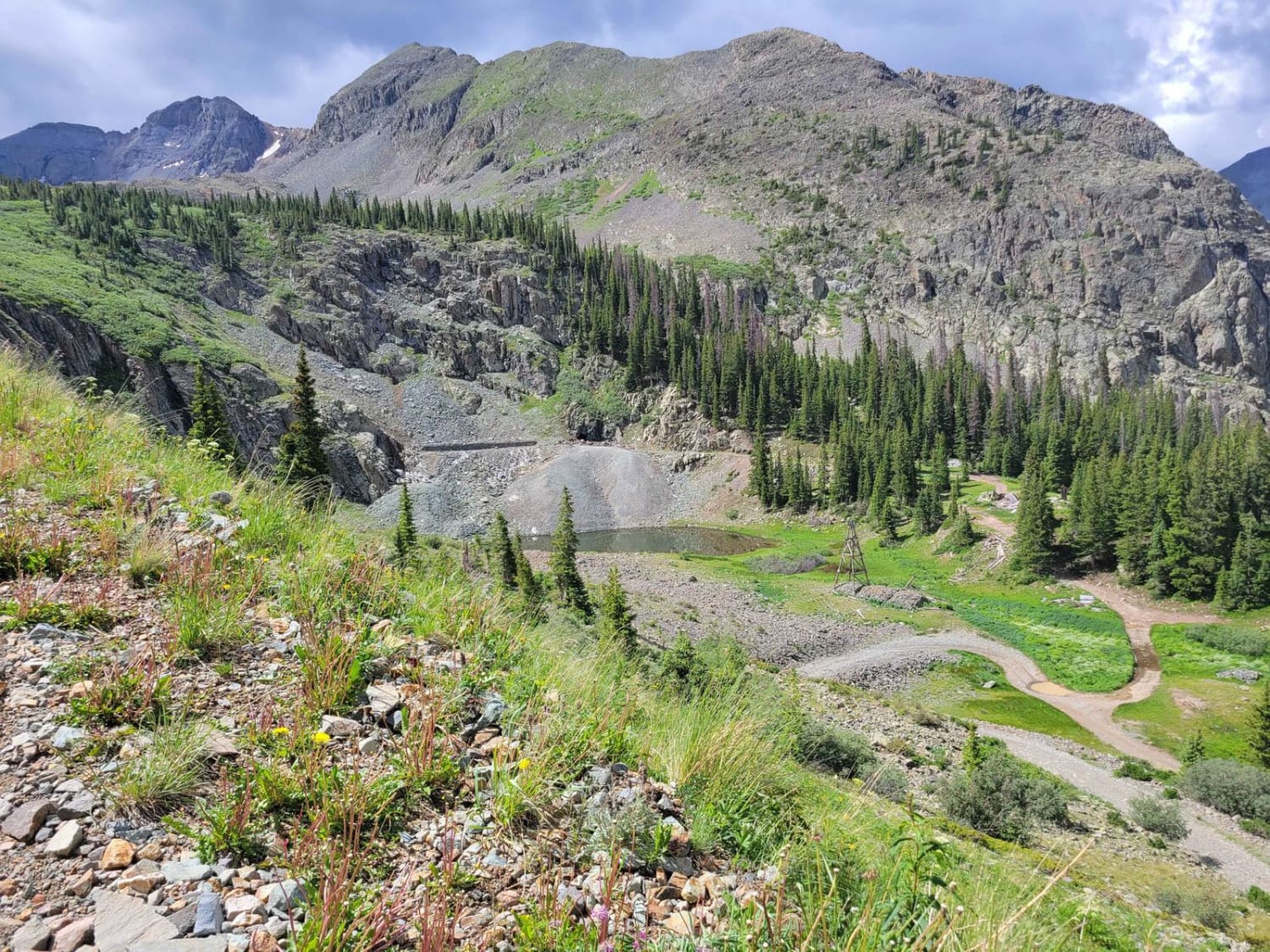
This is one of the longer trails in the trail system at 2.5 miles. This single track has a rocky start down in the valley below the mesas, with a big loose hill climb up to the top of the mesa full of embedded slab rocks and roots. It rides along the tops of the mesas as a twisty and curvy trail through the pinyon pine trees. There is another big climb with big wide faces of embedded boulders spanning the trail, but you can skirt around the edge of the boulders on an easier path. The trail goes past two unmarked intersections with BLM 8625, which can be taken as an alternate route back to Highway 131. It goes on the ridgelines of the mesa and down some loose descents. There is a small staging area that is a dirt pull-off of Highway 131 at the bottom of this trail.
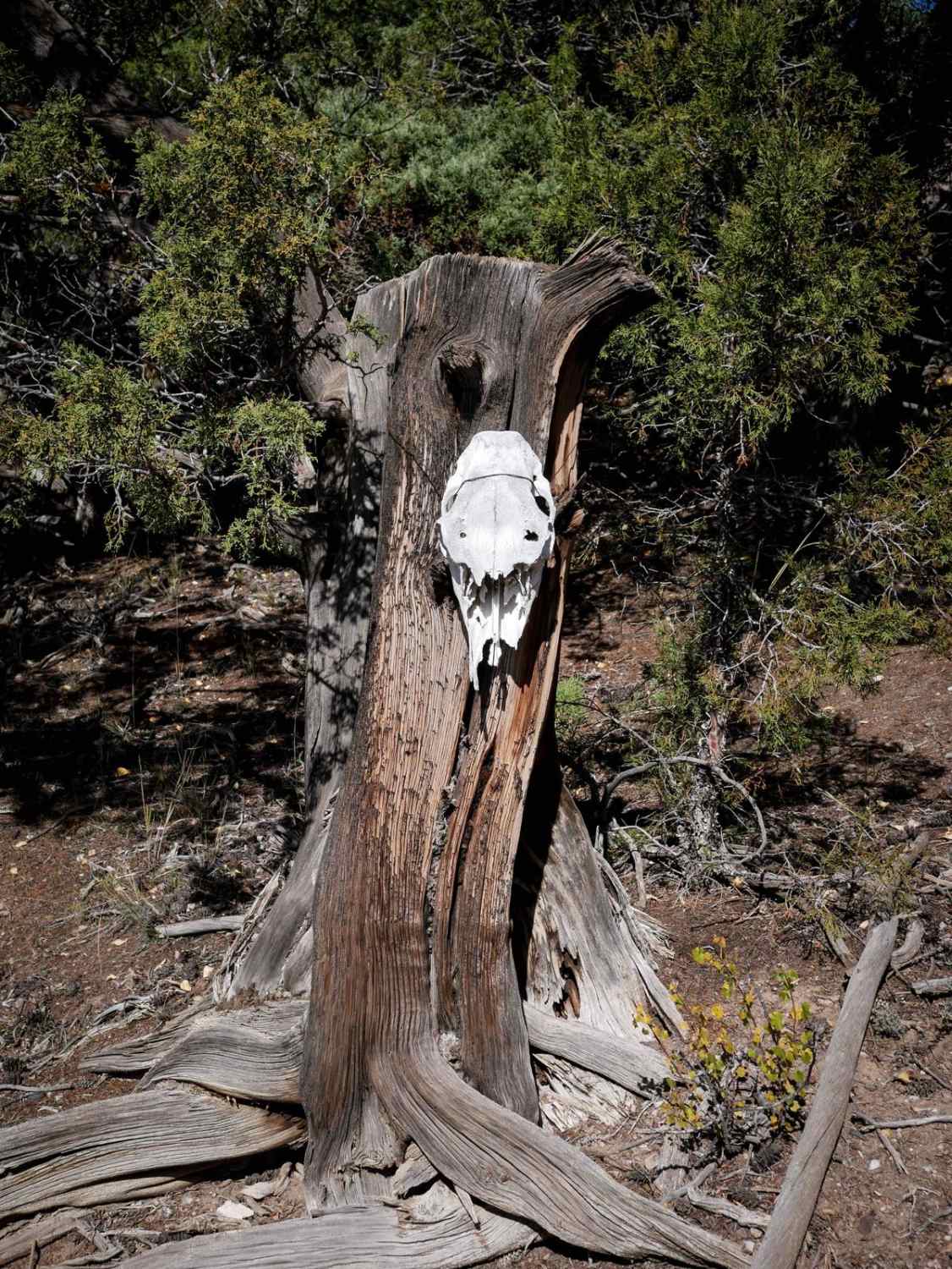
Photos of BLM 8624
Difficulty
This is an intermediate single track with rock obstacles and loose downhills.
Status Reports
BLM 8624 can be accessed by the following ride types:
- Dirt Bike
BLM 8624 Map
Popular Trails
Raghorn Road
Arrastra Gulch to Little Giant Basin
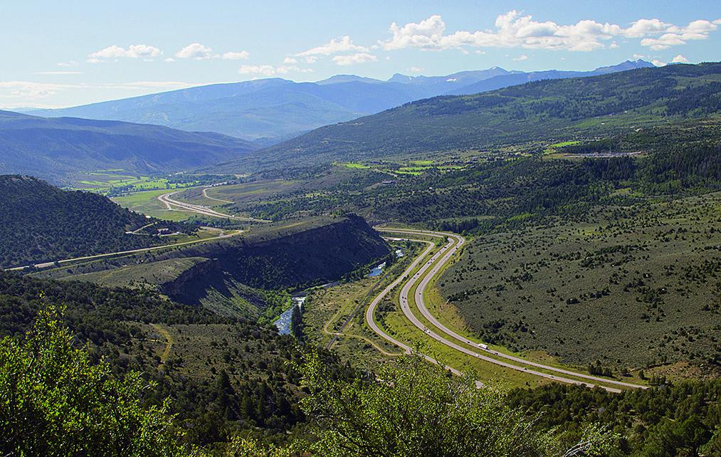
Bocco Mountain, Blue Lake
The onX Offroad Difference
onX Offroad combines trail photos, descriptions, difficulty ratings, width restrictions, seasonality, and more in a user-friendly interface. Available on all devices, with offline access and full compatibility with CarPlay and Android Auto. Discover what you’re missing today!