Billings Lake
Total Miles
7.8
Technical Rating
Best Time
Summer, Fall
Trail Type
Full-Width Road
Accessible By

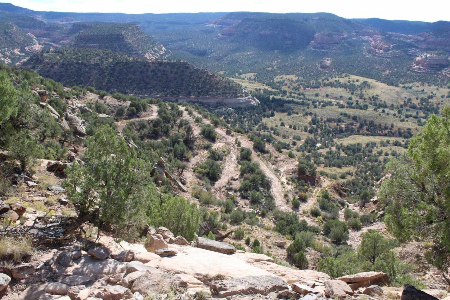
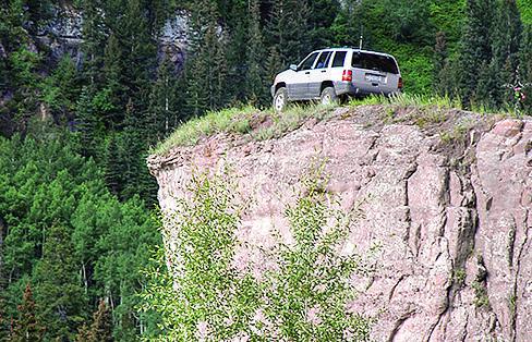
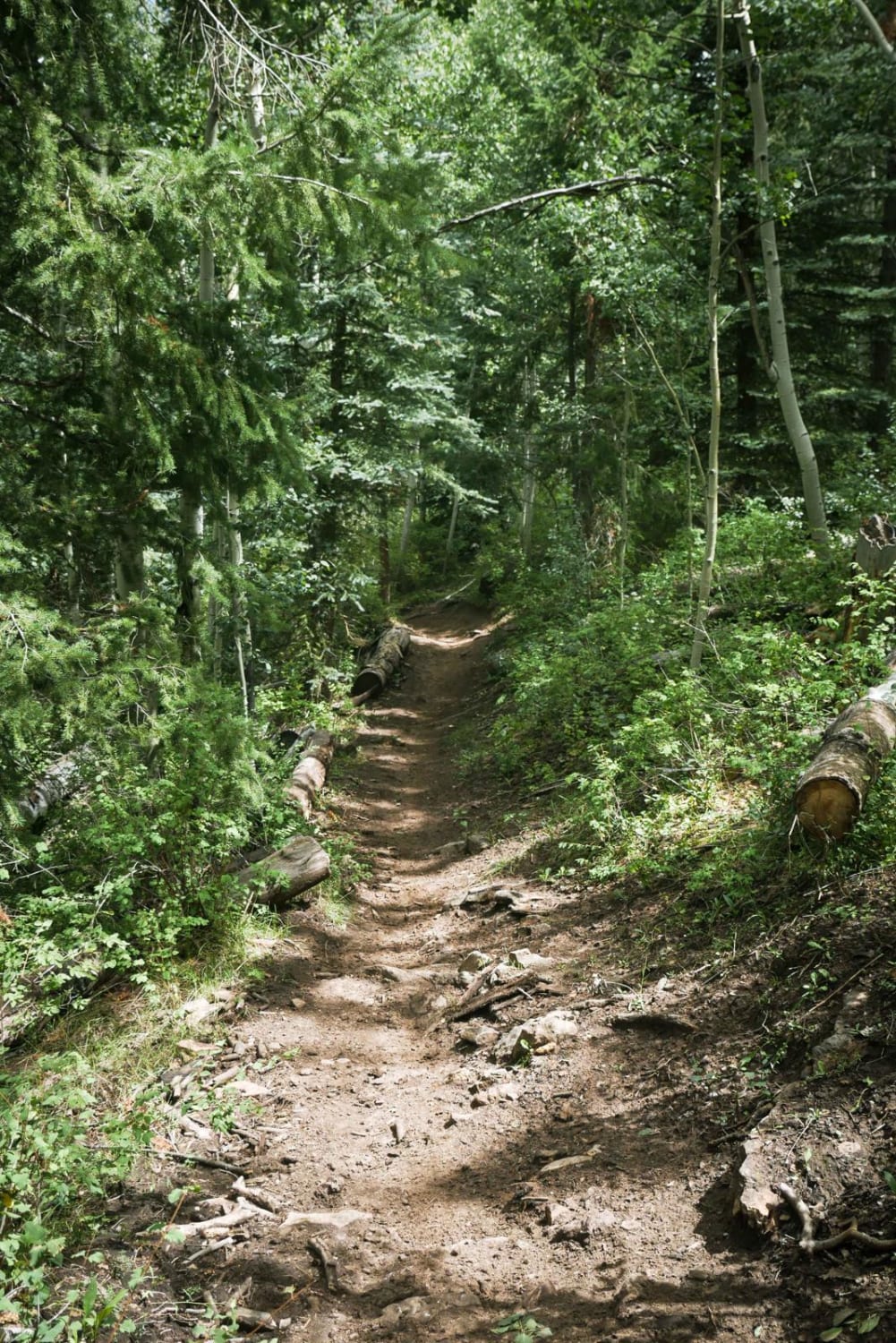
Trail Overview
This is a very bumpy and rocky road, so those with stock vehicles should be cautioned. You will stay mostly in the trees until the North Fork Reservoir. The final stretch of road is only wide enough for one car. Billings Lake is a stunning mountain lake with camping and fishing. There are also options for camping along the route, some near McCoy Creek. Unlicensed vehicles are allowed after the forest boundary. This trail closes in the winter for snow.
Difficulty
Easy. Bumpy embedded rock requires high clearance. Four-wheel drive and low range recommended after North Fork Reservoir.
Status Reports
Billings Lake can be accessed by the following ride types:
- High-Clearance 4x4
- SUV
- SxS (60")
- ATV (50")
- Dirt Bike
Billings Lake Map
Popular Trails
Long Park Mine Tour
Yankee Boy Basin
Chicken Creek Trail
The onX Offroad Difference
onX Offroad combines trail photos, descriptions, difficulty ratings, width restrictions, seasonality, and more in a user-friendly interface. Available on all devices, with offline access and full compatibility with CarPlay and Android Auto. Discover what you’re missing today!