Antelope Pass ATV
Total Miles
1.6
Technical Rating
Best Time
Spring, Summer, Fall
Trail Type
50" Trail
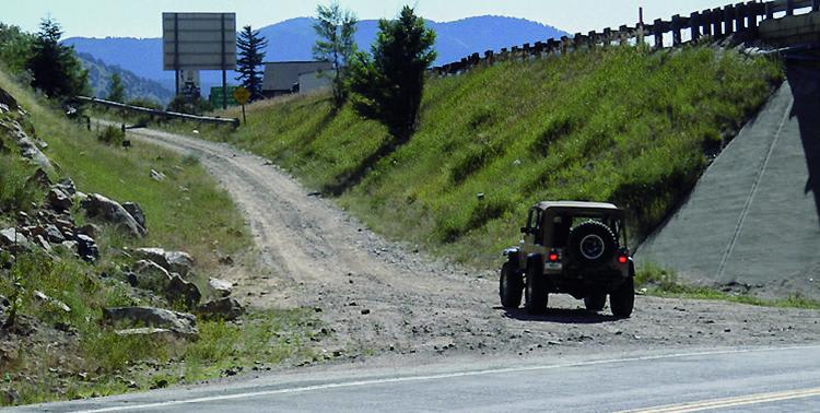
Accessible By
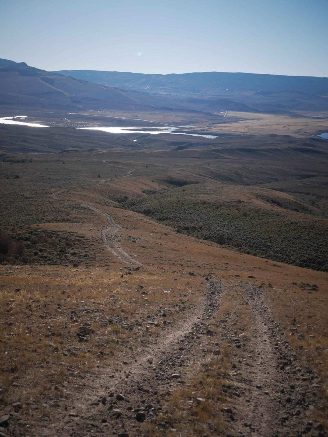
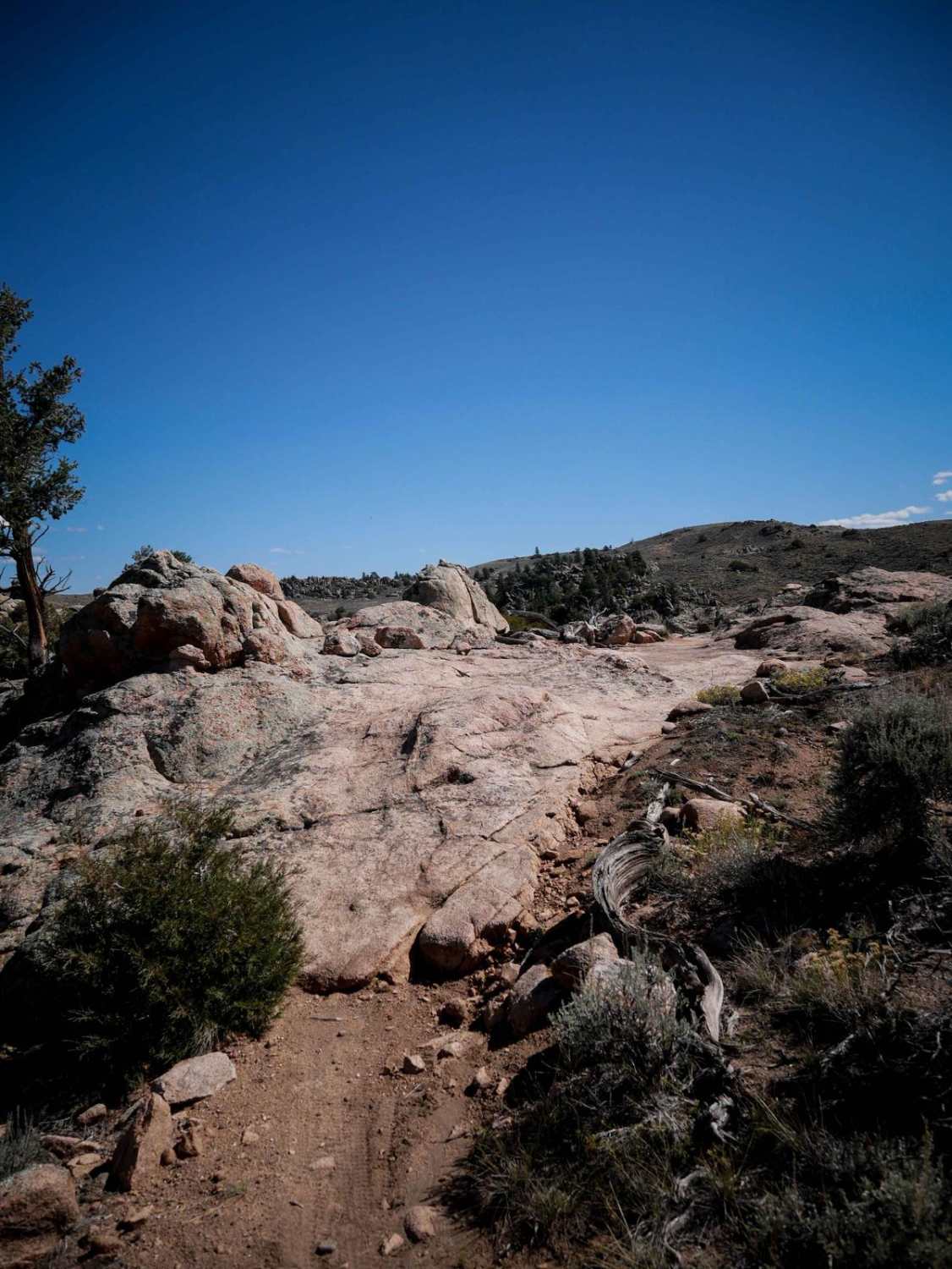
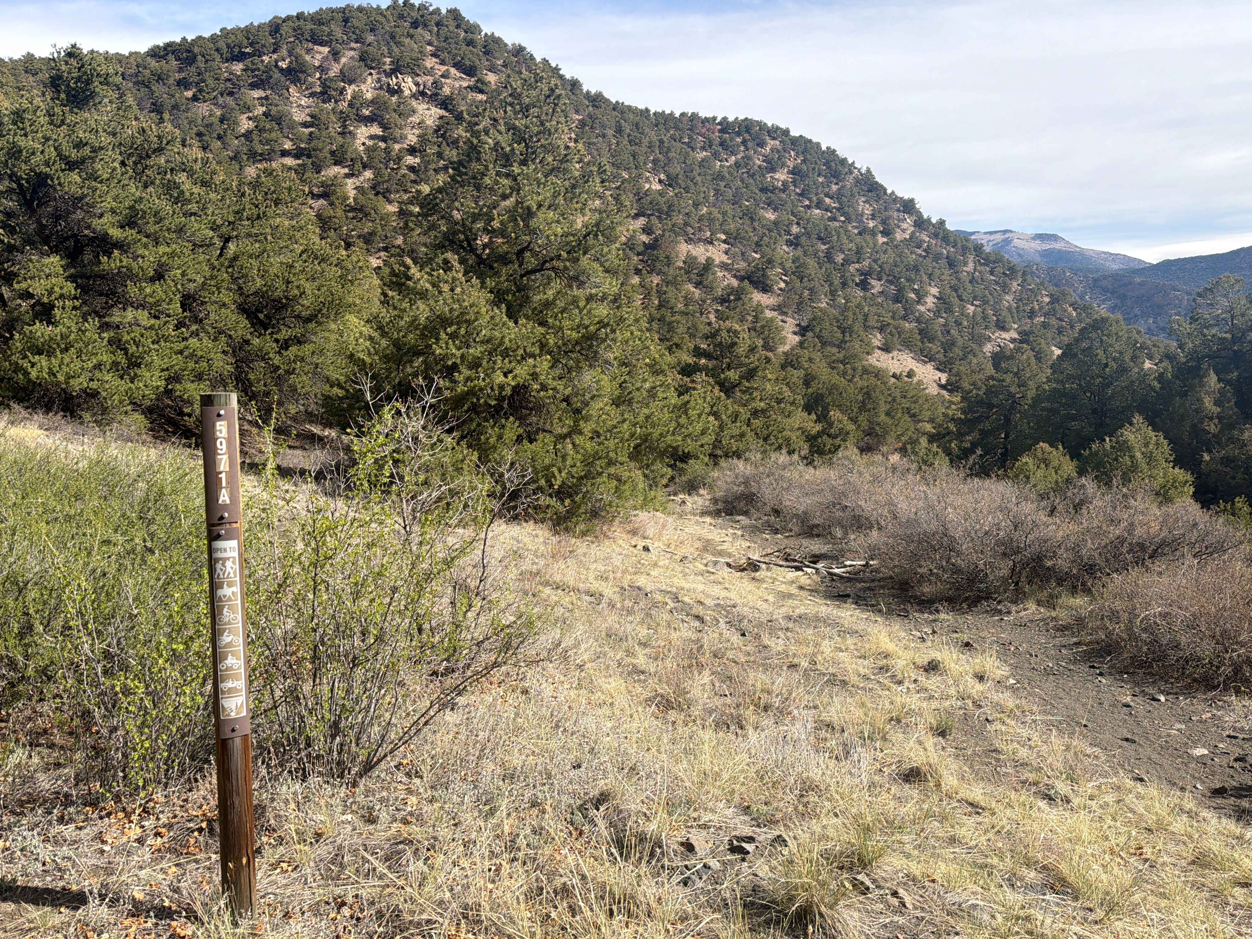
Trail Overview
This almost 2 mile long ATV trail goes south to north through the Wolford Riding Area, with great views as it gets above 8,000 feet elevation. It's a desert two-track that starts out very straight and fast on top of the mesas covered in sage brush. It climbs up to a ridgeline and goes along the rim of the mesa, overlooking the steep slopes at the edge of the mesa. As it nears its high point, it becomes more steep and rocky on the edge of the mesa. It has troughs filled in with loose rocks, making the ground really chopped up and harder to get traction. It gets up to a high point and you can see the reservoir in the distance. It becomes really faint and overgrown with grass at the high point, but the trail picks back up as it descends back down, which is also a steep descent. It overlooks a scenic ravine on the north end, before ending on another dirt road.
Photos of Antelope Pass ATV

Difficulty
This is an intermediate ATV trail due to a pretty steep climb near the north end that is loose and rocky and will add a challenge for most riders.
Status Reports
Antelope Pass ATV can be accessed by the following ride types:
- ATV (50")
- Dirt Bike
Antelope Pass ATV Map
Popular Trails
Red Elephant Hill, Mill Creek Loop
La Salle Pass County Road 46
The onX Offroad Difference
onX Offroad combines trail photos, descriptions, difficulty ratings, width restrictions, seasonality, and more in a user-friendly interface. Available on all devices, with offline access and full compatibility with CarPlay and Android Auto. Discover what you’re missing today!