Trail 6 (12E50)
Total Miles
3.9
Technical Rating
Best Time
Spring, Summer, Fall
Trail Type
Single Track
Accessible By
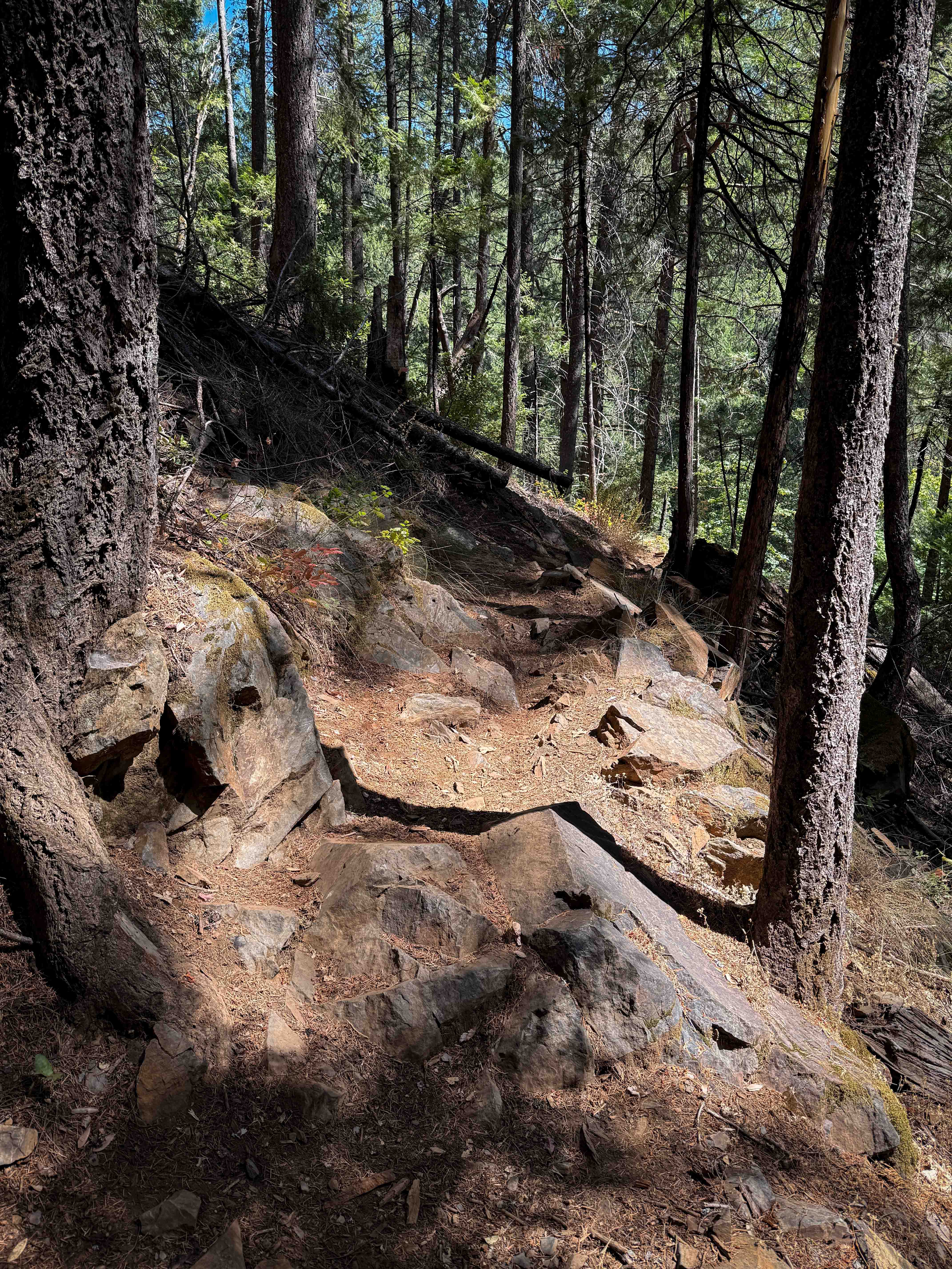
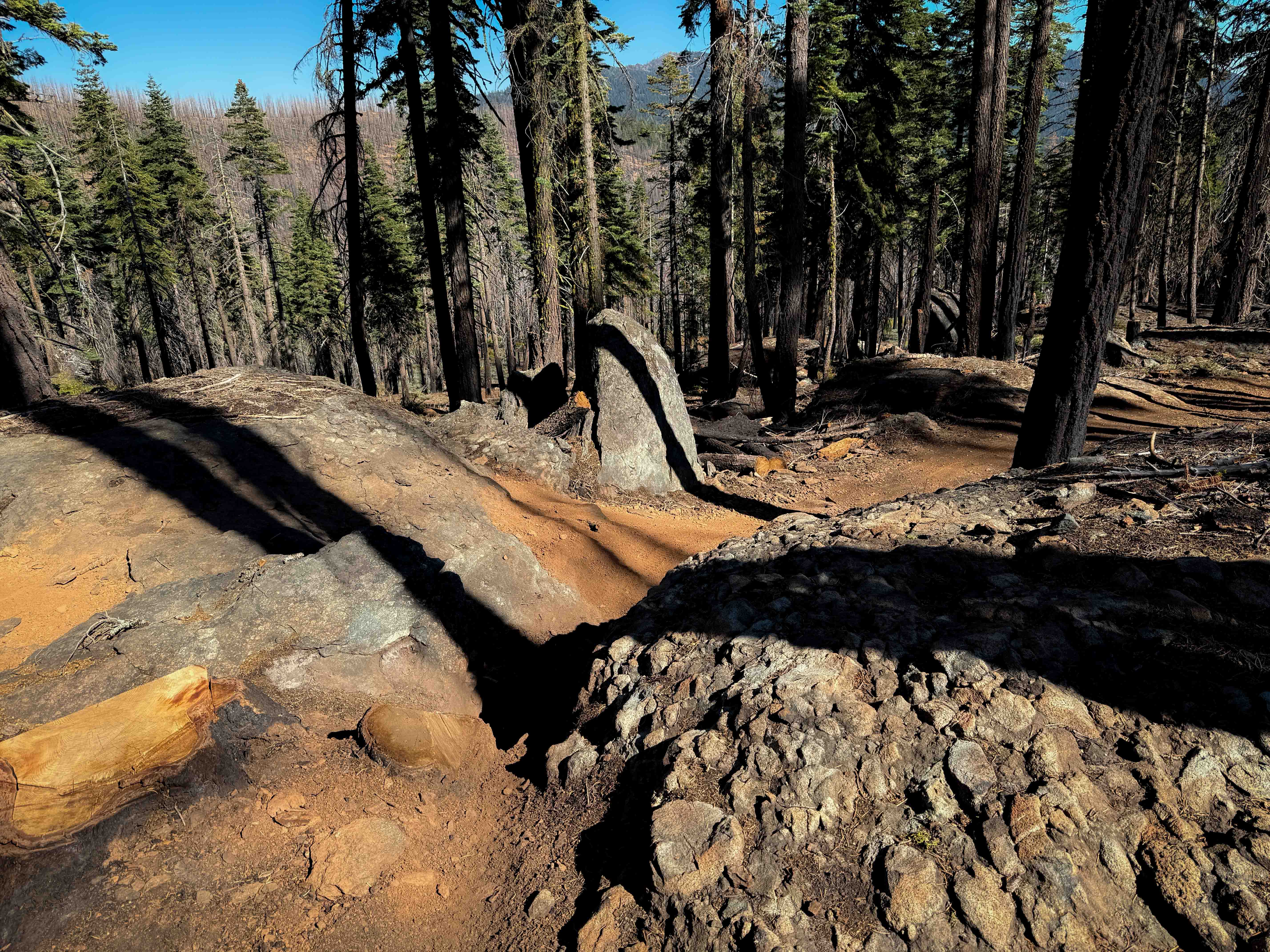
Trail Overview
Trail 6 starts out as an easy single track meandering on the edge of a hillside underneath a canopy of trees like a tunnel, with some tight turns along the hillside, moderate exposure, and a few chunky, large embedded boulders in the beginning. Watch for downed logs or roots sticking out over the trail. It has mostly mild grades, with a few steeper sections, but it steadily climbs for the first half of the trail, then descends through the forest, hugging the curvature of the mountain. The trail is well-maintained, with wooden bridges over the creek crossings. There's one tight switchback that has been built up with cinderblocks, where you have to make a tight turn next to moss-covered rocks. It climbs up the mountainside, and you'll experience a bit more exposure as it's shelfy and narrow in spots, with big roots that are dry and not too hard to go up. There was one large and off-camber downed log at an angle in a narrow and exposed spot that makes it hard to get over without sliding down the trail, which will likely require lifting bikes or teamwork to get over the log. This is a pretty fun trail in a unique setting, as it goes through a mix of drier open hillsides and darker, lusher forest. Most of the southern half of the trail has been widened and cleared for forestry work, and is more like a road, until another segment of the trail departs from the logging road (look for the trail sign) and continues for the last 0.7 miles of the route. The south end of the trail ends on a forest road that takes you to Rock Creek Road.
Photos of Trail 6 (12E50)

Difficulty
Most of the trail is of moderate difficulty, with only one big switchback, and some medium exposure in the narrow sections. There are mild roots and rocks. The off-camber log raises the difficulty, as it could be difficult to get over alone, but this could be cleared in the future.
Status Reports
Trail 6 (12E50) can be accessed by the following ride types:
- Dirt Bike
Trail 6 (12E50) Map
Popular Trails
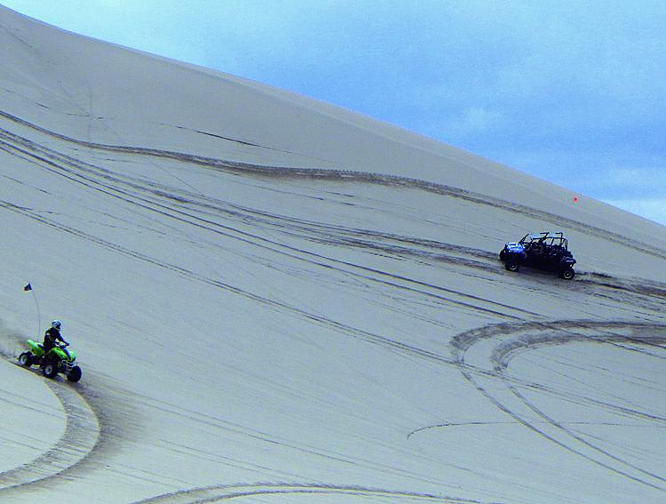
Dumont Dunes

Renstock Ridge - 2N79
Upper Tollgate
The onX Offroad Difference
onX Offroad combines trail photos, descriptions, difficulty ratings, width restrictions, seasonality, and more in a user-friendly interface. Available on all devices, with offline access and full compatibility with CarPlay and Android Auto. Discover what you’re missing today!