Trail 6-1 (11E28)
Total Miles
1.0
Technical Rating
Best Time
Spring, Summer, Fall
Trail Type
Single Track
Accessible By
Trail Overview
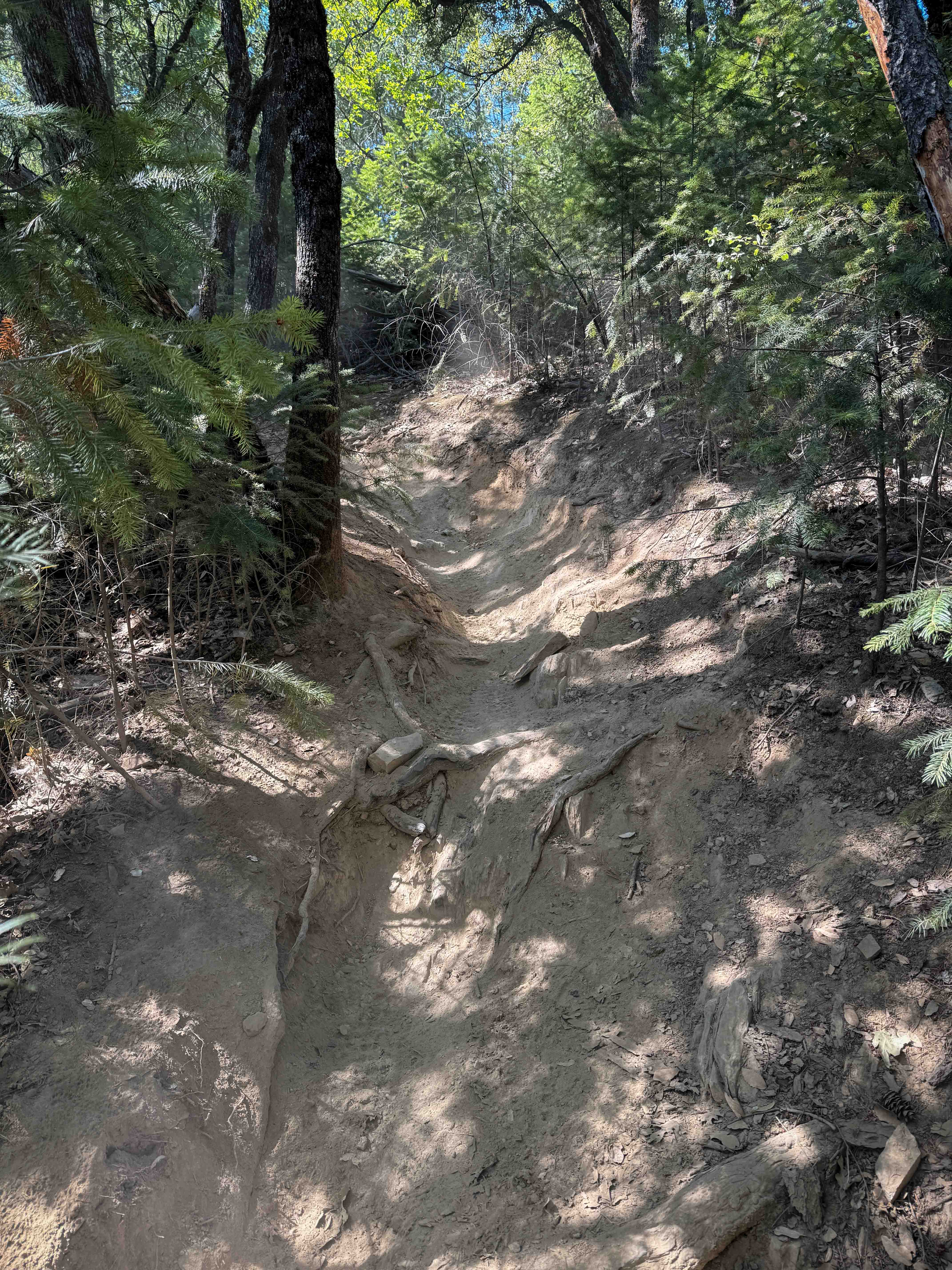
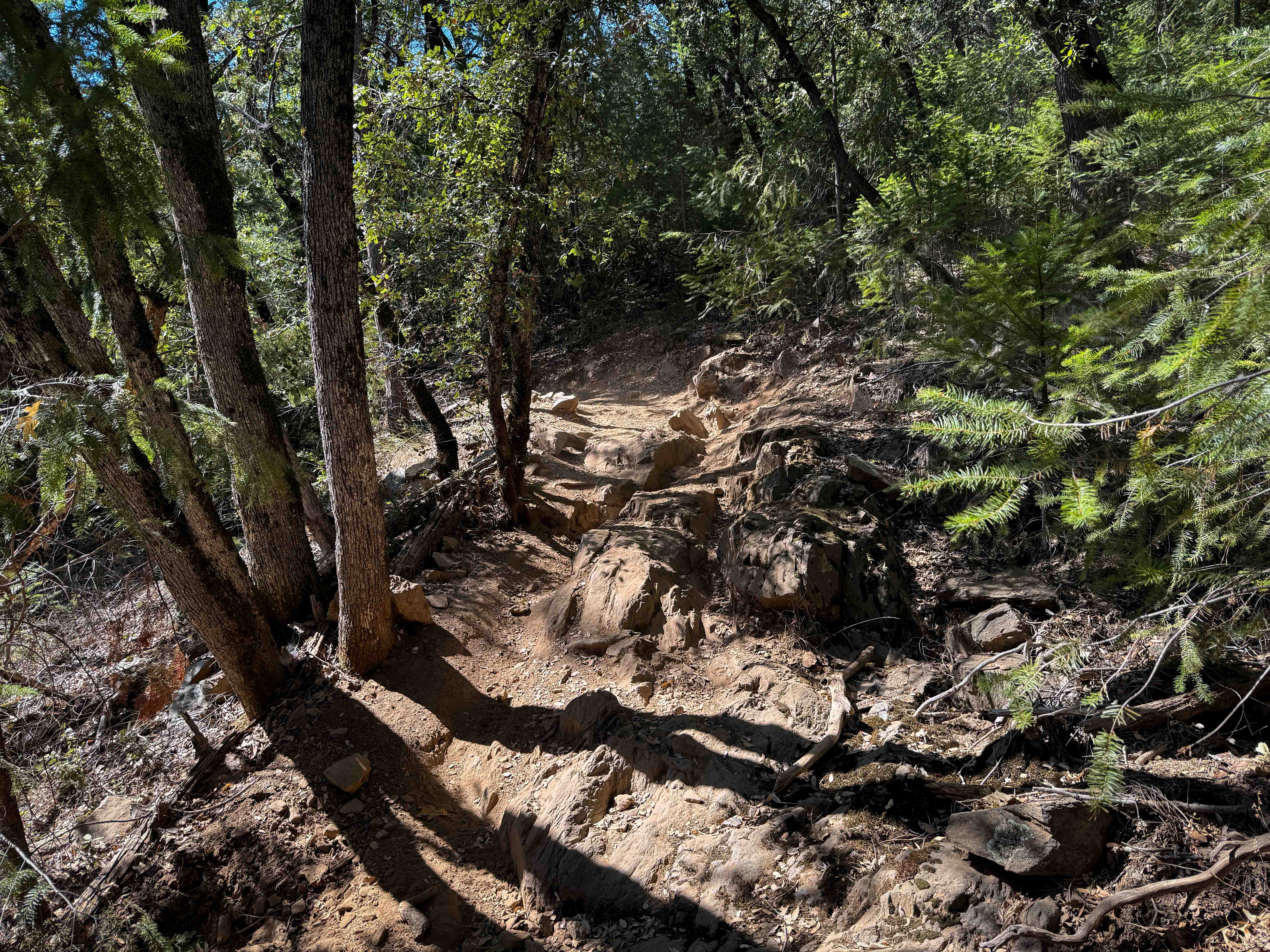
The north end of Trail 6-1 starts from an intersection with Trail 1, and goes through a tree corridor of curving Big Manzanita trees, on dry dusty dirt, with lots of loose rock. It curves through the trees, with some root bands across the trail creating small drop-offs. There are a couple of moderate rock features along the route, including some big embedded boulders with cracks down the middle that you have to either ride through the crack or take the high line. There are only a few other spots with embedded rock, but it is mostly fast and flowy on smooth dirt, with a few steeper climbing or descending spots. The southern half of the trail gets pretty wide through the trees before dropping down to Forest Service Road 12E50.
Photos of Trail 6-1 (11E28)
Difficulty
This is an intermediate trail due to a couple of moderate rock features that will test the skills of newer riders. The rest of the trail is easier, with minor features such as roots and ruts and tight turns.
Status Reports
Trail 6-1 (11E28) can be accessed by the following ride types:
- Dirt Bike
Trail 6-1 (11E28) Map
Popular Trails
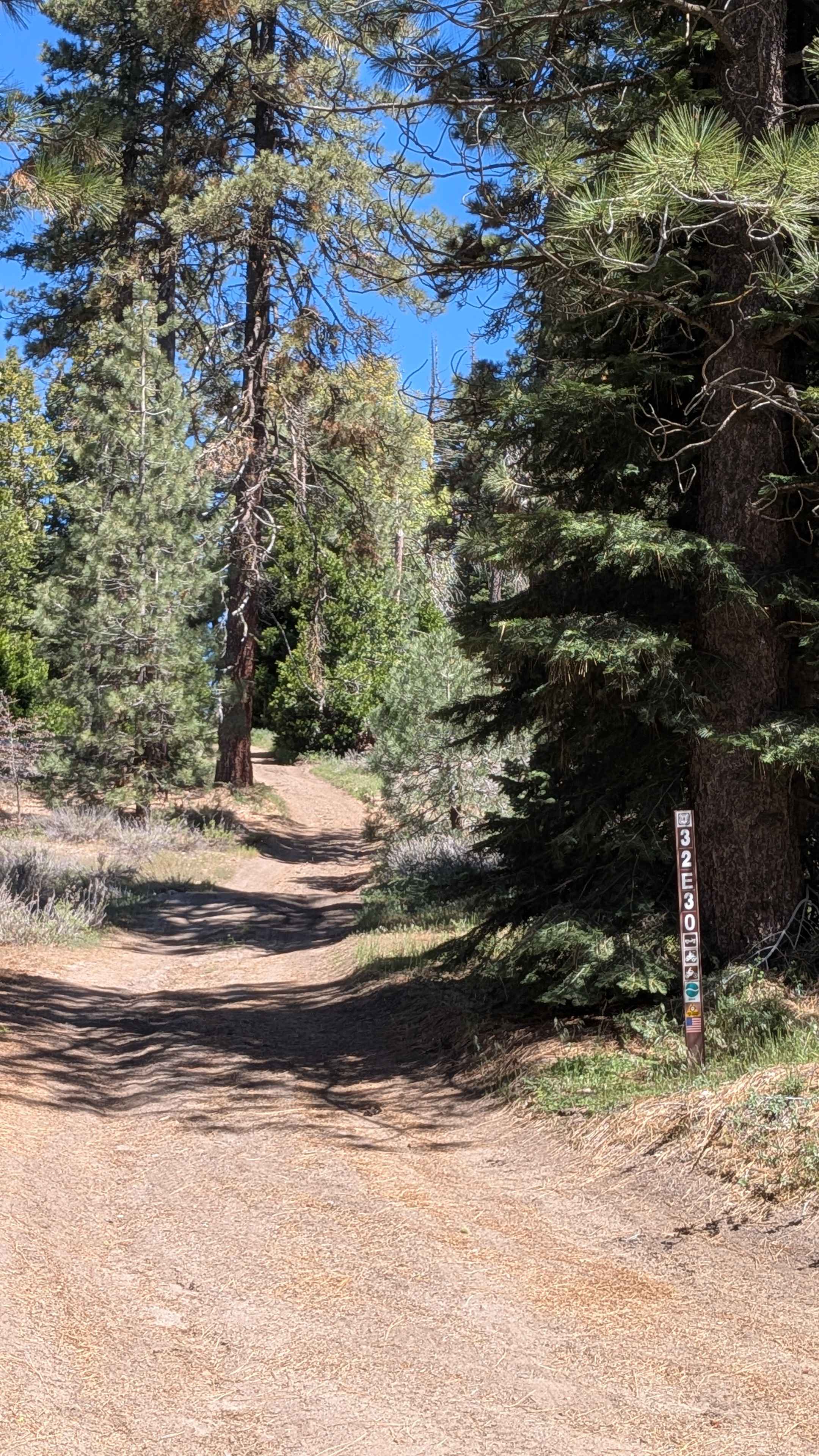
North Evans - FS 32E30

Corral Canyon Road
Military Wash
Goler Wash & Mengel Pass
The onX Offroad Difference
onX Offroad combines trail photos, descriptions, difficulty ratings, width restrictions, seasonality, and more in a user-friendly interface. Available on all devices, with offline access and full compatibility with CarPlay and Android Auto. Discover what you’re missing today!