Tie 3-1
Total Miles
1.8
Technical Rating
Best Time
Spring, Summer, Fall
Trail Type
Single Track
Accessible By
Trail Overview
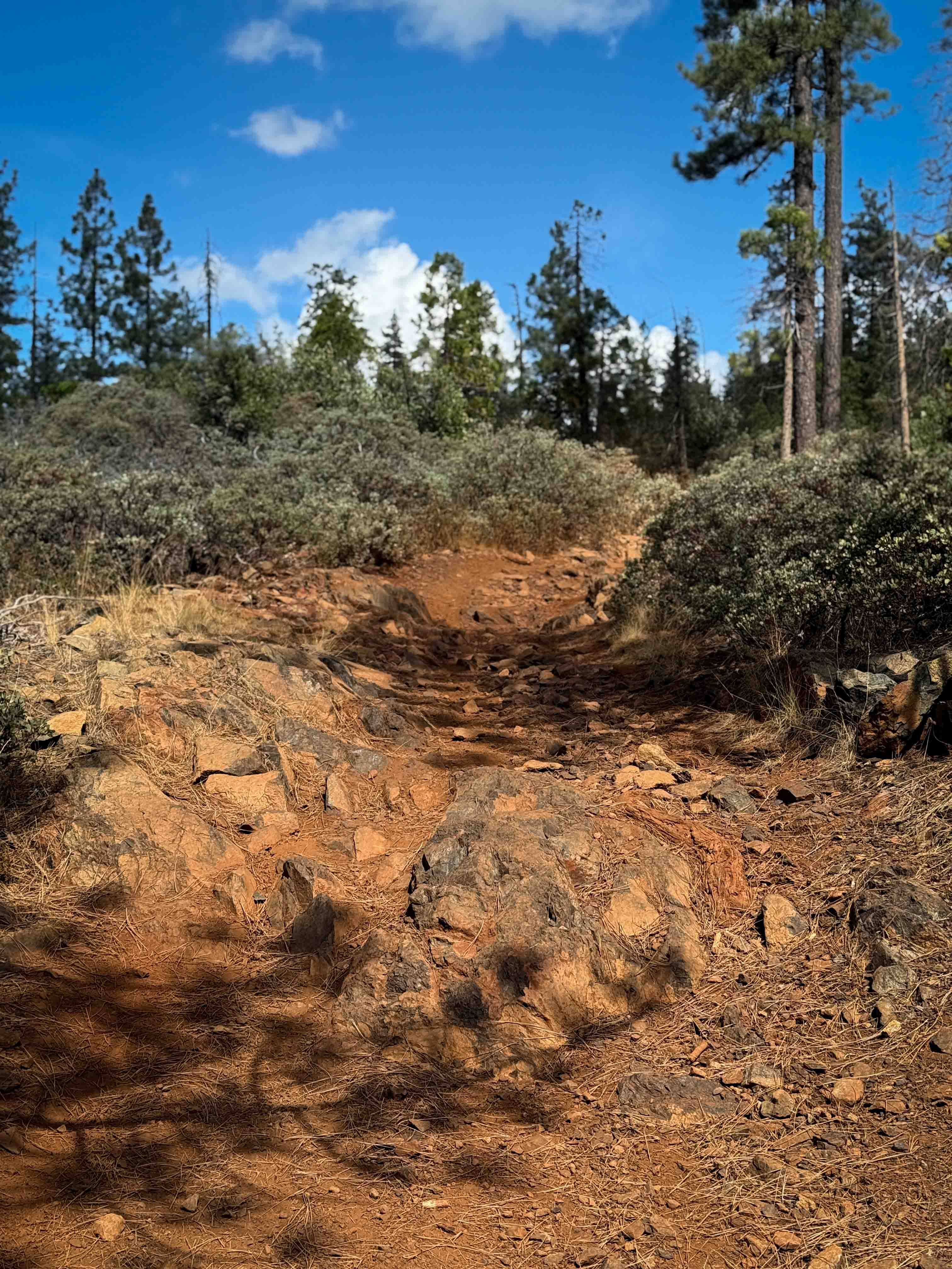
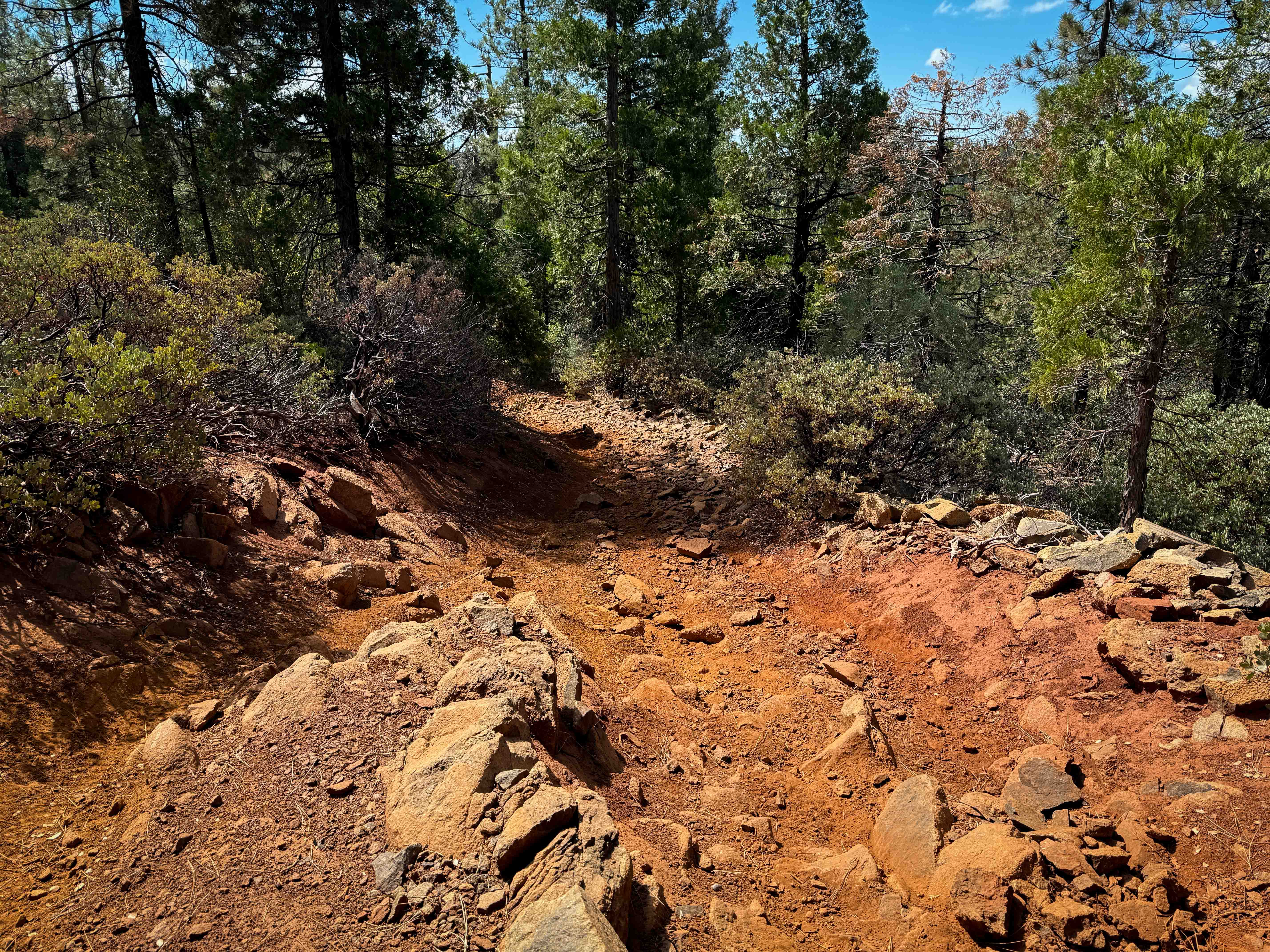
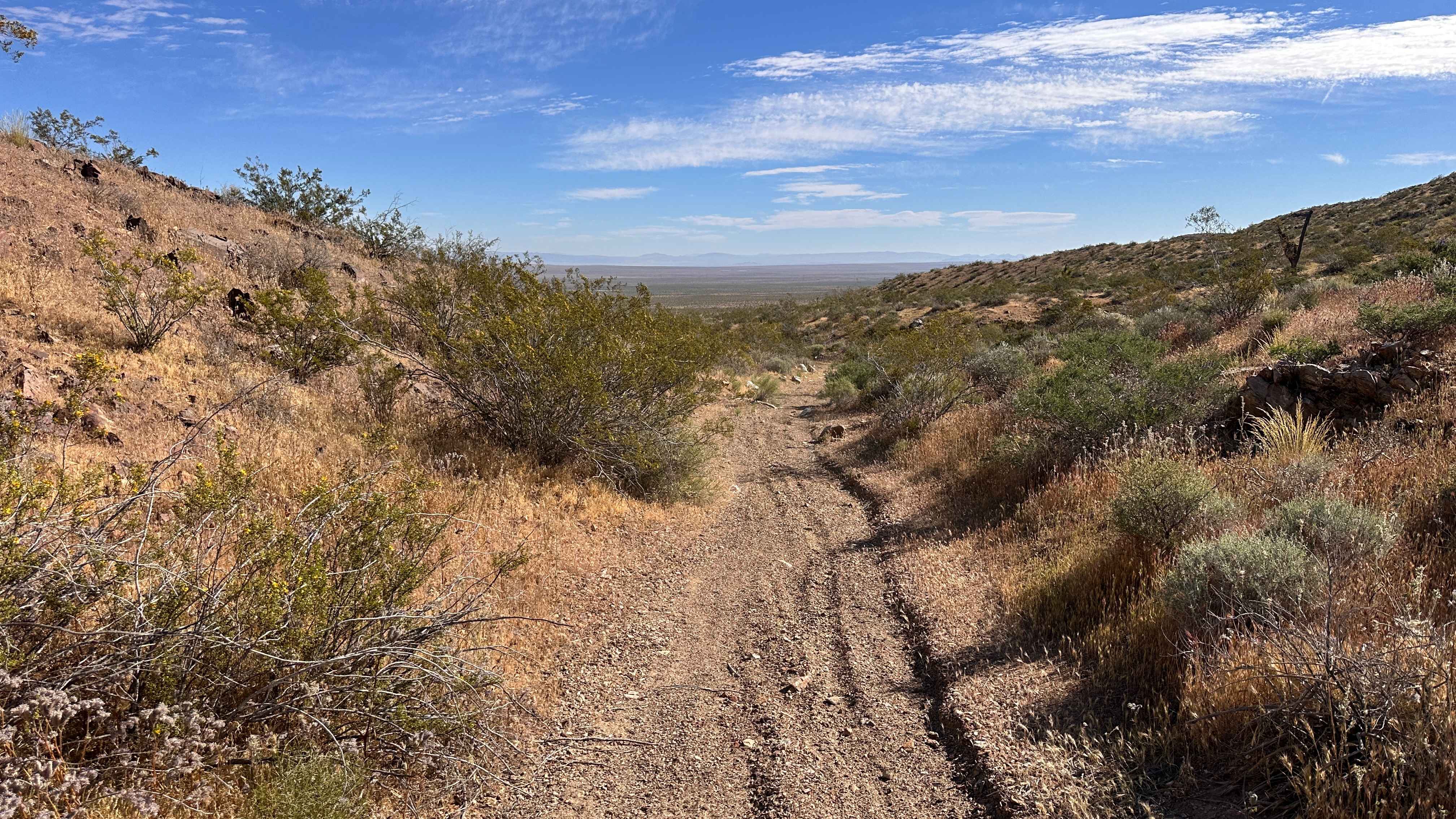
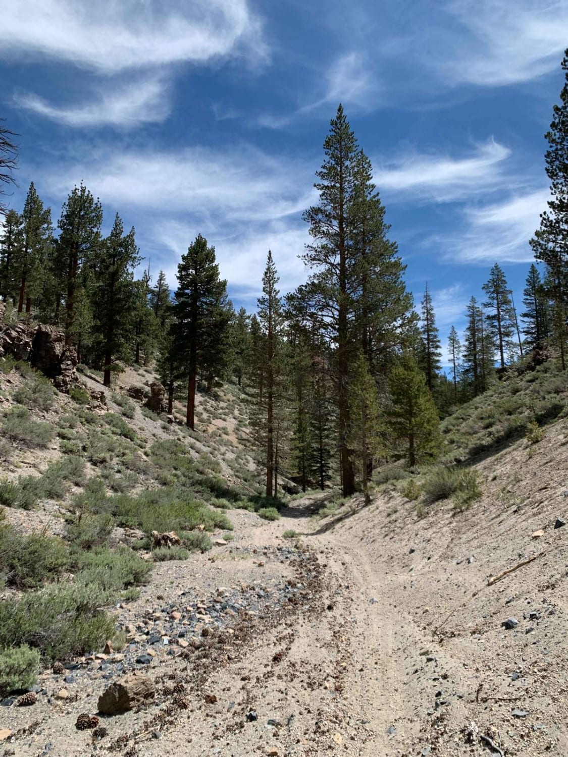
Tie 3-1 is a 1.8-mile-long dirt bike trail that links Loop 4 to Loop 3 and is one of the harder routes in the Sugar Pine area. The trail is rocky throughout, with steeper sections covered in loose rock that fills in the ruts and makes traction more challenging on top of the loose dusty dirt. Larger embedded rocks and several moderate rock ledges or stair steps around a foot tall are common, keeping the terrain moderately technical. From the north entrance, the trail descends roughly 400 feet in the first half, before climbing almost 700 feet in the second half. The route crosses a rocky ravine that had standing water in late summer, with likely more water during wetter months. It crosses a couple of wide open hillsides lined with manzanita bushes, allowing for some views over the forest, but the rest of the trail is mostly socked in to the pine forest.
Photos of Tie 3-1
Difficulty
This is an intermediate trail because of its steeper grades, constant rockiness, and several ledges and stair steps. The combination of climbs, loose surfaces, and embedded rock features sets it apart as one of the more technical dirt bike trails near the Sugar Pine staging area.
Status Reports
Tie 3-1 can be accessed by the following ride types:
- Dirt Bike
Tie 3-1 Map
Popular Trails

Sharks - FS 5S057
Devil's Saddle
Coachwhip Canyon
Dry Creek Gulch (28E210)
The onX Offroad Difference
onX Offroad combines trail photos, descriptions, difficulty ratings, width restrictions, seasonality, and more in a user-friendly interface. Available on all devices, with offline access and full compatibility with CarPlay and Android Auto. Discover what you’re missing today!