Tie 2-1
Total Miles
1.0
Technical Rating
Best Time
Spring, Summer, Fall
Trail Type
50" Trail
Accessible By
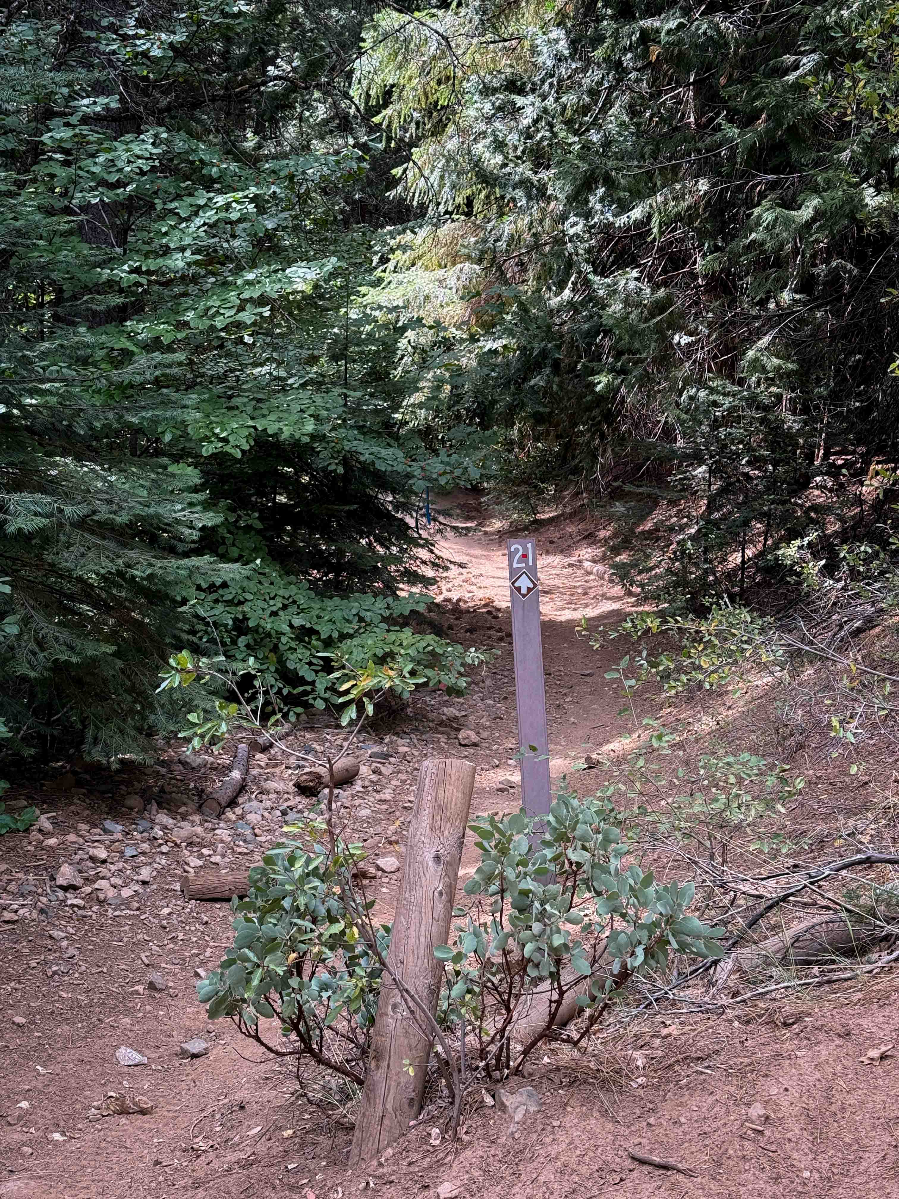
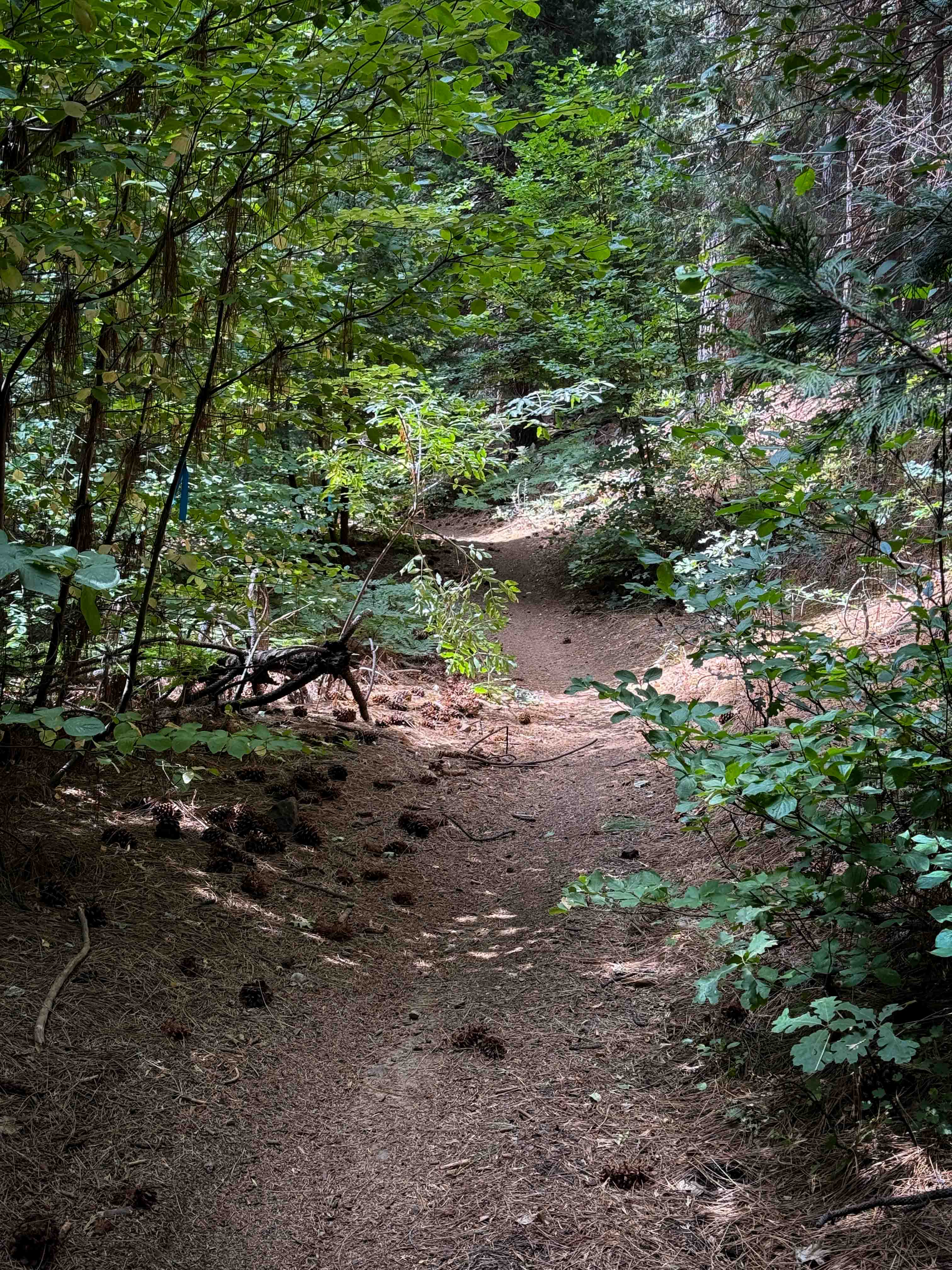
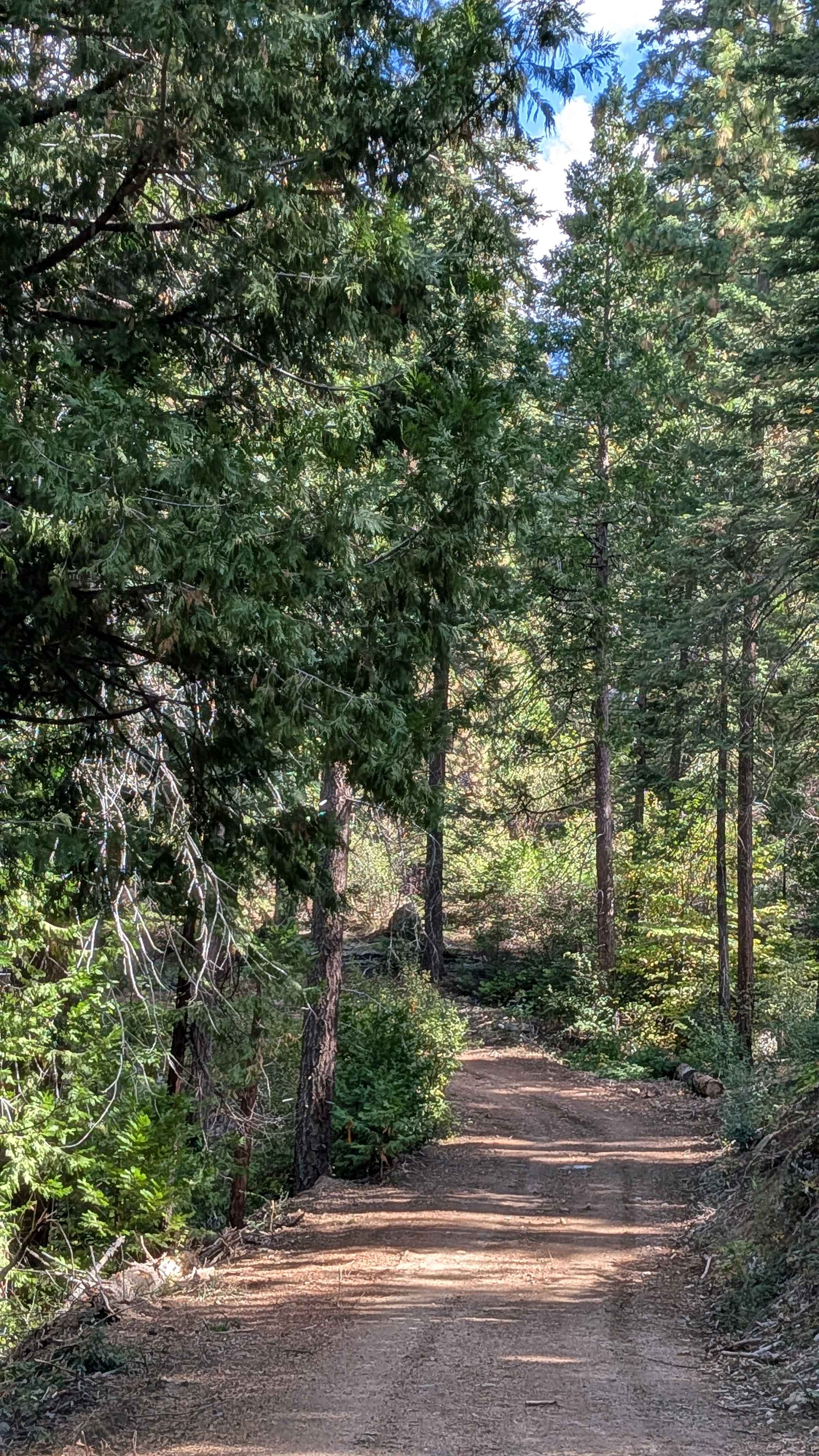
Trail Overview
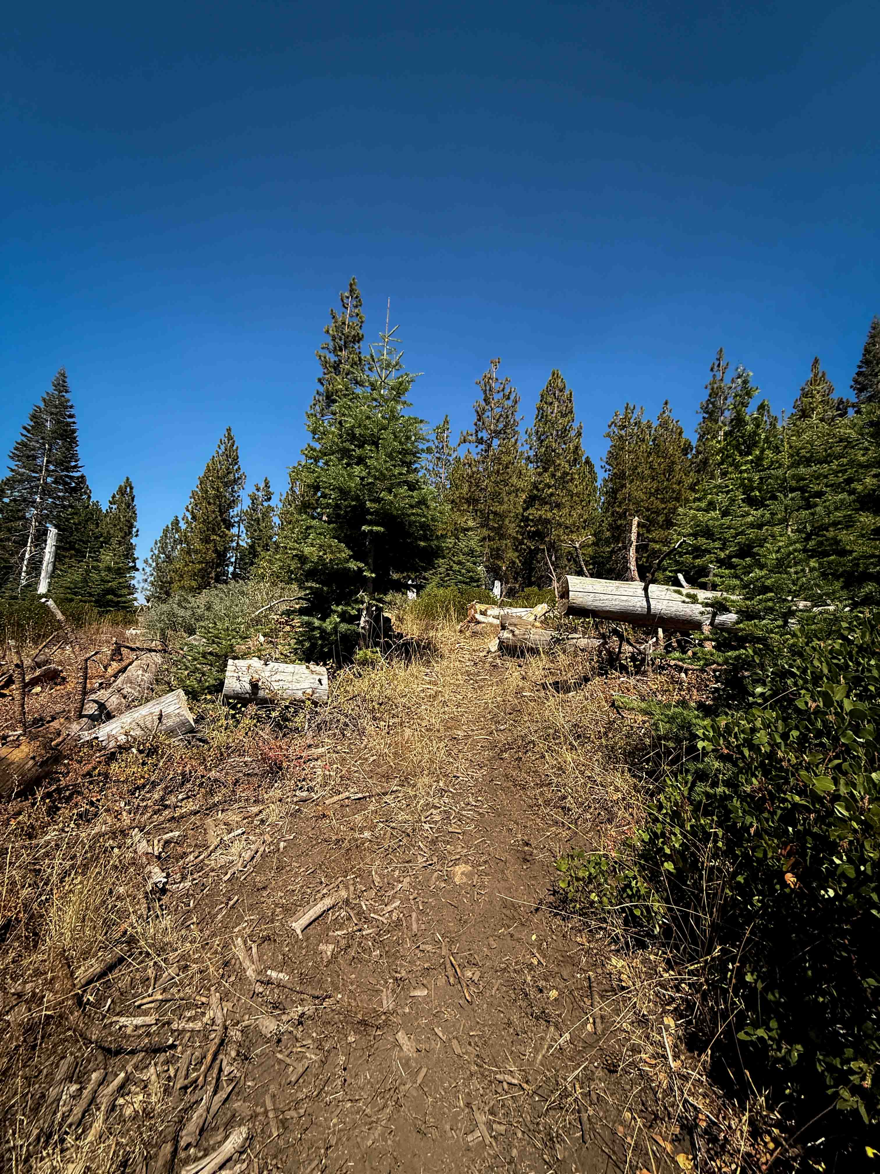
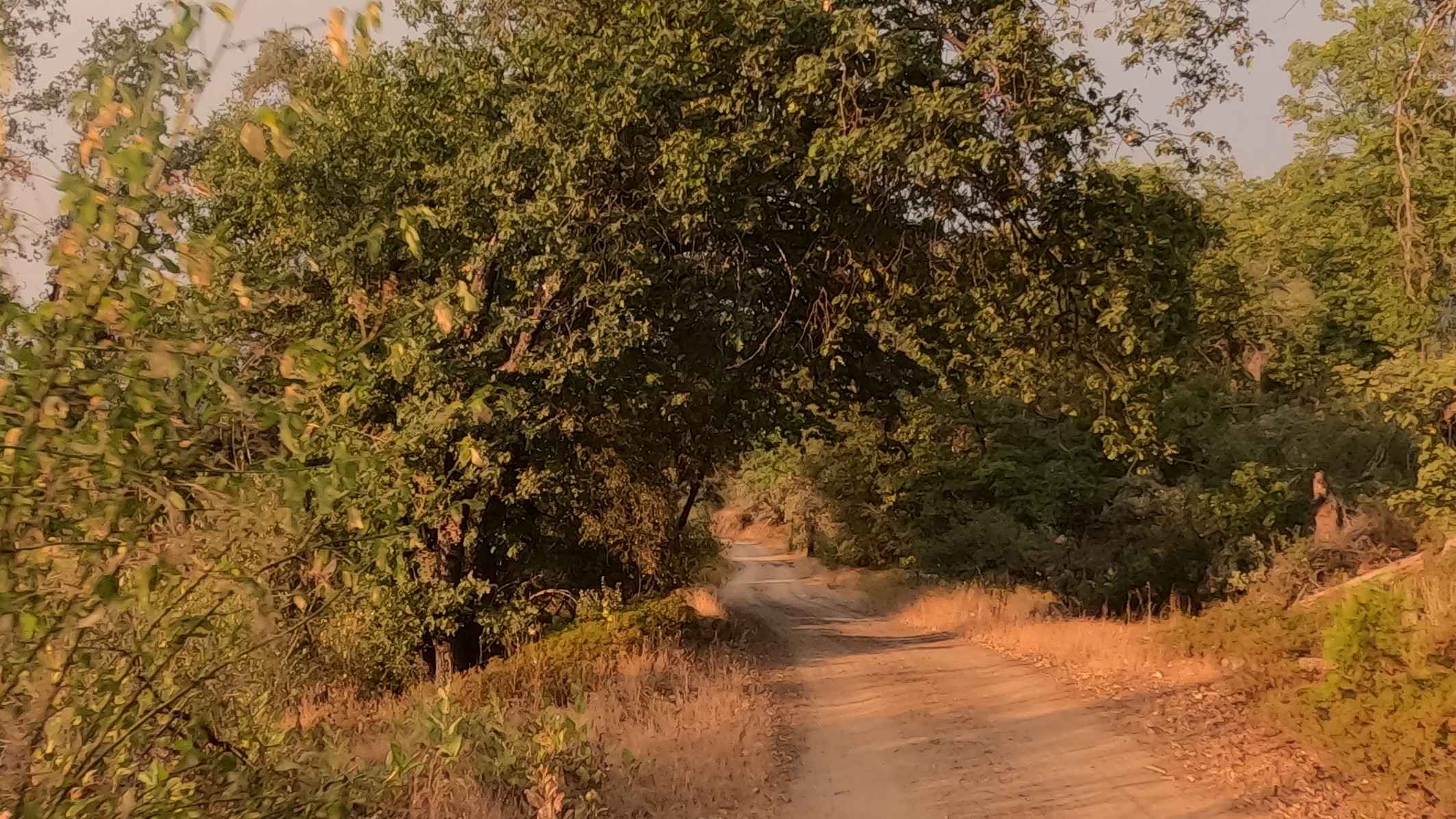
This is a one-mile-long connector trail between Loop 2 and Loop 1. The trail is pretty wide the whole way, remaining easy for ATV and dirt bike riders. Its surface is smooth dirt with waterbars, minor ruts, and potential for downed logs, but no major obstacles. It's littered with pine cones, shaded by Pacific dogwood and Jeffrey Pine trees, and lined with ferns and manzanita bushes. The trail is mostly straight and fast, not very curvy, and has good visibility through the open forest. This connector parallels the northernmost section of Loop 2, only cutting off a small portion of Loop 2 when connecting to Loop 1, mostly just providing an alternate route.
Photos of Tie 2-1
Difficulty
This is an easy connector route with no major obstacles, ideal for riders of all skill levels. The trail is mostly flat, smooth, and straight, keeping the difficulty level low.
Status Reports
Tie 2-1 can be accessed by the following ride types:
- ATV (50")
- Dirt Bike
Tie 2-1 Map
Popular Trails
Mill Canyon Road
West Malum Ridge - FS 7S075
The onX Offroad Difference
onX Offroad combines trail photos, descriptions, difficulty ratings, width restrictions, seasonality, and more in a user-friendly interface. Available on all devices, with offline access and full compatibility with CarPlay and Android Auto. Discover what you’re missing today!