Superstition Mountain - BLM 341
Total Miles
4.7
Technical Rating
Best Time
Winter, Fall, Spring
Trail Type
Full-Width Road
Accessible By
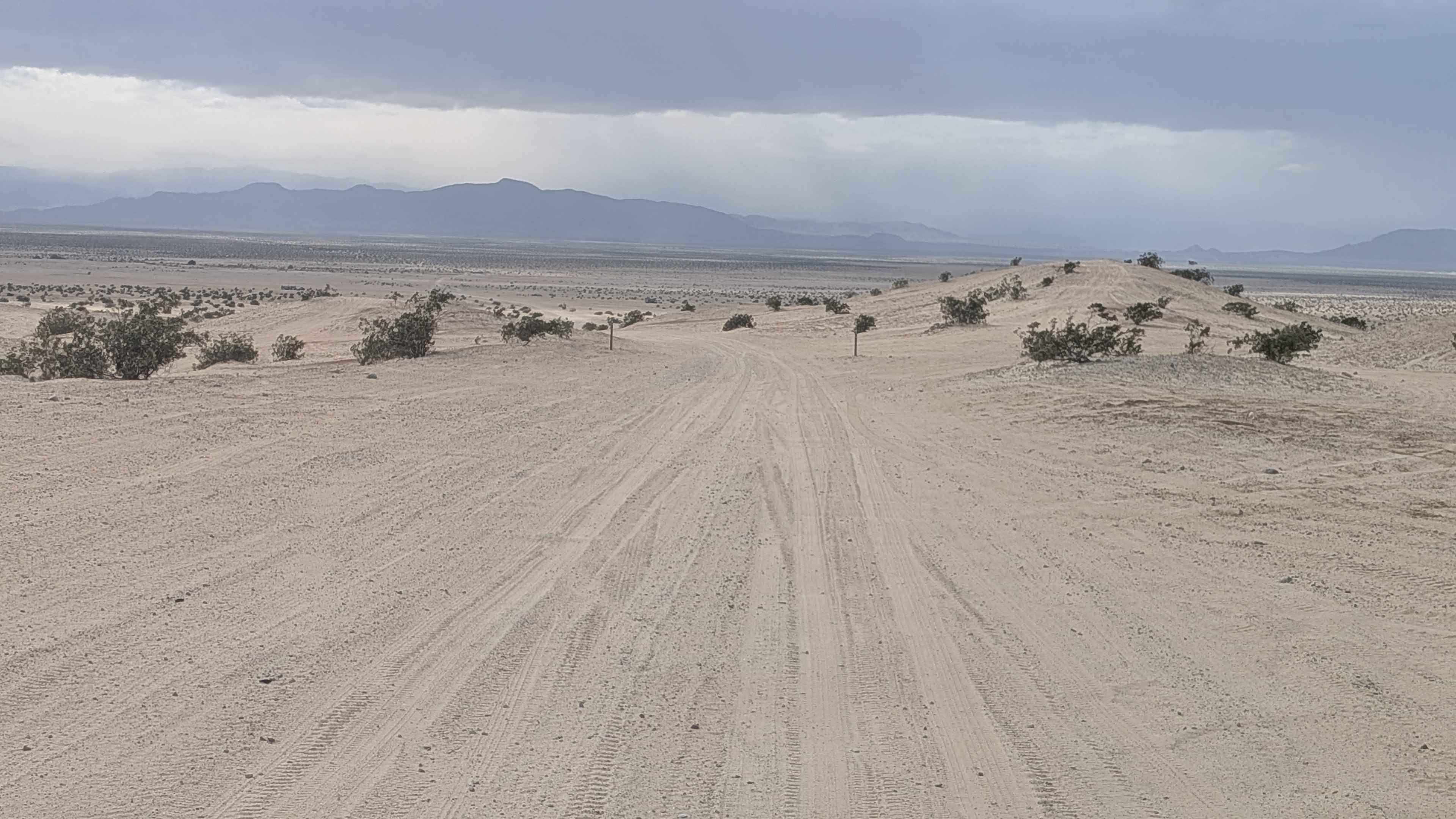
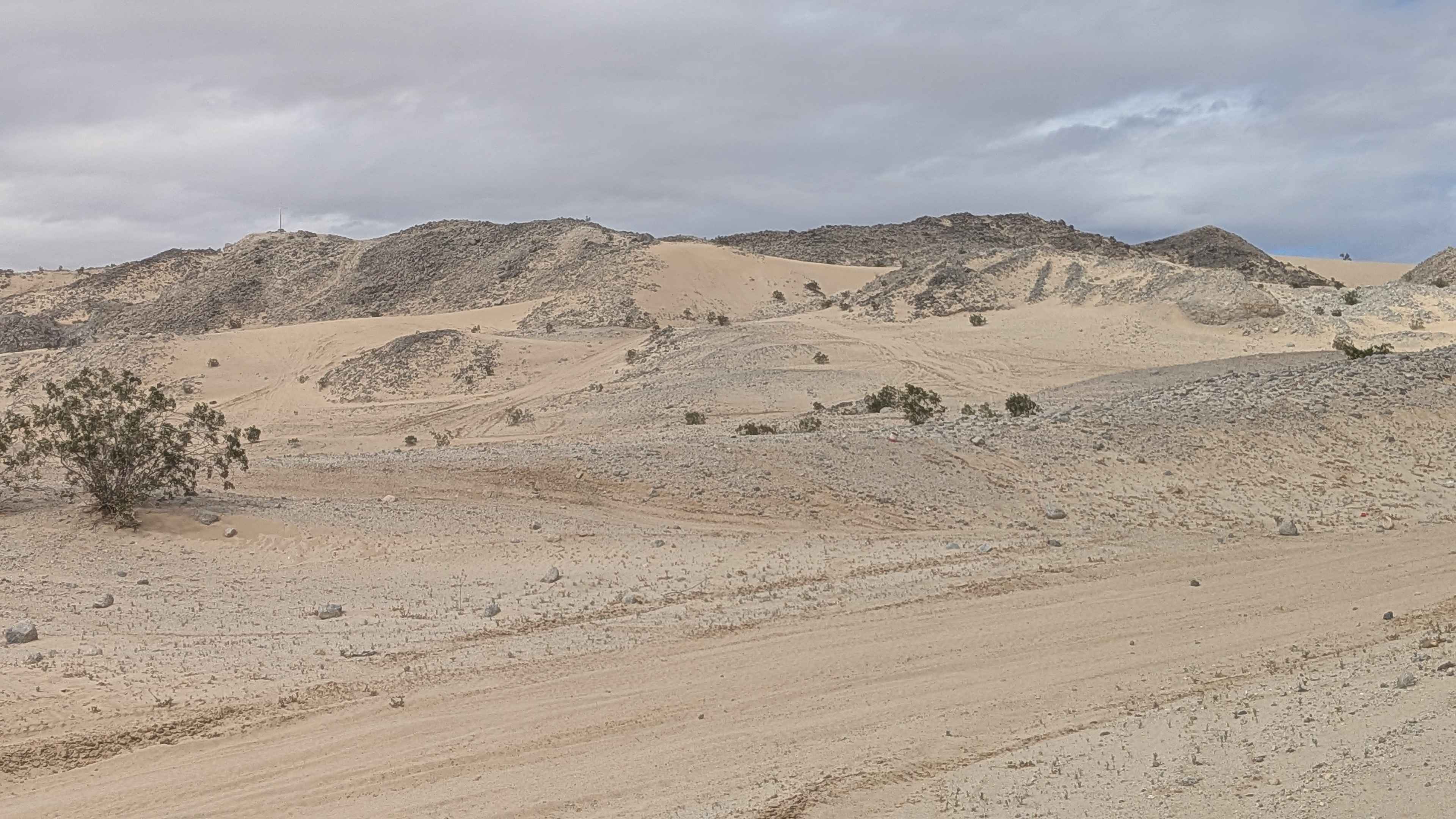
Trail Overview
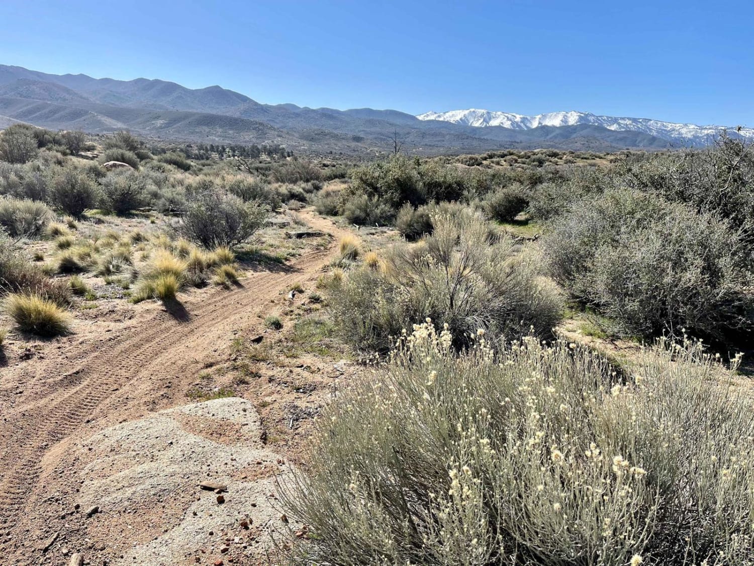
This out-and-back trail serves as a main artery going from Wheeler Road to the southeast side of Superstition Mountain. The surface is fine sand and is 2 to 3 vehicles wide, providing excellent room for navigation and passing. The route is lined with lots of creosote bushes throughout. You'll encounter lots of whoops creating a bouncy, flowing ride. There are lots of opportunities to disperse camp in the area, but note that there are areas where camping is not allowed, so look for the signs. The southern section of this trail is one of those no-camping areas. The Coyote Mountains are in the backdrop as you head south, providing scenic views. The trail ends at the border of the US Navy bombing and training ground, where no access is allowed.
Photos of Superstition Mountain - BLM 341
Difficulty
This is an easy main artery trail with a fine sand surface and a generous width, making navigation comfortable. The lots of whoops add excitement and will bounce you around, but aren't technical obstacles. The wide 2 to 3 vehicle width provides plenty of room to find the best line through the whoops. Airing down is recommended for the fine sand conditions. Respect the no camping zones and the US Navy boundary at the end.
Status Reports
Superstition Mountain - BLM 341 can be accessed by the following ride types:
- High-Clearance 4x4
- SUV
- SxS (60")
- ATV (50")
- Dirt Bike
Superstition Mountain - BLM 341 Map
Popular Trails
Hanging Rock Loop
Lil Bit of Everything ST

Wentworth Springs Trail
The onX Offroad Difference
onX Offroad combines trail photos, descriptions, difficulty ratings, width restrictions, seasonality, and more in a user-friendly interface. Available on all devices, with offline access and full compatibility with CarPlay and Android Auto. Discover what you’re missing today!