Southeast Mono Lake Sand Dunes
Total Miles
0.4
Technical Rating
Best Time
Summer
Trail Type
High-Clearance 4x4 Trail
Accessible By
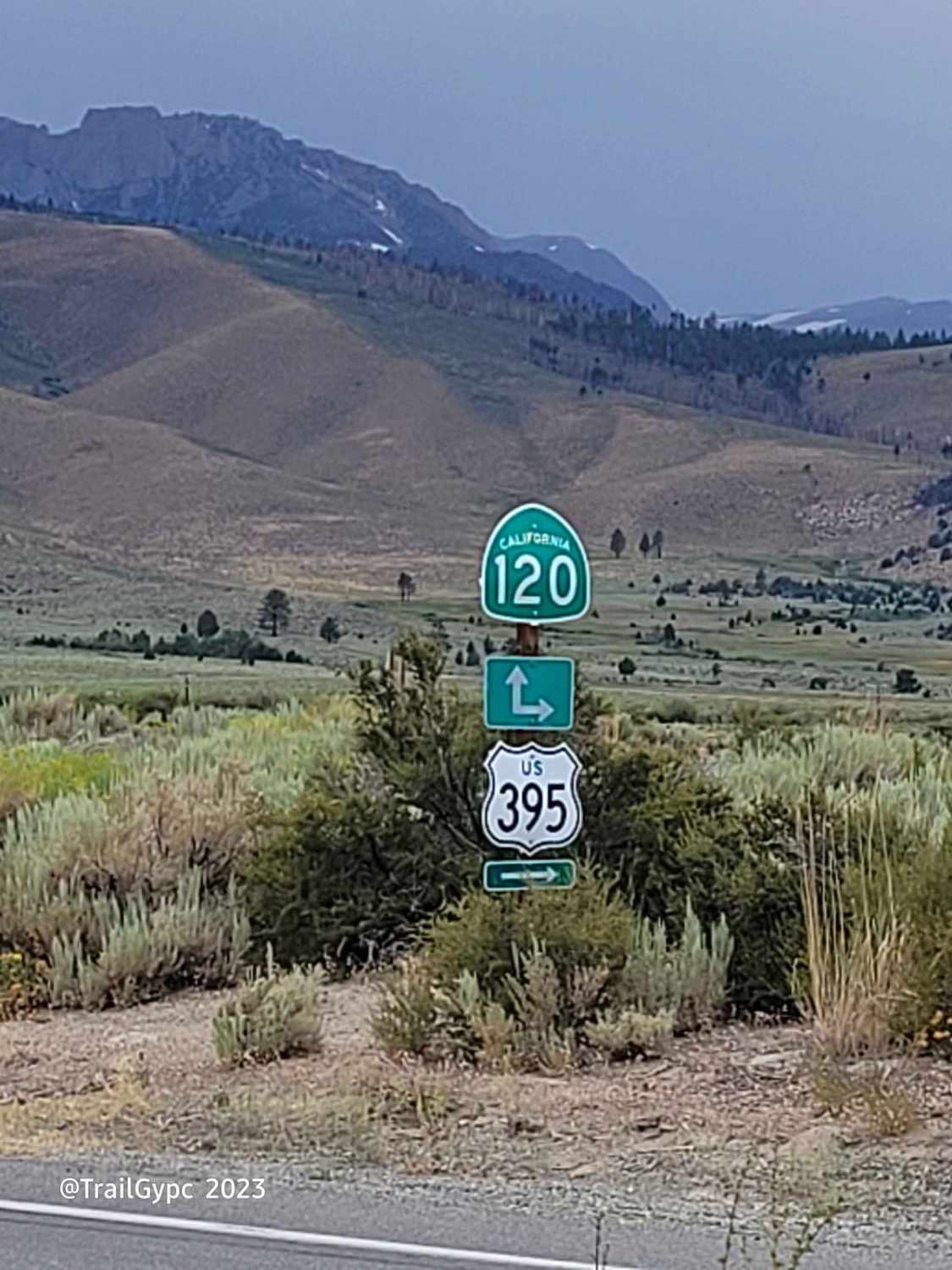
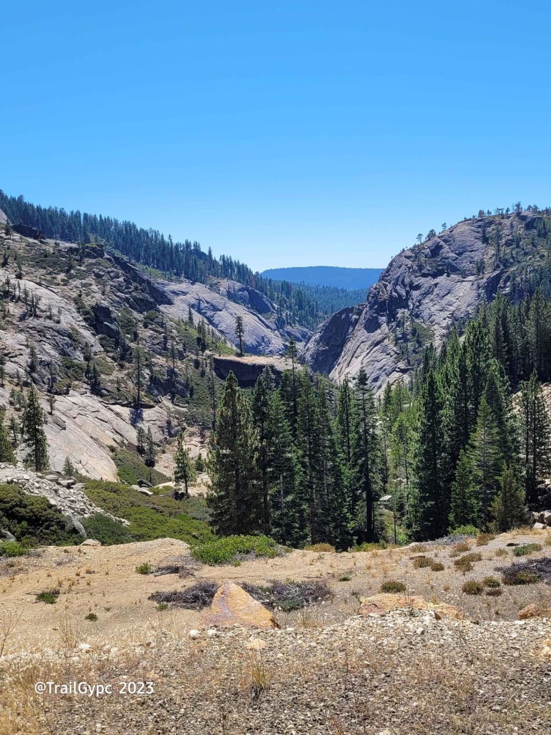
Trail Overview
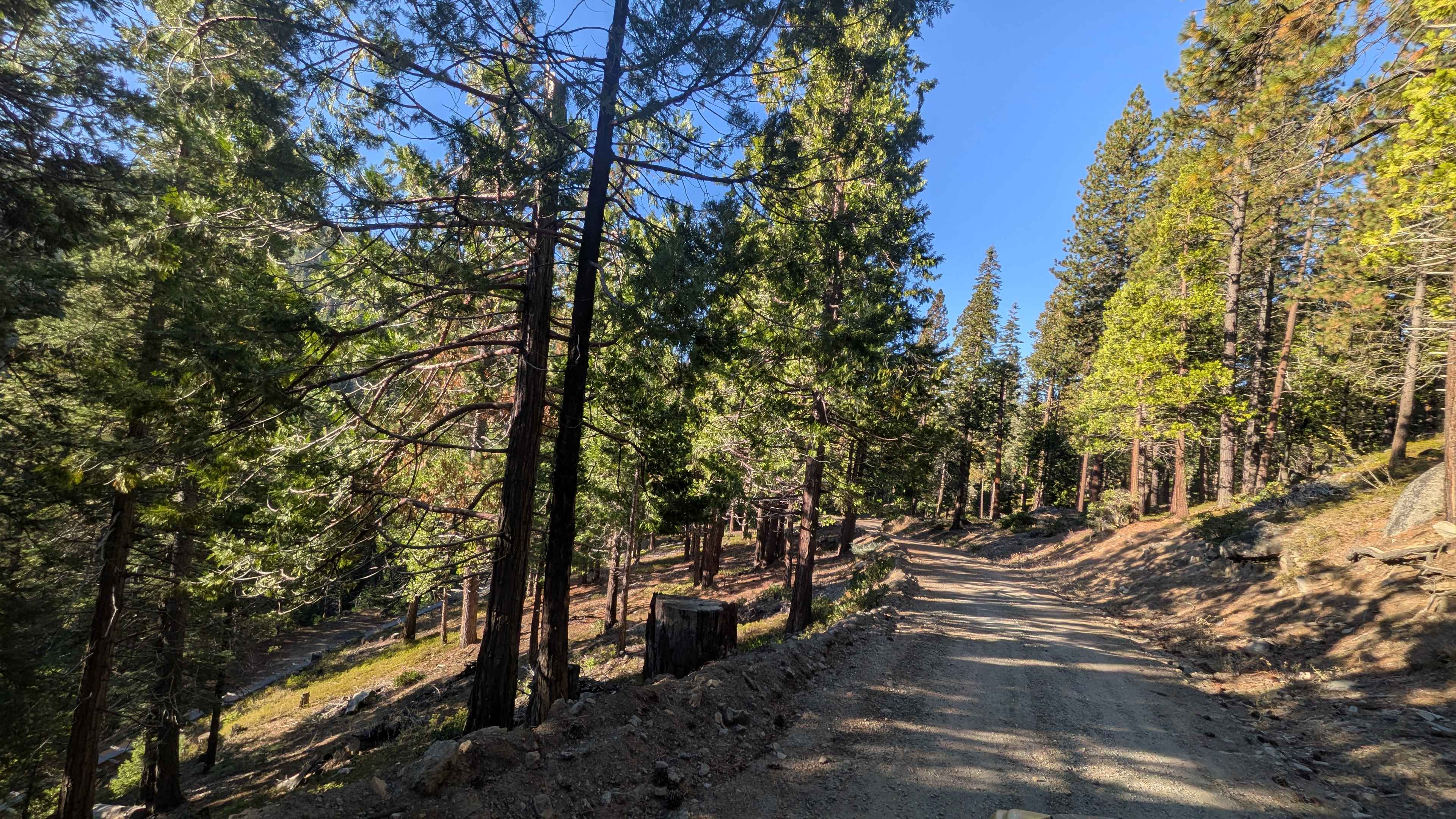
This is a very sandy route to the southeast point of Mono Lake through the dunes. It will take you to a place among giant tuffas. You will not see anyone out here; if you do, it will be only the hardcore sight-seers. You will need 4WD for this route. Not a 2WD route at all. It is an intermediate dune exploration. Keep your speed up in spots so as not to bog down in the deep sand. Not suggested for a late fall or during the winter months run due to flooding and boggy marshes out here. Bring your recovery gear. This route will take you roughly an hour to the point and an hour back. Overall, I run just a bit over 12 miles. When you get here, you will have the quietest shores of Southeast Mono Lake. Walk along the shoreline, take in the tuffa sights, and see tons of warm springs and some very cold ones as well. Please pick up any trash you see out here so the migratory fowl will not get caught in it, even if it is not your trash. Help out the ecosystem. Pack in, pack out, Leave No Trace, and practice Tread Lightly ethics. Pictures shown of the road are from the beginning of this route.
Photos of Southeast Mono Lake Sand Dunes

Difficulty
Intermediate route through the southeast Mono Lake sand dune area. While these are not very high dunes, it is still considered dunes. It is a very narrow route. The farther in you go, the road gets narrower, and there may be pin striping on your vehicle. In some spots, you may need to redirect fast around tall, very old sagebrush. There will be sandy-sloped sharp turns as well as some deep mogul stretches. The straighter part of the route is very wash-boarded in the sand. This is not an easy, mellow going ride.
History
Parts of this trail were once the original Benton-Bodie Railway. While there are no tracks left on this route, one can only imagine the hustle and bustle along the shores of Mono Lake.
Status Reports
Southeast Mono Lake Sand Dunes can be accessed by the following ride types:
- High-Clearance 4x4
- SxS (60")
- Dirt Bike
Southeast Mono Lake Sand Dunes Map
Popular Trails
Pardoe Cutoff
Cedar Creek Loop
Mill Valley Spur C - FS 17N02C
Fraser Flat Road - FS 4N13
The onX Offroad Difference
onX Offroad combines trail photos, descriptions, difficulty ratings, width restrictions, seasonality, and more in a user-friendly interface. Available on all devices, with offline access and full compatibility with CarPlay and Android Auto. Discover what you’re missing today!