16EV258
Total Miles
0.5
Technical Rating
Best Time
Spring, Fall
Trail Type
Single Track
Accessible By
Trail Overview
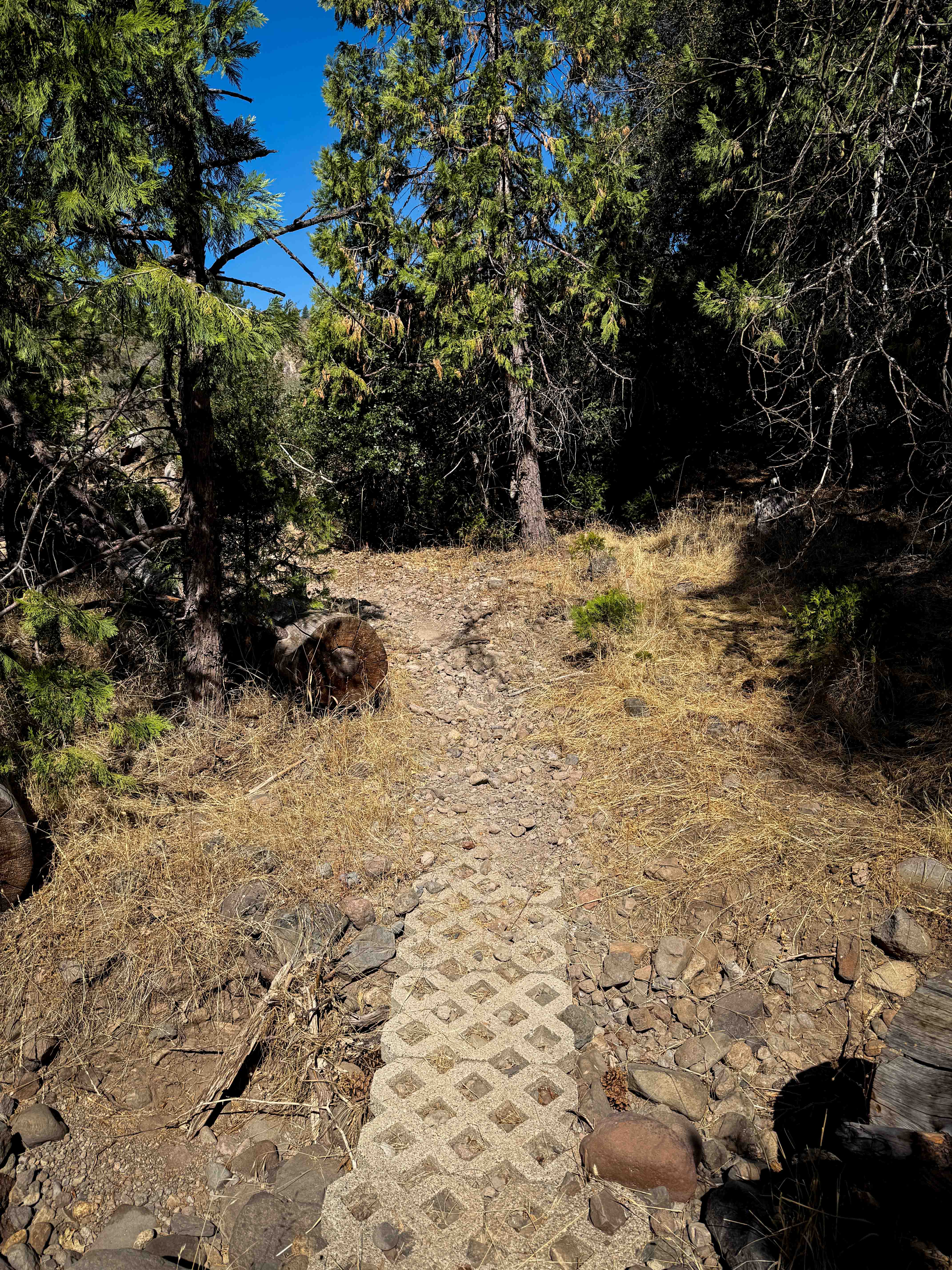
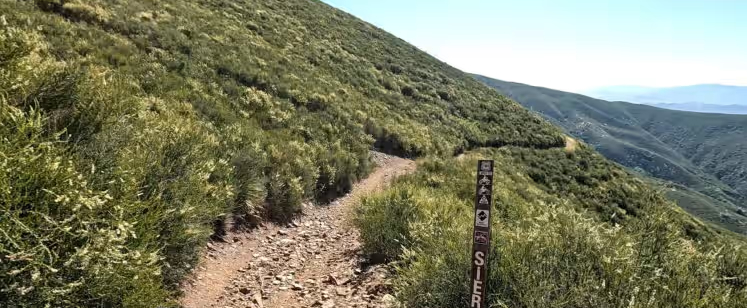
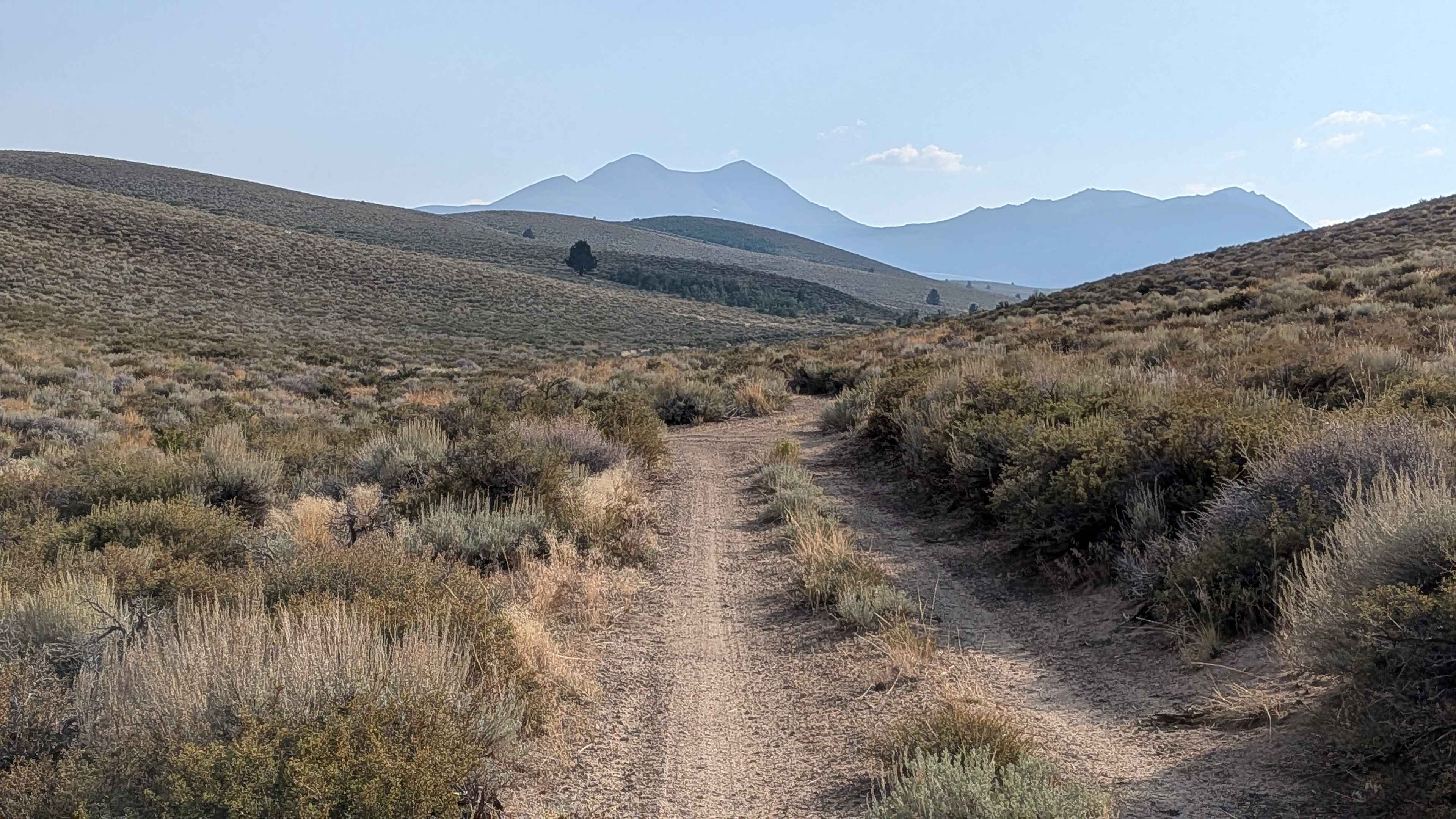
This short trail goes into a thick forested corridor as it departs from trail 16EV407. The trail is covered in a lot of bony and sharp loose rocks, climbing up a dry and sun-exposed hillside, over all the loose rock, making it hard to maintain traction and not get pinged around. It goes through a really tight section of bushes and curves around several downed logs. It's somewhat faint in the trees, and there's a right turn that's easy to miss, where riders have piled up some logs to prevent you from going the wrong way. There are several cow trails in the area, so it can get confusing. It crosses a couple of dry rocky ravines, climbs up another loose rocky hillside, then curves through the trees a bit more before coming to an intersection with 16EV259. This is a quick trail to add for extra mileage when starting or ending your ride from the Deer Creek Staging Area. This trail is seasonally closed 12/16 - 4/14 to motorized use.
Photos of 16EV258

Difficulty
This is a moderately easy trail despite some loose rocky sections and tight turns through overgrown brush. It may require a bit of route finding. This is rated as "Moderate" by the Forest Service.
Status Reports
16EV258 can be accessed by the following ride types:
- Dirt Bike
16EV258 Map
Popular Trails

Lakeshore Trail
Sierra OHV Trail

Shortcut - FS 96-034
Dog Creek Valley
The onX Offroad Difference
onX Offroad combines trail photos, descriptions, difficulty ratings, width restrictions, seasonality, and more in a user-friendly interface. Available on all devices, with offline access and full compatibility with CarPlay and Android Auto. Discover what you’re missing today!