South Volcanoville (13N56)
Total Miles
4.6
Technical Rating
Best Time
Spring, Fall, Summer
Trail Type
Full-Width Road
Accessible By
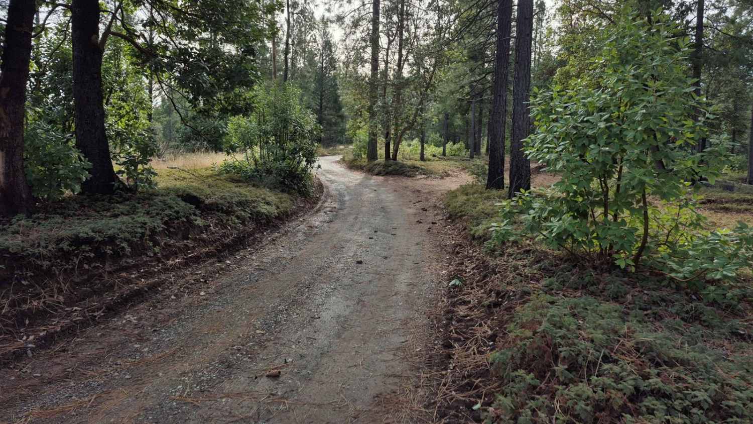
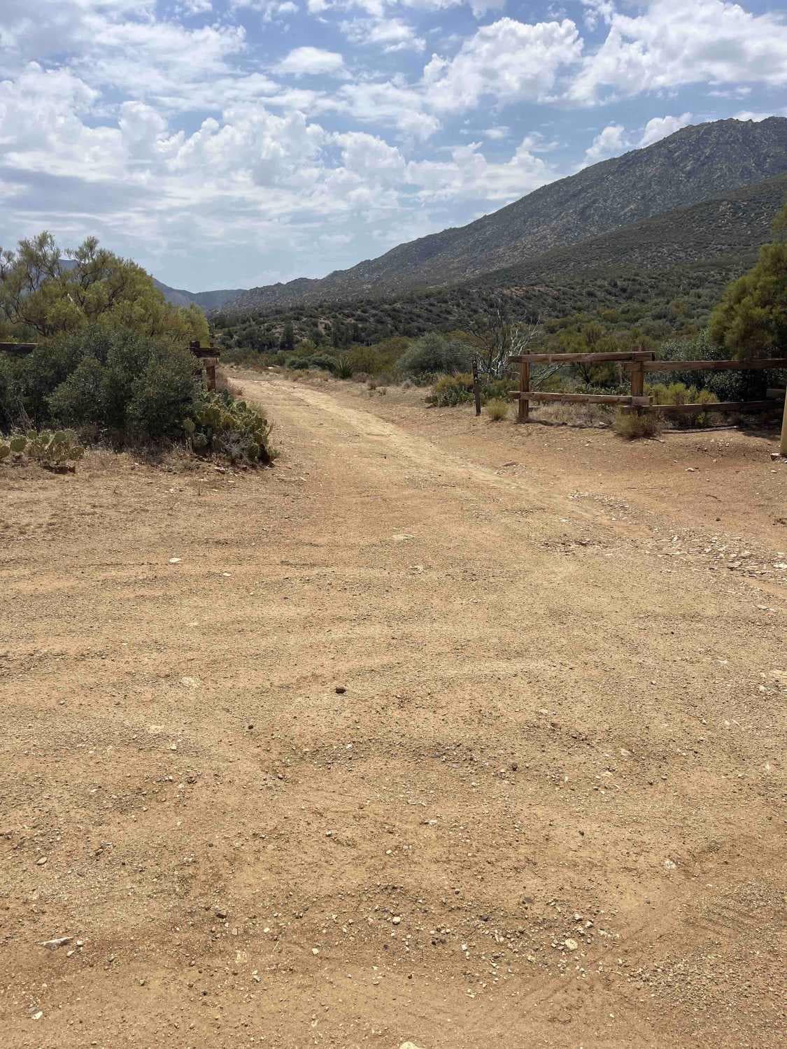
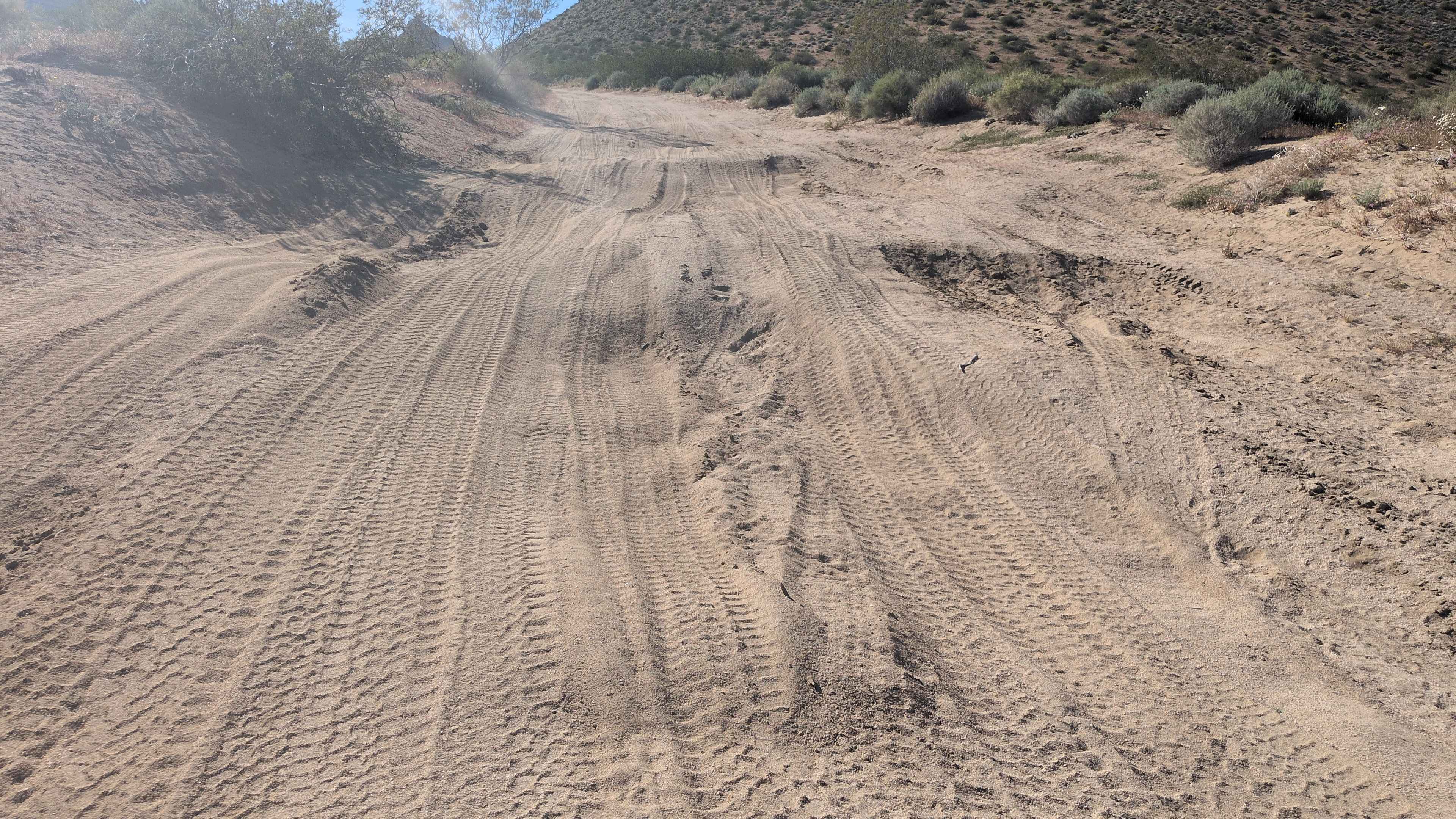
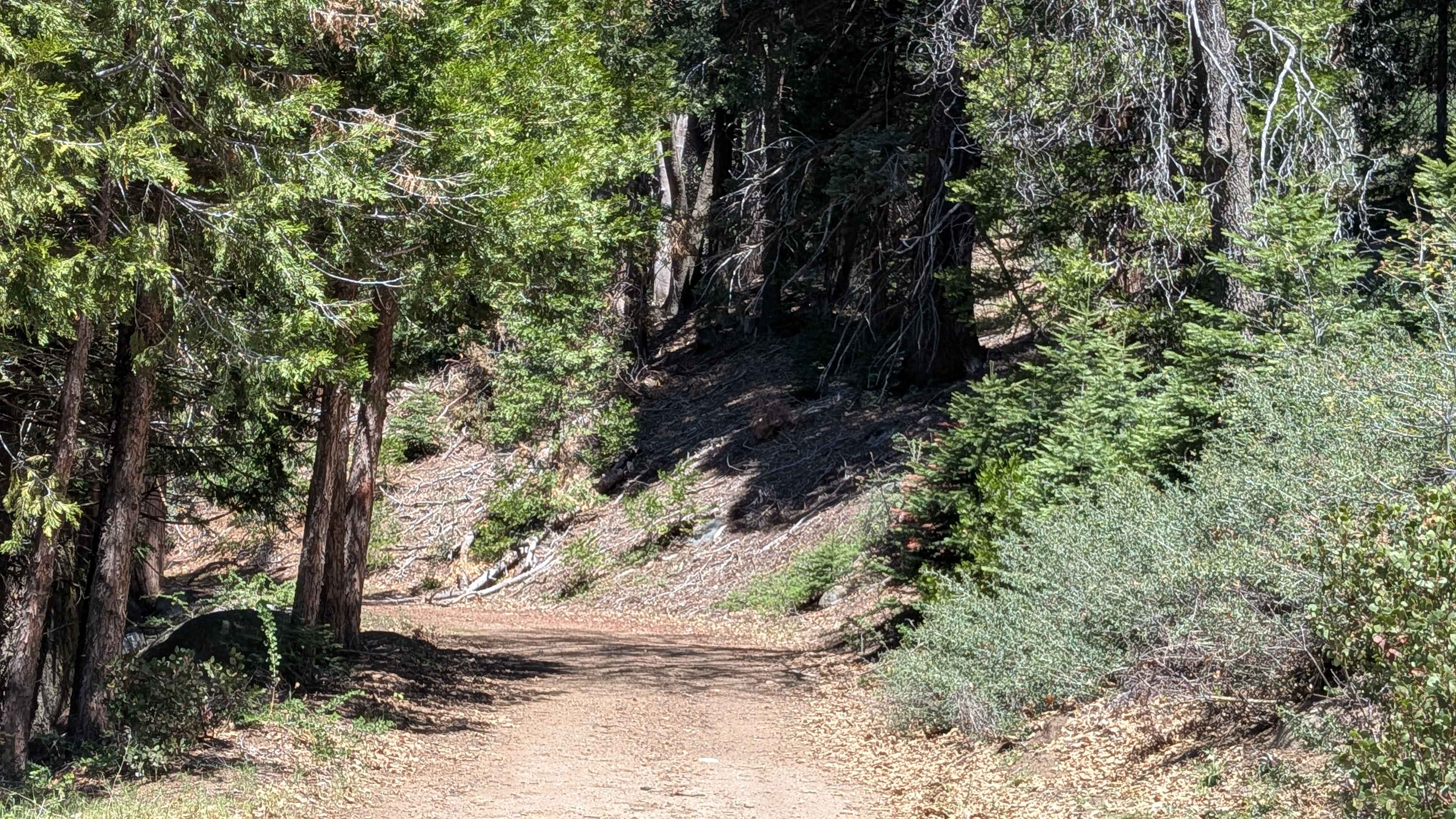
Trail Overview
South Volcanoville (13N56) is a 4.7 mile trail that ends atop Cock Robin Point. The drive in takes about an hour and a half, while the drive back only takes about an hour. Trail width and surface varies throughout, with easy passing through the first 3 miles. After that the trail becomes narrow with fewer spaces to pull off or pass, and is not nearly maintained as well as the beginning. It is a great trail to help beginners gain confidence in climbing and descending hills. The steepest hill on the trail is 28 degrees (53% slope), with minimal roll, and a decent sized turn-around spot just before the climb. During summer this trail can be completed with high clearance AWD vehicles on all-terrain tires. Rain during spring and autumn makes the hills slippery with sticky mud that packs into all-terrain tires fairly quickly.
Photos of South Volcanoville (13N56)

Difficulty
The first 3 miles of South Volcanoville (13N56) are predominantly a technical rating 3 once seasonal maintenance has been completed in the spring. Once the trail enters the Trailhead Fire (2016) scar area, it becomes uneven with obvious signs of erosion. There are a few mud holes, and small stretches of washboarding. The last mile and a half has obstacles that quickly meet technical rating 4, such as loose rock and mud on hills as steep as 28 degrees (53% grade); as well as a much narrower trail with few places to pull off or pass.
Status Reports
South Volcanoville (13N56) can be accessed by the following ride types:
- High-Clearance 4x4
- SUV
- SxS (60")
- ATV (50")
- Dirt Bike
South Volcanoville (13N56) Map
Popular Trails
Sawmill Trail 7S05
Fir Camp - FS 24S22
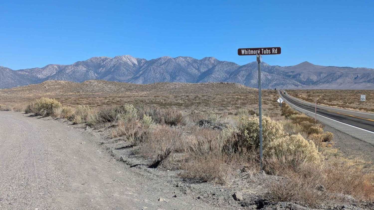
Whitmore Tubs Road
The onX Offroad Difference
onX Offroad combines trail photos, descriptions, difficulty ratings, width restrictions, seasonality, and more in a user-friendly interface. Available on all devices, with offline access and full compatibility with CarPlay and Android Auto. Discover what you’re missing today!