Pinyon Ridge Truck Trail
Total Miles
4.0
Technical Rating
Best Time
Spring, Summer, Fall
Trail Type
Full-Width Road
Accessible By
Trail Overview
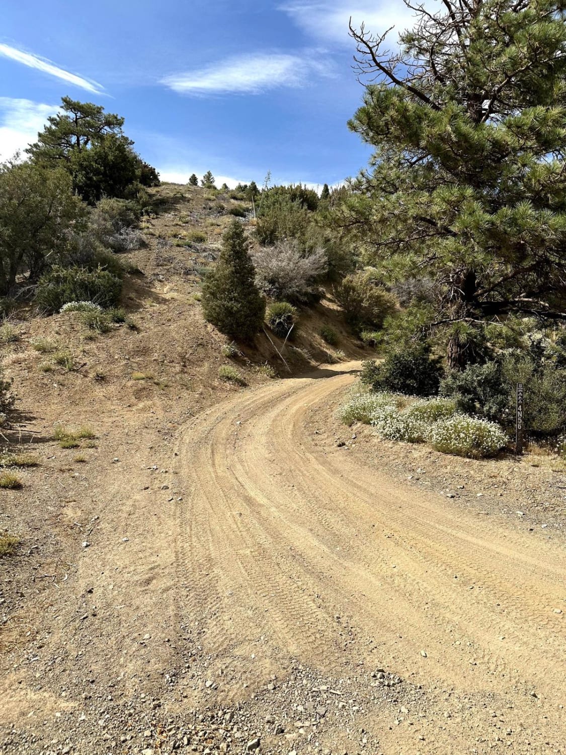
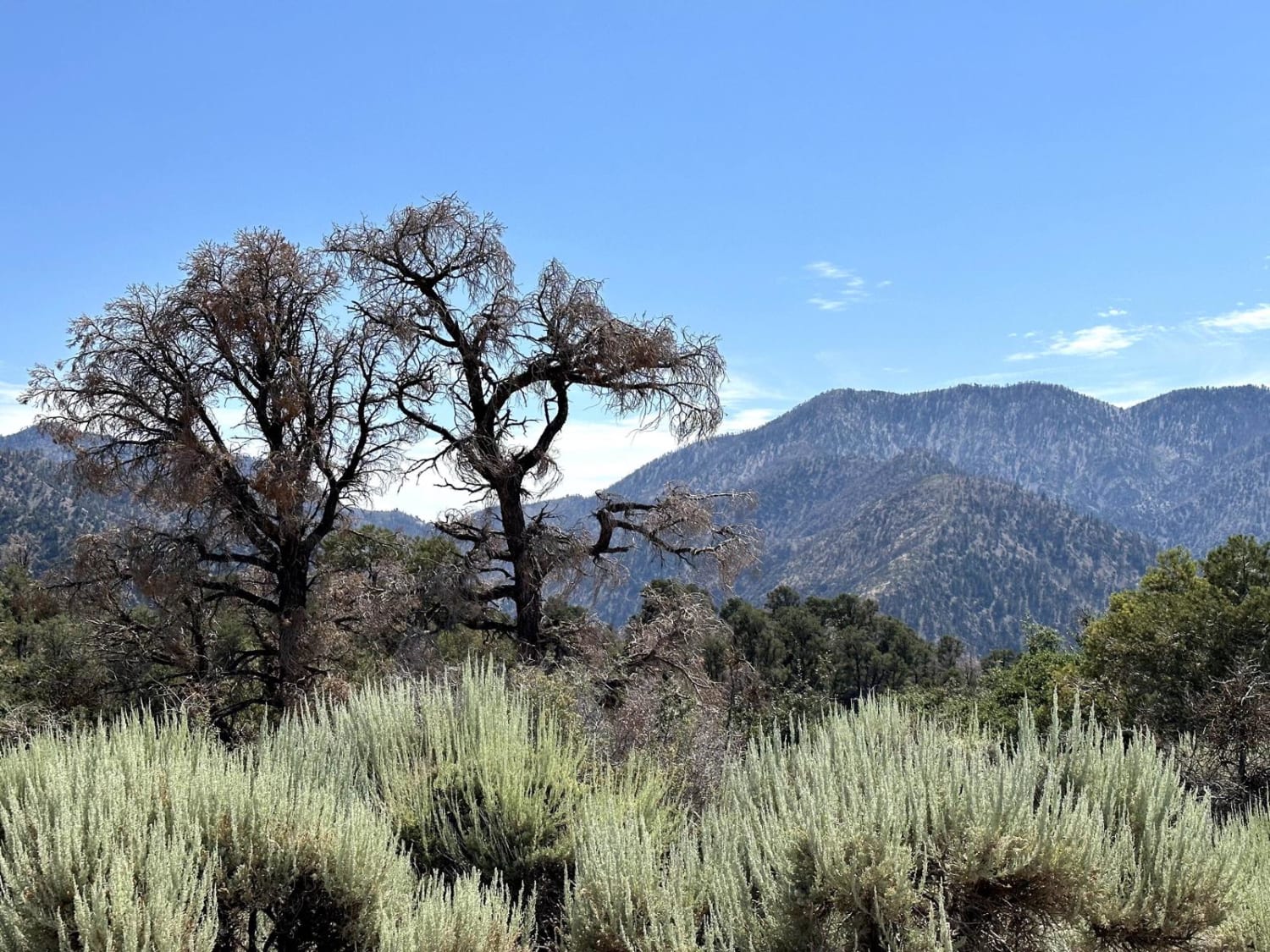
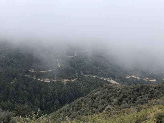
This is a mellow trail along Pinyon Ridge, which is just west of Vincent Gap and Blue Ridge. The trail itself is mellow and surrounded by - you guessed it - single-leaf/needle Pinyon pine trees, which are the namesake of the ridge and native to only the Western United States. There are no less than three pullout areas for dispersed camping. Once you reach the end of the road, enjoy the view of the Antelope Valley and the mountain ranges that flank it, such as the San Gabriels, the Sierra Pelonas, and the Tehachapis.
Photos of Pinyon Ridge Truck Trail
Difficulty
This trail itself is mellow and the terrain isn't challenging, but the trails that connect to it certainly are. Adventurers should only approach the area trails in a 4x4.
Status Reports
Pinyon Ridge Truck Trail can be accessed by the following ride types:
- High-Clearance 4x4
- SUV
- SxS (60")
- ATV (50")
- Dirt Bike
Pinyon Ridge Truck Trail Map
Popular Trails
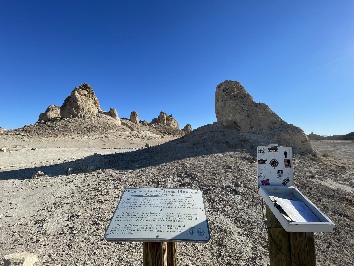
Trona Pinnacles Scenic Loop East (Easy)
Big Spring Road West - FS 31083
Maple Spring Road

South Fork Palm Wash
The onX Offroad Difference
onX Offroad combines trail photos, descriptions, difficulty ratings, width restrictions, seasonality, and more in a user-friendly interface. Available on all devices, with offline access and full compatibility with CarPlay and Android Auto. Discover what you’re missing today!