FS 1S57
Total Miles
1.1
Technical Rating
Best Time
Summer, Fall, Spring
Trail Type
Full-Width Road
Accessible By
Trail Overview
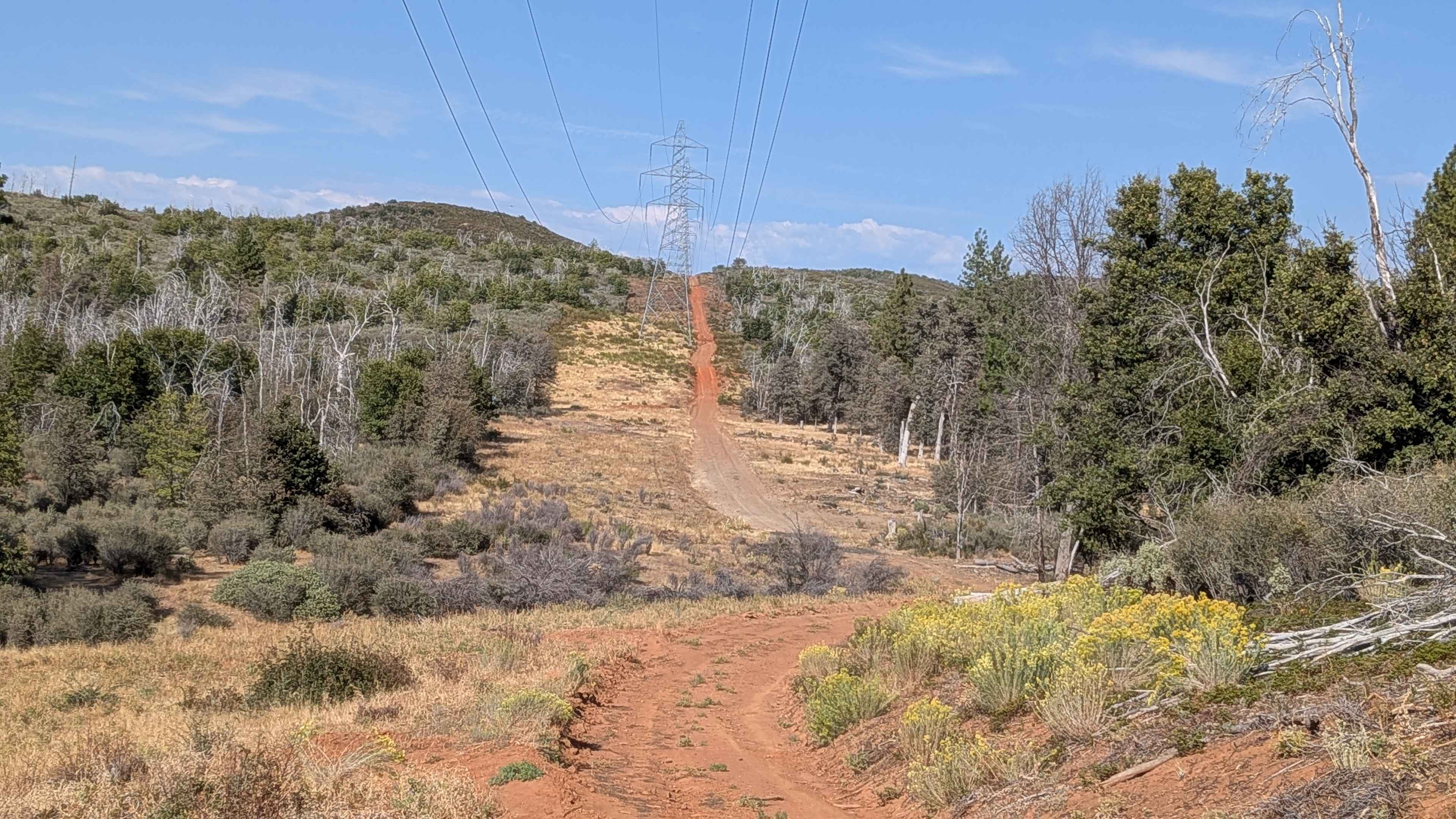
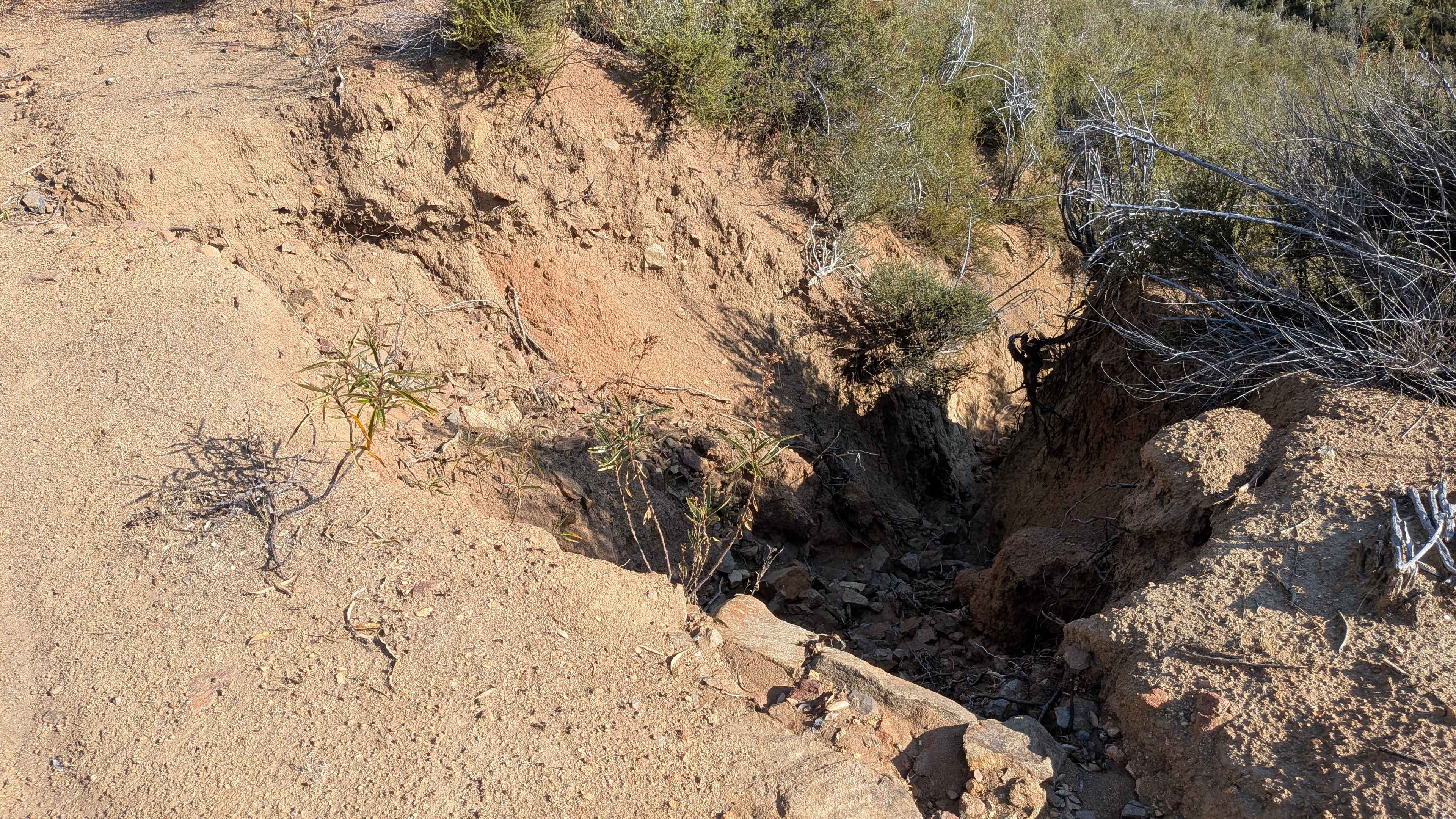
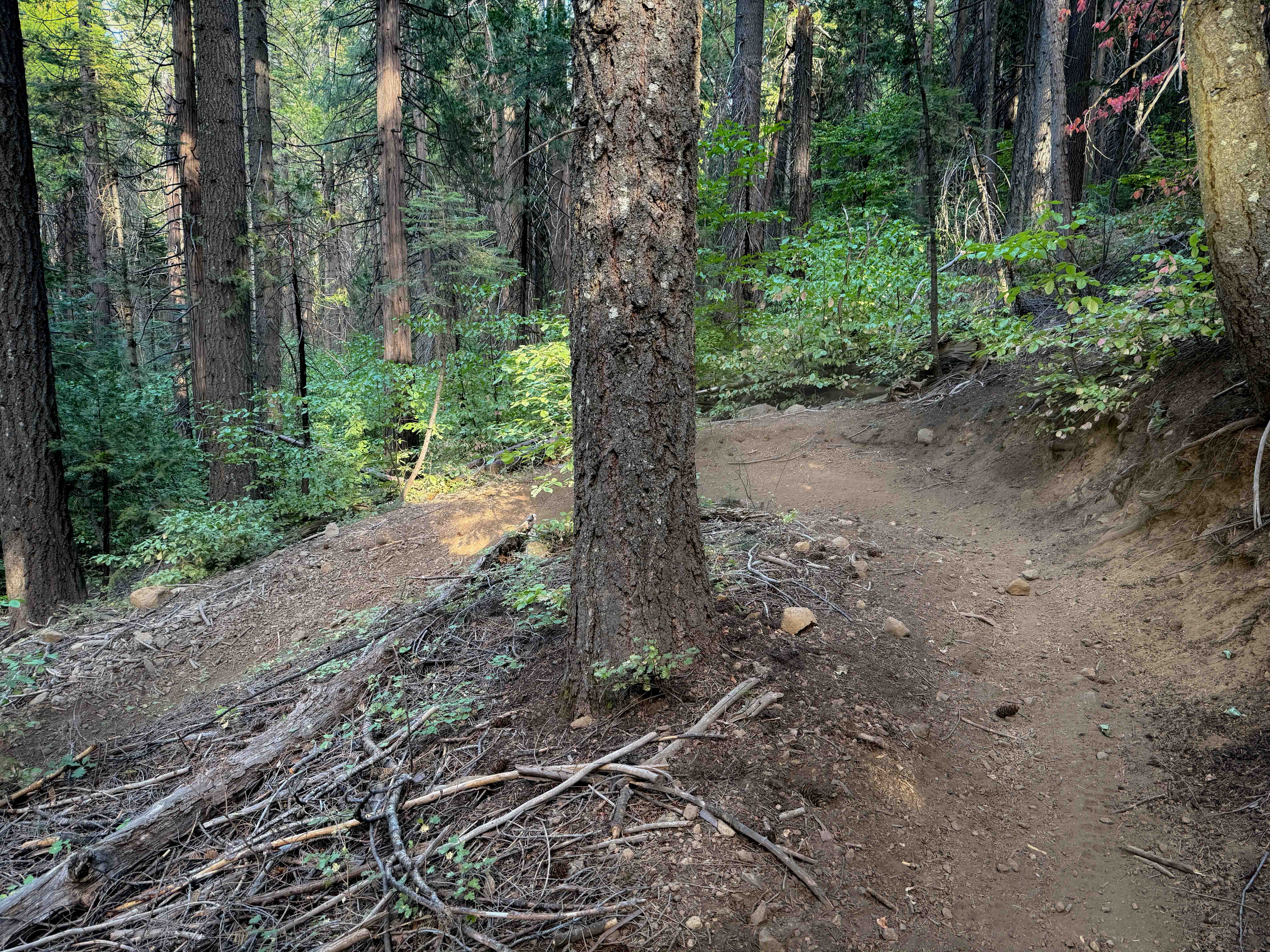
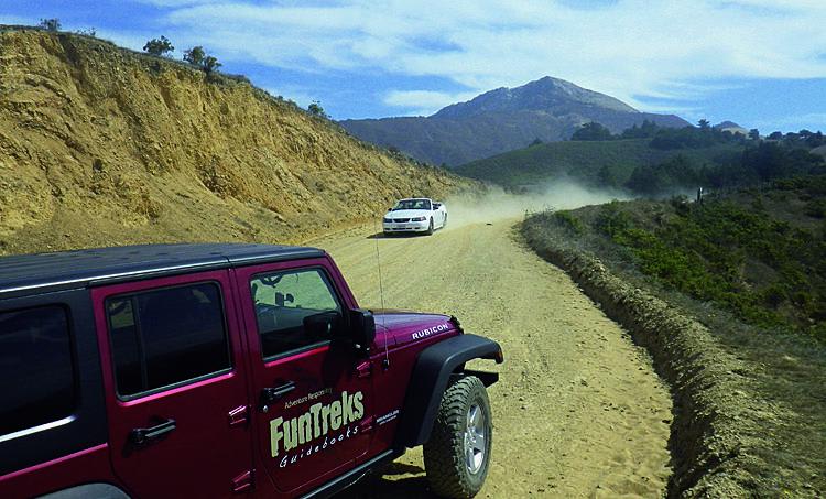
This trail starts and ends on Cherry Lake Road, climbing almost 600 feet and dropping 200 feet in just under 2 miles of challenging terrain. The sand and dirt surface likely becomes very muddy after rain, creating seasonal traction challenges. The route is consistently off-camber, uneven, and bouncy, consisting mostly of sand and dirt with scattered rocks throughout. Part of the trail follows power lines while climbing up and down hills, providing nice views of the surrounding area, including forest and hills. The trail smooths out in sections that have been recently maintained, with drainage ditches positioned on the sides for water management. A couple of small spots feature larger boulders, though nothing exceeds 12 inches in height. However, just before the intended terminus, the trail takes a sharp right and drops down a hill where conditions deteriorate dramatically with very deep ruts exceeding 18 inches in depth. The trail ultimately ends due to a washout that blocks further progress. The power company has been maintaining the trail up to the washout point and will most likely continue restoration work in the future. Only highway legal vehicles are permitted on this route, limiting access to appropriately registered vehicles.
Photos of FS 1S57
Difficulty
Most of this trail receives a difficulty rating of 2, indicating easy conditions, though 4x4 is not required in dry conditions with good tires, but may be helpful when wet or muddy. The off-camber, uneven, and bouncy surface with sand, dirt, and rocks, drainage ditches, and boulders up to 12 inches creates manageable challenges. However, the final section before the washout increases the rating to 5, indicating moderate conditions due to very deep ruts over 18 inches deep and rapidly deteriorating trail conditions. The last section is best avoided due to these extreme conditions.
Status Reports
FS 1S57 can be accessed by the following ride types:
- High-Clearance 4x4
- SUV
FS 1S57 Map
Popular Trails

Deer Creek (#25)
Old Coast Road
The onX Offroad Difference
onX Offroad combines trail photos, descriptions, difficulty ratings, width restrictions, seasonality, and more in a user-friendly interface. Available on all devices, with offline access and full compatibility with CarPlay and Android Auto. Discover what you’re missing today!