FS 1S26
Total Miles
4.9
Technical Rating
Best Time
Summer, Fall, Spring
Trail Type
Full-Width Road
Accessible By
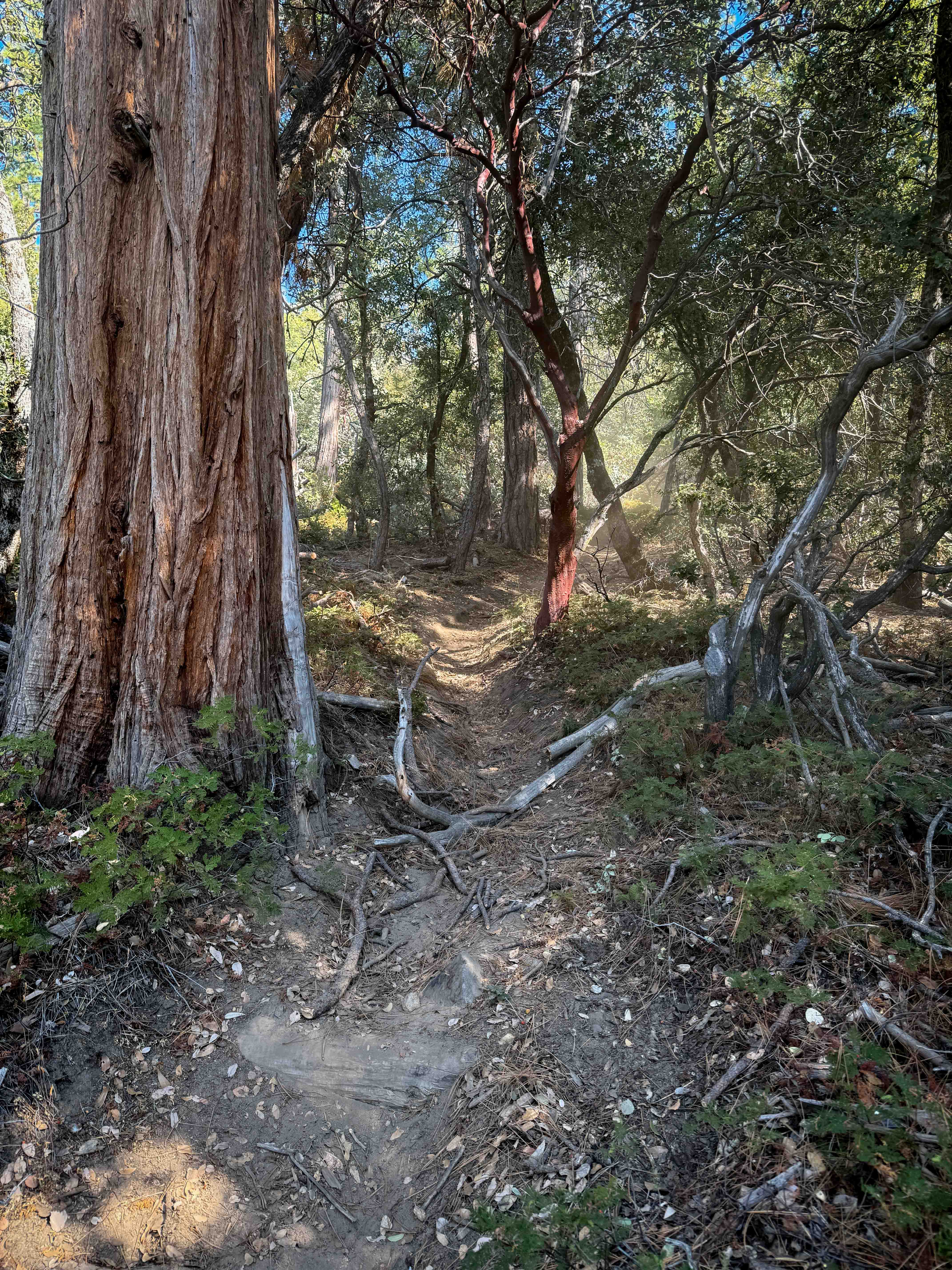
Trail Overview
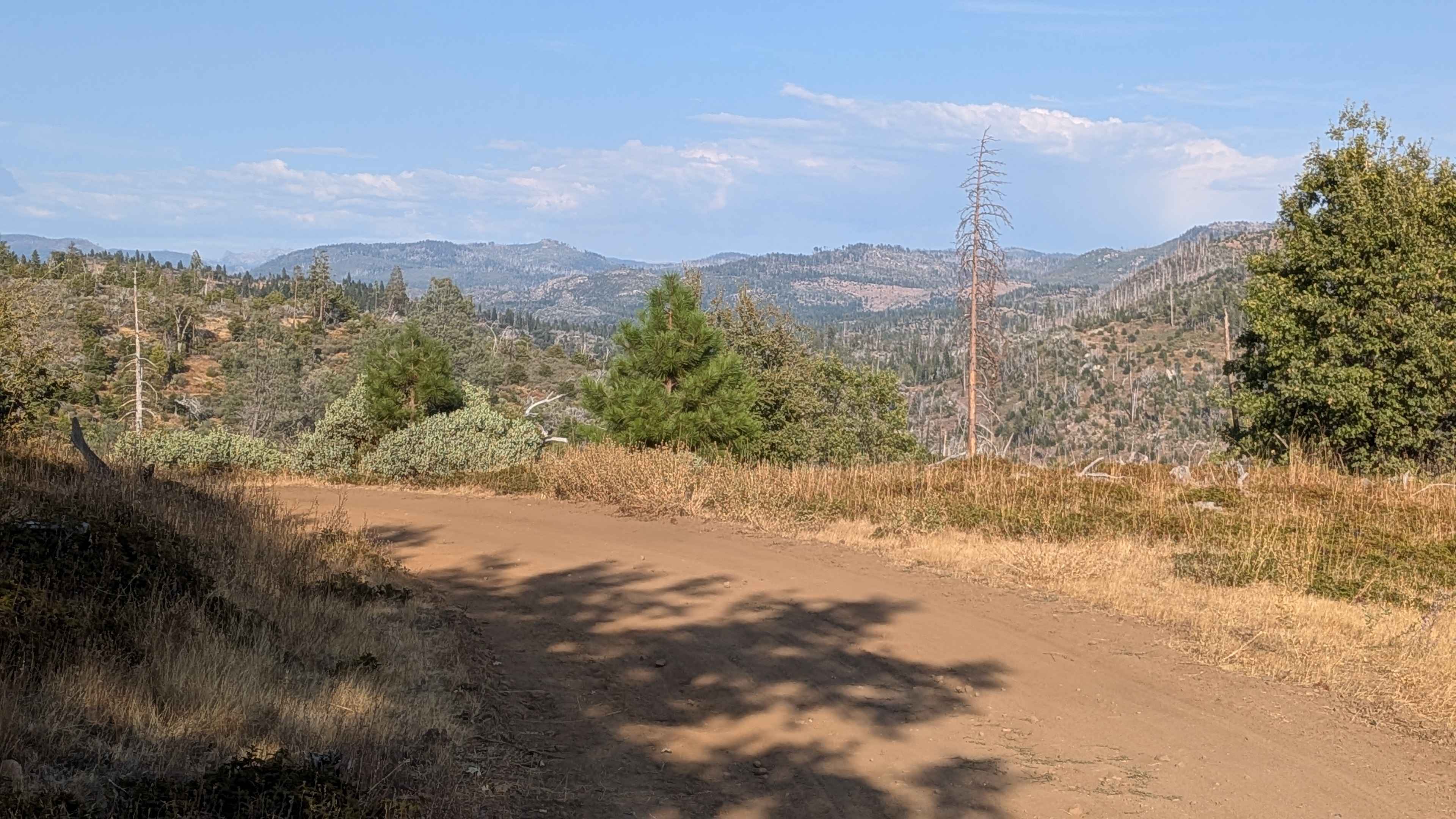
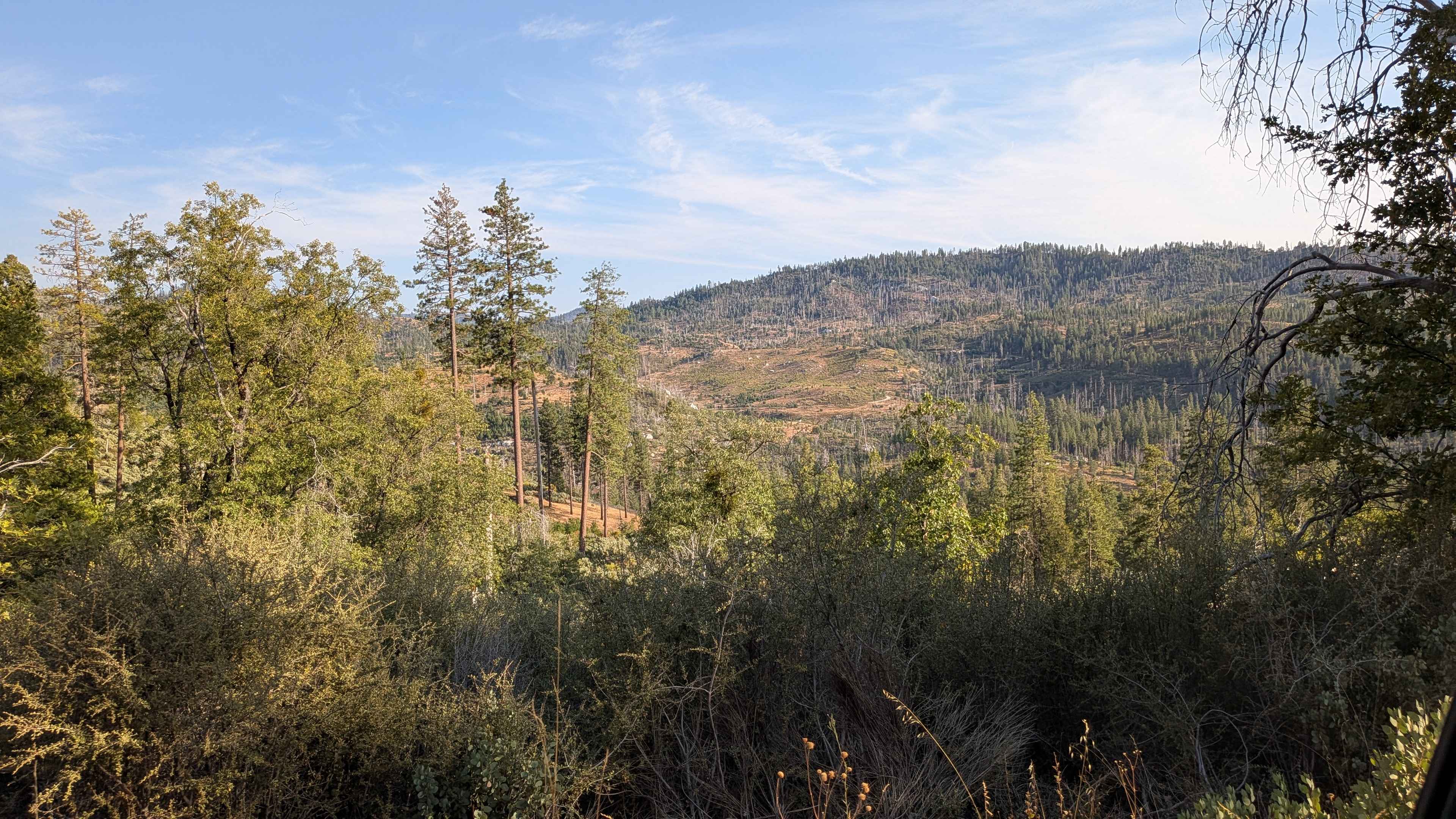
This trail starts just off Cherry Lake Road, climbing over 500 feet and dropping just over 100 feet in just under 5 miles of scenic terrain. The very sandy and dusty surface is lined with brush throughout its length, though most trees and large bushes are absent, most likely due to previous forest fire damage. The route runs along a fiber optic cable line, providing a clear navigation reference while offering spectacular views of Three Chimneys, Red Peak, Gillet Mountain, Dardanelle's Cone, and Belt Mountain to the north. At approximately one mile, even more expansive views of the surrounding mountains become visible as elevation increases. A small rock section appears around mile 1.2, adding minor technical elements to the otherwise smooth route. The trail follows a minor shelf road configuration throughout much of its length, providing elevated perspectives of the surrounding landscape. Several spur trails branch off from the main route, including one that climbs high to a summit ridge designated as 18EV419. An exit option exists around the halfway point via Forest Service Road 1S33 down to Mather Road (FS 1S02), which connects back to Cherry Lake Road for those seeking a shorter journey. The eastern half of the trail has been recently graded and provides very smooth driving conditions. The route passes through a section of forest that is almost completely burnt or dead, showcasing the dramatic effects of wildfire on the landscape. The trail terminates at the Middle Tuolumne River Trail, and only highway legal vehicles are permitted.
Photos of FS 1S26
Difficulty
This trail has an easy difficulty rating based on the sandy and dusty surface, recently graded smooth eastern section, and minor shelf road configuration. The small rock section around mile 1.2 and the sandy surface create manageable challenges that require basic attention but remain accessible to highway legal vehicles with adequate ground clearance.
Status Reports
FS 1S26 can be accessed by the following ride types:
- High-Clearance 4x4
- SUV
FS 1S26 Map
Popular Trails
ST 3221 Moto
Little Bear Spring - 2N84
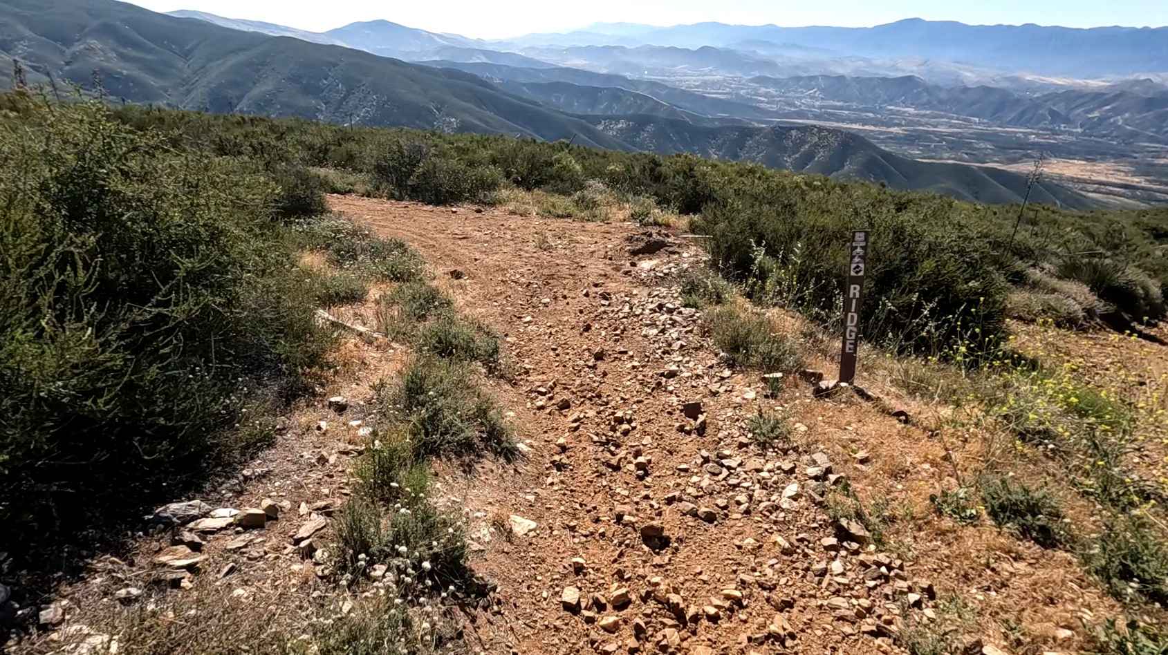
Ridge Trail
The onX Offroad Difference
onX Offroad combines trail photos, descriptions, difficulty ratings, width restrictions, seasonality, and more in a user-friendly interface. Available on all devices, with offline access and full compatibility with CarPlay and Android Auto. Discover what you’re missing today!