FS 1S117
Total Miles
1.7
Technical Rating
Best Time
Fall, Summer
Trail Type
Full-Width Road
Accessible By
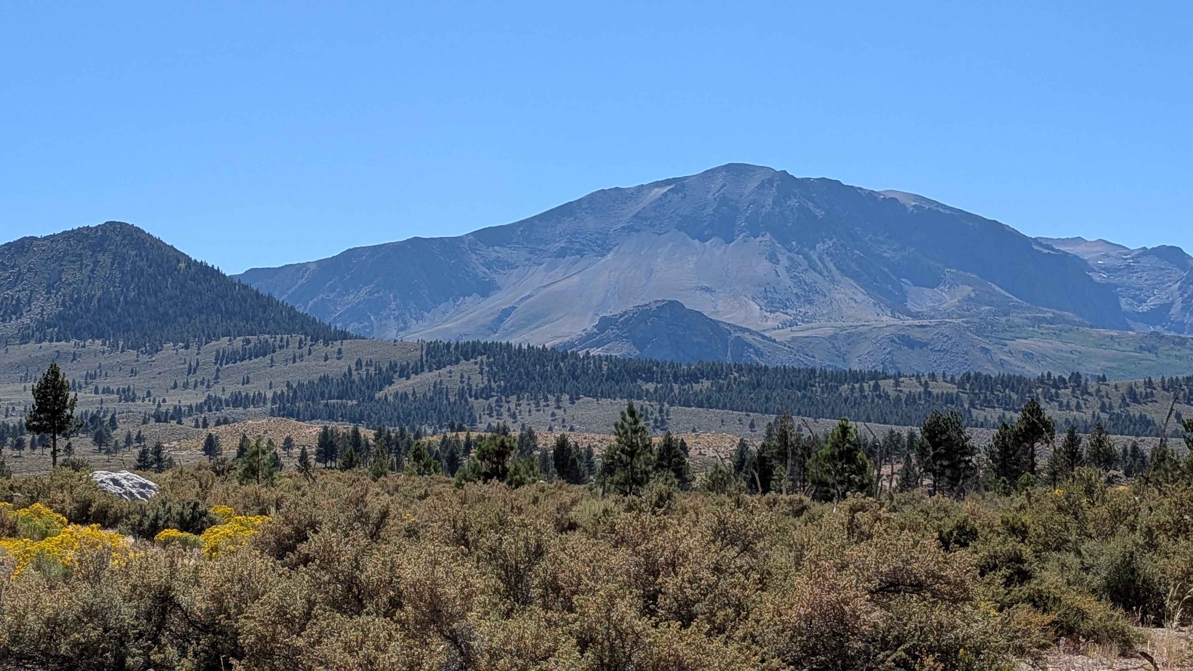
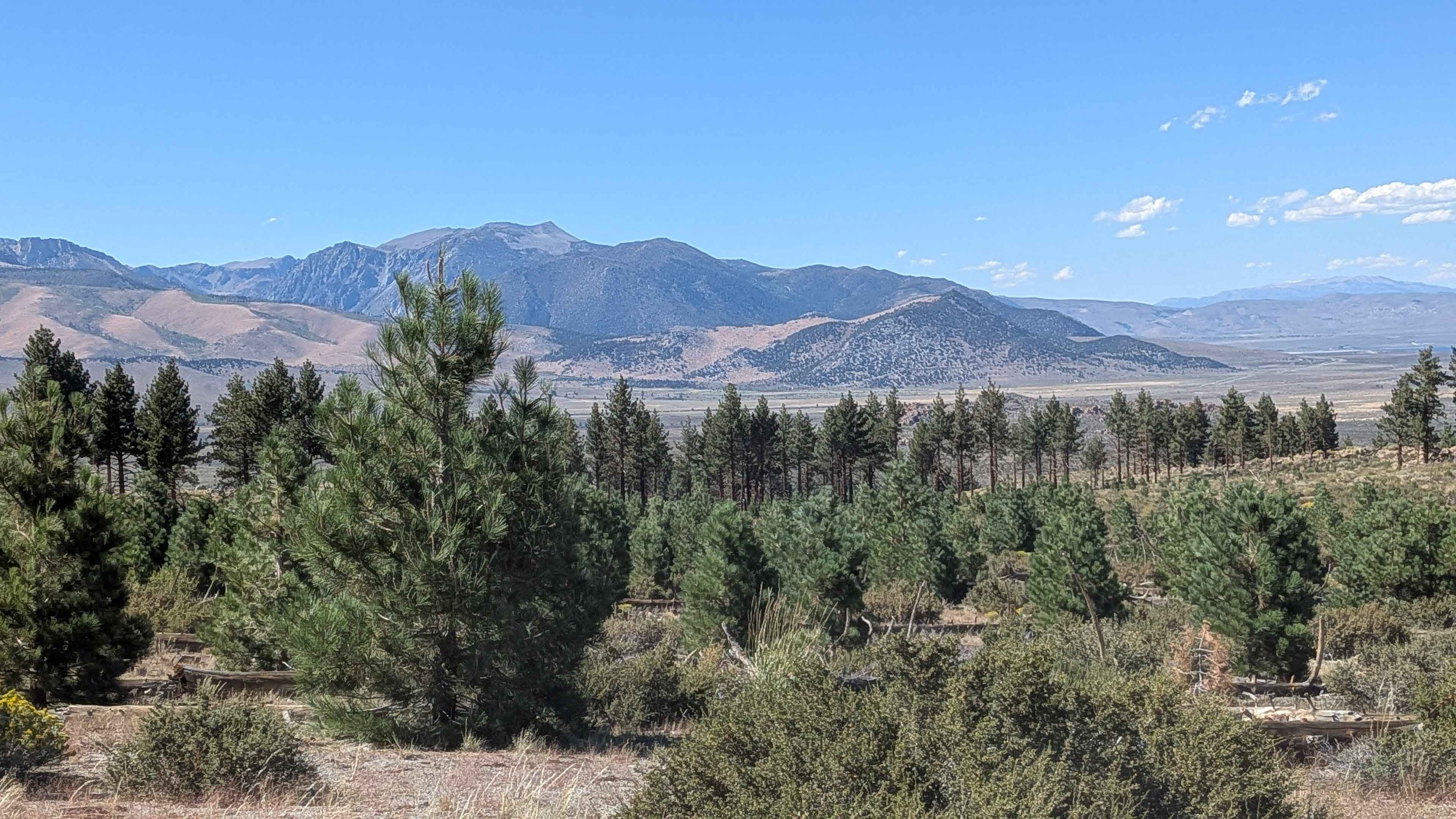
Trail Overview
This route offers expansive views of Mono Lake and the Eastern Sierras while cutting through a thinned-out pine forest. The trail climbs almost 300 feet and drops over 200 feet as it travels up onto a ridge before ending at Highway 395. There's also an alternate start under Highway 395 via a tunnel that takes you to Forest Service Road FS1S106, and the trail can also be accessed from spur FS1S137A, providing multiple entry options for this scenic ridge route.
Photos of FS 1S117
Difficulty
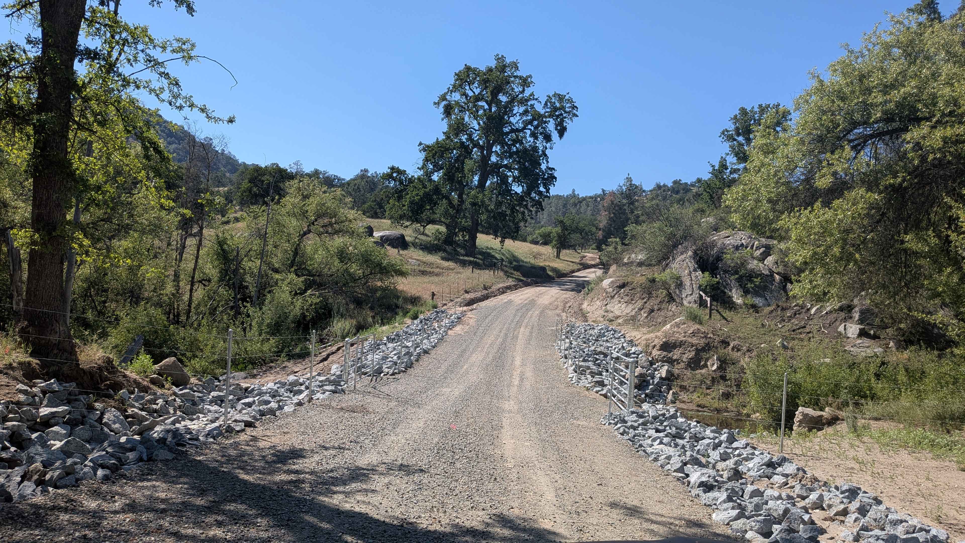
This trail earns a low difficulty rating with its pumice and sand surface that creates very dusty conditions. The trail width varies from 1 to 1.5 vehicles wide, with some spots that are very narrow with overgrown brush that will give you pinstripes. There are lots of whoops in the beginning section close to Highway 395. There are some overgrown vegetation to get around and over. Manage speed coming down a hill toward the 395.
Status Reports
FS 1S117 can be accessed by the following ride types:
- High-Clearance 4x4
- SUV
- SxS (60")
- ATV (50")
- Dirt Bike
FS 1S117 Map
Popular Trails

Aurora Cutoff R14

El Camino Estate Road - FS 32150
Engineer Point Overlook
Poso Flat Road
The onX Offroad Difference
onX Offroad combines trail photos, descriptions, difficulty ratings, width restrictions, seasonality, and more in a user-friendly interface. Available on all devices, with offline access and full compatibility with CarPlay and Android Auto. Discover what you’re missing today!