BLM SE741
Total Miles
2.6
Technical Rating
Best Time
Fall, Summer, Spring
Trail Type
Full-Width Road
Accessible By
Trail Overview
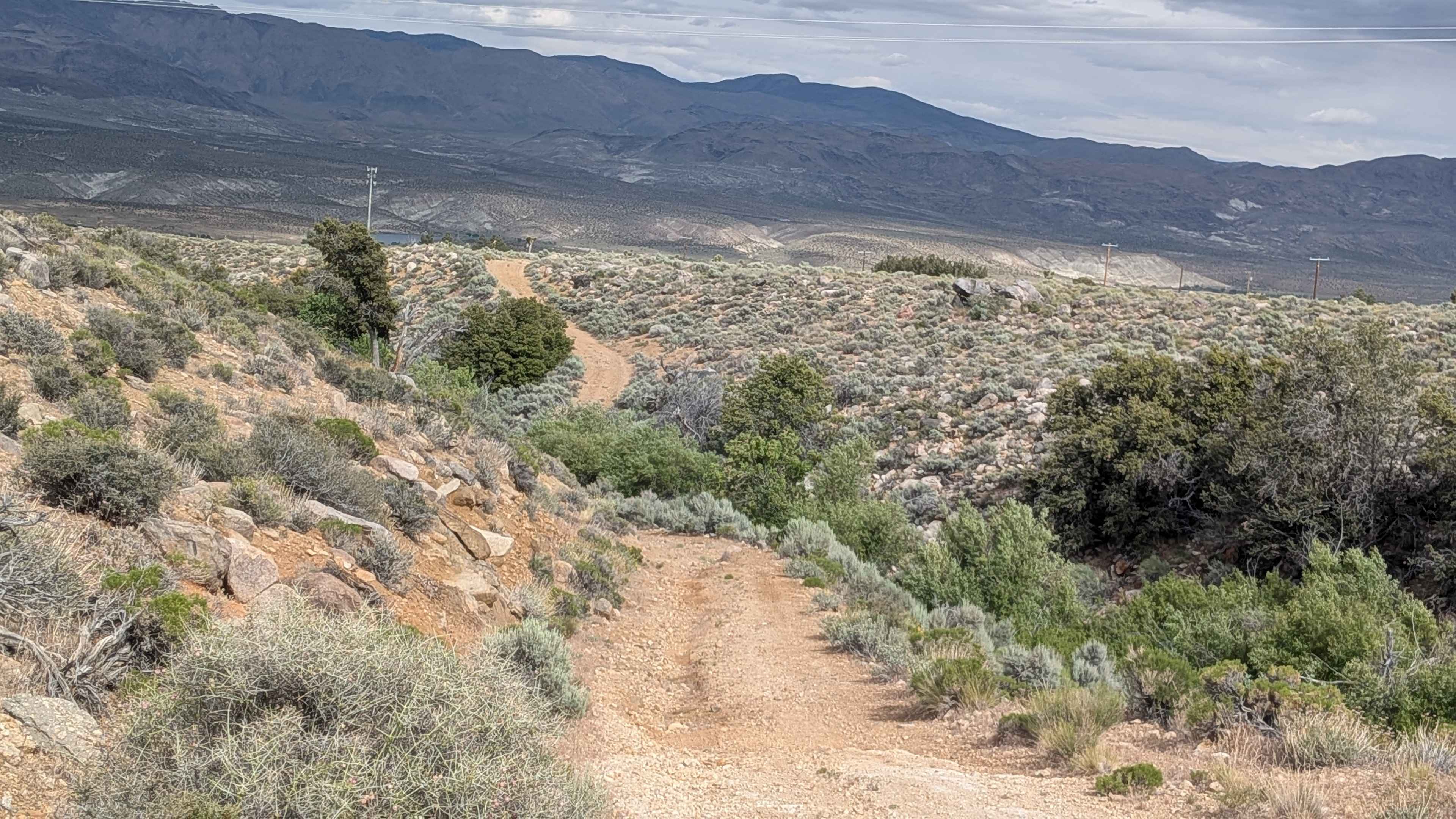
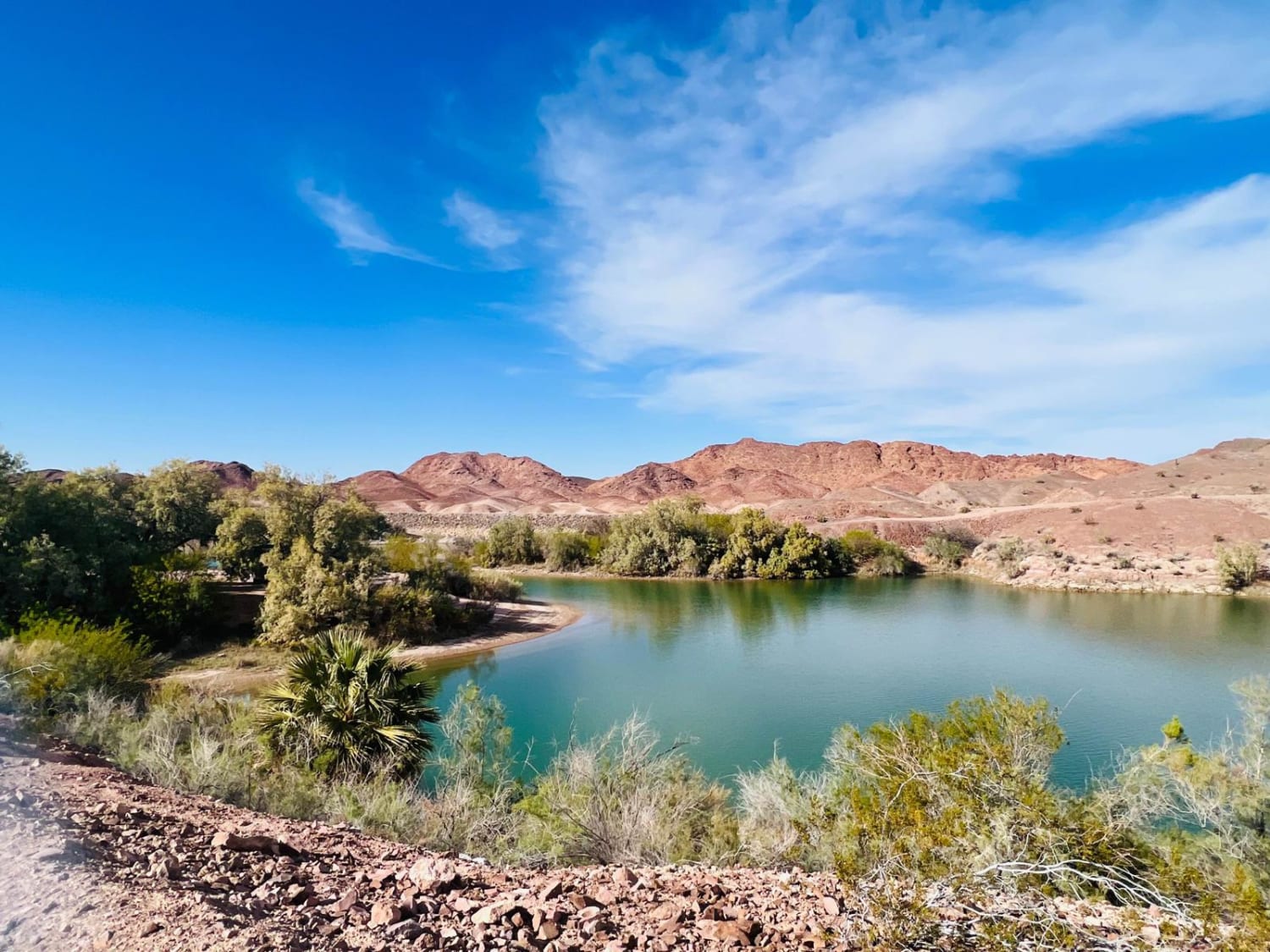
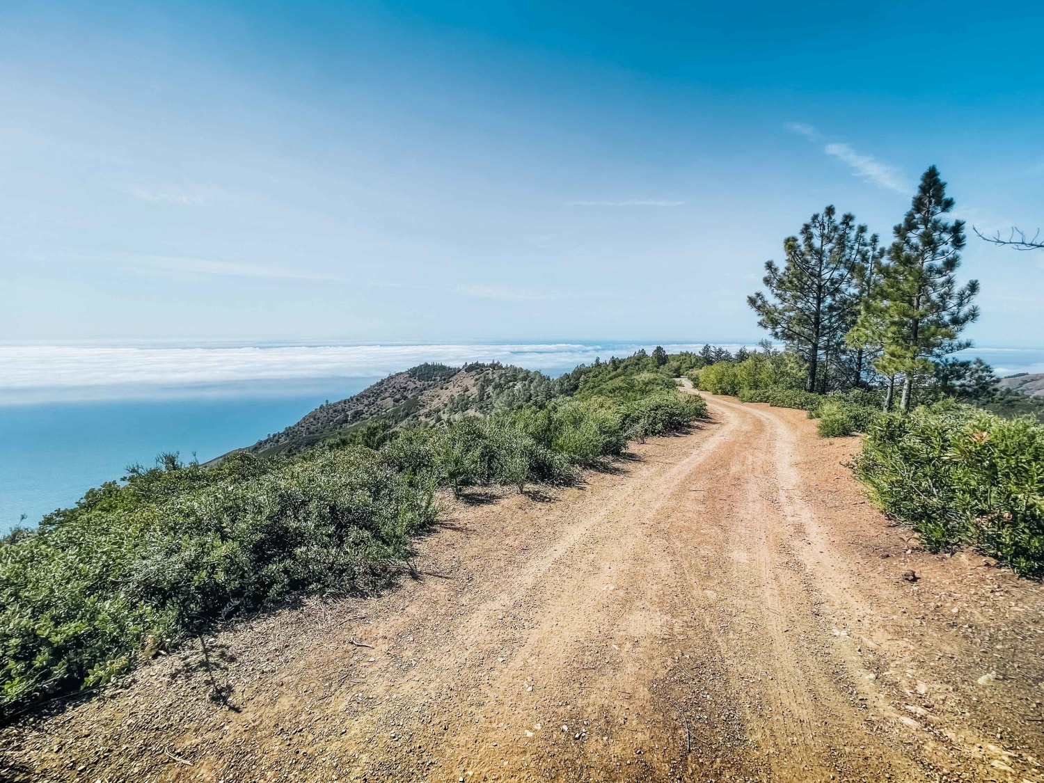
BLM SE741 picks up from the south end of BLM SE740 and continues the power line corridor through open Owens Valley desert, rolling up and down hills and threading through small washes in a meandering route that gradually reveals its teeth before ending at Sage Flat Road. The surface is loose sand with embedded rocks throughout. Views remain strong throughout, with the Eastern Sierra to the west and the Coso Range to the east providing the familiar panorama of this corridor.
Photos of BLM SE741
Difficulty
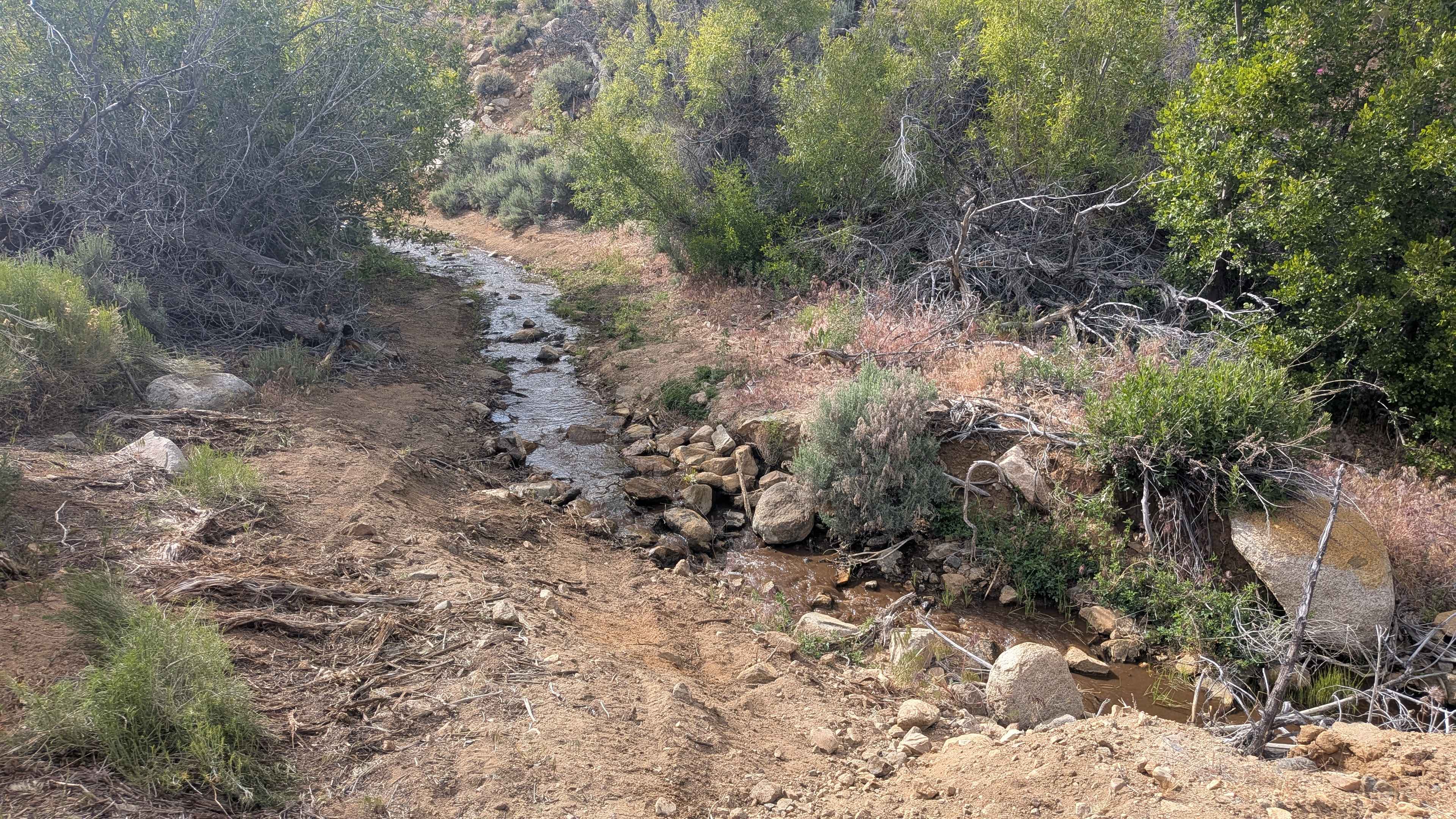
Most of the trail presents a rating from 2 to 3 experience with ruts, off-camber sections, shelf road stretches, and rocky patches, all generally under 12 inches. However, some ruts exceed 24 inches deep and while these can be bypassed with careful line selection, they demand attention and a capable rig. The trail earns its Rating 4 one of two water crossings. The more significant of the two drops into a washout, then climbs back out via a steep, off-camber slope of loose sand and a rock obstacle, a combination that stacks multiple hazards in quick succession and represents the crux of the route. Drivers should assess this section carefully before committing, particularly after wet weather or when sand conditions are at their softest.
Status Reports
BLM SE741 can be accessed by the following ride types:
- High-Clearance 4x4
- SUV
- SxS (60")
- ATV (50")
- Dirt Bike
BLM SE741 Map
Popular Trails
Sugarloaf - FS 9S08
The onX Offroad Difference
onX Offroad combines trail photos, descriptions, difficulty ratings, width restrictions, seasonality, and more in a user-friendly interface. Available on all devices, with offline access and full compatibility with CarPlay and Android Auto. Discover what you’re missing today!