BLM SC42
Total Miles
1.8
Technical Rating
Best Time
Fall, Summer, Spring
Trail Type
Full-Width Road
Accessible By
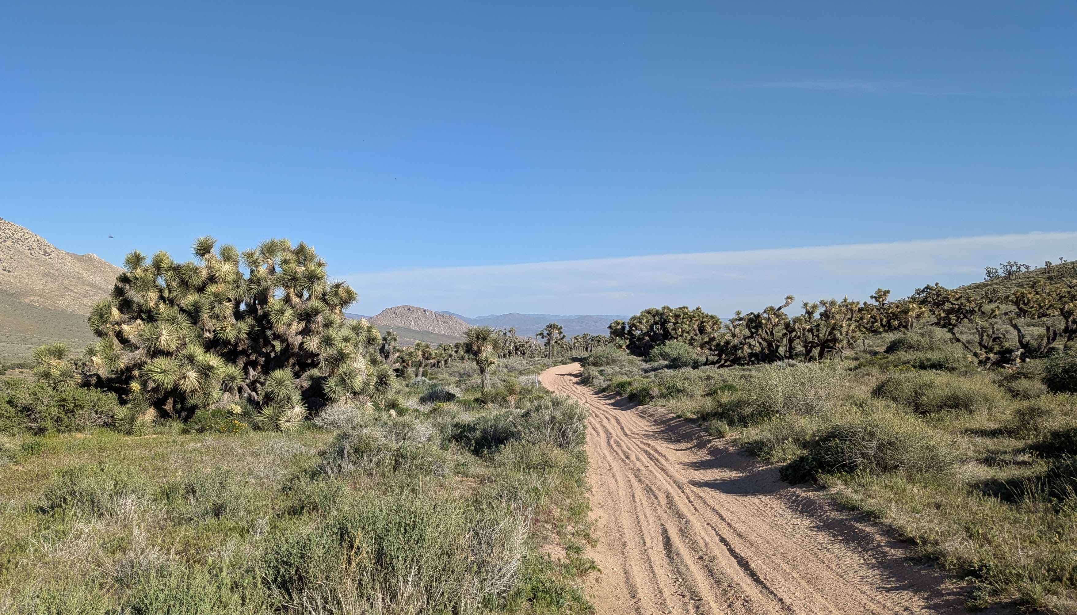
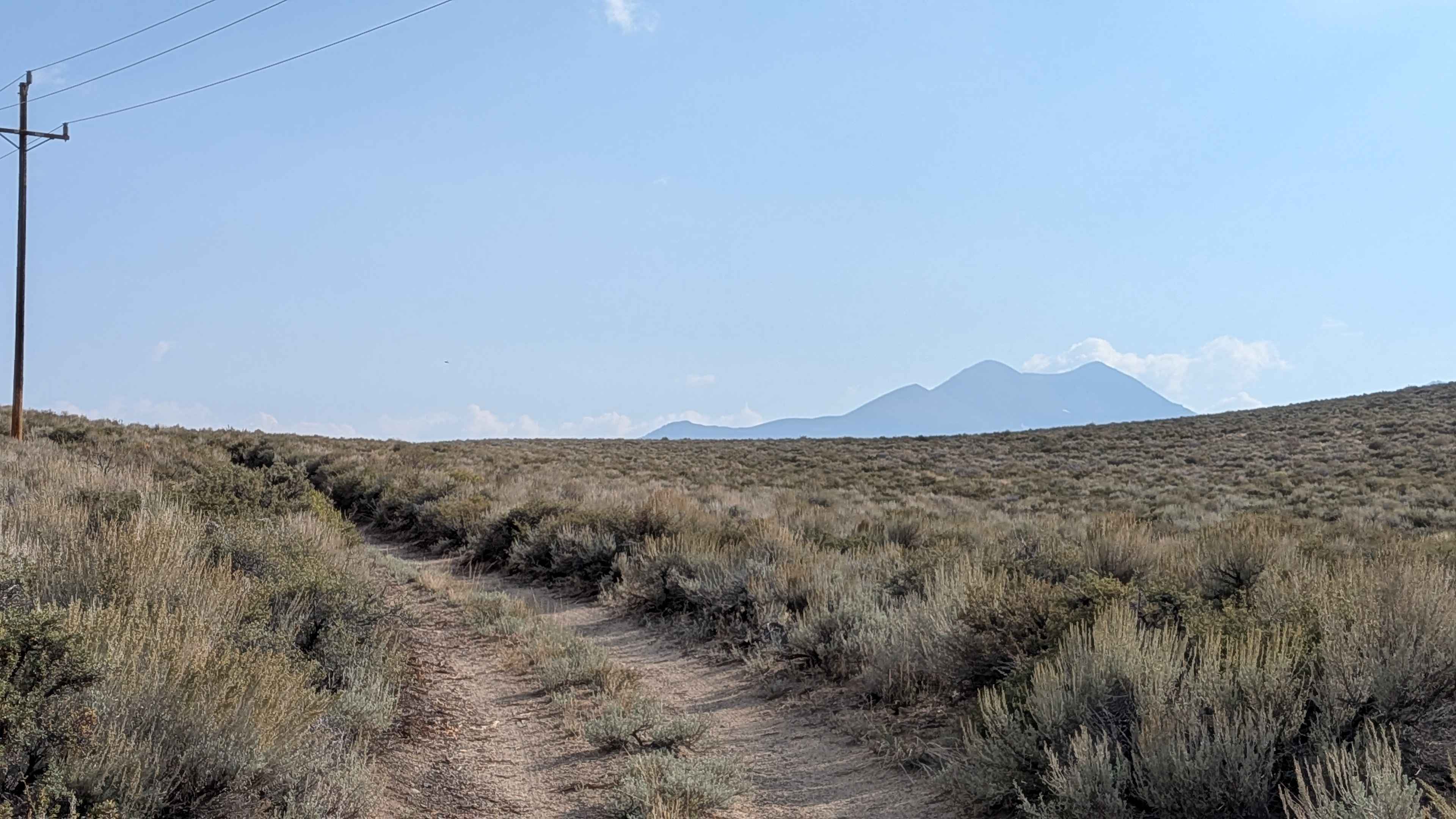
Trail Overview
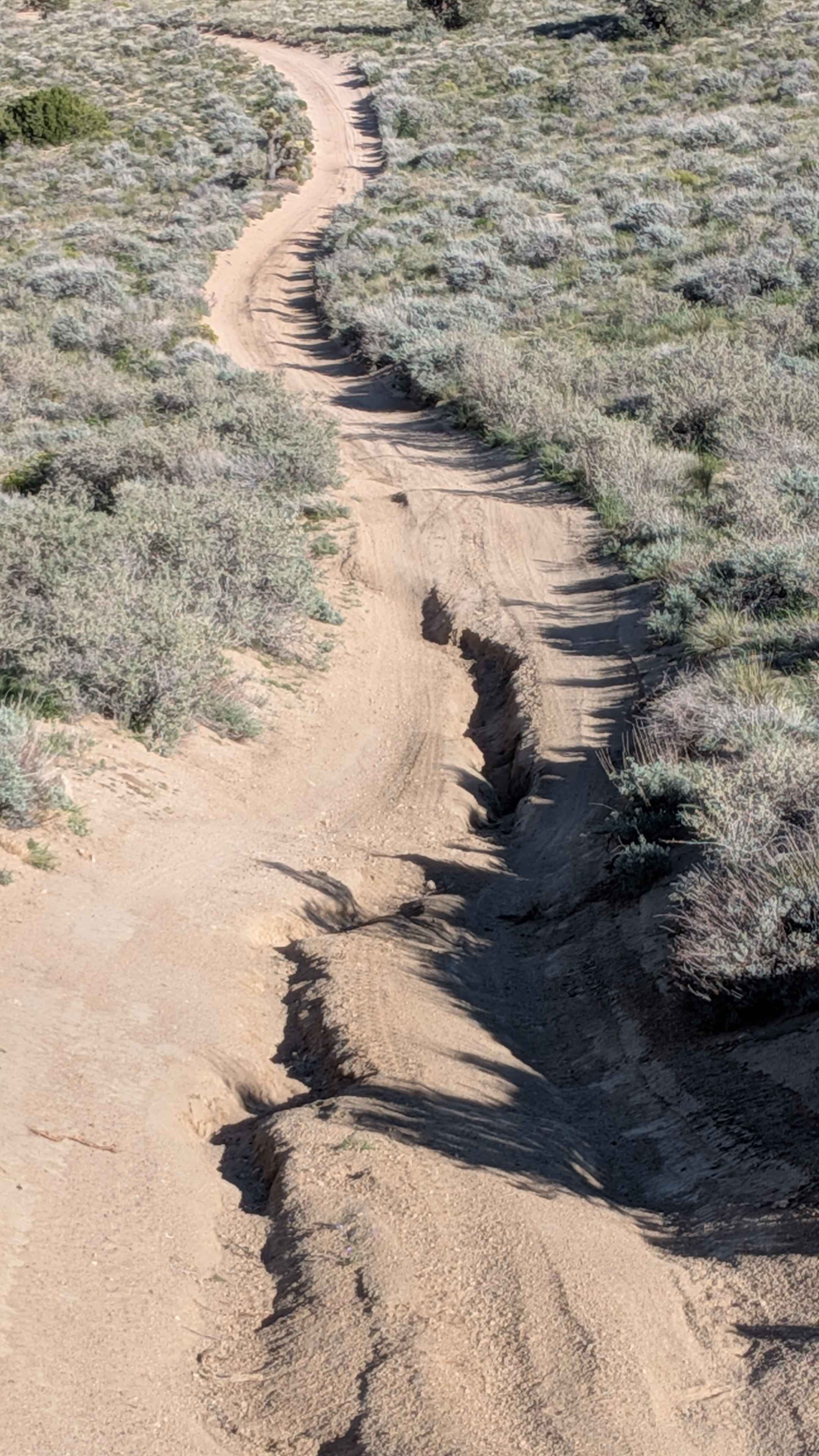
Dropping over 700 feet in under 2 miles, this one vehicle wide route combines mostly sand and gravel while descending rapidly. Lined with sagebrush, large groups of Joshua trees, and seasonal blooming wildflowers, creating a dense vegetation corridor. Stunning views of the Eastern Sierra Mountains surround you from all directions. Wyleys Knob looms high above, offering a fun side visit destination from the main route. A few spots feature ruts up to 12 inches near the top and in the middle sections, creating obstacles during the descent.
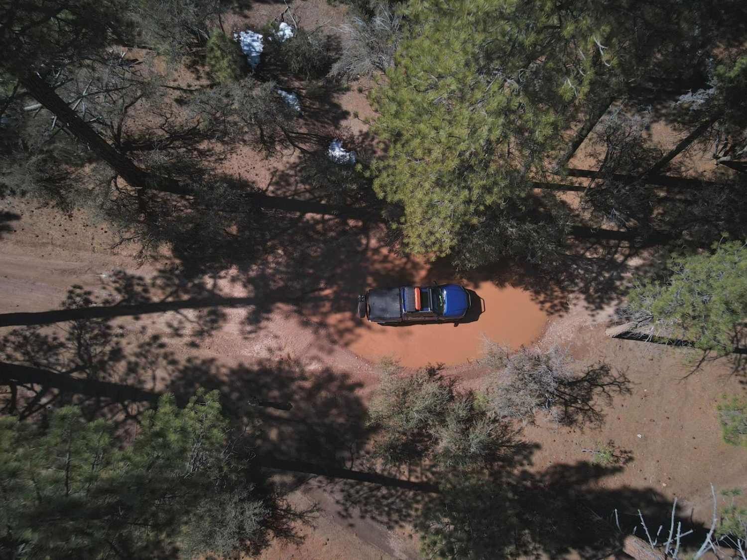
Photos of BLM SC42
Difficulty
That 700-foot drop in under 2 miles means an extremely steep, sustained descent requiring low range and careful braking control. One vehicle width leaves no margin for error on the steep grades. Those few rut spots up to 12 inches near the top and middle add obstacles to the already demanding descent. A sand and gravel surface can be slippery when braking. High clearance handles the 12-inch ruts while four wheel drive in low range controls the steep descent. This rates higher for the descent challenge than obstacle difficulty alone.
Status Reports
BLM SC42 can be accessed by the following ride types:
- High-Clearance 4x4
- SUV
- SxS (60")
- ATV (50")
- Dirt Bike
BLM SC42 Map
Popular Trails
Pilot Cutoff - FS 6S063A
Pole Line Cutoff
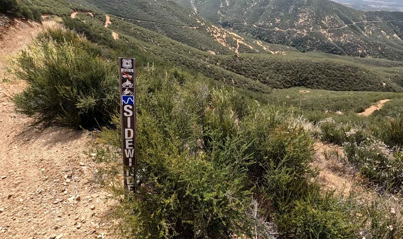
Sidewinder OHV Trail
Van Dusen Creek - 3N07
The onX Offroad Difference
onX Offroad combines trail photos, descriptions, difficulty ratings, width restrictions, seasonality, and more in a user-friendly interface. Available on all devices, with offline access and full compatibility with CarPlay and Android Auto. Discover what you’re missing today!